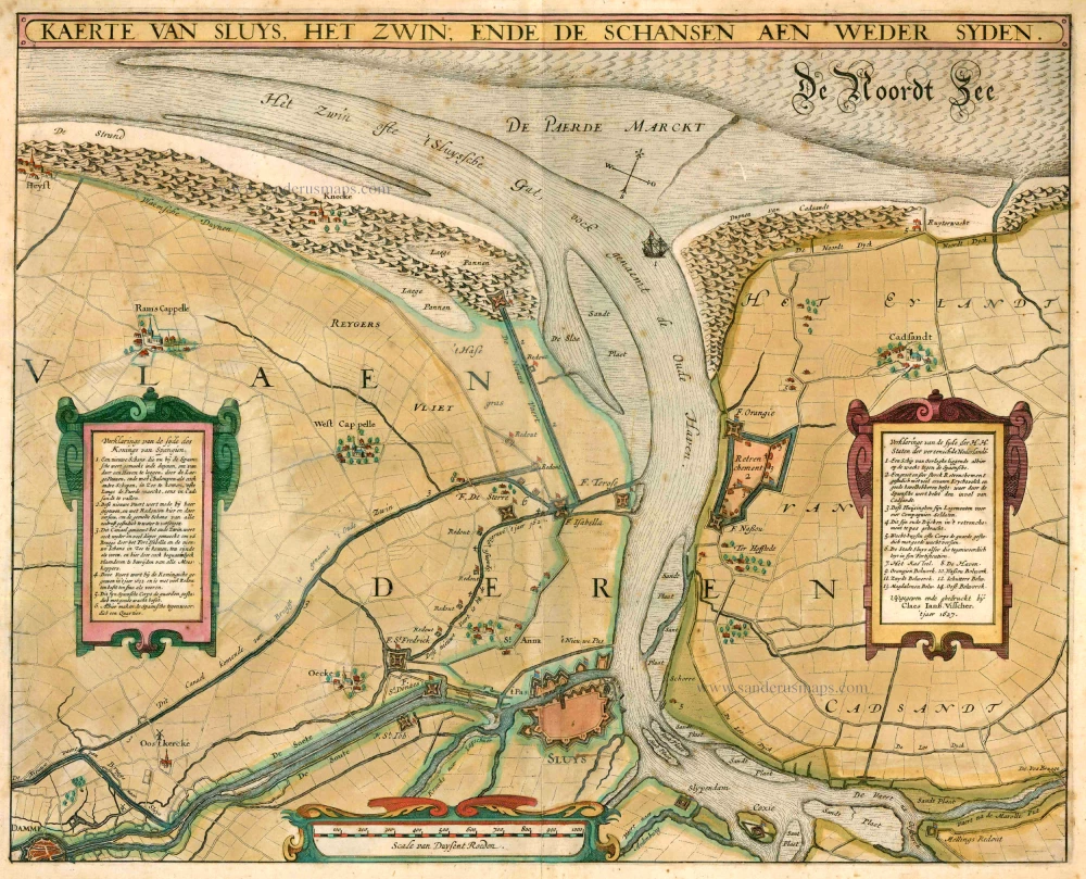
A very rare antique map of "Het Zwin" by C.J. Visscher. 1634
Kaerte van Sluys, het Zwin ende de Schansen aen weder Syden.
Item Number: 10590 Authenticity Guarantee
Category: Antique maps > Europe > Belgium
A very rare antique map of "Het Zwin" by C.J. Visscher.
Covers the region of Knokke - Brugge - Sluis.
Title: Kaerte van Sluys, het Zwin ende de Schansen aen weder Syden.
Date: 1634.
Copper engraving, printed on paper.
Size (not including margins): 365 x 455mm (14.37 x 17.91 inches).
Verso: Blank.
Condition: Original coloured, age-toned.
Condition Rating: B.
From: Belgium sive Germania Inferior continens provincias singulares septemdecim iuxta artem Geographicam perfectissime descripta, variisque regionum partibus distinctis tabulis aucta per N.J. Piscatorem. Anno 1634. (Koeman, III, Vis1 A)

