
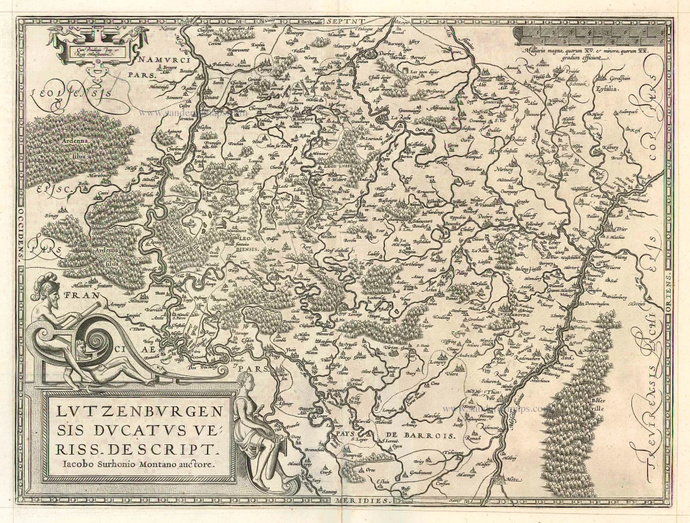
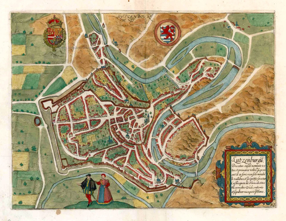
Luxembourg, by Braun & Hogenberg. 1596-1640
The item displayed on this page has been sold. However, we have a similar map in stock:
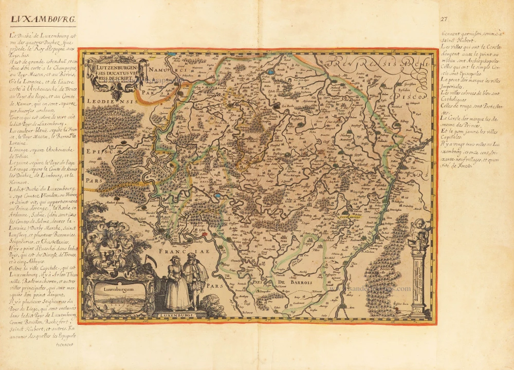
Luxembourg, by Georg Braun & Frans Hogenberg. 1623
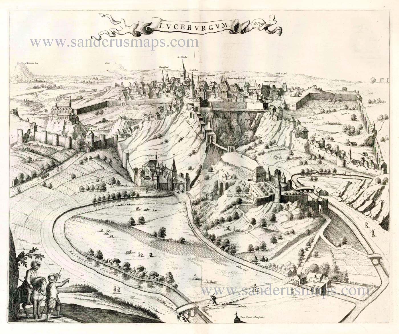
Lucenburgum Urbs eiusdem nominis Ducatus primaria...
[Item number: 31261]
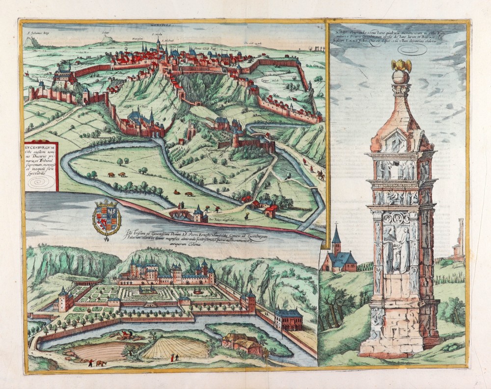
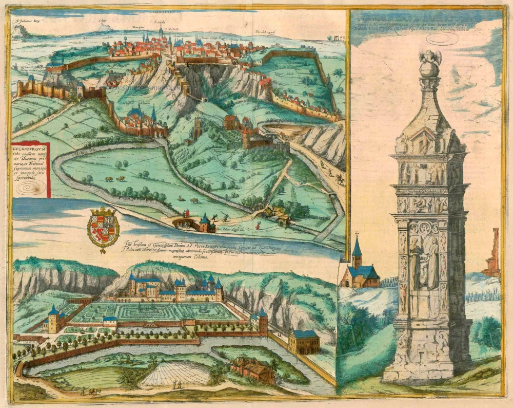
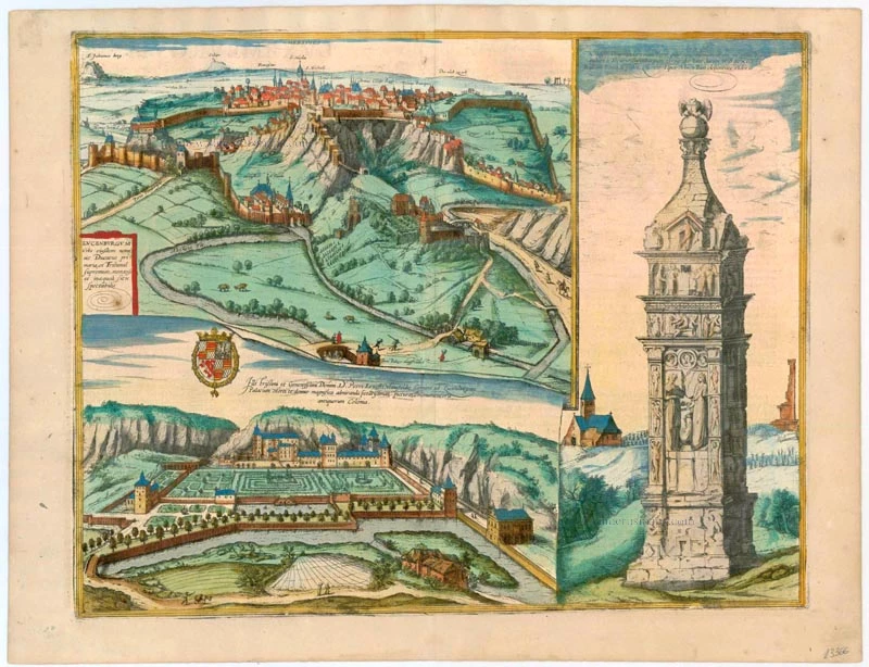


TRANSLATION OF CARTOUCHE TEXT: Luxembourg, capital with the supreme court of the Duchy of the same name, is worth seeing for its mountainous and uneven location.
COMMENTARY BY BRAUN: "In this city is a magnificent Franciscan monastery, whose foundation stone is supposed to have been laid during the time of St Francis. There is also another splendid monastery, which is generally called the minster. From this minster one gradually climbs up to the New Town. For the Old Town lies down below in a deep valley to the left of the cliff and is now considered to be the suburb. For as it was difficult to defend it was gradually found to be better to build the city higher up. ..."
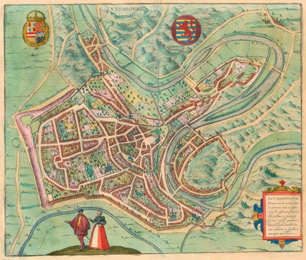
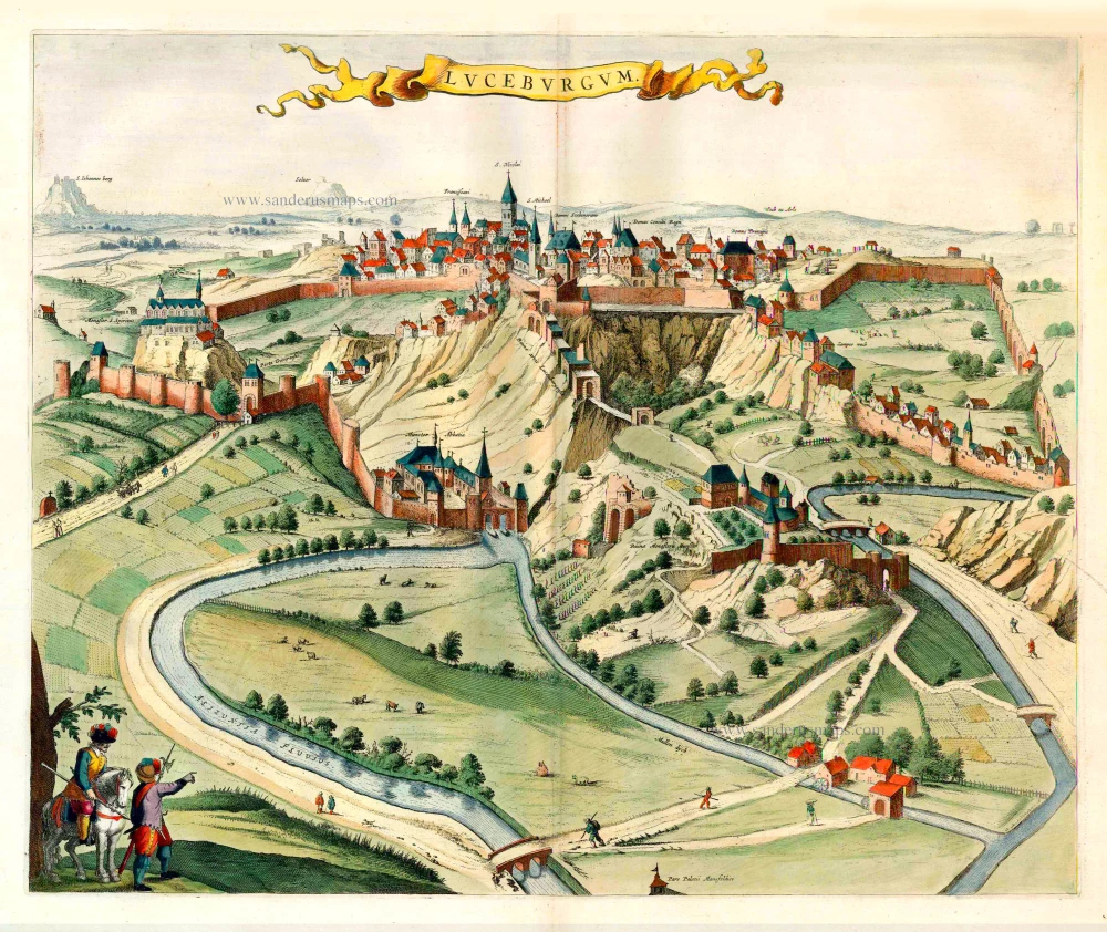
The present illustration shows the city in cavalier perspective from the east. The location of the Upper Town, perched on a rocky plateau high above the steep-sided Alzette Valley, is clearly portrayed. The tower appearing at the bottom of the top illustration forms part of the palace illustrated separately below, which today lies in the Luxembourg suburb of Clausen. Seen here from the east, the palace and its magnificent formal gardens were the residence of Peter Ernst I of Mansfeld, commander of the Spanish armies in the Netherlands from 1545 to 1604 and during this same period governor of Luxembourg, the Netherlands and Brussels. The caption in the picture emphasizes the magnificence of the palace interior: "... admirable for its outstanding paintings and antiquities".
IGEL COLUMN (IGELER SÄULE)
CAPTION: A monument in Igel famed for its venerable age, about one mile from Trier in the direction of Luxembourg, 12 feet wide at the base and 72 feet high. There is almost none lovelier this side of the Alps.
COMMENTARY BY BRAUN: "On the Moselle, in Igel, one mile from Trier in the direction of Luxembourg, is an old monument or tomb that is almost intact, such as is not often seen even in Italy, the homeland of antiquities."
The right-hand illustration shows the Igel column, a 23-m-high Roman funerary monument of red sandstone dating from the middle of the 3rd century AD. The column was erected by the Secundinii family of cloth merchants and its decorative reliefs include scenes from their daily lives. The column is the oldest monument of its kind north of the Alps and is today a UNESCO World Heritage Site. (Taschen)
Braun G. & Hogenberg F. and the Civitates Orbis Terrarum.
The Civitates Orbis Terrarum, also known as the 'Braun & Hogenberg', is a six-volume town atlas and the most excellent book of town views and plans ever published: 363 engravings, sometimes beautifully coloured. It was one of the best-selling works in the last quarter of the 16th century. Georg Braun, a skilled writer, wrote the text accompanying the plans and views on the verso. Many plates were engraved after the original drawings of a professional artist, Joris Hoefnagel (1542-1600). The first volume was published in Latin in 1572 and the sixth in 1617. Frans Hogenberg, a talented engraver, created the tables for volumes I through IV, and Simon van den Neuwel made those for volumes V and VI. Other contributors were cartographers Daniel Freese and Heinrich Rantzau, who provided valuable geographical information. Works by Jacob van Deventer, Sebastian Münster, and Johannes Stumpf were also used as references. Translations appeared in German and French, making the atlas accessible to a broader audience.
Since its original publication of volume 1 in 1572, the Civitates Orbis Terrarum has left an indelible mark on the history of cartography. Seven more editions followed the first volume in 1575, 1577, 1582, 1588, 1593, 1599, and 1612. Vol.2, initially released in 1575, saw subsequent editions in 1597 and 1612. The subsequent volumes, each a treasure trove of historical insights, graced the world in 1581, 1588, 1593, 1599, and 1606. The German translation of the first volume, a testament to its widespread appeal, debuted in 1574, followed by the French edition in 1575.
Several printers were involved: Theodor Graminaeus, Heinrich von Aich, Gottfried von Kempen, Johannis Sinniger, Bertram Buchholtz, and Peter von Brachel, all of whom worked in Cologne.
Georg Braun (1541-1622)
Georg Braun, the author of the text accompanying the plans and views in the Civitates Orbis Terrarum, was born in Cologne in 1541. After his studies in Cologne, he entered the Jesuit Order as a novice, indicating his commitment to learning and intellectual pursuits. In 1561, he obtained his bachelor's degree; in 1562, he received his Magister Artium, further demonstrating his academic achievements. Although he left the Jesuit Order, he continued his studies in theology, gaining a licentiate in theology. His theological background likely influenced the content and tone of the text in the Civitates Orbis Terrarum, adding a unique perspective to the work.
Frans Hogenberg (1535-1590)
Frans Hogenberg was a Flemish and German painter, engraver, and mapmaker. He was born in Mechelen as the son of Nicolaas Hogenberg.
By the end of the 1560s, Frans Hogenberg was employed upon Abraham Ortelius's Theatrum Orbis Terrarum, published in 1570; he is named an engraver of numerous maps. In 1568, he was banned from Antwerp by the Duke of Alva and travelled to London, where he stayed a few years before emigrating to Cologne. He immediately embarked on his two most important works, the Civitates, published in 1572 and the Geschichtsblätter, which appeared in several series from 1569 until about 1587.
Thanks to large-scale projects like the Geschichtsblätter and the Civitates, Hogenberg's social circumstances improved with each passing year. He died as a wealthy man in Cologne in 1590.
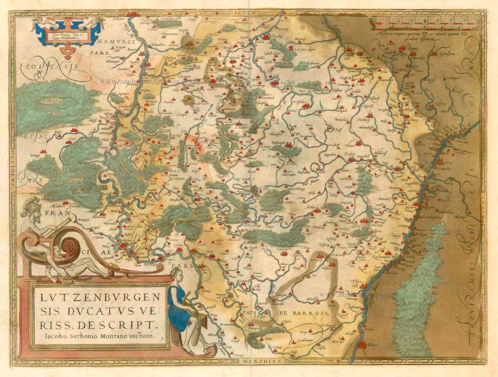
Lucenburgum Urbs eiusdem nominis Ducatus primaria et Tribunam supremum, montoso inaequali situ spectabilis.
Item Number: 23366 Authenticity Guarantee
Category: Antique maps > Europe > Luxembourg
Old, antique map of Luxembourg by Braun & Hogenberg.
Title: Lucenburgum Urbs eiusdem nominis Ducatus primaria et Tribunam supremum, montoso inaequali situ spectabilis.
Two bird-eye views + depiction of a stone column at right.
Date: 1596-1640.
Copper engraving, printed on paper.
Size (not including margins): 365 x 465mm (14.37 x 18.31 inches).
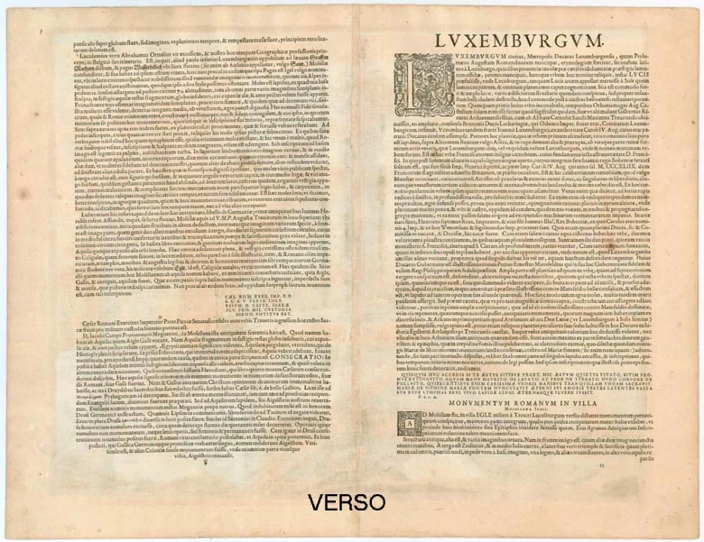
Verso: Latin text.
Condition: Small hole filled, else excellent, superb contemporary old colour.
Condition Rating: A.
From: Civitates Orbis Terrarum, ... Part 5. Köln, 1596-1640.
TRANSLATION OF CARTOUCHE TEXT: Luxembourg, capital with the supreme court of the Duchy of the same name, is worth seeing for its mountainous and uneven location.
COMMENTARY BY BRAUN: "In this city is a magnificent Franciscan monastery, whose foundation stone is supposed to have been laid during the time of St Francis. There is also another splendid monastery, which is generally called the minster. From this minster one gradually climbs up to the New Town. For the Old Town lies down below in a deep valley to the left of the cliff and is now considered to be the suburb. For as it was difficult to defend it was gradually found to be better to build the city higher up. ..."
The present illustration shows the city in cavalier perspective from the east. The location of the Upper Town, perched on a rocky plateau high above the steep-sided Alzette Valley, is clearly portrayed. The tower appearing at the bottom of the top illustration forms part of the palace illustrated separately below, which today lies in the Luxembourg suburb of Clausen. Seen here from the east, the palace and its magnificent formal gardens were the residence of Peter Ernst I of Mansfeld, commander of the Spanish armies in the Netherlands from 1545 to 1604 and during this same period governor of Luxembourg, the Netherlands and Brussels. The caption in the picture emphasizes the magnificence of the palace interior: "... admirable for its outstanding paintings and antiquities".
IGEL COLUMN (IGELER SÄULE)
CAPTION: A monument in Igel famed for its venerable age, about one mile from Trier in the direction of Luxembourg, 12 feet wide at the base and 72 feet high. There is almost none lovelier this side of the Alps.
COMMENTARY BY BRAUN: "On the Moselle, in Igel, one mile from Trier in the direction of Luxembourg, is an old monument or tomb that is almost intact, such as is not often seen even in Italy, the homeland of antiquities."
The right-hand illustration shows the Igel column, a 23-m-high Roman funerary monument of red sandstone dating from the middle of the 3rd century AD. The column was erected by the Secundinii family of cloth merchants and its decorative reliefs include scenes from their daily lives. The column is the oldest monument of its kind north of the Alps and is today a UNESCO World Heritage Site. (Taschen)
Braun G. & Hogenberg F. and the Civitates Orbis Terrarum.
The Civitates Orbis Terrarum, also known as the 'Braun & Hogenberg', is a six-volume town atlas and the most excellent book of town views and plans ever published: 363 engravings, sometimes beautifully coloured. It was one of the best-selling works in the last quarter of the 16th century. Georg Braun, a skilled writer, wrote the text accompanying the plans and views on the verso. Many plates were engraved after the original drawings of a professional artist, Joris Hoefnagel (1542-1600). The first volume was published in Latin in 1572 and the sixth in 1617. Frans Hogenberg, a talented engraver, created the tables for volumes I through IV, and Simon van den Neuwel made those for volumes V and VI. Other contributors were cartographers Daniel Freese and Heinrich Rantzau, who provided valuable geographical information. Works by Jacob van Deventer, Sebastian Münster, and Johannes Stumpf were also used as references. Translations appeared in German and French, making the atlas accessible to a broader audience.
Since its original publication of volume 1 in 1572, the Civitates Orbis Terrarum has left an indelible mark on the history of cartography. Seven more editions followed the first volume in 1575, 1577, 1582, 1588, 1593, 1599, and 1612. Vol.2, initially released in 1575, saw subsequent editions in 1597 and 1612. The subsequent volumes, each a treasure trove of historical insights, graced the world in 1581, 1588, 1593, 1599, and 1606. The German translation of the first volume, a testament to its widespread appeal, debuted in 1574, followed by the French edition in 1575.
Several printers were involved: Theodor Graminaeus, Heinrich von Aich, Gottfried von Kempen, Johannis Sinniger, Bertram Buchholtz, and Peter von Brachel, all of whom worked in Cologne.
Georg Braun (1541-1622)
Georg Braun, the author of the text accompanying the plans and views in the Civitates Orbis Terrarum, was born in Cologne in 1541. After his studies in Cologne, he entered the Jesuit Order as a novice, indicating his commitment to learning and intellectual pursuits. In 1561, he obtained his bachelor's degree; in 1562, he received his Magister Artium, further demonstrating his academic achievements. Although he left the Jesuit Order, he continued his studies in theology, gaining a licentiate in theology. His theological background likely influenced the content and tone of the text in the Civitates Orbis Terrarum, adding a unique perspective to the work.
Frans Hogenberg (1535-1590)
Frans Hogenberg was a Flemish and German painter, engraver, and mapmaker. He was born in Mechelen as the son of Nicolaas Hogenberg.
By the end of the 1560s, Frans Hogenberg was employed upon Abraham Ortelius's Theatrum Orbis Terrarum, published in 1570; he is named an engraver of numerous maps. In 1568, he was banned from Antwerp by the Duke of Alva and travelled to London, where he stayed a few years before emigrating to Cologne. He immediately embarked on his two most important works, the Civitates, published in 1572 and the Geschichtsblätter, which appeared in several series from 1569 until about 1587.
Thanks to large-scale projects like the Geschichtsblätter and the Civitates, Hogenberg's social circumstances improved with each passing year. He died as a wealthy man in Cologne in 1590.
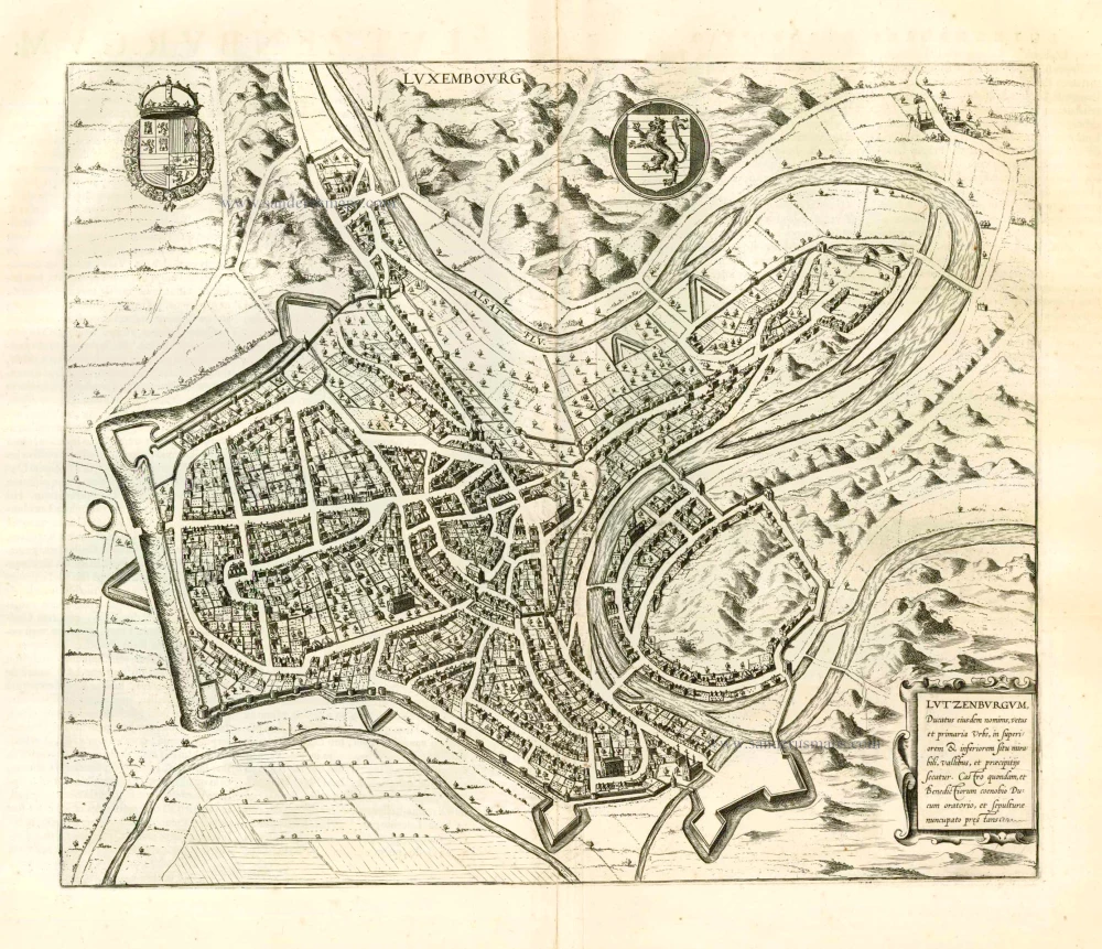
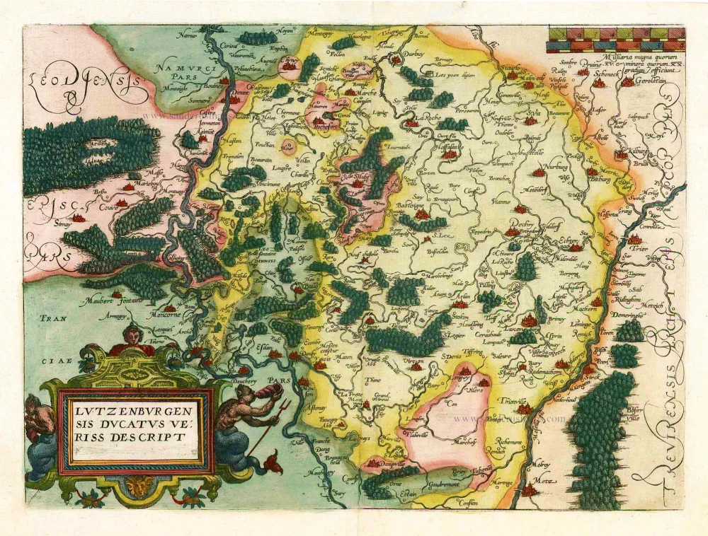
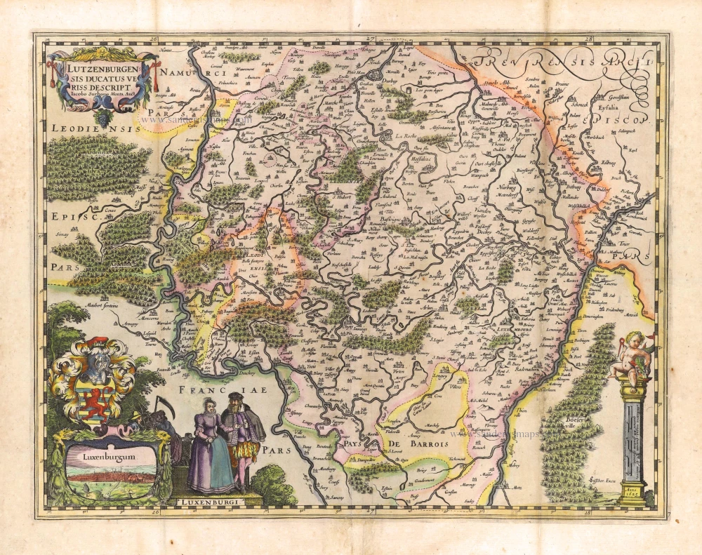
Related items
Luceburgum. 1649
Luxembourg, by Joan Blaeu.
[Item number: 105]
Luxembourg - Lutzenburgum, Ducatus eiusdem Nominis, Vetus et Primaria Urbs ... 1657
Luxembourg, by J. Janssonius.
[Item number: 9528]
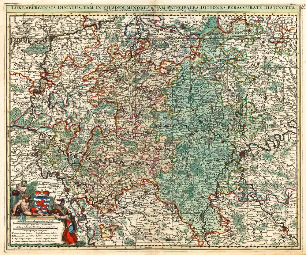
Luxemburgensis Ducatus, tam in ejusdem Minores, quam Principales, ... 1683-1696
Luxembourg, by N. Visscher II.
[Item number: 14831]
Ducatus Lutzenburgicus 1631
Luxembourg by Abraham Goos, published by Joannes Janssonius.
[Item number: 17712]
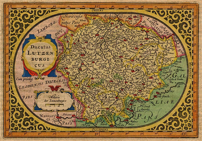
Lutzenburgensis Ducatus Veriss. Descript. 1579
Luxembourg, by A. Ortelius.
[Item number: 21720]
Lutzenburgensis Ducatus Veriss. Descript. 1598
Luxembourg, by A. Ortelius.
[Item number: 22910]
Luxembourg - Lutzenburgum, Ducatus eiusdem Nominis, Vetus et Primaria Urbs ... 1581-88
Luxembourg by Georg Braun & Frans Hogenberg
[Item number: 23308]

Trier & Lutzenburg 1623
Luxembourg and Trier, by Gerard Mercator.
[Item number: 24918]
Luceburgum. 1652
Luxembourg, by Joan Blaeu.
[Item number: 25510]
Lutzenburgu(m) Ducatus eiyusde(m) nominis, vetus et primaria urbis, ... 1609
Luxembourg, by L. Guicciardini.
[Item number: 26119]
Lutzenburgensis Ducatus Veriss Descript. 1581
Luxembourg, by Ludovico Guicciardini.
[Item number: 26805]
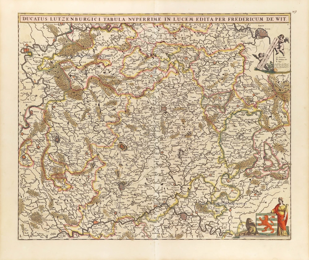
Ducatus Lutzenburgici Tabula Nuperrimi in Lucem Edita per Fredericum De Wit. ca. 1707-10
Luxembourg, by Frederick de Wit.
[Item number: 29006]
Lutzenburgensis Ducatus Veriss. Descript. 1634
Luxembourg by P. Kaerius (Van den Keere), published by C.J. Visscher.
[Item number: 29610]
Lutzenburg Ducatus. 1643
Luxembourg, by Willem and Joan Blaeu.
[Item number: 29932]
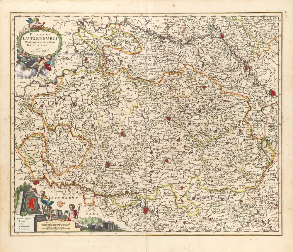
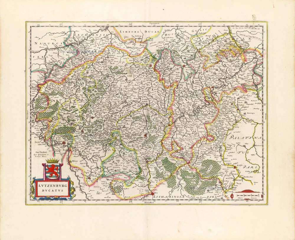
Ducatus Lutzenburgi Novissima et accuratissima delineatio, c. 1658
Luxembourg by Nicolaas Visscher I.
[Item number: 29979]
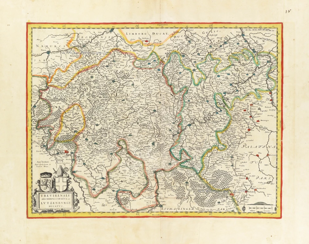
Trevirensis Archiepiscopatus, et Lutzenburgi Ducatus. c. 1630-1650
Trier - Luxembourg by Blaeu W. & J.
[Item number: 30845]
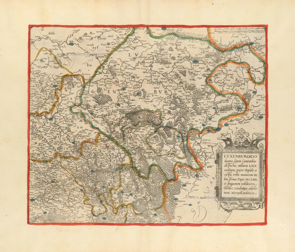
Luxenburgicus ducatus, septem Comitatibus distinctus, milliaria LXX continens, preter Oppida et castra, Urbes moeniorum ambitu firmas; Pagos M.C.LXIX, et frequentem nobilitatem exhibet, eiusdemque adpellatiorus Metropoli inclarescit. c. 1620-26
Luxembourg by Jean Leclerc.
[Item number: 30898]
Lutzenburgensis Ducatus Veriss. Descript. c. 1610-1650
Luxembourg by P. Kaerius (Van den Keere), published by C.J. Visscher.
[Item number: 30933]