
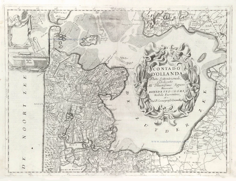
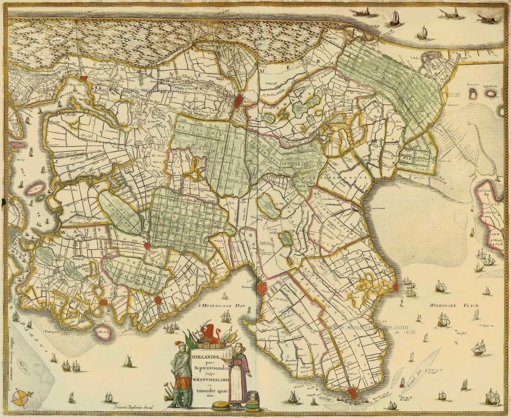
Northern Holland, by Vincenzo Coronelli. 1696
Vincenzo Coronelli (1650-1718)
Vincenzo Coronelli was born in Venice on 16 August 1650 and primarily brought up in Ravenna. He returned to Venice in 1665 and joined the convent of the Minor Conventuals. Five years later, he was sent to Rome to study, and by 1673, he was already a doctor of theology.
Having achieved fame by constructing two globes for the Duke of Parma, he was invited to Paris for three years in 1681 and made two enormous examples for Louis XIV. On his return to Venice, he assiduously collected cartographic material and founded the Academy of the Argonauts. In 1685, he was appointed Cosmographer to the Republic of Venice and authorised to publish a large atlas. He became a geography lecturer at the University of Venice and brought out an Atlante Veneto the following year.
In 1696, he visited Germany, Holland and southern England. During intervals in compiling his vast encyclopaedia, he continued with cartographic projects up to 1709. He died in his native Venice on 9 December 1718.
Coronelli became famous for his globes. In addition, he was a renowned encyclopaedist, mapmaker and geographer. Most of his maps and other material are gathered in his Atlante Veneto (13 vols, 1690-1705). The first volume, subtitled Descrizione generale istorica geografica, was his masterpiece, planned as an extension of Blaeu’s atlas.
Other volumes of the atlas which contain maps are Isolario, two parts (1696-8), with detailed maps and plans, mostly of islands; Corso geografico, two parts based on the edition 1694-7; Libro de’ globi (1697); and Lo Specchio del Mare, a reprint of Levanto's Lo Specchio del Mare Mediterraneo of 1664.
The other vital aspects of his mapping are those arising from the Venetian conquest and his travels. His most extensive military compilation was the Teatro della Guerra, in more than 30 volumes.
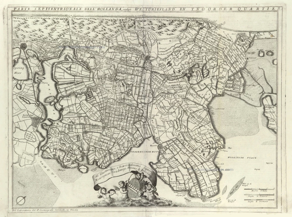
Contado d'Hollanda, Parte Settentrionale,
Item Number: 29433 Authenticity Guarantee
Category: Antique maps > Europe > The Netherlands
Old, antique map of Northern Holland, by Vincenzo Coronelli.
Title: Contado d'Hollanda, Parte Settentrionale,
Dedicato All' Illustrißimo Signore Avocato Benedetto Gori, Nobile Fiorentino, etc.
Dal P. Cosmografo Coronelli.
Date of the first edition: 1696.
Date of this map: 1696.
Copper engraving, printed on paper.
Map size: 450 x 600mm (17.72 x 23.62 inches).
Sheet size: 485 x 695mm (19.09 x 27.36 inches).
Verso: Italian text.
Condition: Excellent.
Condition Rating: A+.
From: Isolario Descrittione Geografico-Historica, Sacro-Profano, Antico-Moderna, Politica, Naturale e Poetica ... di Tutti l'Isole ... Tomo II dell'Atlante Veneto ... del P.Maestro Vincenzo Coronelli ... A'Spese dell'Autore MDCLXXXXVI. (Shirley (Brit.Lib), T.CORO-13a)
Vincenzo Coronelli (1650-1718)
Vincenzo Coronelli was born in Venice on 16 August 1650 and primarily brought up in Ravenna. He returned to Venice in 1665 and joined the convent of the Minor Conventuals. Five years later, he was sent to Rome to study, and by 1673, he was already a doctor of theology.
Having achieved fame by constructing two globes for the Duke of Parma, he was invited to Paris for three years in 1681 and made two enormous examples for Louis XIV. On his return to Venice, he assiduously collected cartographic material and founded the Academy of the Argonauts. In 1685, he was appointed Cosmographer to the Republic of Venice and authorised to publish a large atlas. He became a geography lecturer at the University of Venice and brought out an Atlante Veneto the following year.
In 1696, he visited Germany, Holland and southern England. During intervals in compiling his vast encyclopaedia, he continued with cartographic projects up to 1709. He died in his native Venice on 9 December 1718.
Coronelli became famous for his globes. In addition, he was a renowned encyclopaedist, mapmaker and geographer. Most of his maps and other material are gathered in his Atlante Veneto (13 vols, 1690-1705). The first volume, subtitled Descrizione generale istorica geografica, was his masterpiece, planned as an extension of Blaeu’s atlas.
Other volumes of the atlas which contain maps are Isolario, two parts (1696-8), with detailed maps and plans, mostly of islands; Corso geografico, two parts based on the edition 1694-7; Libro de’ globi (1697); and Lo Specchio del Mare, a reprint of Levanto's Lo Specchio del Mare Mediterraneo of 1664.
The other vital aspects of his mapping are those arising from the Venetian conquest and his travels. His most extensive military compilation was the Teatro della Guerra, in more than 30 volumes.
Related items
Strong impression. Important map.
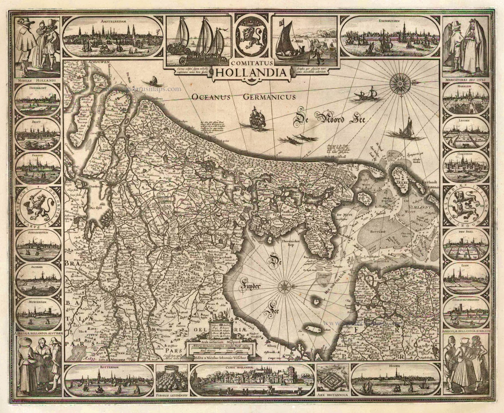
Comitatus Hollandia 1633
Holland by C.J. Visscher.
[Item number: 2748]
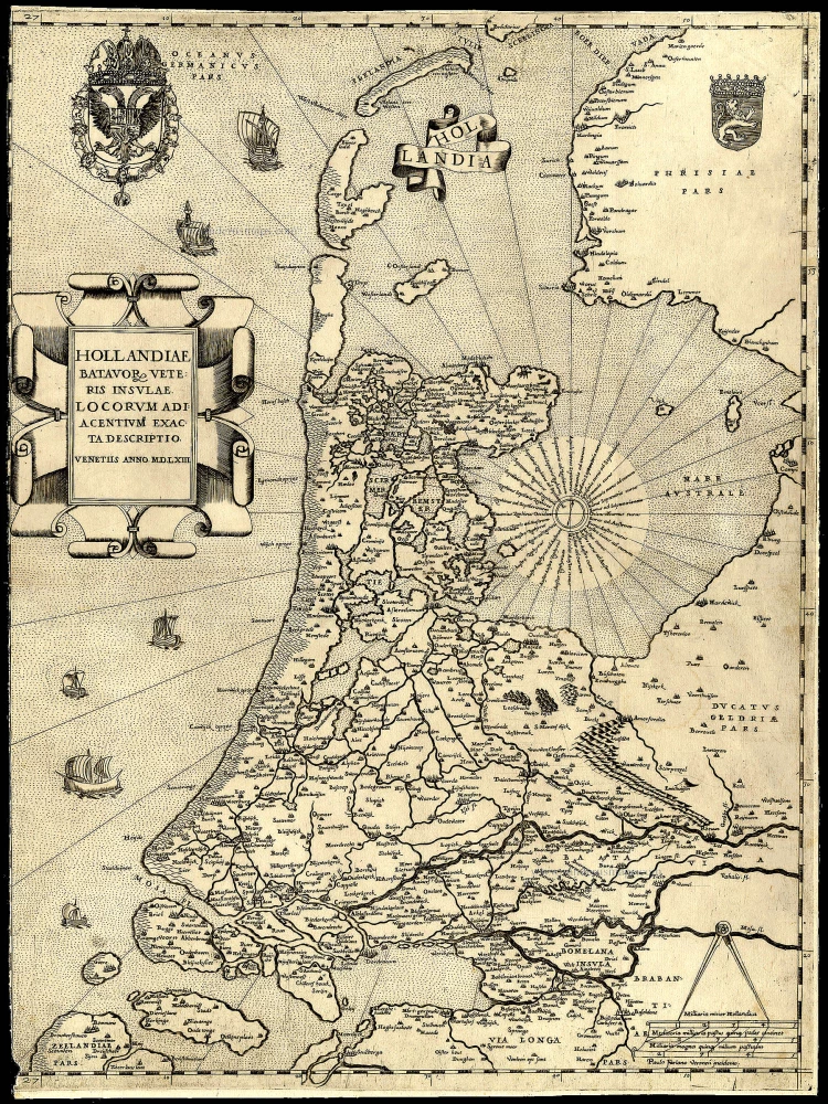
Rare and important map!
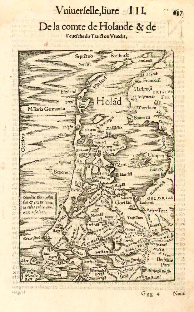
Hollandiae Batavor Veteris Insulae Locorum Adiacentium Exacta Descriptio. 1563
Holland, by Camocio G.F. - Forlani P.
[Item number: 9232]
[No title] c. 1670
Holland (North), by Frederick de Wit.
[Item number: 12547]
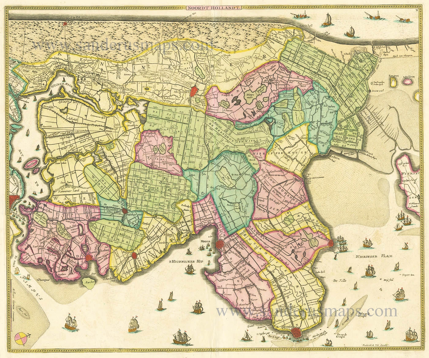
Hollandiae pars Septentrionalis, vulgo Westvriesland en 'tnoorder Quartier 1652-53
Holland (North) by Janssonius J. - Hondius H.
[Item number: 13205]
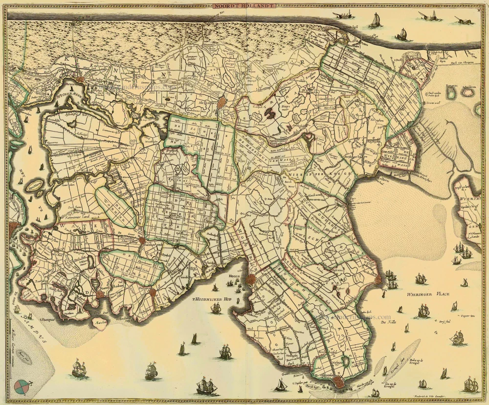
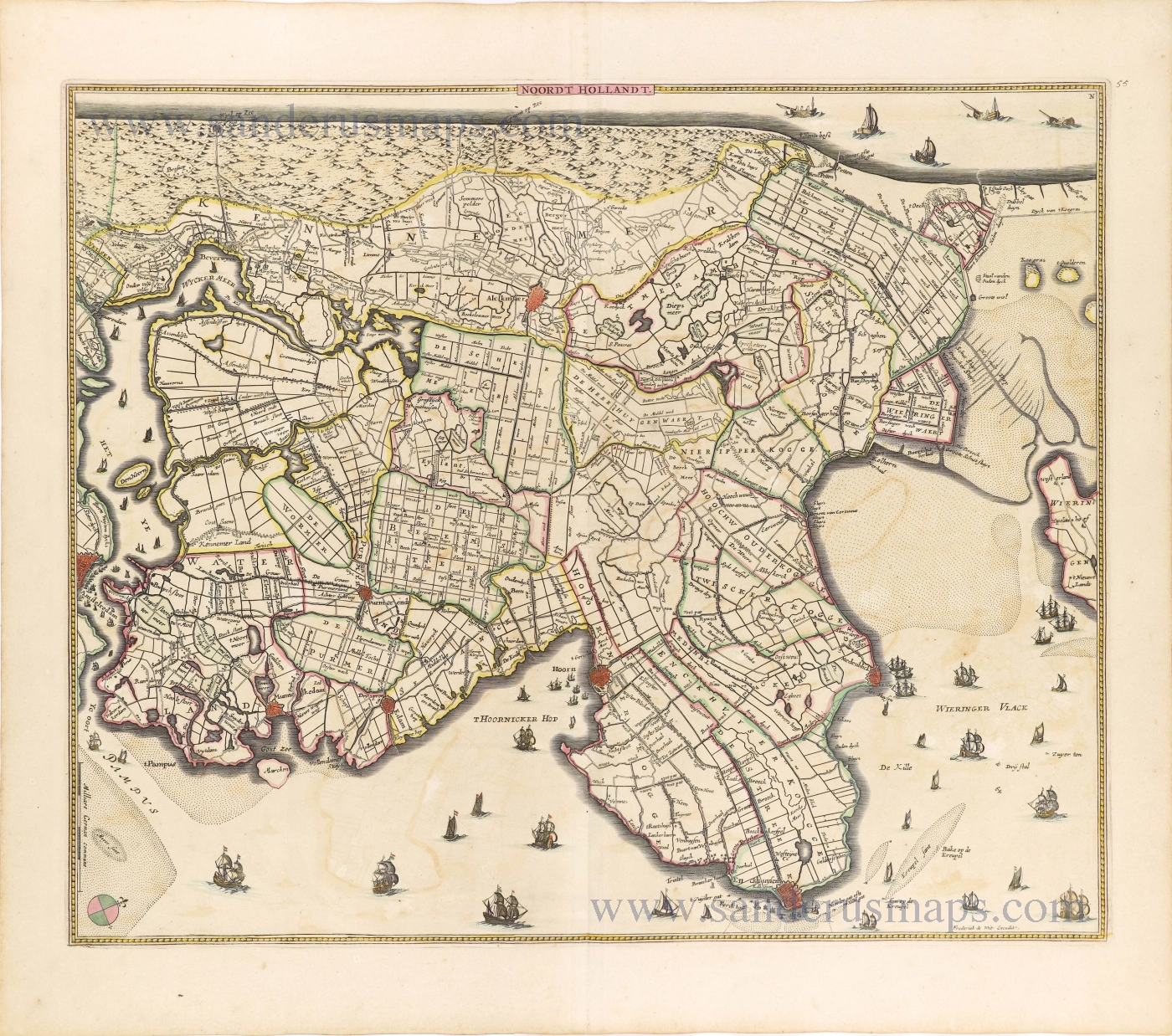
Noordt Hollandt c. 1680
Noord Holland by Frederick de Wit.
[Item number: 15663]
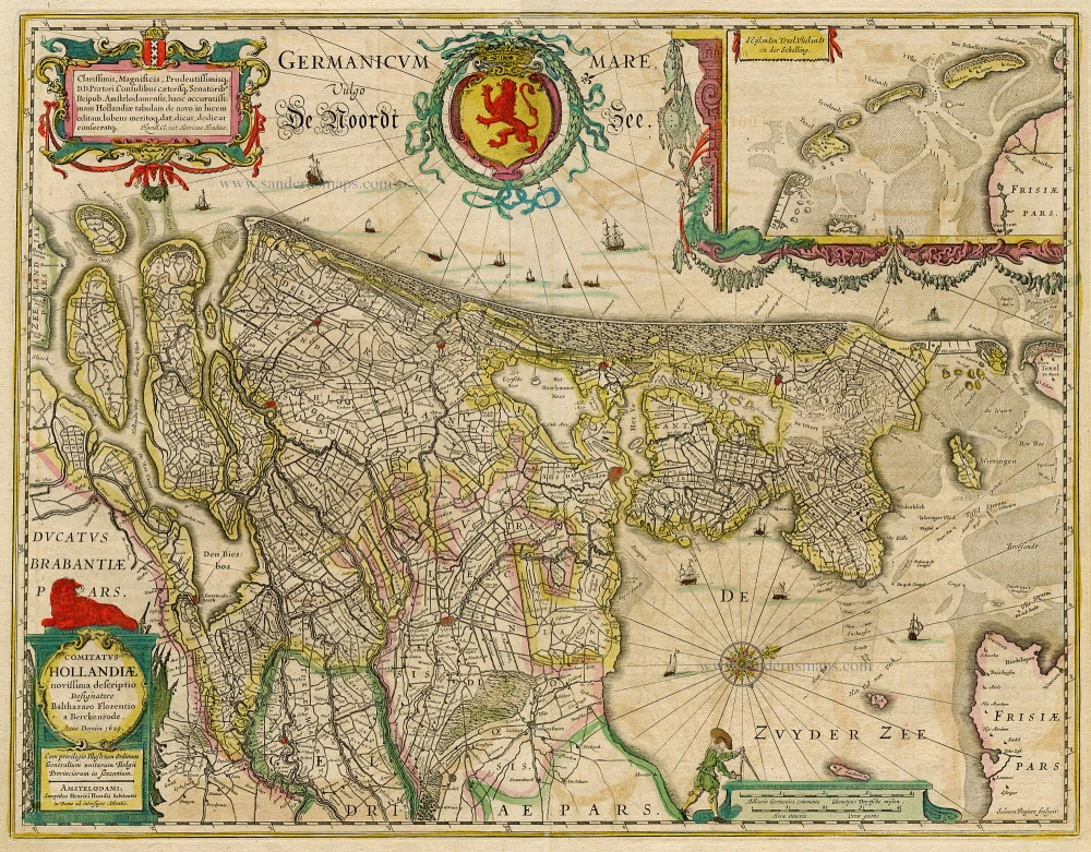
Comitatus Hollandiae novissima descriptio. 1638
Holland, by Janssonius J.
[Item number: 19020]
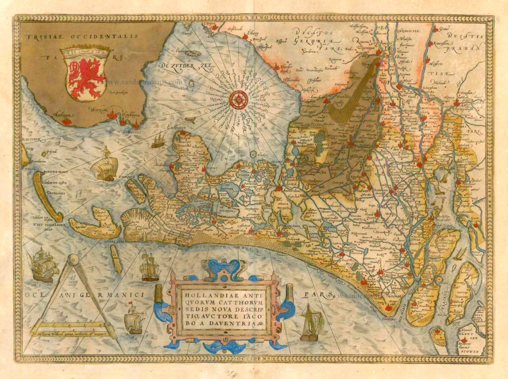
Hollandiae Antiquorum Catthorum Sedis Nova Descriptio. 1579
Holland by Ortelius A
[Item number: 22594]
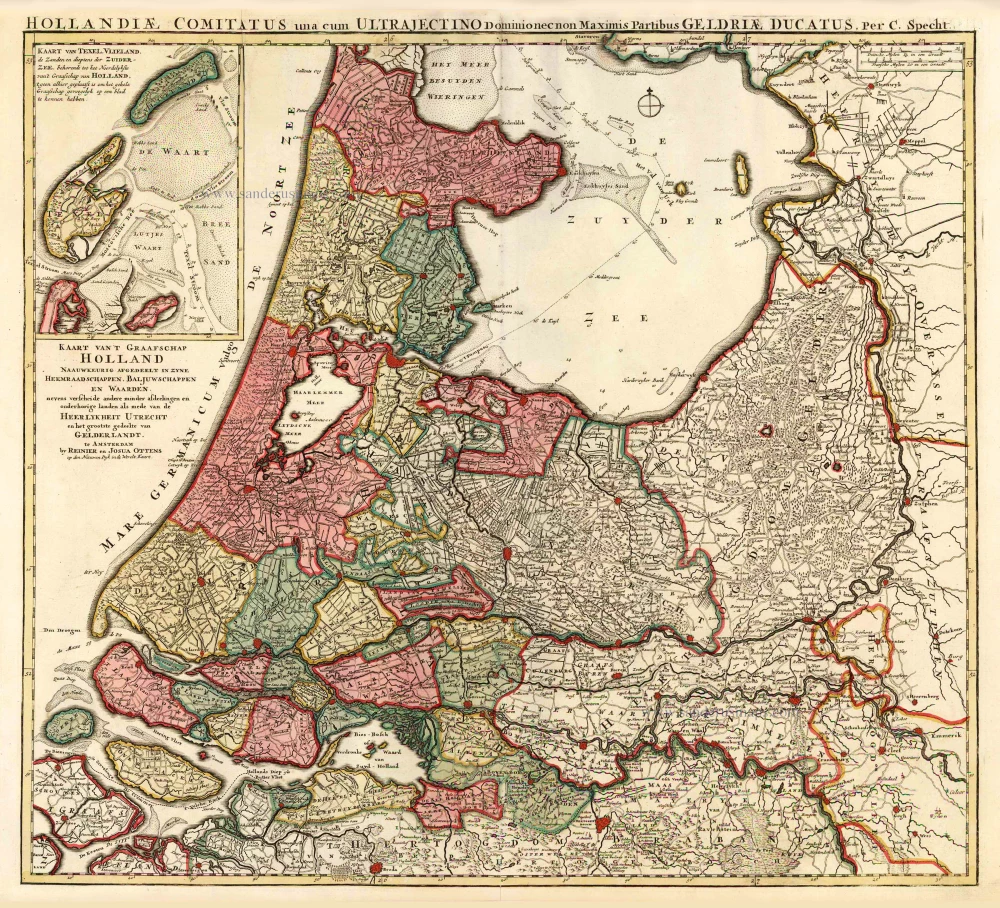
Kaart van 't Graafschap Holland Naauwkeurig Afgedeelt in zyne Heemraadschappen, Baljuwschappen en Waarden, 1730-45
Holland by C. Specht, published by R. & J. Ottens.
[Item number: 25706]
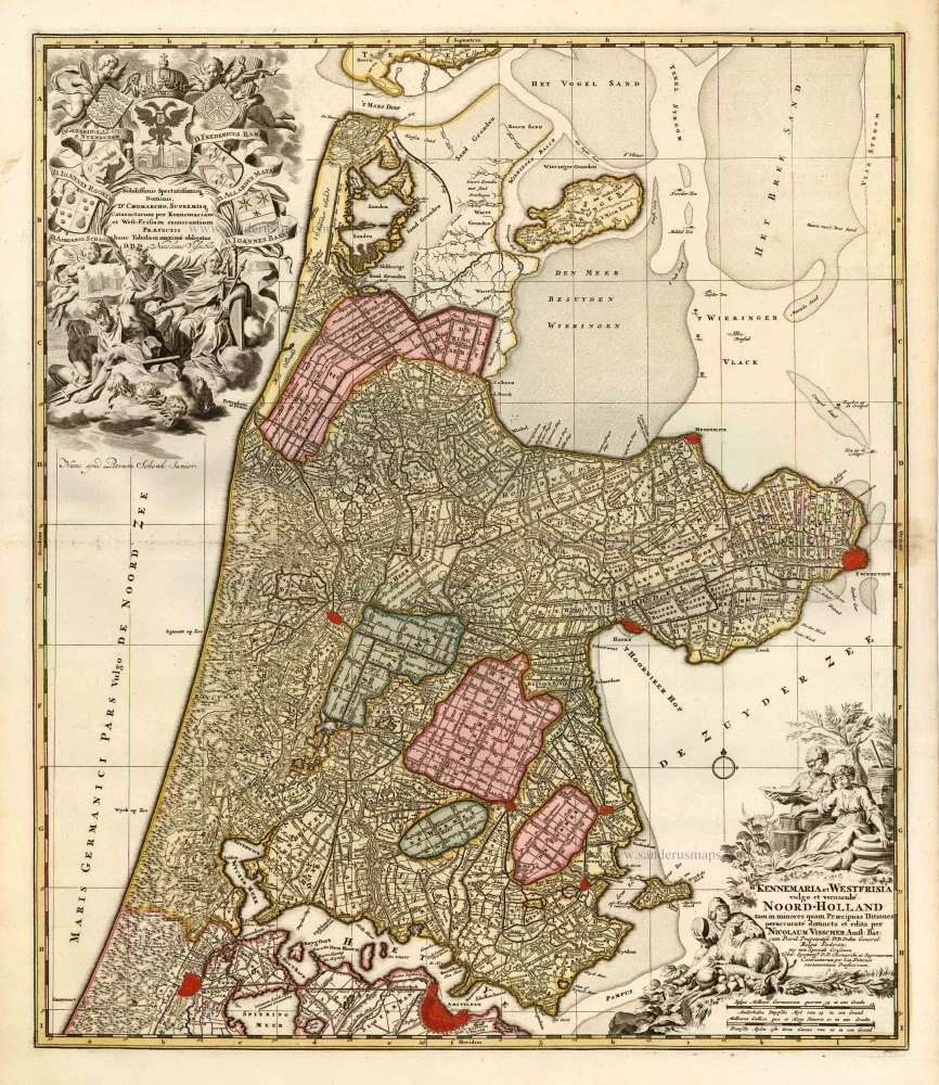
Kennemaria et Westfrisia vulgo et vernaculé Noord-Holland. c. 1700
Noord Holland by Nicolaas Visscher I, published by Petrus Schenk.
[Item number: 25707]
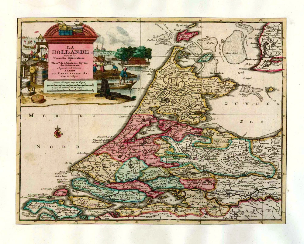
La Hollande. 1713
Holland by Pieter Van der Aa.
[Item number: 26059]
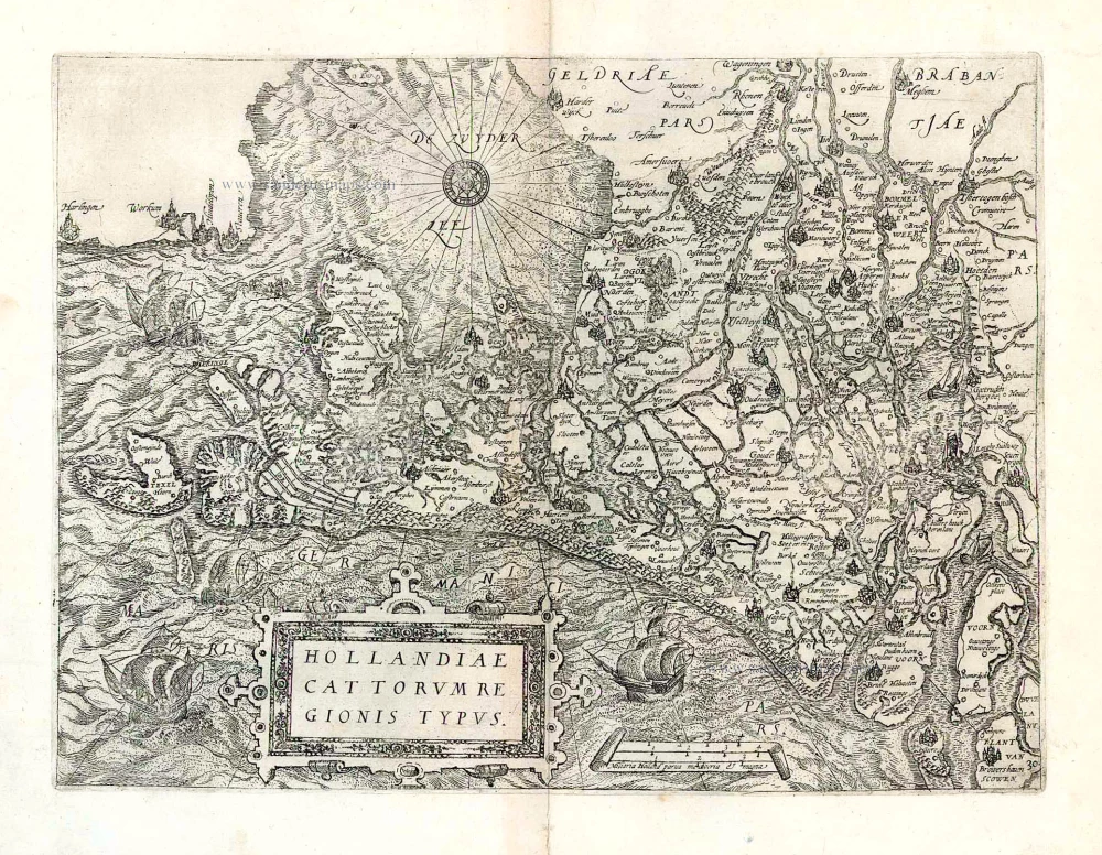
Hollandiae Cattorum Regionis Typus. 1588
Holland, by Lodovico Guicciardini.
[Item number: 26656]
Very early Holland map.
Hola(n)d. 1552
Holland by Sebastian Münster.
[Item number: 27467]
Big and spectacular map
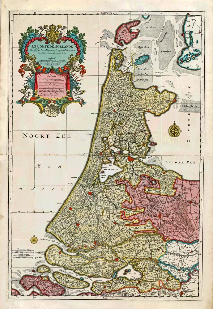
Le Comté de Hollande. c. 1705
Holland, by Pieter Mortier.
[Item number: 27807]
Noordt Hollandt. c. 1656
Noord Holland by Frederick de Wit.
[Item number: 28613]
new
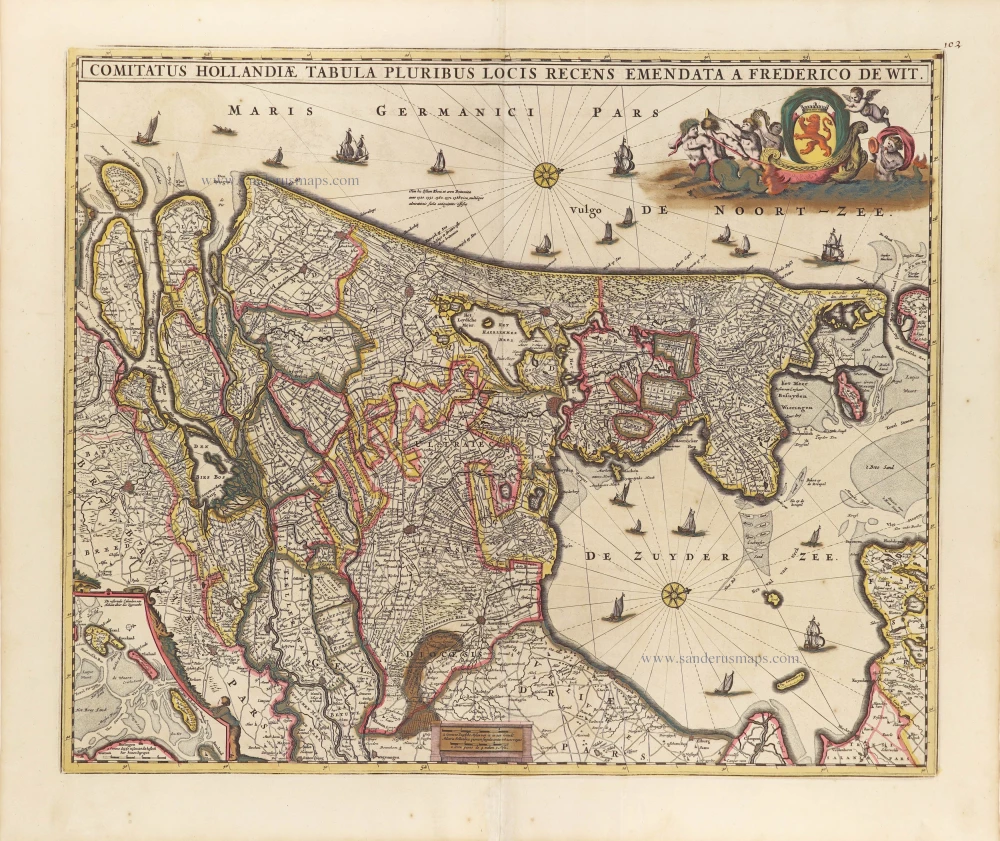
Comitatus Hollandiae Tabula Pluribus Locis Recens Emendata A Frederico De Wit. c. 1705
Holland, by Frederick de Wit.
[Item number: 29011]
Parte Septentrionale del'Hollanda, vulgo Westuriesland en Tnoorder Quartier. 1696
Northern Holland, by Vincenzo Coronelli.
[Item number: 29432]