
VII Provinces by Ottens R. & I. After 1726
Caspar Specht worked in Utrecht from 1684 to 1708 as a draftsman, engraver and publisher. He has not published an atlas himself.
The Ottens Family
Joachim Ottens (1663-1719), was a copper-engraver and the founder of the print- and mapsellers’ firm in Amsterdam. In 1710 he became a member of the art- and printsellers guild. After he died in 1719, his widow and the sons continued the business under the name “In de Wereldcaert” (In the world map). On the whole, the Ottens’s financial position was rather weak, and the stock was not very large.
In a notary contract dated 20 October 1726, the partnership between the two brothers, Reinier and Josua, was stipulated. Despite separate shops, the brothers’ partnership continued until the death of Renier in 1750.
After Joshua died in 1765, his widow continued the firm, together with her son, Renier II, until c. 1780.
The firm flourished mainly between 1719 and c. 1750. In that period, they advertised at various times the publication of new maps.
Ottens’s greatest fame comes from the voluminous atlases assembled to order. A small number of these so-called ‘Atlas factice’, splendid copies with gorgeous illumination, have survived. These collector’s copies are known to exist in 2, 6, 8, 11, and even 15 volumes. Ottens also published atlases in one volume, with a varying number of maps, pocket atlases, collections of military plans, and Renard’s atlas de la navigation.
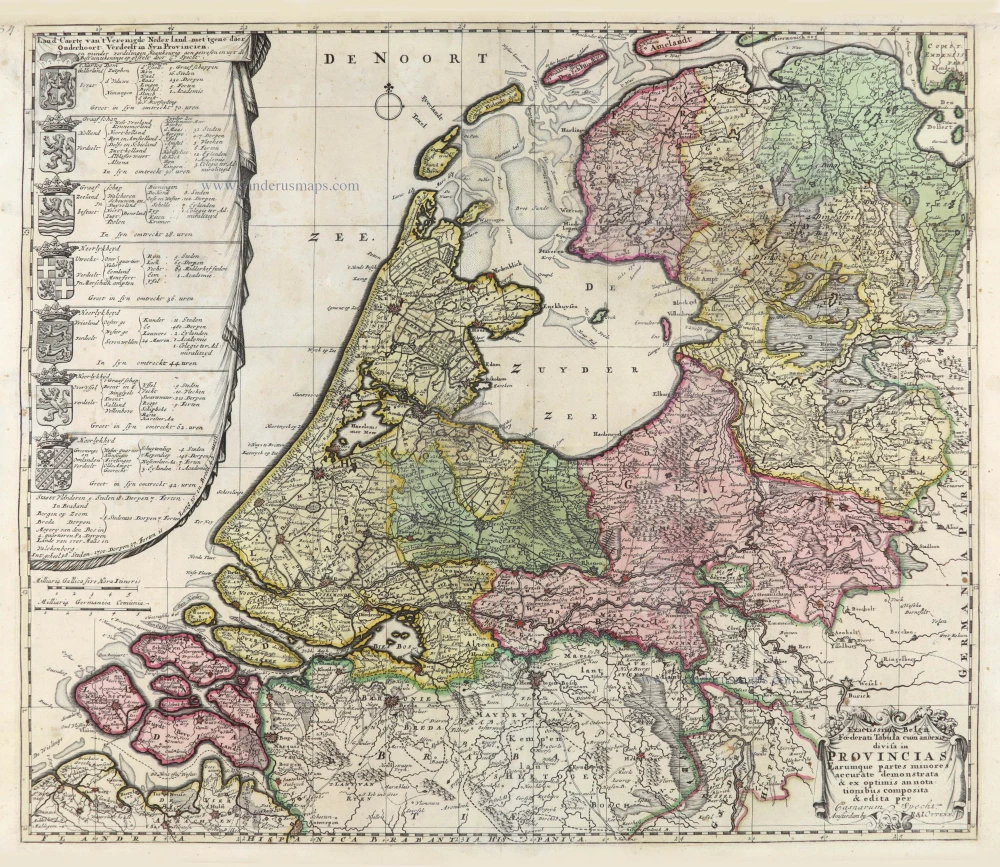
Exactissima Belgii Foederati Tabula cum annexis divisa in Provincias, Earumque partes minores accurate demonstrata & ex optimis annotationibus composita & edita per Casparum Specht.
Item Number: 28005 Authenticity Guarantee
Category: Antique maps > Europe > The Netherlands
Old, antique map of the VII Provinces, by Ottens R. & I.
Title: Exactissima Belgii Foederati Tabula cum annexis divisa in Provincias, Earumque partes minores accurate demonstrata & ex optimis annotationibus composita & edita per Casparum Specht.
te Amsterdam by R. & I. Ottens.
Cartographer: Caspar Specht.
Date of the first edition: 1702.
Date of this map: After 1726.
Copper engraving, printed on paper.
Size (not including margins): 510 x 600mm (20.08 x 23.62 inches).
Verso: Blank.
Condition: Original coloured, excellent.
Condition Rating: A+.
References: Van der Heijden-Blonk, #52 State 3.
From: Atlas sive Geographia compendiosa in qua Orbis Terrarum pacis attamen novissimis Tabulis Ostenditur. - Atlas Nouveau, contenant toutes les partis du monde ... R. & I. Ottens, 1730-45. (Composite Atlas).
Caspar Specht worked in Utrecht from 1684 to 1708 as a draftsman, engraver and publisher. He has not published an atlas himself.
The Ottens Family
Joachim Ottens (1663-1719), was a copper-engraver and the founder of the print- and mapsellers’ firm in Amsterdam. In 1710 he became a member of the art- and printsellers guild. After he died in 1719, his widow and the sons continued the business under the name “In de Wereldcaert” (In the world map). On the whole, the Ottens’s financial position was rather weak, and the stock was not very large.
In a notary contract dated 20 October 1726, the partnership between the two brothers, Reinier and Josua, was stipulated. Despite separate shops, the brothers’ partnership continued until the death of Renier in 1750.
After Joshua died in 1765, his widow continued the firm, together with her son, Renier II, until c. 1780.
The firm flourished mainly between 1719 and c. 1750. In that period, they advertised at various times the publication of new maps.
Ottens’s greatest fame comes from the voluminous atlases assembled to order. A small number of these so-called ‘Atlas factice’, splendid copies with gorgeous illumination, have survived. These collector’s copies are known to exist in 2, 6, 8, 11, and even 15 volumes. Ottens also published atlases in one volume, with a varying number of maps, pocket atlases, collections of military plans, and Renard’s atlas de la navigation.
Related items
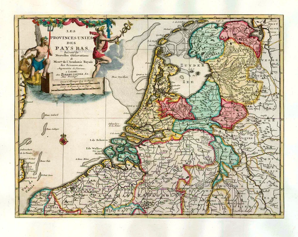
Les Provinces Unies des Pays-Bas. 1713
The VII Provinces, by Pieter Van der Aa.
[Item number: 26060]
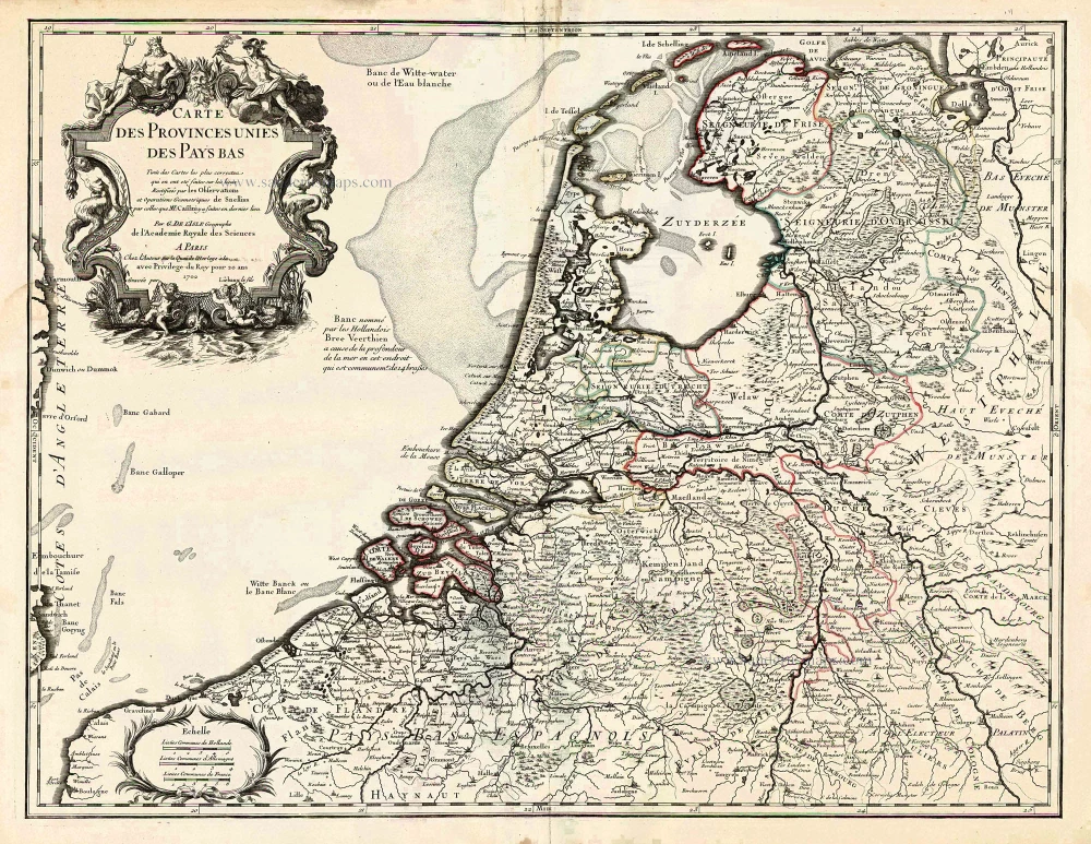
Carte des Provinces Unies des Pays Bas. c. 1702
VII Provinces by G. Delisle
[Item number: 26214]

Belgium Foederatum. 1658-80
Republic of the VII Provinces, by Nicolaes Visscher I.
[Item number: 28589]

Provinces-Unies des Pays-Bas avec leurs Acquisitions dans la Flandre, le Brabant, le Limbourg et le Lyege et les Places qu'elles possedoient sur le Rhein, dans le Duché de Clevesn et dans l'Archevesché et eslectorat de Cologne. 1692
VII Provinces by N. Sanson, so-called published by Hubert Jaillot. (Pirated edition by Pierre Mortier).
[Item number: 31716]