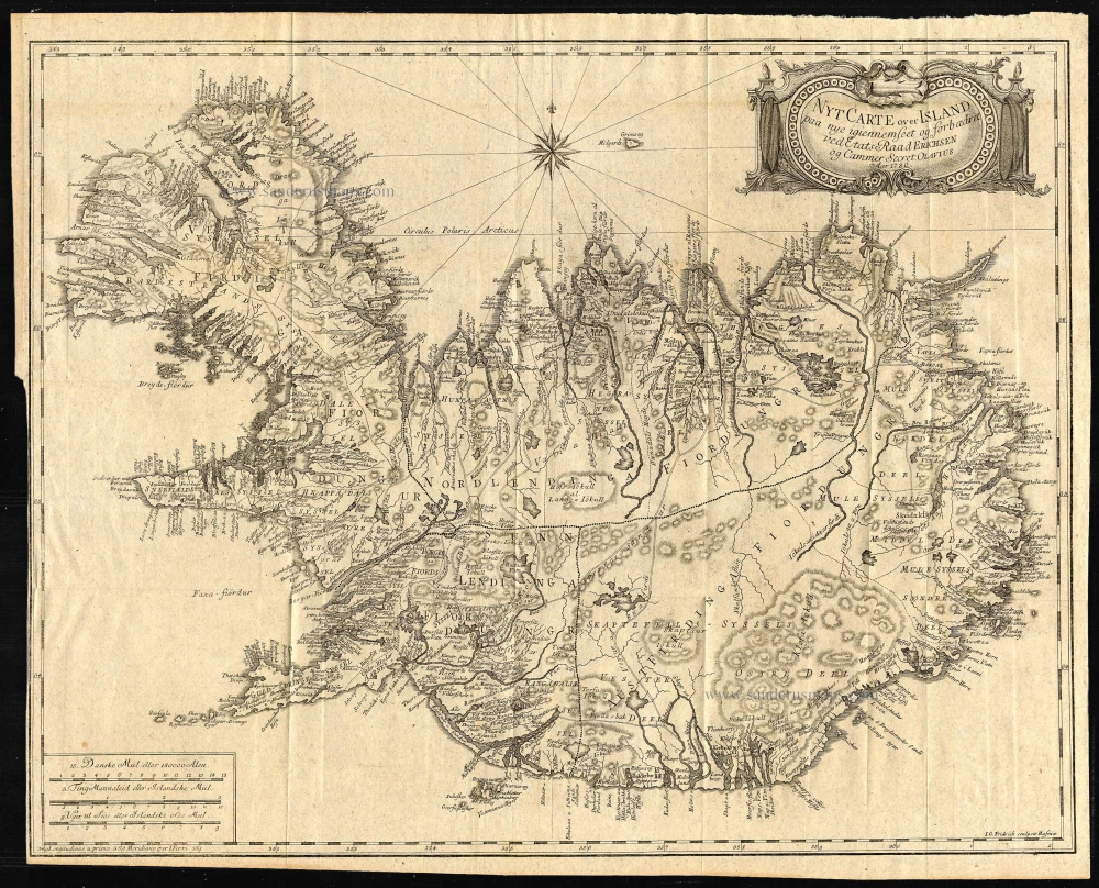
Antique map of Iceland by Eriksson 1780
Nyt Carte over Island.
Item Number: 5368 Authenticity Guarantee
Category: Antique maps > Europe > Northern Europe
Antique map of Iceland by Eriksson
Copper engraving
Size: 44 x 57cm (17.2 x 22.2 inches)
Condition: Excellent.
Condition Rating: A
In 1776 the Danes initiated a scientific expedition to Iceland, with a view to exploring especially the conditions for fishing and harbour-building. Ólafur Olavius was chosen for the trip. He travelled all over the country for three summers and wrote a book containing his observations. The book was called Oeconomisk Reise igiennem Island and it was accompanied by a new map of Iceland. (Source: The Knoffs Maps)


