
Sweden, Finland, part of Norway, and the Baltics, by Zacharias Châtelain. 1714
The Châtelain Family
Zacharias Châtelain (1684-1743) was a bookseller and publisher of Amsterdam. He was succeeded by his sons Zacharias jr and Henry Abraham. The Châtelain family was best known for the historical atlas Atlas Historique, ou nouvelle introduction à l’histoire…, a major work of its time. It was an encyclopaedia in seven volumes, including geography as one of its main subjects. The atlas was published in Amsterdam in seven volumes in various editions with different imprints from 1705 to 1739. An anonym person (Mr. C***) compiled the work with compositions of text, maps, plates and chronological and genealogical tables by Gueudeville, except volume 7, where H.P. Limiers took over this task. The maps were made mainly after the work of Guillaume de l'Isle.
The 1705 edition was published with the imprint “L’Honoré & Châtelain”. Later editions had the imprint: “les Frères Châtelain Libraires” or “L’Honoré & Châtelain Libraires”.
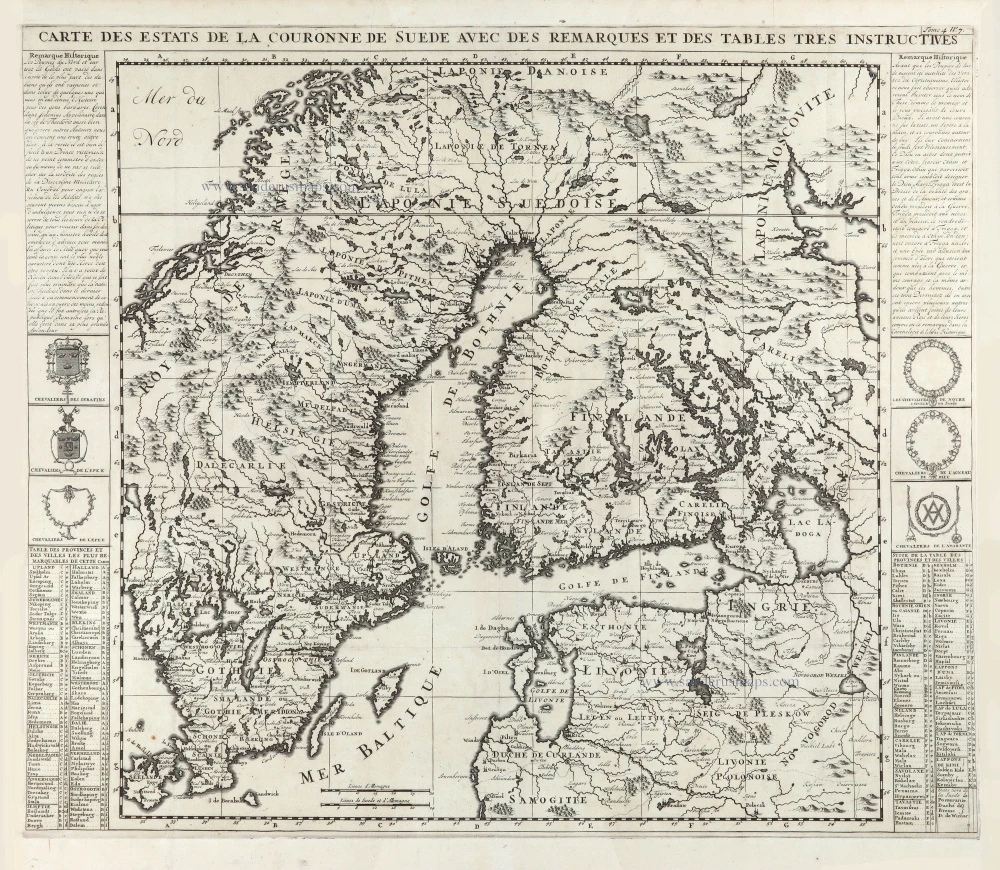
Carte des Estats de la Couronne de Suede avec des Remarques et des Tables Tres Instructives.
Item Number: 29429 Authenticity Guarantee
Category: Antique maps > Europe > Northern Europe
Old, antique map of Sweden, Finland, part of Norway, and the Baltics, by Zacharias Châtelain.
Title: Carte des Estats de la Couronne de Suede avec des Remarques et des Tables Tres Instructives.
Tome 4. N° 7.
Date of the first edition: 1714.
Date of this map: 1714.
Copper engraving, printed on paper.
Map size: 505 x 580mm (19.88 x 22.83 inches).
Sheet size: 500 x 590mm (19.69 x 23.23 inches).
Verso: Blank.
Condition: Folds as issued, excellent.
Condition Rating: A+.
From: Châtelain Z. Atlas Historique, ou Nouvelle Introduction A l'Histoire, à la Chronologie & à la Geographie Ancienne & Moderne; ... Tome IV. Qui comprend le Danemarck, la Suède, la Pologne, la Moscovie, la Turquie, etc. A Amsterdam, Chez les Frères Châtelain Libraires, M.DCC.XIV. (1714). (Koeman II, p. 36, Cha5)
The Châtelain Family
Zacharias Châtelain (1684-1743) was a bookseller and publisher of Amsterdam. He was succeeded by his sons Zacharias jr and Henry Abraham. The Châtelain family was best known for the historical atlas Atlas Historique, ou nouvelle introduction à l’histoire…, a major work of its time. It was an encyclopaedia in seven volumes, including geography as one of its main subjects. The atlas was published in Amsterdam in seven volumes in various editions with different imprints from 1705 to 1739. An anonym person (Mr. C***) compiled the work with compositions of text, maps, plates and chronological and genealogical tables by Gueudeville, except volume 7, where H.P. Limiers took over this task. The maps were made mainly after the work of Guillaume de l'Isle.
The 1705 edition was published with the imprint “L’Honoré & Châtelain”. Later editions had the imprint: “les Frères Châtelain Libraires” or “L’Honoré & Châtelain Libraires”.
Related items
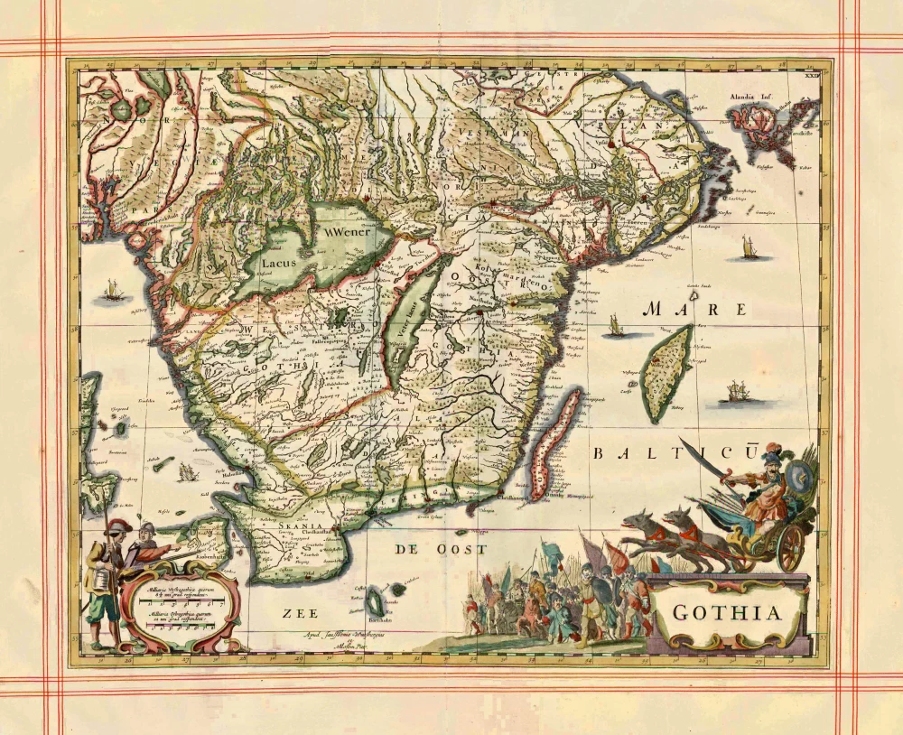
Gothia 1680
Sweden - Götaland, by J. Janssonius, published by Pitt Moses & J. Janssonius-Waesberge.
[Item number: 1290]
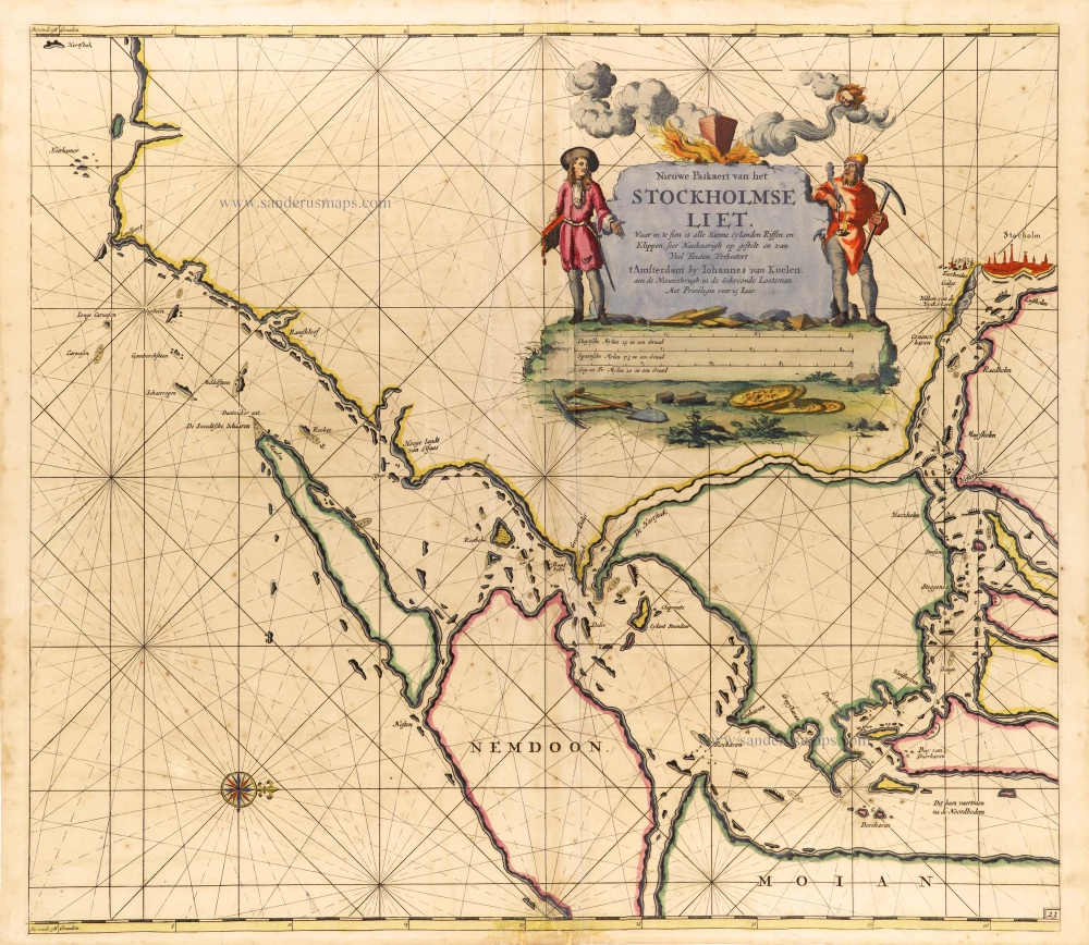
Nieuwe Paskaert van het Stockholmse Liet 1697-1709
Sweden - Stockholm, by Johannes Van Keulen.
[Item number: 12460]

Caarte van 't gat van Abbo, ofte Uttoy. [on sheet with] Caarte van 't Stochomse Liet. 1686
Sea chart of Finland - Sweden, by Doncker H.
[Item number: 14593]
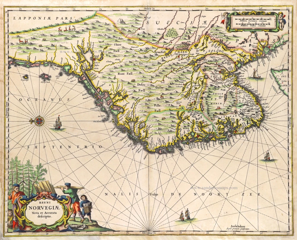
Regni Norvegiae. 1666
Norway by Joannes Janssonius.
[Item number: 29724]

First printed map of Finland.
Magnus Ducatus Finlandiae. 1659
Finland by Joan Blaeu.
[Item number: 30242]
Rare
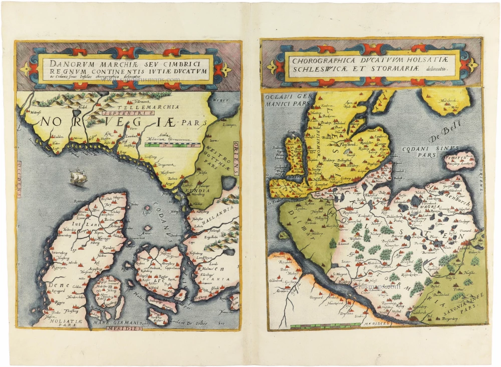
Danorum Marchiae seu Cimbrici Regnum Continentis Iutiae Ducatum [on sheet with] Chorographica Ducatum Holstatiae Schleswicae et Stormariae 1593
Norway - Denmark by Gerard de Jode
[Item number: 30947]