
Very rare!
Portugal by J. de Ram, published by F. De Wit. c. 1690

Johannes de Ram (1648-1693)
Johannes de Ram was an Amsterdam engraver, publisher, globe maker, and art dealer. He issued atlases with maps by various geographers and produced some maps himself. De Ram seems to have played a particular role in transferring copperplates originating from the Blaeu's.
Frederick de Wit (1630-1706)
The engraver and map-seller, Frederick de Wit, was born in Gouda (Netherlands) in 1630 as a son of Hendrick Fredericksz de Wit. Through his marriage with Maria van der Waag of Amsterdam in 1661, he obtained citizenship of the city where he had been working since 1648 and where he became one of the most famous engravers of maps of the second half of the 17th century. Although De Wit was a Catholic, which meant that he was not favoured at the time by the city council, he was awarded the honour of being listed as one of the "excellent citizens" on the roll of the city council in the years 1694-1704. However, his name was not written in the Guild of St. Luke book before 1664. At that time, he lived on the Kalverstraat "in de Witte Pascaert", where he stayed until his death in 1706. His earliest dates on maps engraved are 1659 (Regni Daniae) and 1660 (World map).
Frederick de Wit published several world atlases, a sea atlas, and an atlas of the Netherlands.
The dating of the maps is difficult. However, as a privilege was granted in 1689, the annotation 'cum privilegio' marks an edition after 1688.
Around 1700, Frederick de Wit entered the market with a town atlas. He produced two volumes with a total of 260 plans and views. Most were printed from plates used for Janssonius and Blaeu town atlases.
After he died in 1706, his widow continued the shop until 1709. The plates and stock of De Wit's atlas were sold to Covens & Mortier in 1710, who sold the atlas for an extended period.
Nova Regni Portugalliae et Algarbiae Descriptio ...
Item Number: 13745 Authenticity Guarantee
Category: Antique maps > Europe > Spain and Portugal
Old, antique map of Portugal by J. de Ram, published by F. De Wit.
Title: Nova Regni Portugalliae et Algarbiae Descriptio ...
Date: c. 1690.
Copper engraving, printed on paper.
Size (not including margins): 500 x 595mm (19.69 x 23.43 inches).
Verso: Blank.
Condition: Old coloured, excellent.
Condition Rating: A.
From: Dutch Composite Atlas, c. 1690.
Johannes de Ram (1648-1693)
Johannes de Ram was an Amsterdam engraver, publisher, globe maker, and art dealer. He issued atlases with maps by various geographers and produced some maps himself. De Ram seems to have played a particular role in transferring copperplates originating from the Blaeu's.
Frederick de Wit (1630-1706)
The engraver and map-seller, Frederick de Wit, was born in Gouda (Netherlands) in 1630 as a son of Hendrick Fredericksz de Wit. Through his marriage with Maria van der Waag of Amsterdam in 1661, he obtained citizenship of the city where he had been working since 1648 and where he became one of the most famous engravers of maps of the second half of the 17th century. Although De Wit was a Catholic, which meant that he was not favoured at the time by the city council, he was awarded the honour of being listed as one of the "excellent citizens" on the roll of the city council in the years 1694-1704. However, his name was not written in the Guild of St. Luke book before 1664. At that time, he lived on the Kalverstraat "in de Witte Pascaert", where he stayed until his death in 1706. His earliest dates on maps engraved are 1659 (Regni Daniae) and 1660 (World map).
Frederick de Wit published several world atlases, a sea atlas, and an atlas of the Netherlands.
The dating of the maps is difficult. However, as a privilege was granted in 1689, the annotation 'cum privilegio' marks an edition after 1688.
Around 1700, Frederick de Wit entered the market with a town atlas. He produced two volumes with a total of 260 plans and views. Most were printed from plates used for Janssonius and Blaeu town atlases.
After he died in 1706, his widow continued the shop until 1709. The plates and stock of De Wit's atlas were sold to Covens & Mortier in 1710, who sold the atlas for an extended period.
Related items

Regni Hispaniae Post Omnium Editiones Locuplessima Descriptio. 1598
Iberian Peninsula (Portugal & Spain), by Abraham Ortelius.
[Item number: 2568]
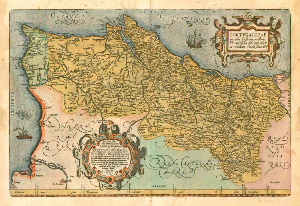
Portugalliae que olim Lusitania, novissima & exactissima descriptio, ... 1601
Portugal by A. Ortelius.
[Item number: 5729]

Hispania III Nova Tabula. 1542
Iberian Peninsula (Spain & Portugal), by Sebastian Münster.
[Item number: 14923]

Portugalliae que olim Lusitania, novissima & exactissima descriptio, ... 1598
Portugal, by Abraham Ortelius.
[Item number: 22917]

Le Royaume de Portugal et des Algarves ... 1710
Portugal, by Sanson - Covens & Mortier.
[Item number: 23699]

Partie Septentrionale du Royaume de Portugal. 1776-79
Northern Portugal, by Francesco Santini.
[Item number: 26951]

Partie Méridional du Royaume de Portugal. 1776-79
Southern Portugal, by Francesco Santini.
[Item number: 26952]

Portugallia et Algarbia quae olim Lusitania. 1638
Portugal by Matthäus Merian
[Item number: 27797]

Rare
Nieuwe Perfecte Caert van 't Coningrijk Poortugael en Algarve. 1656-80
Portugal by Justus Danckerts.
[Item number: 28603]
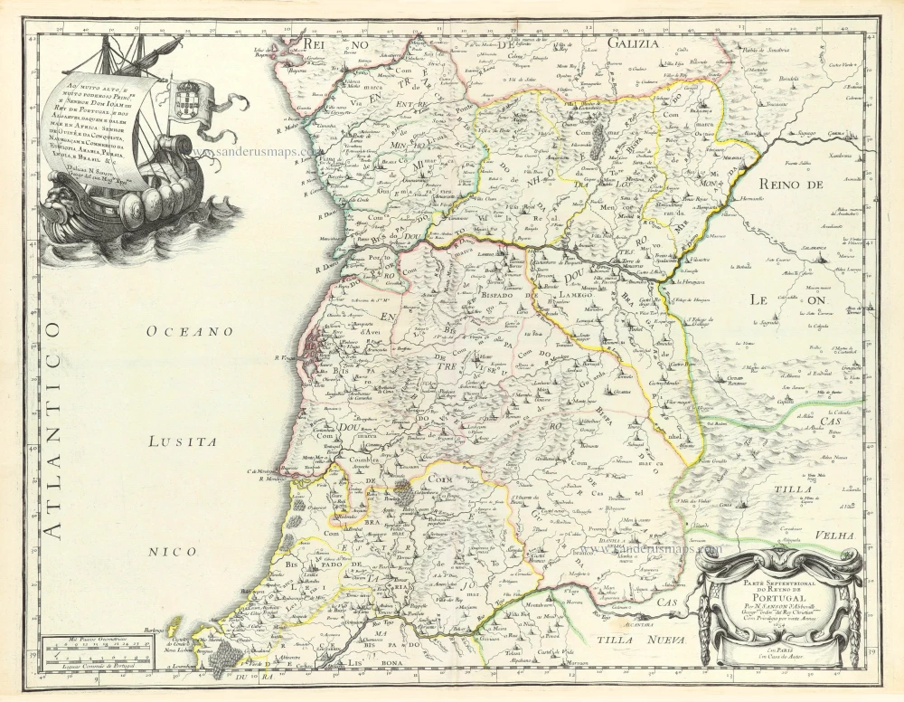
Parte Septentrional do Reyno de Portugal. 1658
Northern Portugal by Nicolas Sanson.
[Item number: 29663]

Parte Septentrional do Reyno de Portugal. 1658
Southern Portugal by Nicolas Sanson.
[Item number: 29664]

Portugalliae que olim Lusitania, novissima et exactissima descriptio, c. 1610-1650
Portugal, by Jodocus Hondius.
[Item number: 30921]

Portugallia. 1618
Portugal by Petrus Bertius, published by Jodocus Hondius II.
[Item number: 31545]

Portugalliae et Algarbiae cumfinitimis Hispaniae Regnis: Castiliae, Legionis, Andalusiae, Extrematurae, Galliciae & Granatae Novissima Tabula c. 1720
Portugal & Brazil, by J.B. Homann.
[Item number: 32161]

Portugallia et Algarbia quae olim Lusitania. 1647-50
Portugal, by Willem Blaeu
[Item number: 32435]

Scarce!
Novissima Regnorum Portugalliae et Algarbiae Descriptio. c. 1680
Portugal by Theodore Danckerts.
[Item number: 32461]

Important sea chart
Die Zee Caerte van Portugal, tusschen Camino en Montego, alsoe dat Landt Alt daer in sijn Ghedaente is, met alle sijne Haeven enn Ondiepten ... 1586
Portugal by Waghenaer L.J.
[Item number: 33037]
new