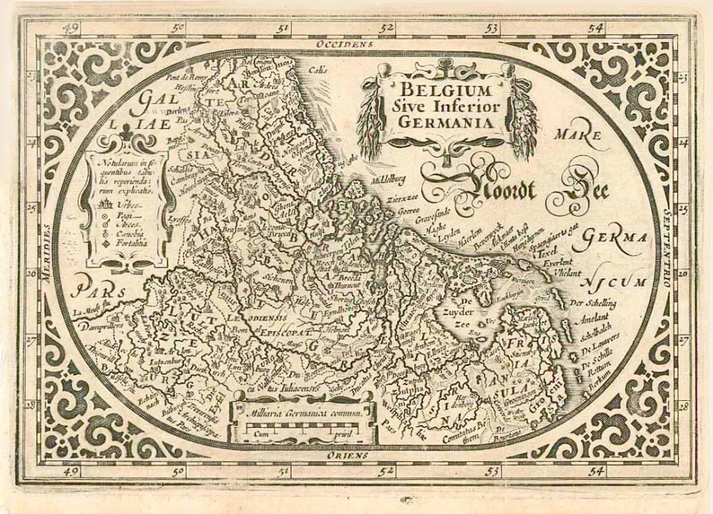
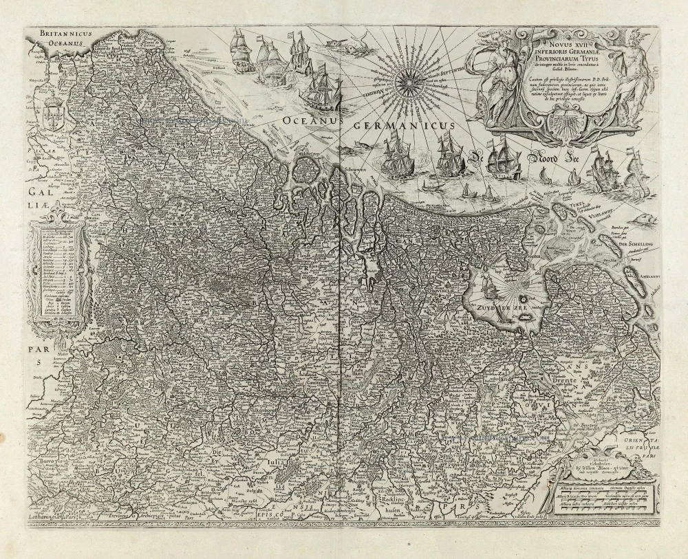
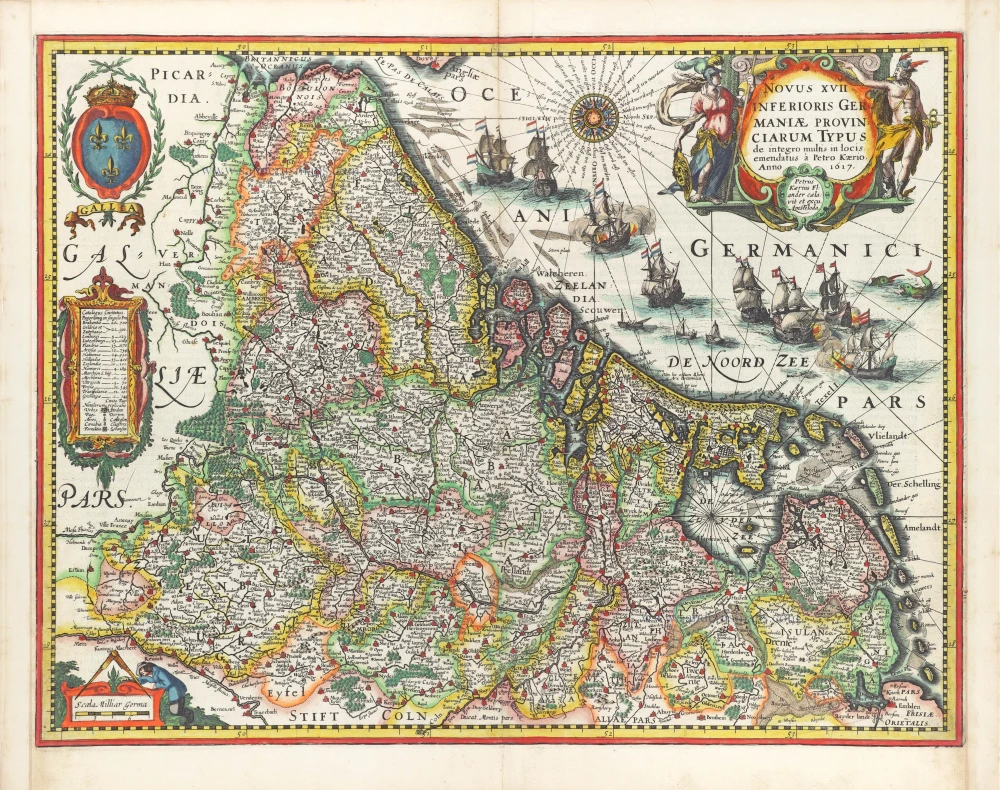
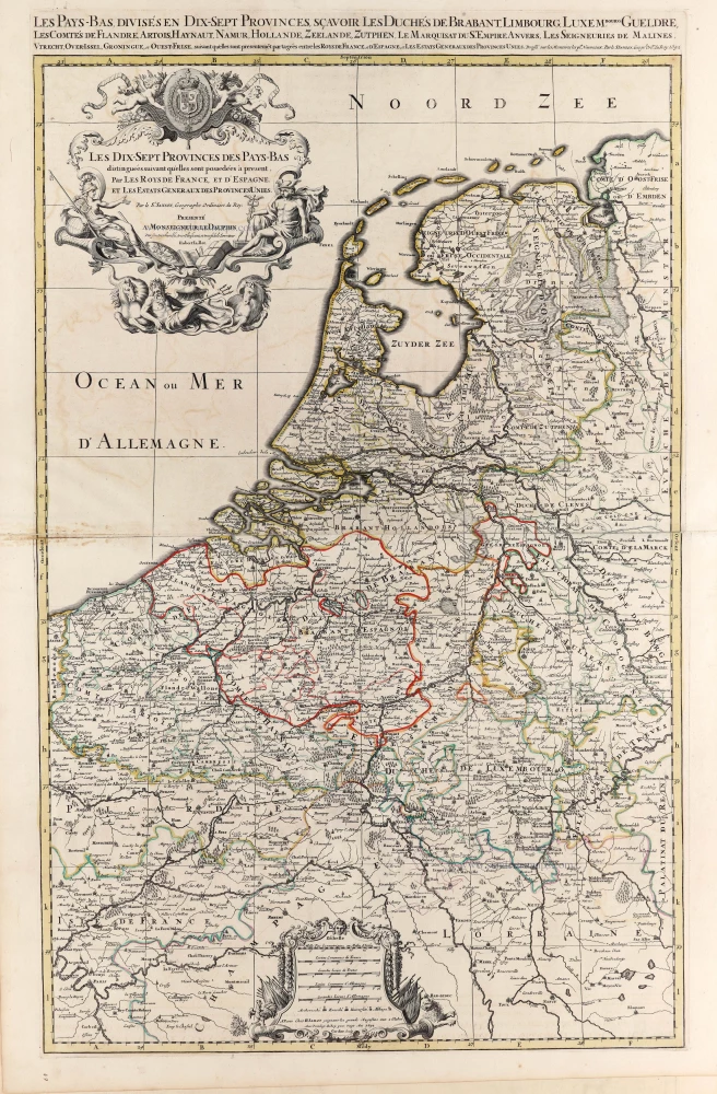
The 17 Provinces, by Jan Orlers. 1610
Jan Orlers (1570-1646)
Bookseller and prominent of Leiden. Orlers became important people in the history of Leiden and the Dutch Revolution. He wrote several works with nice engravings of cities and battles.
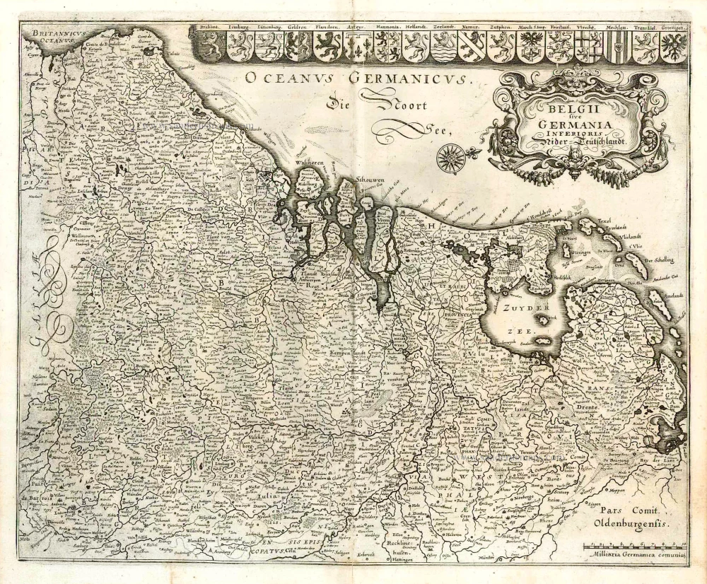
Belgiae Inferioris descriptio emendata cum circu(m)jacentium regionum confinijs.
Item Number: 25913 Authenticity Guarantee
Category: Antique maps > Europe > The Low Countries
The 17 Provinces, by Jan Orlers.
Title: Belgiae Inferioris descriptio emendata cum circu(m)jacentium regionum confinijs.
Date of the first edition: 1610.
Date of this map: 1610
Copper engraving, printed on paper.
Size (not including margins): 235 x 320mm (9.25 x 12.6 inches).
Verso: Blank.
Condition: Light age-toned.
Condition Rating: A.
From: Jan Jansz. Orlers, Warachtige beschrijvinghe van alle de belegeringhen ende victorien te water ende te lande, die God Almachich tot welvaren der Vereenichde Nederlanden te wege gebracht ende gegeven heeft, door de vvijse, voorsichtige raden der H. M. H. Staten Generael der Geunieerde Provintien ende d'alder cloeckmoedichste daden, ende beleydinge, des Doorluchtighen Hoochghebooren Furst Mavrits van Nassav, prince van Orangien ... Leiden, H. Lodewijcxsz. van Haestens, 1610.
Jan Orlers (1570-1646)
Bookseller and prominent of Leiden. Orlers became important people in the history of Leiden and the Dutch Revolution. He wrote several works with nice engravings of cities and battles.


