
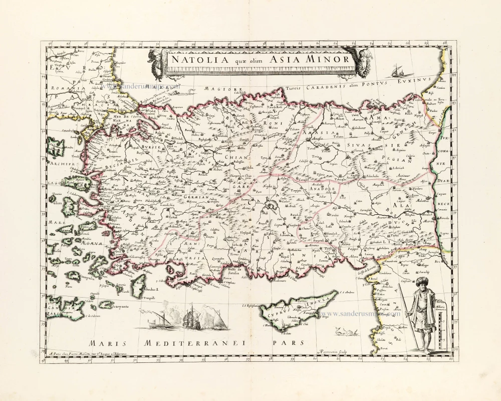
Turkey and Cyprus, by Willem Blaeu. 1640
The Blaeus: Willem Janszoon, Cornelis & Joan
Willem Jansz. Blaeu and his son Joan Blaeu are the most widely known cartographic publishers of the seventeenth century.
Willem Jansz. (also written Guilielmus Janssonius) = Willem Janszoon Blaeu, was born in Uitgeest (Netherlands), near Alkmaar in 1571. He studied mathematics under Tycho Brahe and learned the theory and practice of astronomical observations and the art of instrument- and globe making.
In 1596 he came to Amsterdam where he settled down as a globe-, instrument- and map-maker. He published his first cartographic work (a globe) in 1599 and probably published his first printed map (a map of the Netherlands) in 1604. He specialized in maritime cartography and published the first edition of the pilot guide Het Licht der Zeevaert in 1608, and was appointed Hydrographer of the V.O.C. (United East India Company) in 1633. After thirty years of publishing books, wall maps, globes, charts and pilot guides, he brought out his first atlas, Atlas Appendix (1630). This was the beginning of the great tradition of atlas-making by the Blaeus.
In 1618 another mapmaker, bookseller and publisher, Johannes Janssonius established himself in Amsterdam next door to Blaeu's shop. It is no wonder that these two neighbours, who began accusing each other of copying and stealing their information, became fierce competitors who did not have a good word to say about each other. In about 1621 Willem Jansz. decided to put an end to the confusion between his name and his competitor's, and assumed his grandfather's sobriquet, 'blauwe Willem' ('blue Willem'), as the family name; thereafter he called himself Willem Jansz. Blaeu.
Willem Janszoon Blaeu died in 1638, leaving his prospering business to his sons, Cornelis and Joan. Of Cornelis we only know that his name occurs in the prefaces of books and atlases until c. 1645.
Joan Blaeu, born in Amsterdam, 1596, became partner in his father’s book trade and printing business. In 1638 he was appointed his father’s successor in the Hydrographic office of the V.O.C. His efforts culminated in the magnificent Atlas Major and the town-books of the Netherland and of Italy – works unsurpassed in history and in modern times, which gave eternal fame to the name of the Blaeus.
On February 23, 1672, a fire ruined the business. One year later, Dr. Joan Blaeu died. The fire of 1672 and the passing away of the director gave rise to a complete sale of the stock of the Blaeu House. Five public auctions dispersed the remaining books, atlases, copperplates, globes, etc., among many other map dealers and publishers in Amsterdam. The majority was acquired by a number of booksellers acting in partnership.
In the succeeding years, the remaining printing department was left in the hands of the Blaeu family until 1695 when also the inventory of the printing house was sold at a public auction. That meant the end of the Blaeus as a printing house of world renown.
Natolia quae olim Asia Minor.
Item Number: 27148 Authenticity Guarantee
Category: Antique maps > Asia > Turkey - Cyprus
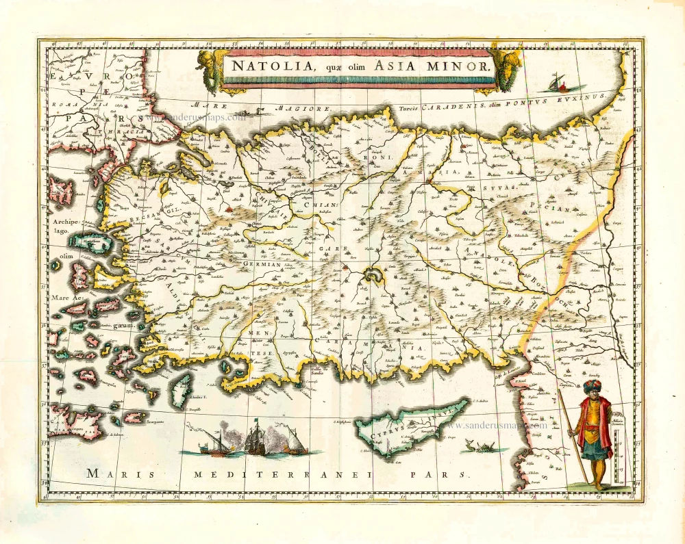
Old, antique map of Turkey and Cyprus, by Willem Blaeu.
Title: Natolia quae olim Asia Minor.
Date of the first edition: 1634.
Date of this map: 1640.
Copper engraving, printed on paper.
Size (not including margins): 380 x 500mm (14.96 x 19.69 inches).
Verso: French text.
Condition: Original coloured, excellent.
Condition Rating: A+.
From: Théâtre du Monde ou Nouvel Atlas. Seconde partie. J. Blaeu, 1640. (Van der Krogt 2, 211.2C)
The Blaeus: Willem Janszoon, Cornelis & Joan
Willem Jansz. Blaeu and his son Joan Blaeu are the most widely known cartographic publishers of the seventeenth century.
Willem Jansz. (also written Guilielmus Janssonius) = Willem Janszoon Blaeu, was born in Uitgeest (Netherlands), near Alkmaar in 1571. He studied mathematics under Tycho Brahe and learned the theory and practice of astronomical observations and the art of instrument- and globe making.
In 1596 he came to Amsterdam where he settled down as a globe-, instrument- and map-maker. He published his first cartographic work (a globe) in 1599 and probably published his first printed map (a map of the Netherlands) in 1604. He specialized in maritime cartography and published the first edition of the pilot guide Het Licht der Zeevaert in 1608, and was appointed Hydrographer of the V.O.C. (United East India Company) in 1633. After thirty years of publishing books, wall maps, globes, charts and pilot guides, he brought out his first atlas, Atlas Appendix (1630). This was the beginning of the great tradition of atlas-making by the Blaeus.
In 1618 another mapmaker, bookseller and publisher, Johannes Janssonius established himself in Amsterdam next door to Blaeu's shop. It is no wonder that these two neighbours, who began accusing each other of copying and stealing their information, became fierce competitors who did not have a good word to say about each other. In about 1621 Willem Jansz. decided to put an end to the confusion between his name and his competitor's, and assumed his grandfather's sobriquet, 'blauwe Willem' ('blue Willem'), as the family name; thereafter he called himself Willem Jansz. Blaeu.
Willem Janszoon Blaeu died in 1638, leaving his prospering business to his sons, Cornelis and Joan. Of Cornelis we only know that his name occurs in the prefaces of books and atlases until c. 1645.
Joan Blaeu, born in Amsterdam, 1596, became partner in his father’s book trade and printing business. In 1638 he was appointed his father’s successor in the Hydrographic office of the V.O.C. His efforts culminated in the magnificent Atlas Major and the town-books of the Netherland and of Italy – works unsurpassed in history and in modern times, which gave eternal fame to the name of the Blaeus.
On February 23, 1672, a fire ruined the business. One year later, Dr. Joan Blaeu died. The fire of 1672 and the passing away of the director gave rise to a complete sale of the stock of the Blaeu House. Five public auctions dispersed the remaining books, atlases, copperplates, globes, etc., among many other map dealers and publishers in Amsterdam. The majority was acquired by a number of booksellers acting in partnership.
In the succeeding years, the remaining printing department was left in the hands of the Blaeu family until 1695 when also the inventory of the printing house was sold at a public auction. That meant the end of the Blaeus as a printing house of world renown.
Related items
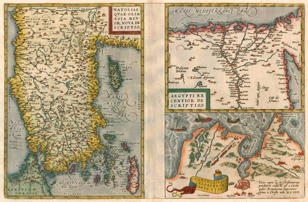
Natoliae quae olim Asia Minor [on sheet with] Argypti Recentioe Descriptio [and] Carthaginis Celeberrimi Sinus Typus 1612
Turkey - Egypt - Cartago by Ortelius A.
[Item number: 22800]
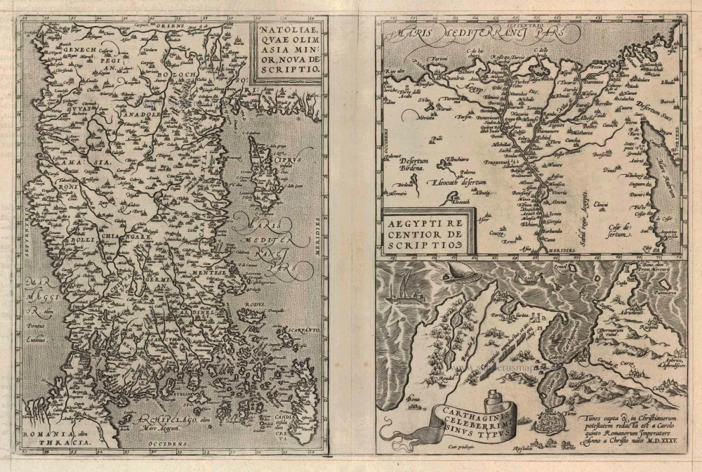
Natoliae quae olim Asia Minor [on sheet with] Argypti Recentioe Descriptio [and] Carthaginis Celeberrimi Sinus Typus 1598
Turkey - Egypt - Cartago, by A. Ortelius.
[Item number: 22865]
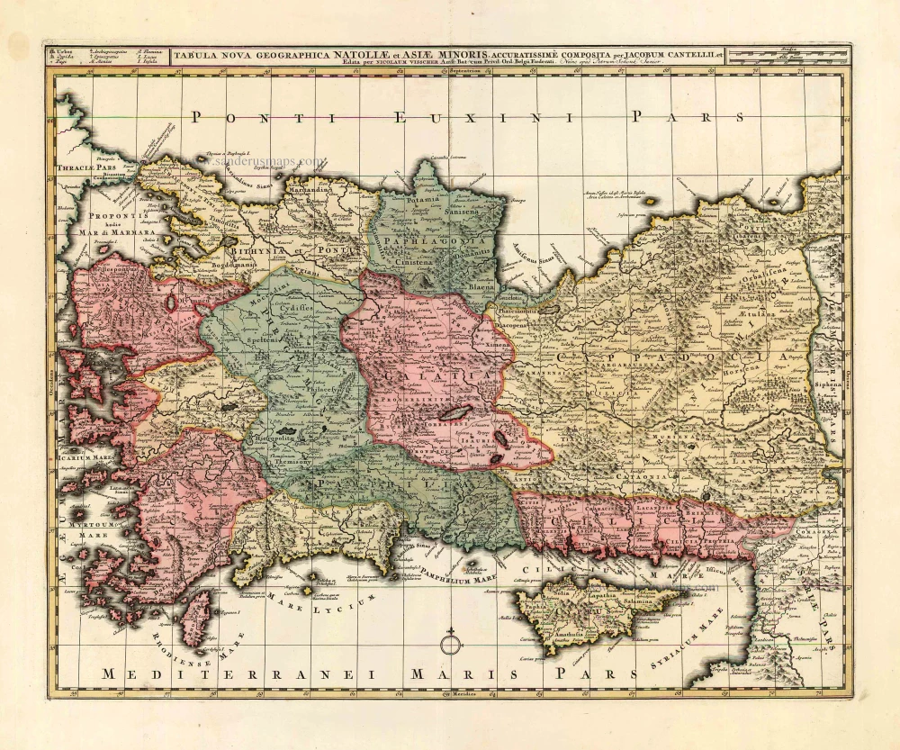
Tabula Nova Geographica Natoliae et Asiae Minoris. c. 1740
Turkey - Cyprus by N. Visscher II - P. Schenk.
[Item number: 25841]

Turquie en Europe. 1713
Greece, by P. Van der Aa.
[Item number: 26076]
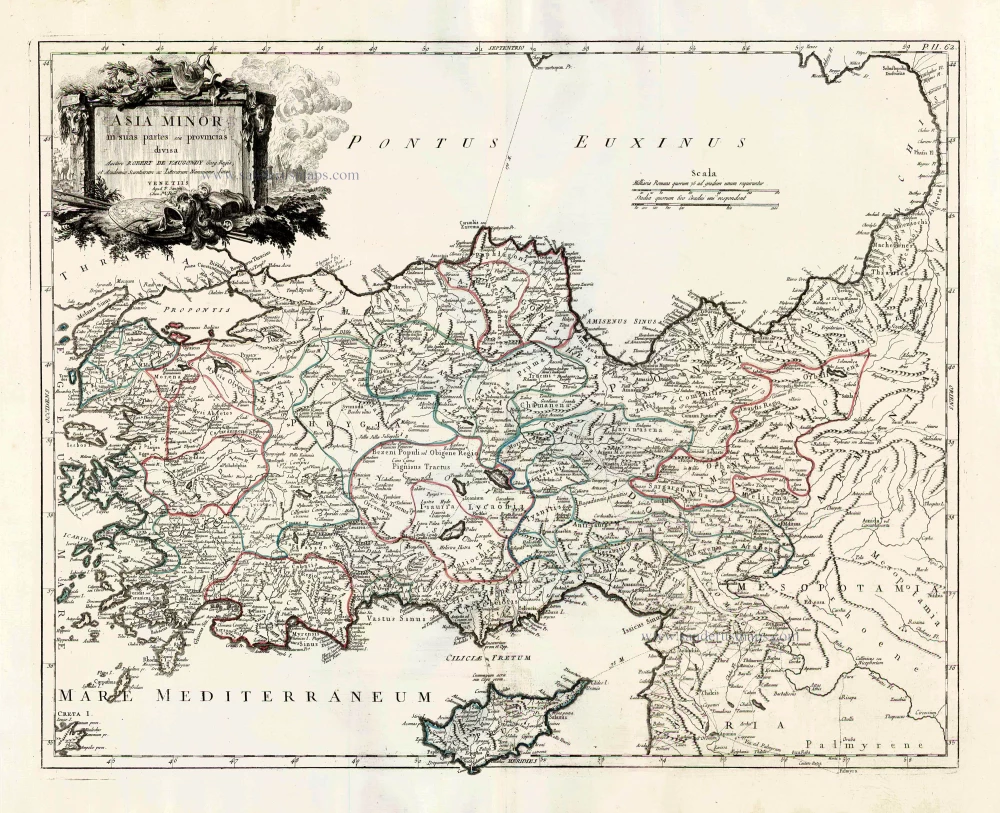
Asia Minor in suas partes seu provincias divisa. 1776-79
Turkey and Cyprus, by Paolo Santini.
[Item number: 27014]
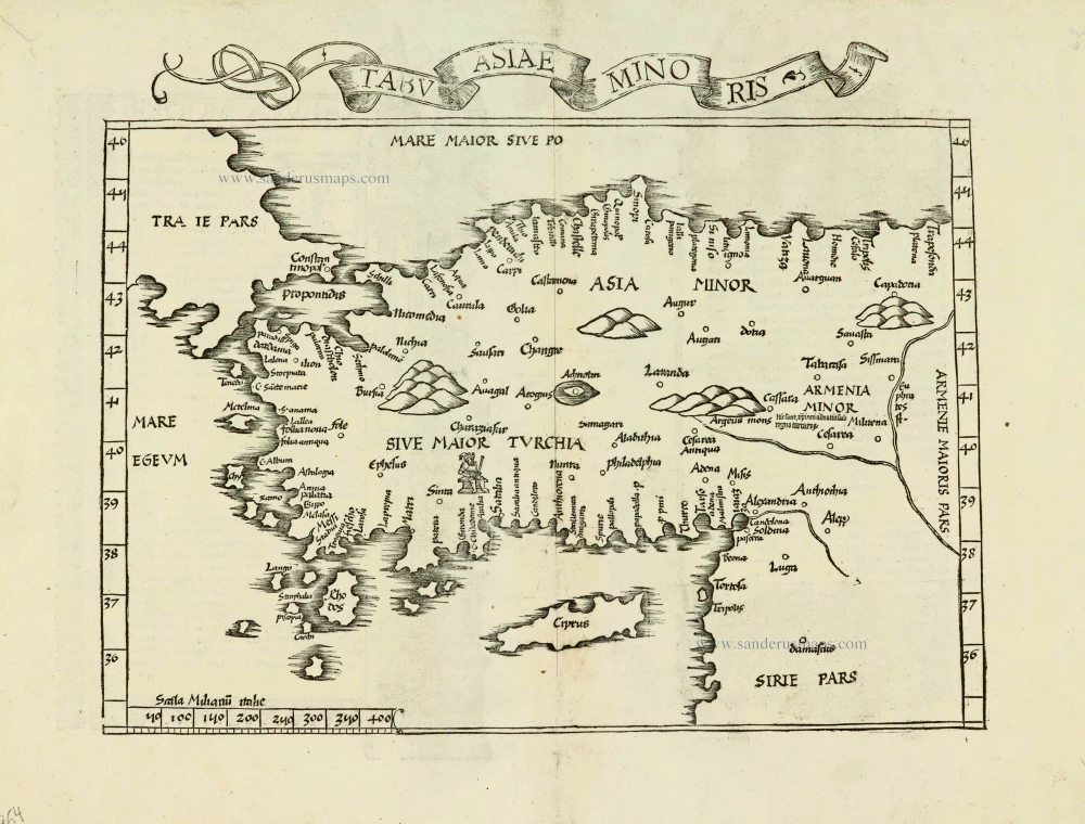
Tabula nova Asiae minoris. 1525
Turkey, by Lorenz Fries.
[Item number: 27954]
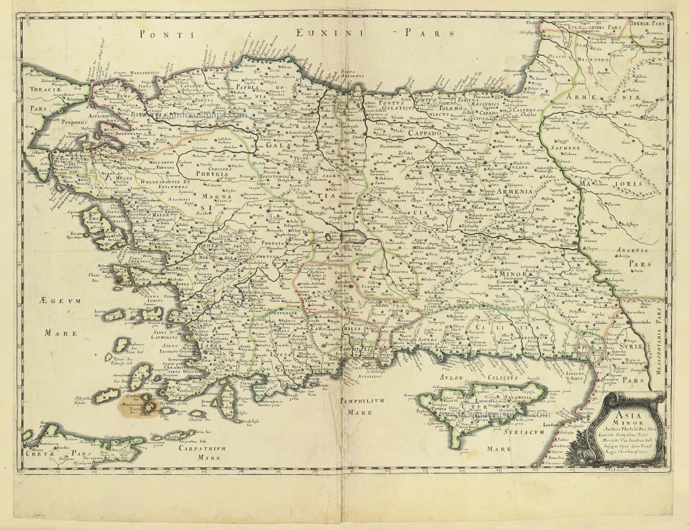
Asia Minor. 1665
Turkey - Cyprus by Philippe de la Rue.
[Item number: 28470]
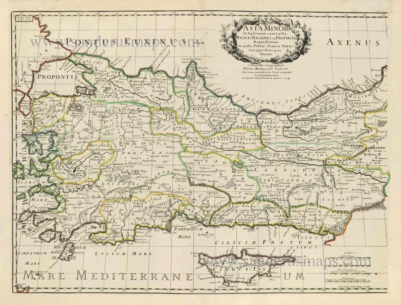
Asia Minor In Epitomen contracta, Magnas Regiones seu Provincias Representans In Quibus Populi, Primariae Urbes Locaque Praecipua Notantur. 1700-1710
Turkey & Cyprus by Pierre Moullart-Sanson.
[Item number: 28532]
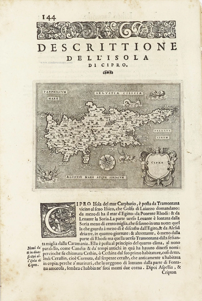
Cipro. - [Above map :] Descrittione dell'Isola di Cipro. 1590
Cyprus by Thomasso Porcacchi.
[Item number: 29827]
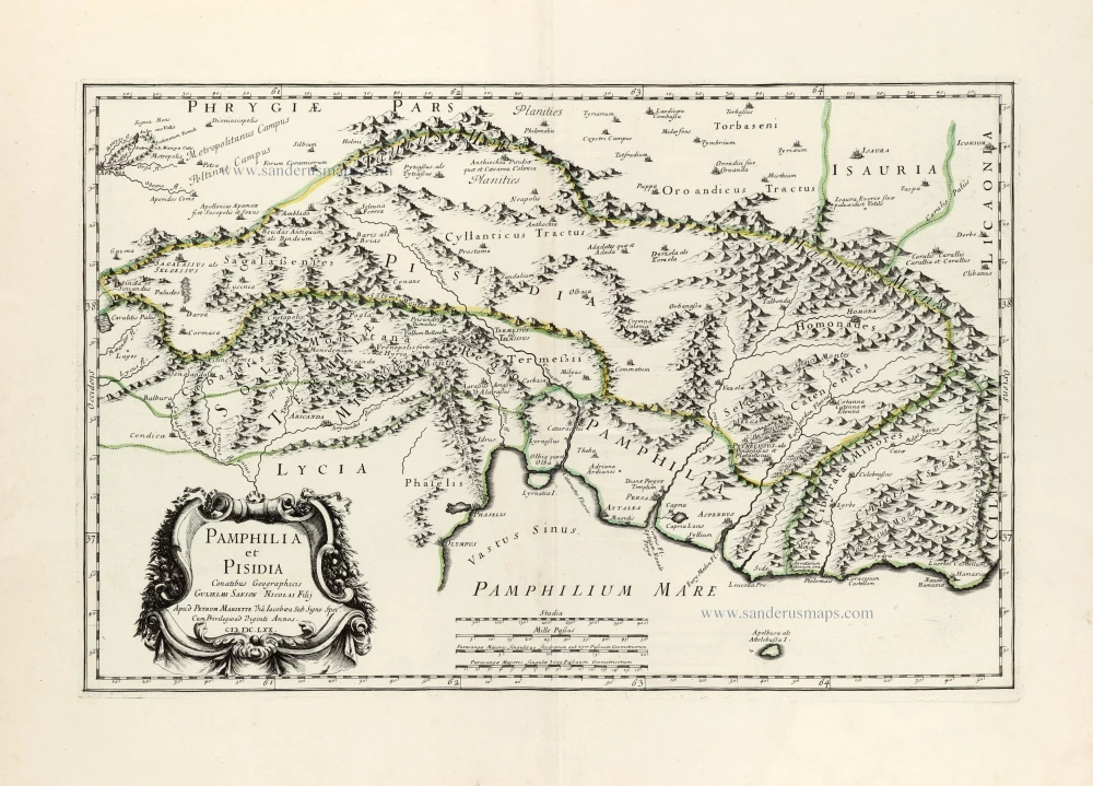
Pamphilia et Pisidia. 1670
Pamphylia & Pisidia (Anatolia - Turkey) by Pierre Mariette.
[Item number: 30022]
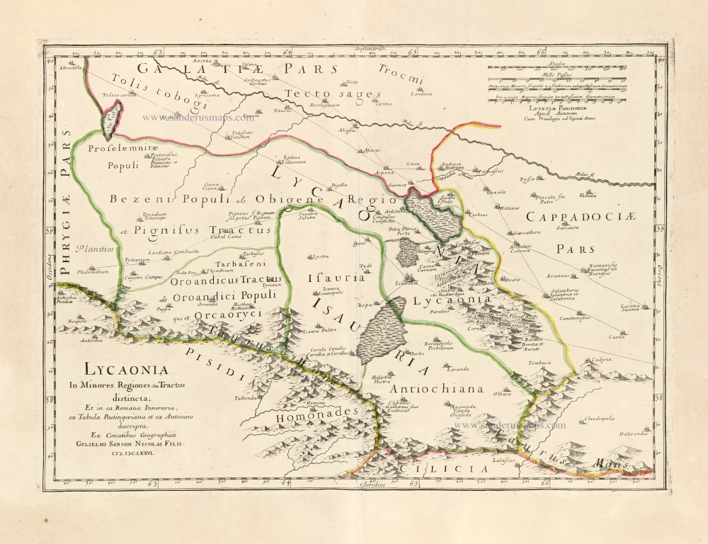
Lycaonia In Minores Regiones seu Tractus distincta; Et in ea Romana Itineraria, ex Tabula Peutingeriana et ex Antonino descripta. 1676
Lycaonia (Central Turkey) by Guillaume Sanson.
[Item number: 30023]
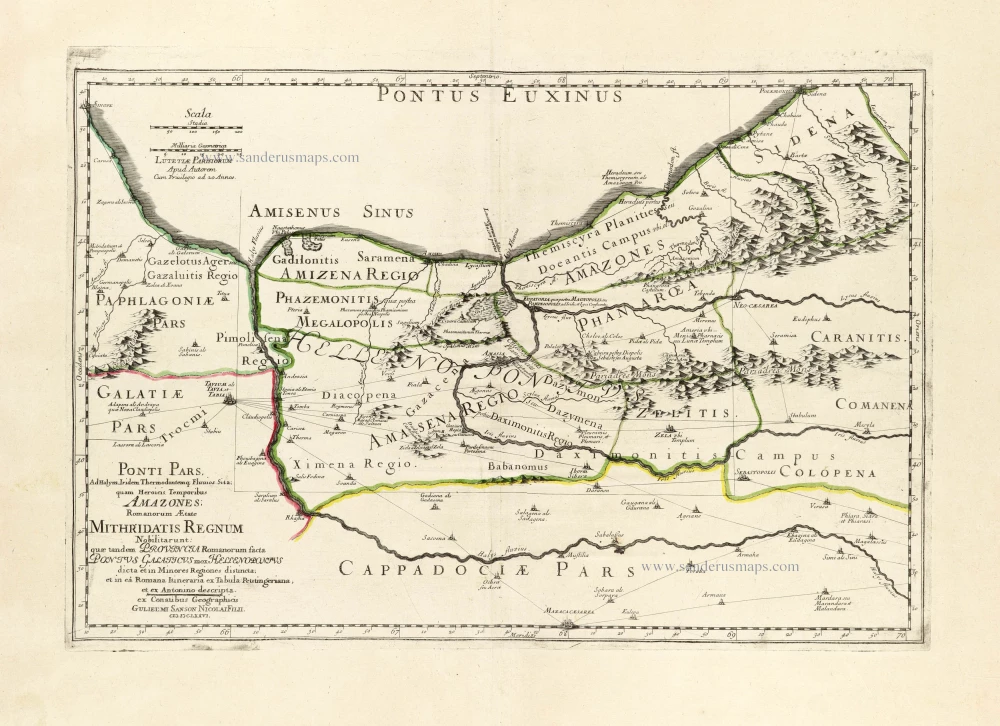
*** Scarce first edition ***
Ponti Pars, Ad Halym, Iridem Thermodontemq[ue]; Fluvios Sita; quam Heroicis Temporibus Amazones Romanorum Aetate Mithridatis Regnum Nobilitarunt: quae tandem Provincia Romanorum facta Pontus Galaticus mox Hellenopontus dicta et in Minores Regiones distincta; et in ea Romana Itineraria ex Tabula Peutingeriana, et ex Antonino descripta. 1676
Ancient Northern Turkey by Guillaume Sanson.
[Item number: 30024]
*** Rare first edition ***
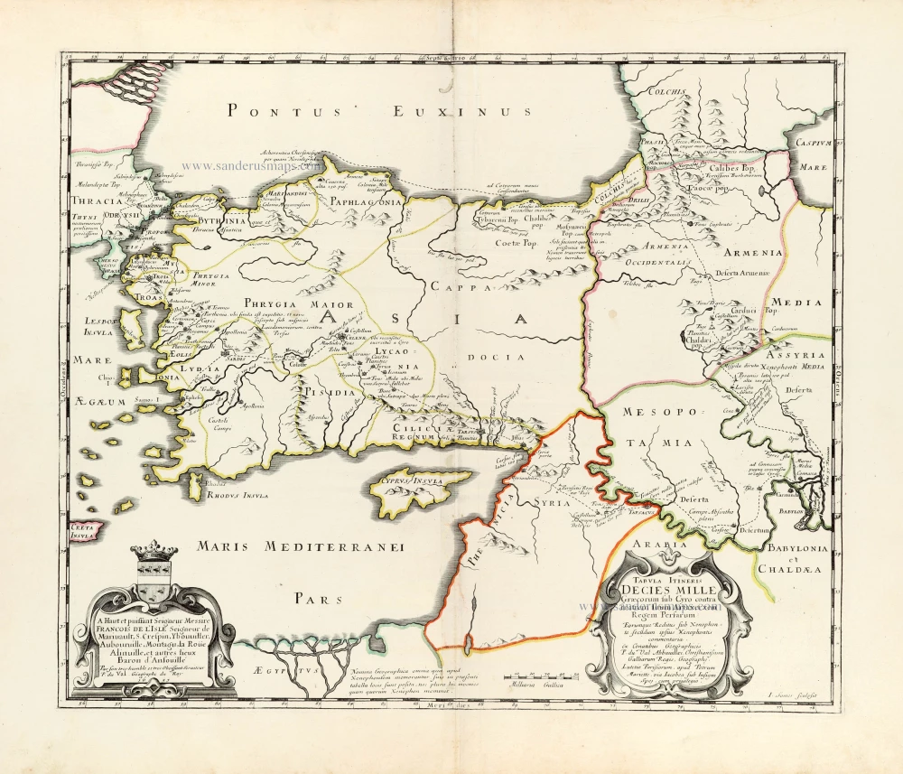
Tabula Itineris Decies Mille Graecorum sub Cyro contra fratrem suum Artaxerxem Regem Persarum. 1653
Asia Minor through to Armenia and Babylon by Pierre Duval.
[Item number: 30038]
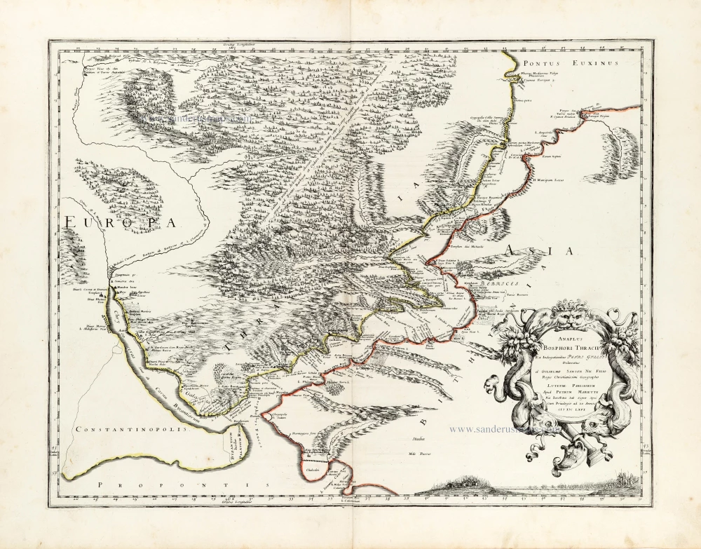
Anaplus Bosphori Thracii. 1665
Bosporus by Guillaume Sanson.
[Item number: 30040]
Natolia quae olim Asia Minor. ca. 1658-1663
Turkey by Nicolas Sanson, published by Pierre Mariette.
[Item number: 30046]
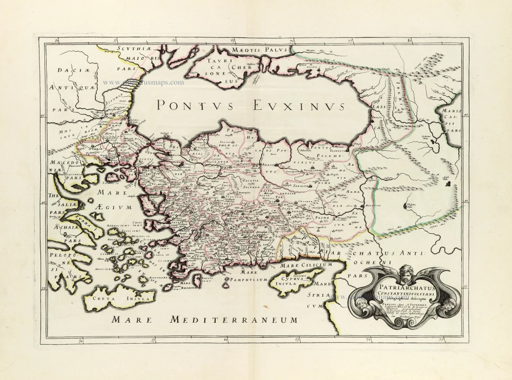
Patriarchatus Constantinopolitani Geographica descriptio. ca. 1640
Turkey & Black Sea by J.B. Tavernier.
[Item number: 30048]
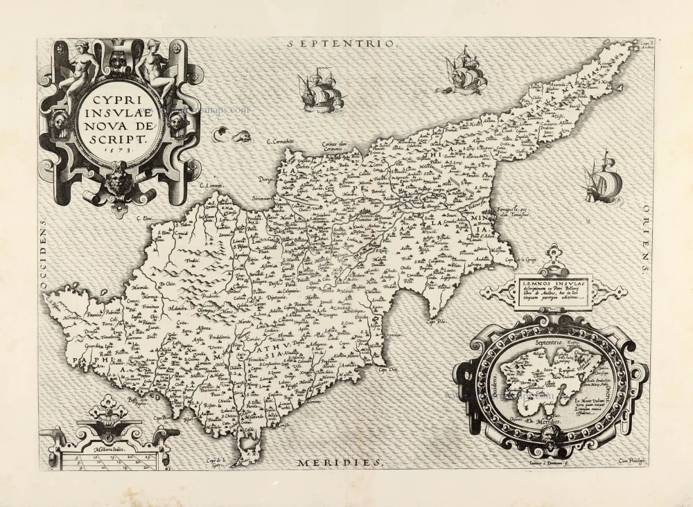
Cypri Insulae Nova Descript. 1573 1575
Cyprus by Abraham Ortelius.
[Item number: 30103]