
*** Rare first edition ***
Asia Minor through to Armenia and Babylon by Pierre Duval. 1653
Pierre Duval (Abbeville, 1618 - 1683)
French geographer, nephew and pupil of Nicolas Sanson. He was encouraged by Louis XIV to move to Paris. In 1650 he became Géographe Ordinaire du Roy.
Pierre Mariette (1602-1658)
Bookseller, printseller, printer, and publisher, located in the Rue Saint-Jacques in Paris. On February 12, 1644, Pierre Mariette acquired most of Melchior Tavernier's fund. In 1646, he had a series of maps by Blaeu copied and asked Abraham Peyrounin to engrave them. In the meantime, he published the works of Nicolas Sanson. In 1650 he published the atlas Théâtre Géographique de France. A second edition followed in 1653. He later contributed to Sanson's atlas, the Cartes générales de toutes les parties du monde. Many maps of Mariette's Théatre appeared in later editions of Sanson's Cartes générales.
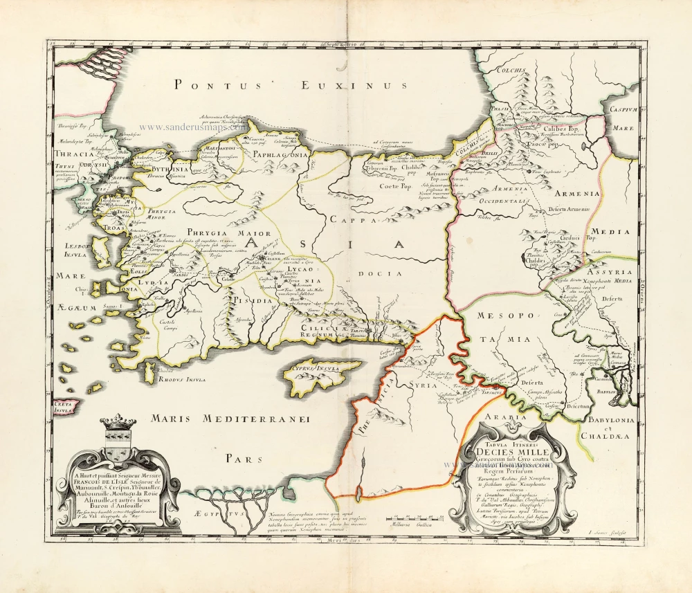
Tabula Itineris Decies Mille Graecorum sub Cyro contra fratrem suum Artaxerxem Regem Persarum.
Item Number: 30038 Authenticity Guarantee
Category: Antique maps > Asia > Middle East
Old, antique map of Asia Minor through to Armenia and Babylon by Pierre Duval.
Title: Tabula Itineris Decies Mille Graecorum sub Cyro contra fratrem suum Artaxerxem Regem Persarum.
Eorumque Reditus sub Xenophonte secu[n]dum ipsius Xenophontis commentaria.
Ex Conatibuus Geographicis P. du Val Abbavillaei, Christianissimi Galliarum Regis, Geographj.
Lutetiae Parisorum, apud Petrum Mariette, via Iacobea sub Insigni Spej. cim privilegio.
I Somer sculpsit.
With a dedication to François de L'isle signed P. du Val, Géographe du Roy 1653.
Engraver: Jean Somer.
Date of the first edition: 1653.
Date of this map: 1653.
Date on map: 1653.
Copper engraving, printed on paper.
Image size: 370 x 510mm (14.57 x 20.08 inches).
Sheet size: 485 x 640mm (19.09 x 25.2 inches).
Verso: Blank.
Condition: Original coloured in outline, excellent.
Condition Rating: A+.
Separate publication.
Pierre Duval (Abbeville, 1618 - 1683)
French geographer, nephew and pupil of Nicolas Sanson. He was encouraged by Louis XIV to move to Paris. In 1650 he became Géographe Ordinaire du Roy.
Pierre Mariette (1602-1658)
Bookseller, printseller, printer, and publisher, located in the Rue Saint-Jacques in Paris. On February 12, 1644, Pierre Mariette acquired most of Melchior Tavernier's fund. In 1646, he had a series of maps by Blaeu copied and asked Abraham Peyrounin to engrave them. In the meantime, he published the works of Nicolas Sanson. In 1650 he published the atlas Théâtre Géographique de France. A second edition followed in 1653. He later contributed to Sanson's atlas, the Cartes générales de toutes les parties du monde. Many maps of Mariette's Théatre appeared in later editions of Sanson's Cartes générales.
Related items
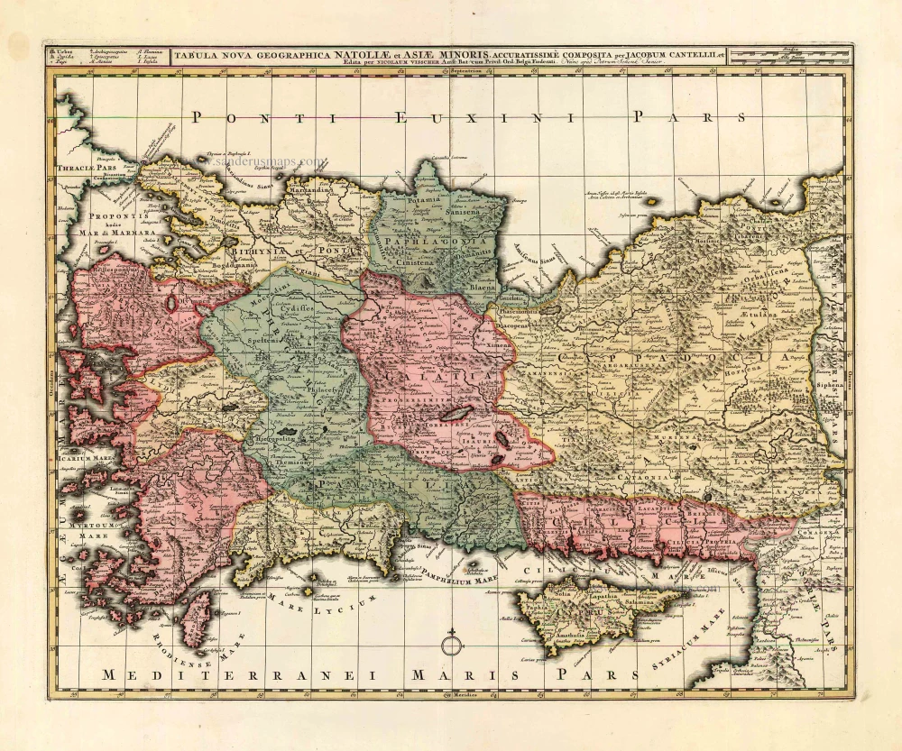
Tabula Nova Geographica Natoliae et Asiae Minoris. c. 1740
Turkey - Cyprus by N. Visscher II - P. Schenk.
[Item number: 25841]
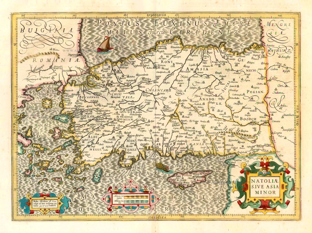
Natoliae sive Asia Minor. 1641
Turkey & Cyprus, by Jodocus Hondius.
[Item number: 26435]
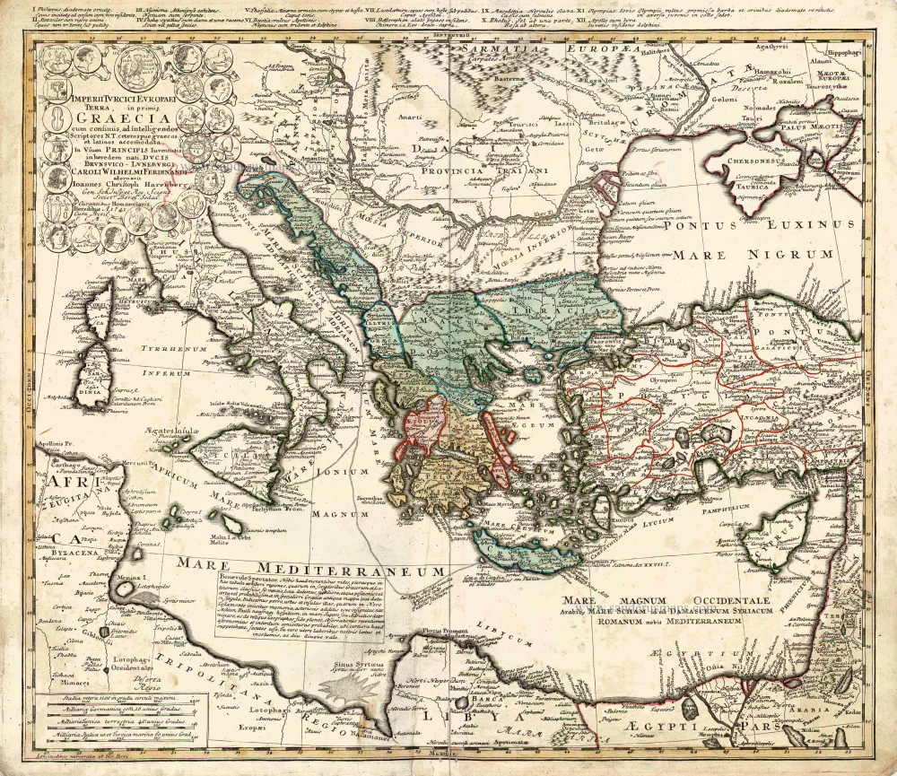
Imperii Turcici Europaei Terra in Primis Graecia. 1752-1775
Southeastern Europe - Turkey by Homann Heirs
[Item number: 26592]
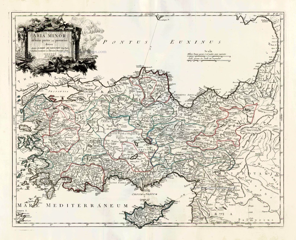
Asia Minor in suas partes seu provincias divisa. 1776-79
Turkey and Cyprus, by Paolo Santini.
[Item number: 27014]
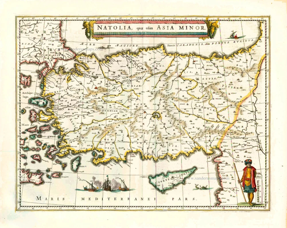
Natolia quae olim Asia Minor. 1640
Turkey and Cyprus, by Willem Blaeu.
[Item number: 27148]
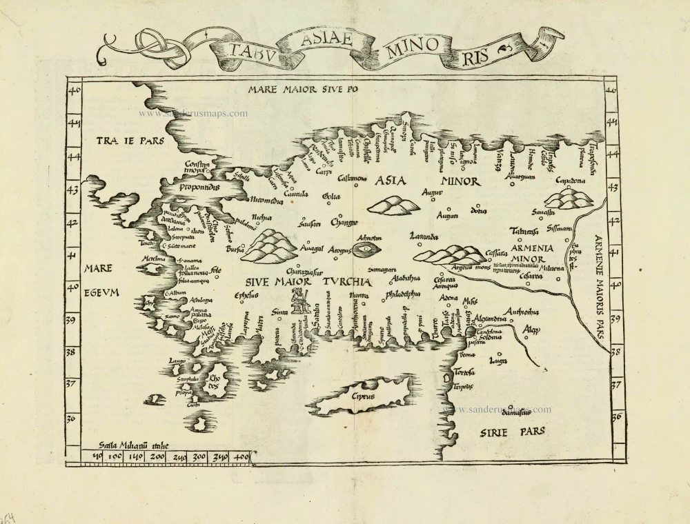
Tabula nova Asiae minoris. 1525
Turkey, by Lorenz Fries.
[Item number: 27954]
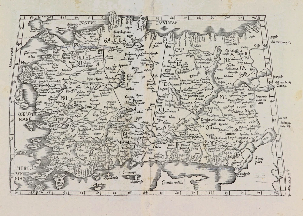
[Title on verso:] Tabula .I. Asiae. 1525
Ptolemaic map of Turkey, by Lorenz Fries.
[Item number: 27975]
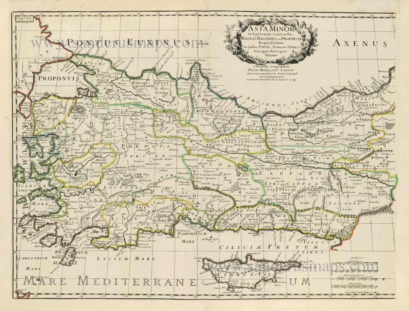
Asia Minor In Epitomen contracta, Magnas Regiones seu Provincias Representans In Quibus Populi, Primariae Urbes Locaque Praecipua Notantur. 1700-1710
Turkey & Cyprus by Pierre Moullart-Sanson.
[Item number: 28532]
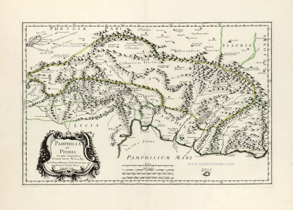
Pamphilia et Pisidia. 1670
Pamphylia & Pisidia (Anatolia - Turkey) by Pierre Mariette.
[Item number: 30022]
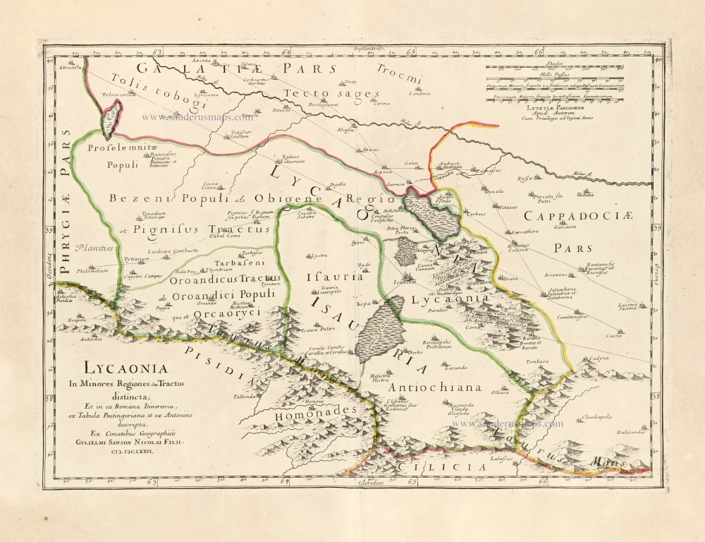
Lycaonia In Minores Regiones seu Tractus distincta; Et in ea Romana Itineraria, ex Tabula Peutingeriana et ex Antonino descripta. 1676
Lycaonia (Central Turkey) by Guillaume Sanson.
[Item number: 30023]
*** Scarce first edition ***
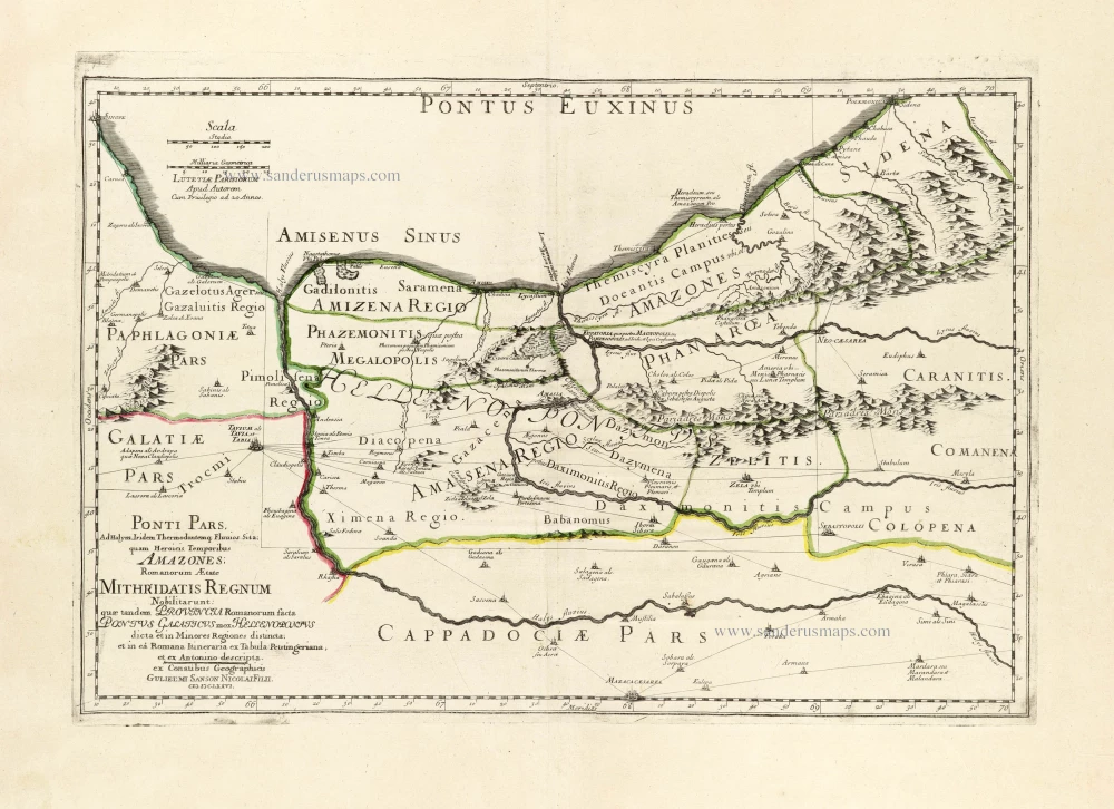
Ponti Pars, Ad Halym, Iridem Thermodontemq[ue]; Fluvios Sita; quam Heroicis Temporibus Amazones Romanorum Aetate Mithridatis Regnum Nobilitarunt: quae tandem Provincia Romanorum facta Pontus Galaticus mox Hellenopontus dicta et in Minores Regiones distincta; et in ea Romana Itineraria ex Tabula Peutingeriana, et ex Antonino descripta. 1676
Ancient Northern Turkey by Guillaume Sanson.
[Item number: 30024]