
Very rare map!!
the 17 Provinces, by Pieter Verbiest 1630
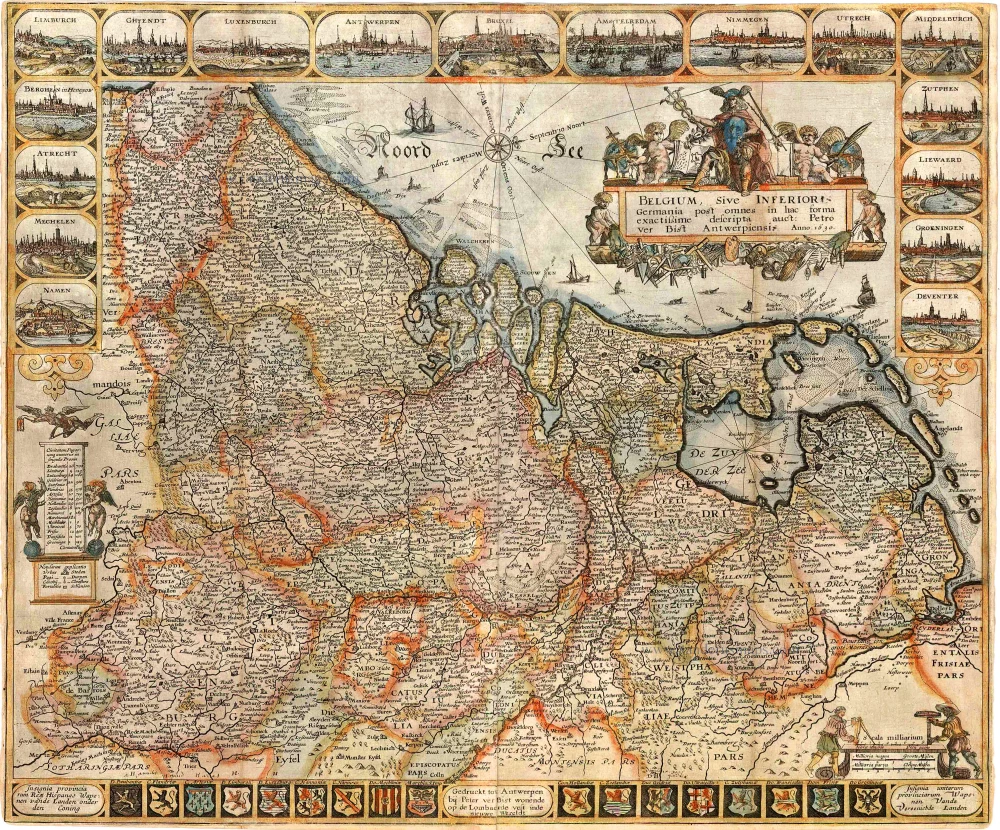

EXTREMELY RARE MAP OF THE 17 PROVINCES BY PIETER VERBIEST.
Perhaps there was an earlier state of this map: in the title, at the end of the word INFERIOR, there are still traces of two erased letters: IS (from INFERIORIS), and at the end of the word Antwerpiensi, an S has been erased. The title appears in an ornamental cartouche in the upper right corner, decorated by Mercury and several putti with instruments. The imprint appears in the centre of the bottom border. The map is framed by decorative borders on all sides. The town views in ovals appear in a frame that runs along the top of the map and halfway down both sides. A total of 17 town views are present, one important town from each province: Namen - Mechelen - Atrecht - Berghen in Henegow - Limburch - Ghendt - Luxenburch - Antwerpen - Bruxel -Amstelredam - Nimmegen - Utrech - Middelburch - Zutphen - Liewaerd - Groeningen - Deventer. The bottom border shows the coats of arms of the Seventeen Provinces, the southern provinces (under den Coning) to the left, and the northern ones (Vereenichde Landen) to the right.
Schilder quotes one copy of this first edition - No copy in the Netherlands - This state is unknown to Van der Heyden.
States: 1st state: 1630 - 1 recorded copy: Paris, Bibl. Nat.
2nd state: 1632 - 1 recorded copy: Brussel, Kon. Bibl.
3rd state: 1636 - 3 recorded copies: Brussel, Kon. Bibl.; Milano, Castello Sforzesco; Private English coll. (without bottom border)
4th state: 1639 - 1 recorded copy: Private Belgian coll.
5th state: 1649 - 1 recorded copy: Private foundation (formerly Stopp)
6th state: 1666 - 1 recorded copy: Amsterdam, Univ.Bibl.
Pieter Verbiest (Petrus Verbist) and Isaak Verbiest (Isack Verbist)
Pieter Verbiest (Antwerpen, 1607-1674) was an Antwerp cartographer and engraver. Little is known about his life.
One of his most important works is the Novus Tabularum Geographicorum Belgicae (Antwerp, 1636), a pocket atlas of which two more editions were published later (1644 and 1652). Isaak Verbiest, probably a brother of Pieter, drew and engraved certain maps. Their collaboration also led to the production of two rare world maps.
Pieter Verbiest also published folio maps as separate publications. Koeman describes three editions of a Verbiest atlas of the Netherlands, published between 1636 and 1652. Only one copy of each of these atlases is known.
Verbiest-maps, some with beautiful decorative borders with city views, costumed figures and coats of arms, were sometimes bound in composite atlases. Occasionally, copies of these scarce maps come onto the market.
Belgium, Sive Inferior Germania post omnes in hac forma exactissime descripta auct: Petro ver Bist Antwerpiensi.
Item Number: 27742 Authenticity Guarantee
Category: Antique maps > Europe > The Low Countries
The 17 Provinces, by Pieter Verbiest.
Title: Belgium, Sive Inferior Germania post omnes in hac forma exactissime descripta auct: Petro ver Bist Antwerpiensi.
Engraver: Pieter Verbiest.
With decorative borders.
First state - only one copy recorded, no copy in the Netherlands.
Date of the first edition: 1630
Date of this map: 1630
Date on map: 1630
Copper engraving, printed on paper.
Image size: 464 x 550mm (18.27 x 21.65 inches).
Sheet size: 467 x 560mm (18.39 x 22.05 inches).
Verso: Blank.
Condition:
Original coloured, two additional vertical folds, small reinforcements to folds at the back, and short margins. Good copy.
Condition Rating: A+.From: Separate publication.
EXTREMELY RARE MAP OF THE 17 PROVINCES BY PIETER VERBIEST.
Perhaps there was an earlier state of this map: in the title, at the end of the word INFERIOR, there are still traces of two erased letters: IS (from INFERIORIS), and at the end of the word Antwerpiensi, an S has been erased. The title appears in an ornamental cartouche in the upper right corner, decorated by Mercury and several putti with instruments. The imprint appears in the centre of the bottom border. The map is framed by decorative borders on all sides. The town views in ovals appear in a frame that runs along the top of the map and halfway down both sides. A total of 17 town views are present, one important town from each province: Namen - Mechelen - Atrecht - Berghen in Henegow - Limburch - Ghendt - Luxenburch - Antwerpen - Bruxel -Amstelredam - Nimmegen - Utrech - Middelburch - Zutphen - Liewaerd - Groeningen - Deventer. The bottom border shows the coats of arms of the Seventeen Provinces, the southern provinces (under den Coning) to the left, and the northern ones (Vereenichde Landen) to the right.
Schilder quotes one copy of this first edition - No copy in the Netherlands - This state is unknown to Van der Heyden.
States: 1st state: 1630 - 1 recorded copy: Paris, Bibl. Nat.
2nd state: 1632 - 1 recorded copy: Brussel, Kon. Bibl.
3rd state: 1636 - 3 recorded copies: Brussel, Kon. Bibl.; Milano, Castello Sforzesco; Private English coll. (without bottom border)
4th state: 1639 - 1 recorded copy: Private Belgian coll.
5th state: 1649 - 1 recorded copy: Private foundation (formerly Stopp)
6th state: 1666 - 1 recorded copy: Amsterdam, Univ.Bibl.
Pieter Verbiest (Petrus Verbist) and Isaak Verbiest (Isack Verbist)
Pieter Verbiest (Antwerpen, 1607-1674) was an Antwerp cartographer and engraver. Little is known about his life.
One of his most important works is the Novus Tabularum Geographicorum Belgicae (Antwerp, 1636), a pocket atlas of which two more editions were published later (1644 and 1652). Isaak Verbiest, probably a brother of Pieter, drew and engraved certain maps. Their collaboration also led to the production of two rare world maps.
Pieter Verbiest also published folio maps as separate publications. Koeman describes three editions of a Verbiest atlas of the Netherlands, published between 1636 and 1652. Only one copy of each of these atlases is known.
Verbiest-maps, some with beautiful decorative borders with city views, costumed figures and coats of arms, were sometimes bound in composite atlases. Occasionally, copies of these scarce maps come onto the market.
Related items

Belgiae Inferioris descriptio emendata cum circu(m)jacentium regionum confinijs. 1609
The 17 Provinces, by Ludovico Guicciardini.
[Item number: 25913]
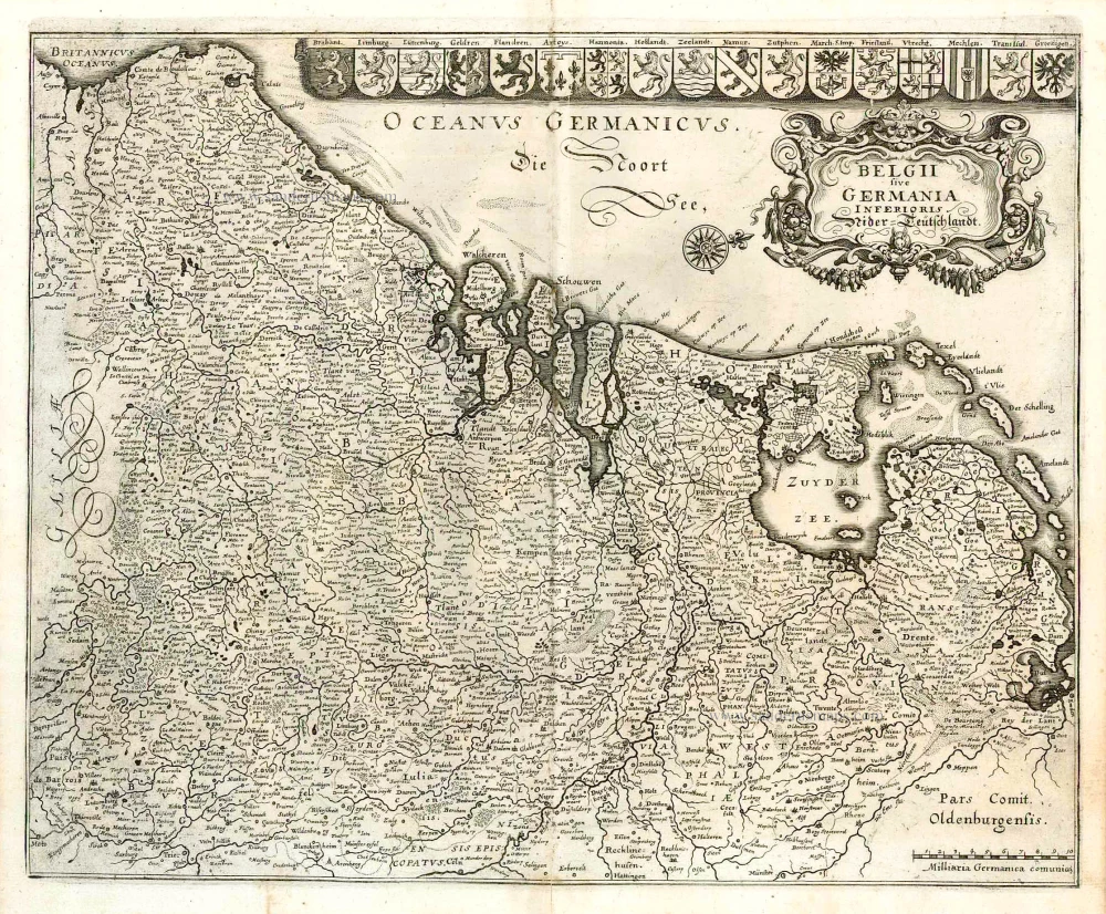
Belgii sive Germania Inferioris - Nider Teutschlandt. 1638
The 17 Provinces, by Matthäus Merian.
[Item number: 26030]
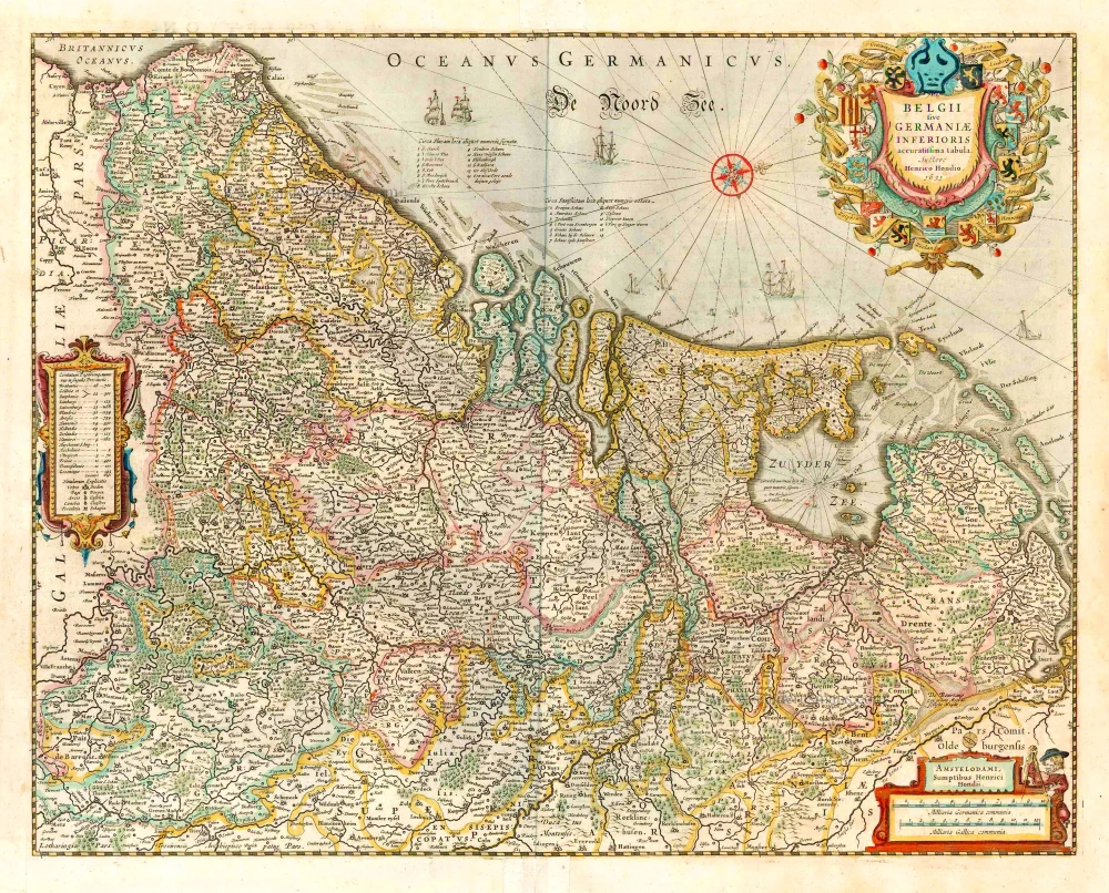
belgii sive germaniae inferioris accuratissima tabula. auctore henrico hondio 1631. amstelodami, sumptibus henrici hondio 1631. 1641
The 17 Provinces, by Henricus Hondius.
[Item number: 26301]
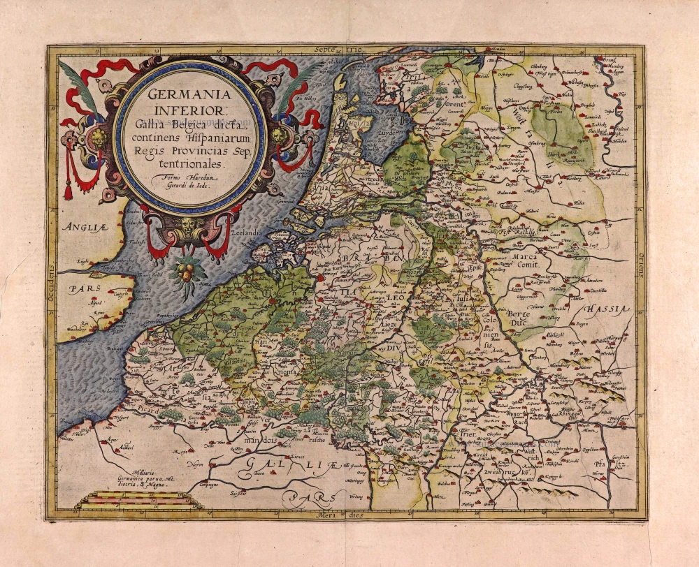
Germania Inferior. Gallia Belgica Dicta, continens Hispaniarum Regis Provincias Septentrionales. 1593
XVII Provinces, by Gerard de Jode.
[Item number: 27943]
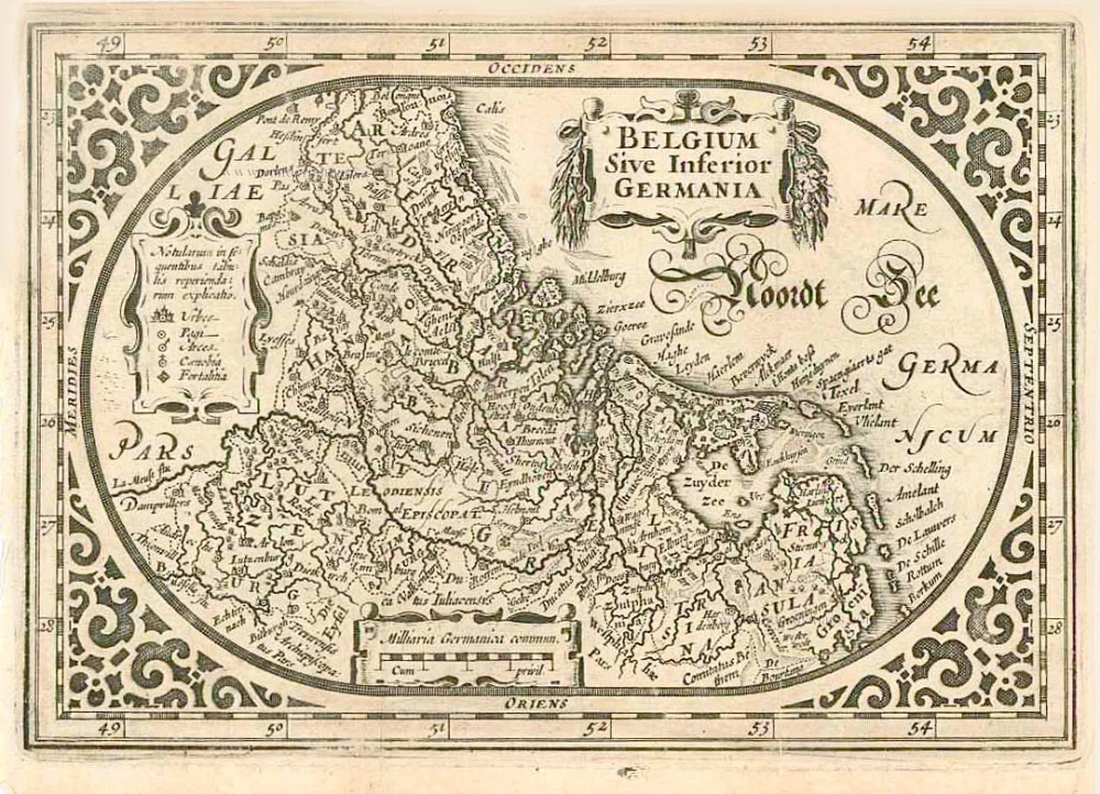
Belgium sive Inferior Germania. 1630
XVII Provinces, by A. Goos - J. Janssonius.
[Item number: 27988]
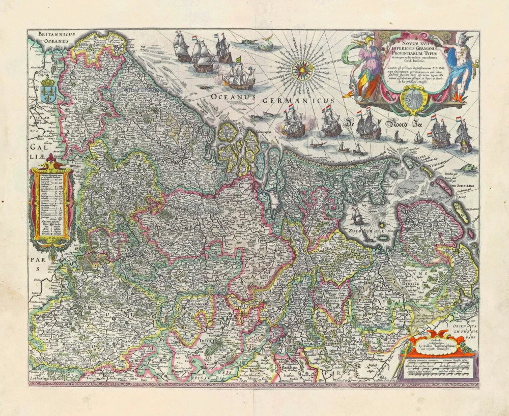
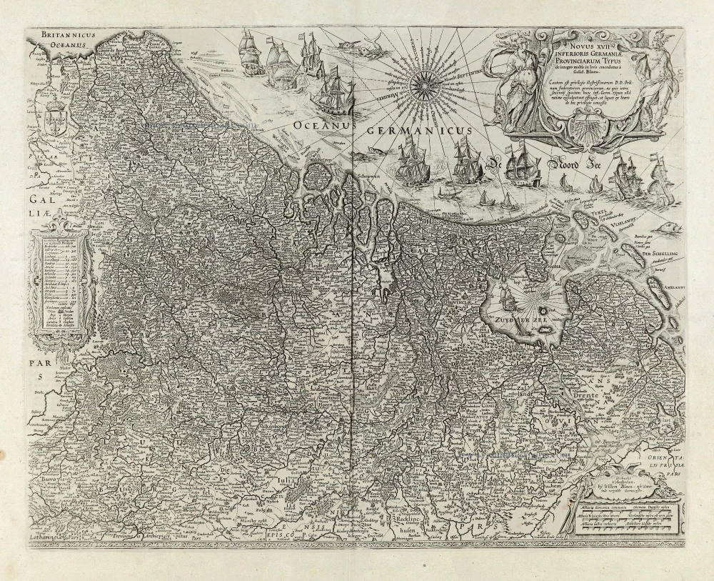
Novus XVII Inferioris Germaniae Provinciarum Typus. 1631
17 Provinces, by Willem Blaeu.
[Item number: 28019]
Very rare!
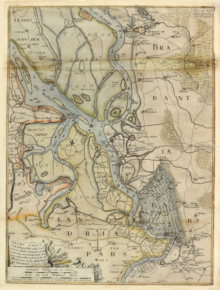
Nieuwe Caert Vande Ghelegentheijt vande Oost en Wester Schelde vertoonende ock de verdroncken overwaterde Lande nieu aengewaßen Schoren, eñ de kreeke oft killen in eñ door de selve tußche Bergen en Antwerpen soo het nu is. 1633. 1633
Schelde River (Antwerp), by Pieter Verbiest (Petrus Verbist).
[Item number: 28023]
Novus XVII Inferioris Germaniae Provinciarum Typus. 1664-65
17 Provinces, by Willem Blaeu.
[Item number: 28110]
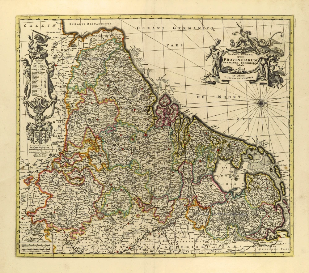
Novissima et accuratissima XVII provinciarum Germaniae Inferioris Tabula. c. 1715
17 Provinces, by Frederik de Wit, published by Covens & Mortier.
[Item number: 28284]
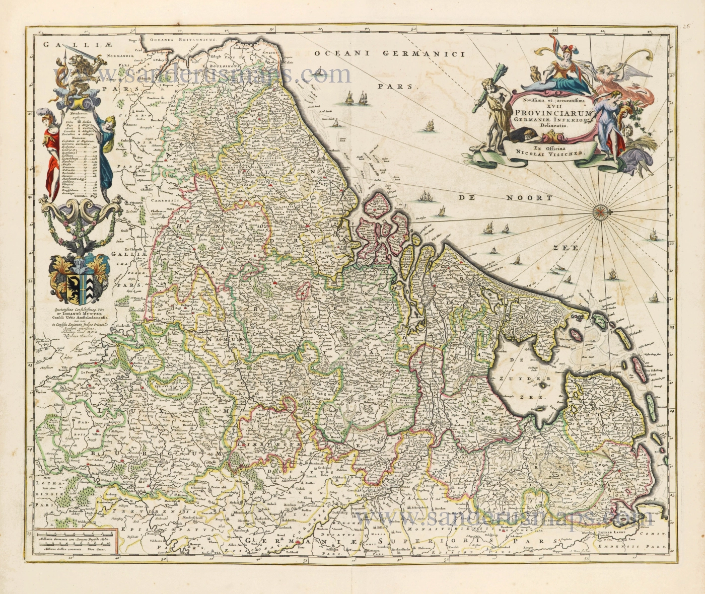
Novissima et accuratissima XVII Provinciarum Germaniae Inferioris Delineatio. c. 1656
Seventeen Provinces by Nicolaes Visscher I.
[Item number: 28539]

Descriptio Germaniae Inferioris. 1603
XVII Provinces by Abraham Ortelius.
[Item number: 28899]

Belgium seu Germania Inferior. 1594
The 17 Provinces, by Giovanni Magini.
[Item number: 28914]
In luxury colouring
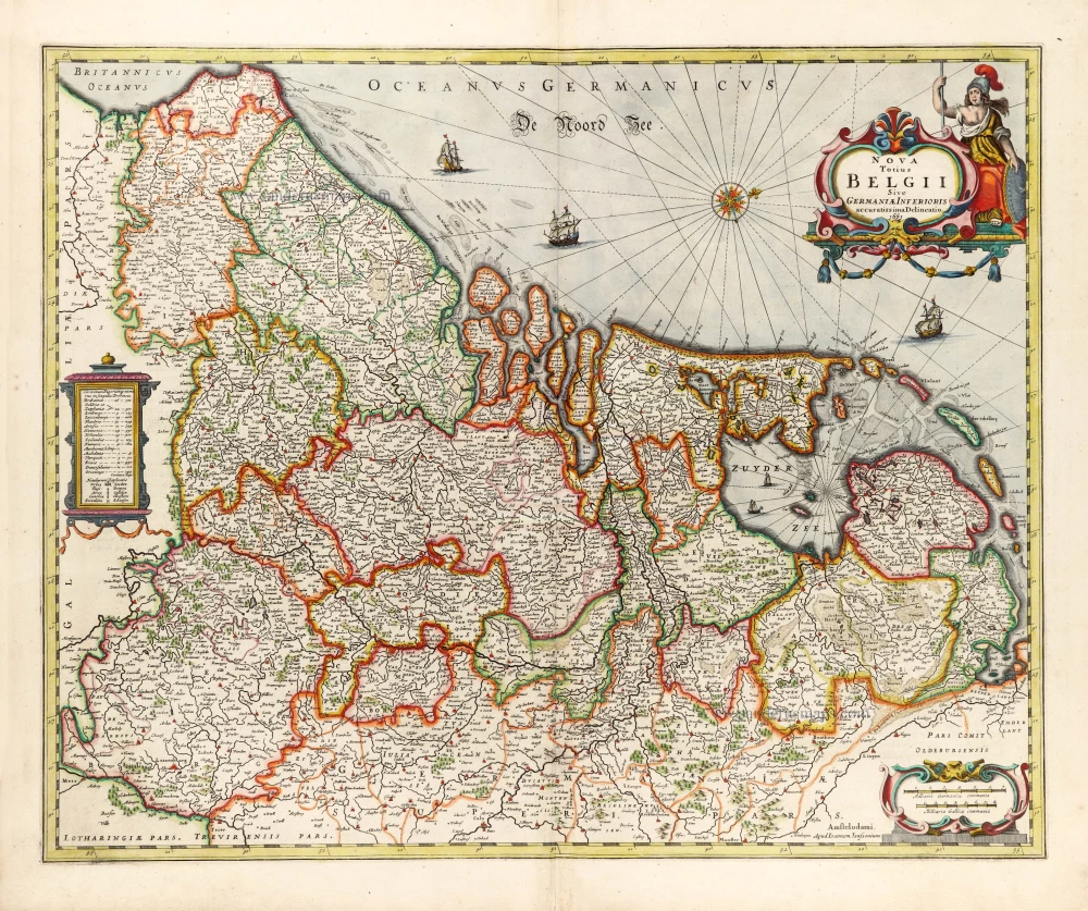
Nova Totius Belgii Sive Germaniae Inferioris. 1666
XVII Provinces (Low Countries) by Joannes Janssonius.
[Item number: 30079]
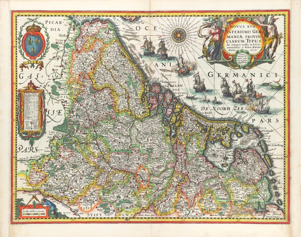
Novus XVII Inferioris Germaniae Provinciarum Typus. 1617
17 Provinces by Petrus Kaerius (Pieter Van den Keere).
[Item number: 30258]