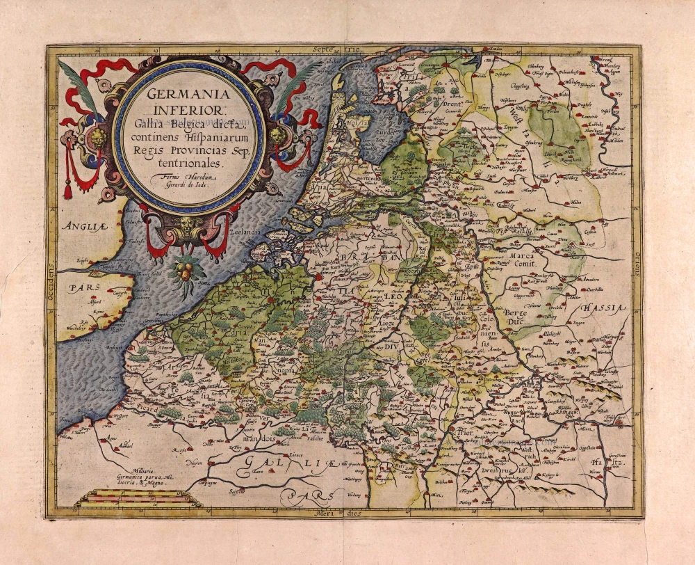
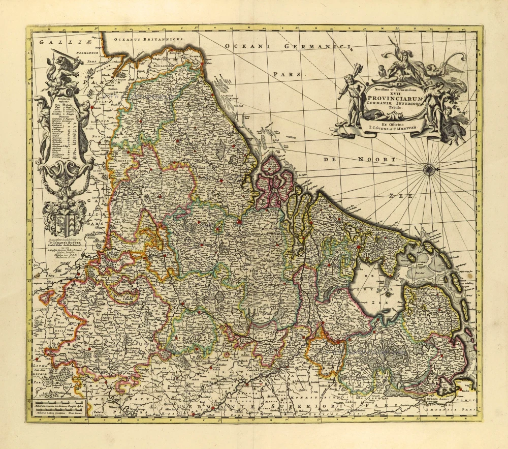
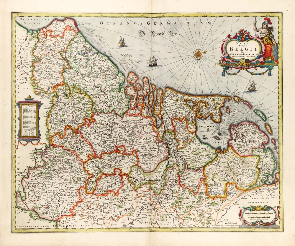
XVII Provinces, by A. Goos - J. Janssonius. 1630
Abraham Goos (c. 1590-1643)
Abraham Goos was active as a map engraver for the workshops of Claes Jansz Visscher and the Hondius family and engraved and published on his account. 1616 Goos published his Nieuw Nederlandtsch Caertboeck, a small atlas of the Seventeen Provinces, in 23 maps.
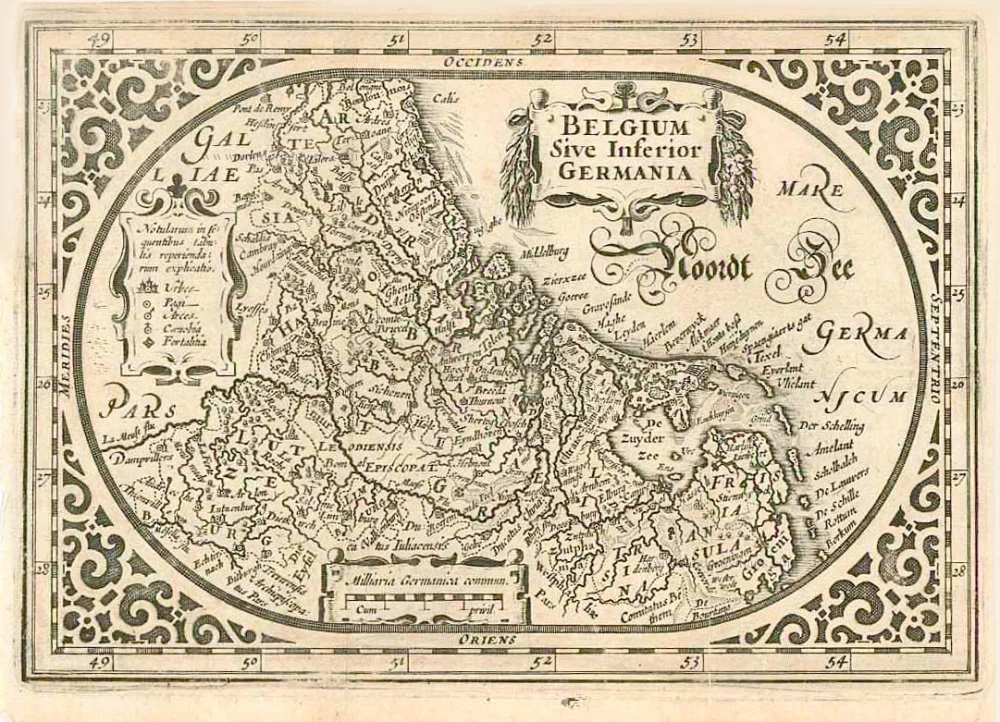
Belgium sive Inferior Germania.
Item Number: 27988 new Authenticity Guarantee
Category: Antique maps > Europe > The Low Countries
Old, antique map of the XVII Provinces, by A. Goos - J. Janssonius.
Title: Belgium sive Inferior Germania.
Cum privil.
Oriented to the west.
Date of the first edition: 1616.
Date of this map: 1631.
Copper engraving, printed on paper.
Size (not including margins): 120 x 175mm (4.72 x 6.89 inches).
Verso: German text.
Condition: Excellent.
Condition Rating: A+.
References: Van der Krogt 3, 3000:363; Van der Heijden (Netherlands), #77
From: A. Goos, Atlas Minor (German) . Amsterdam, J. Janssonius, 1631. (Van der Krogt 3, 352:31)
Abraham Goos (c. 1590-1643)
Abraham Goos was active as a map engraver for the workshops of Claes Jansz Visscher and the Hondius family and engraved and published on his account. 1616 Goos published his Nieuw Nederlandtsch Caertboeck, a small atlas of the Seventeen Provinces, in 23 maps.

