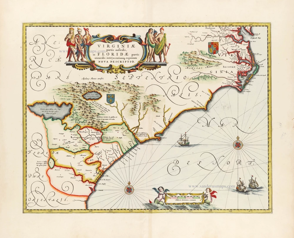
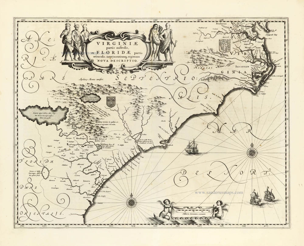
Very important Virginia map.
Joshua Fry & Peter Jefferson 1775
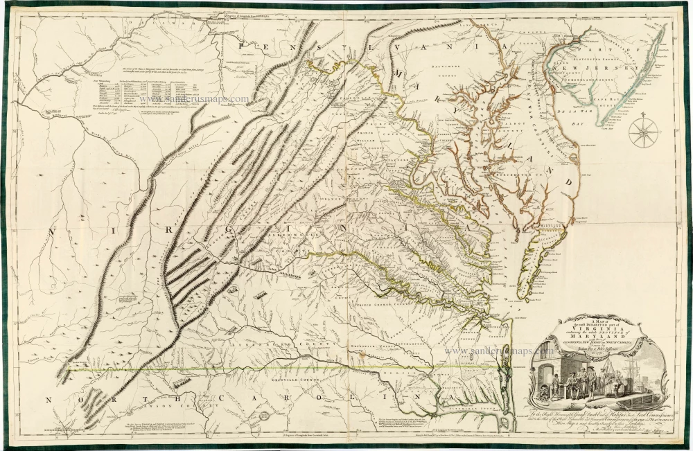
Joshua Fry, a mathematician at the College of William and Mary, and Peter Jefferson, Thomas Jefferson's father, drew this map in 1751. Still, it was not engraved and printed until later, presumably in 1754. Only two copies of the first state are known. Multiple derivatives of this map were produced until 1800. The revised 1755 edition is particularly impressive in the amount of detail shown in the Ohio Valley. A table of distances and the arteries of roads were extracted from a personal journal by John B. Dalrymple, captain of the Virginia Regiment. The information was incorporated into this edition. It is the first printed map to accurately depict the Blue Ridge Mountains and lay down Virginia's colonial road system. It shows parallel ridges and valleys in the Appalachian Mountain range in the correct direction. The cartouche at the lower right shows a Virginia wharf scene.
Thomas Jefferys (c. 1719-1771)
Thomas Jefferys was an outstanding English cartographer who was the leading map supplier of his day. He engraved and printed maps for government and other official bodies and produced a wide range of commercial maps and atlases. He made some of the finest maps of the time of North America and the West Indies.
He was appointed Geographer to the Prince of Wales and George II. However, in 1766, he became bankrupt and subsequently, the publication of his maps was managed by Robert Sayer, who in 1774 was joined in partnership by John Bennett and William Faden.
A Map of the Most Inhabited Part of Virginia Containing the Whole Province of Maryland with Part of Pensilvania, New Jersey and North Carolina.
Item Number: 28119 Authenticity Guarantee
Category: Antique maps > America > North America
Old, antique map of Maryland & Virginia, by Thomas Jefferys.
Title: A Map of the Most Inhabited Part of Virginia Containing the Whole Province of Maryland with Part of Pensilvania, New Jersey and North Carolina.
Drawn by Joshua Fry & Peter Jefferson in 1775.
Printed for Robt Sayer at N° 53 in Fleet Street, & Tho.s Jefferys at the Corner of St. Martins Lane, Charing Cross, London.
Dedicated to George Dunk Earl of Halifax ... by Thomas Jefferys.
Cartographer: Joshua Fry & Peter Jefferson.
Engraver: Thomas Jefferys.
State 6 of 8. The first four states are extremely rare and unobtainable.
Date of the first edition: 1754.
Date of this map: 1775.
Date on map: 1775.
This 1775 impression of the Fry-Jefferson map only differs from the previous edition in the date change from 1751 to 1775.
Copper engraving, printed on paper.
Size (not including margins): 780 x 1230mm (30.71 x 48.43 inches).
Verso: Blank.
Condition: Printed on 4 sheets, joined, edges reinforced with green silk, original coloured in outline, some reinforcements to folds at the back.
Condition Rating: A+.
References: Stephenson and McKee, Map II-21 A-D; Cumming, #449; Tooley (America), p. 104 #87f; Schwartz-Ehrenberg, pp. 157-158
From: Jefferys Thomas, The American Atlas. London, 1775.
Joshua Fry, a mathematician at the College of William and Mary, and Peter Jefferson, Thomas Jefferson's father, drew this map in 1751. Still, it was not engraved and printed until later, presumably in 1754. Only two copies of the first state are known. Multiple derivatives of this map were produced until 1800. The revised 1755 edition is particularly impressive in the amount of detail shown in the Ohio Valley. A table of distances and the arteries of roads were extracted from a personal journal by John B. Dalrymple, captain of the Virginia Regiment. The information was incorporated into this edition. It is the first printed map to accurately depict the Blue Ridge Mountains and lay down Virginia's colonial road system. It shows parallel ridges and valleys in the Appalachian Mountain range in the correct direction. The cartouche at the lower right shows a Virginia wharf scene.
Thomas Jefferys (c. 1719-1771)
Thomas Jefferys was an outstanding English cartographer who was the leading map supplier of his day. He engraved and printed maps for government and other official bodies and produced a wide range of commercial maps and atlases. He made some of the finest maps of the time of North America and the West Indies.
He was appointed Geographer to the Prince of Wales and George II. However, in 1766, he became bankrupt and subsequently, the publication of his maps was managed by Robert Sayer, who in 1774 was joined in partnership by John Bennett and William Faden.

