
New England & New York by J. Van Keulen. 1684
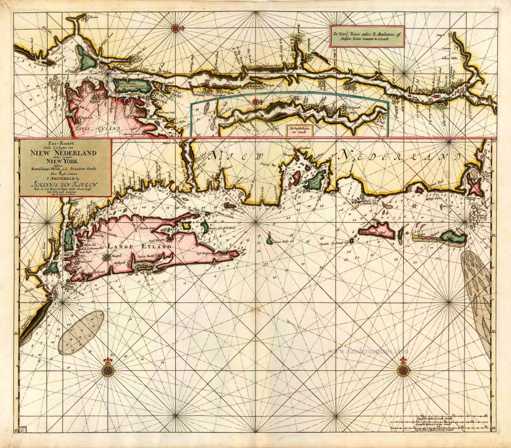
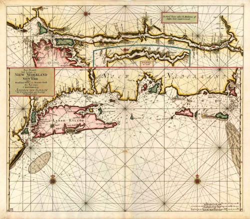
"This is only the second published engraved map focusing on this region, the extremely rare Arent Roggeveen of 1675 pre-dating it. It arguably represents the apogee of Dutch knowledge of the area, with many toponyms appearing for the first time. It also bears similarities to other van Keulen charts. The sources are unknown. Although the region is named both New Netherlands and New York, the city itself is unnamed. Nearby are many placenames, including some recognisable ones such as Konynen Eyl., Breukelen and further east on Long Island Heemsteden, Ooster Bay and Oost Hampton. Long Island is shorter and plumper than it should be.
The inset in the top third is the map's main claim to fame. It is the first engraved map devoted to the Hudson River, and it, too, introduces many new placenames. On the west side above Manhattan is Taphaan, further upriver Kats Kil, Middleburgh now Hudson, and t Greyn Bosch near Albany. Tucked in with it is a smaller inset map of the lower reaches of the Connecticut River called the Versche, or fresh, River. These are the first charts of any North American river. Unlike the Hudson River the Connecticut, although explored by Adriaen Block in 1614, and settled with a trading post near present-day Hartford in 1633, was dominated thereafter by the English. Four towns were established between 1635 and 1636, and all are recognisable, with Zee Brock at its mouth and Waters Veldt (Weathersfield), Hereford (Hartford) and Winser. All appeared on the Janssonius BELGII NOVI, 1651. All of the English nomenclature along the coast of New England can be found on English maps of the day. Although recognisable, Martin Wynards Eyland and Natoket are different in outline to any other Dutch cartographer, but no real improvement. Unlike the earlier Roggeveen, the nearby Elisabeth's Isles are depicted." (Burden)
The House of Van Keulen
For more than two centuries, the chart makers firm of Van Keulen was established in the house with the name of “De Gekroonde Lootsman” (The Crowned Pilot). In 1678, the founder of the firm, Johannes I Van Keulen (1634-1689), registered with the Amsterdam booksellers’ guild. He had enlisted the aid of the well-known Mathematical Practitioner Claas Janz Vooght in the preparation of his nautical publications. In 1680 he published the first edition of the Zee-Atlas with 40 charts, all issued for the first time. In the short period of four years, they produced the five volumes of the Nieuwe Groote Ligtende Zee-Fakkel (1681-85). His acquisition of the stock of the bookseller Hendrik Doncker was an essential factor in the development of the firm.
In 1678 a son, Gerard Van Keulen (1678-1726), was born out of Johannes’s first marriage. This son was endowed with talent. He was a skilful engraver and proficient in mathematics and navigational science. Gerard was responsible for establishing the scientific basis of the firm of Van Keulen. In 1714 he was appointed to the office of hydrographer to the Dutch East India Company. The Van Keulens remained chart makers to the East India Company until the Company’s liquidation.
With the introductions to the Zee-Fakkel and Zee-Atlas, Gerard van Keulen gave a new impetus to the firm. Unfortunately, he did not live long, dying when he was 49. The business was carried on by his widow Ludwina Konst. Shortly before Gerard’s death, his son Johannes II had entered the bookseller’s guild, and in 1726 he assumed the management of the firm, though his mother retained her financial interests in the business.
Johannes II Van Keulen (1704-1755) is known in particular for his publication in 1753 of a sixth volume of the Zee-Fakkel, the volume containing the charts of the route to the East Indies.
Johannes II had two sons; they joined the firm as partners in 1757. A considerable number of books appeared in the period 1778-1801. New issues of the Zee-Fakkel again saw the light. The firm flourished under different names until 1885.
Pas-Kaart vande Zee Kusten van Niew Nederland anders Genaamt Niew York tusschen Renselaars Hoek en de Staaten Hoek.
Item Number: 1622 Authenticity Guarantee
Category: Antique maps > America > North America
Old, antique sea chart of New York and New England by J. Van Keulen, with insets of the Hudson River and the Connecticut River.
Cartographer: C. J. Vooght
Date of the first edition: 1684
Date of this map: 1687
Copper engraving, printed on paper.
Size (not including margins): 51 x 58cm (19.9 x 22.6 inches)
Verso: Blank
Condition: Original coloured, excellent.
Condition Rating: A+
References: Burden, 590, State 2; Koeman, Keu (135); de Vries, p.206 (232).
From: De Nieuwe Groote Lightende Zee-Fakkel, 't Vierde Deel. ... Amsterdam, 1687. (Koeman, Keu 109B).
"This is only the second published engraved map focusing on this region, the extremely rare Arent Roggeveen of 1675 pre-dating it. It arguably represents the apogee of Dutch knowledge of the area, with many toponyms appearing for the first time. It also bears similarities to other van Keulen charts. The sources are unknown. Although the region is named both New Netherlands and New York, the city itself is unnamed. Nearby are many placenames, including some recognisable ones such as Konynen Eyl., Breukelen and further east on Long Island Heemsteden, Ooster Bay and Oost Hampton. Long Island is shorter and plumper than it should be.
The inset in the top third is the map's main claim to fame. It is the first engraved map devoted to the Hudson River, and it, too, introduces many new placenames. On the west side above Manhattan is Taphaan, further upriver Kats Kil, Middleburgh now Hudson, and t Greyn Bosch near Albany. Tucked in with it is a smaller inset map of the lower reaches of the Connecticut River called the Versche, or fresh, River. These are the first charts of any North American river. Unlike the Hudson River the Connecticut, although explored by Adriaen Block in 1614, and settled with a trading post near present-day Hartford in 1633, was dominated thereafter by the English. Four towns were established between 1635 and 1636, and all are recognisable, with Zee Brock at its mouth and Waters Veldt (Weathersfield), Hereford (Hartford) and Winser. All appeared on the Janssonius BELGII NOVI, 1651. All of the English nomenclature along the coast of New England can be found on English maps of the day. Although recognisable, Martin Wynards Eyland and Natoket are different in outline to any other Dutch cartographer, but no real improvement. Unlike the earlier Roggeveen, the nearby Elisabeth's Isles are depicted." (Burden)
The House of Van Keulen
For more than two centuries, the chart makers firm of Van Keulen was established in the house with the name of “De Gekroonde Lootsman” (The Crowned Pilot). In 1678, the founder of the firm, Johannes I Van Keulen (1634-1689), registered with the Amsterdam booksellers’ guild. He had enlisted the aid of the well-known Mathematical Practitioner Claas Janz Vooght in the preparation of his nautical publications. In 1680 he published the first edition of the Zee-Atlas with 40 charts, all issued for the first time. In the short period of four years, they produced the five volumes of the Nieuwe Groote Ligtende Zee-Fakkel (1681-85). His acquisition of the stock of the bookseller Hendrik Doncker was an essential factor in the development of the firm.
In 1678 a son, Gerard Van Keulen (1678-1726), was born out of Johannes’s first marriage. This son was endowed with talent. He was a skilful engraver and proficient in mathematics and navigational science. Gerard was responsible for establishing the scientific basis of the firm of Van Keulen. In 1714 he was appointed to the office of hydrographer to the Dutch East India Company. The Van Keulens remained chart makers to the East India Company until the Company’s liquidation.
With the introductions to the Zee-Fakkel and Zee-Atlas, Gerard van Keulen gave a new impetus to the firm. Unfortunately, he did not live long, dying when he was 49. The business was carried on by his widow Ludwina Konst. Shortly before Gerard’s death, his son Johannes II had entered the bookseller’s guild, and in 1726 he assumed the management of the firm, though his mother retained her financial interests in the business.
Johannes II Van Keulen (1704-1755) is known in particular for his publication in 1753 of a sixth volume of the Zee-Fakkel, the volume containing the charts of the route to the East Indies.
Johannes II had two sons; they joined the firm as partners in 1757. A considerable number of books appeared in the period 1778-1801. New issues of the Zee-Fakkel again saw the light. The firm flourished under different names until 1885.
Related items
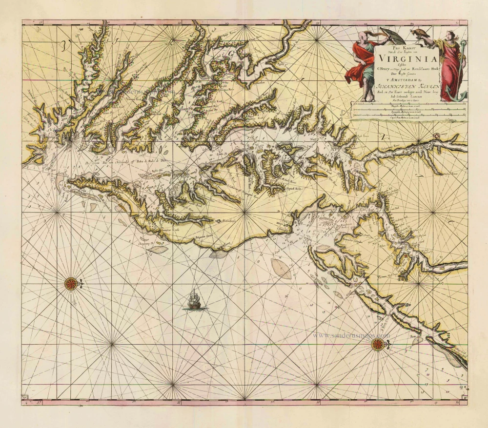
Pas Kaart van de Zee Kusten van Virginia tusschen C. Henry en t Hooge Land van Renselaars Hoek. 1702
Virginia by Johannes van Keulen
[Item number: 1332]
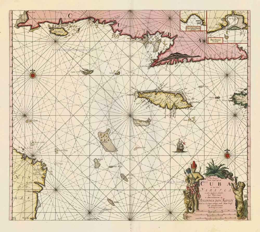
Pas Kaart vande Zuyd Kust van Cuba en van Geheel Yamaica en and're Bygeleegen Plaatsen ... 1697-1709
Cuba - Jamaica by Johannes van Keulen
[Item number: 11219]