
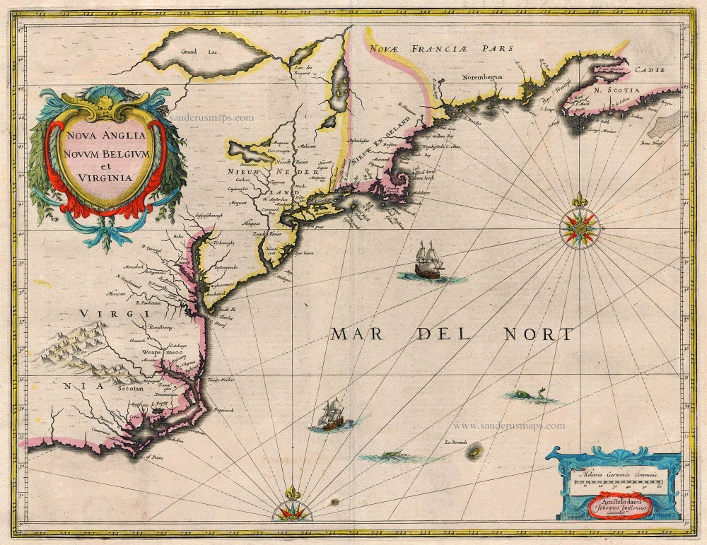
Old, antique map of the northeast of the U.S. with an inset view of New York ( c. 1684
The item displayed on this page has been sold. However, we have a similar map in stock:
New England by Nicolaes Visscher I. 1656-77
Novi Belgii novaeque Angliae nec non partis ...
[Item number: 28549]

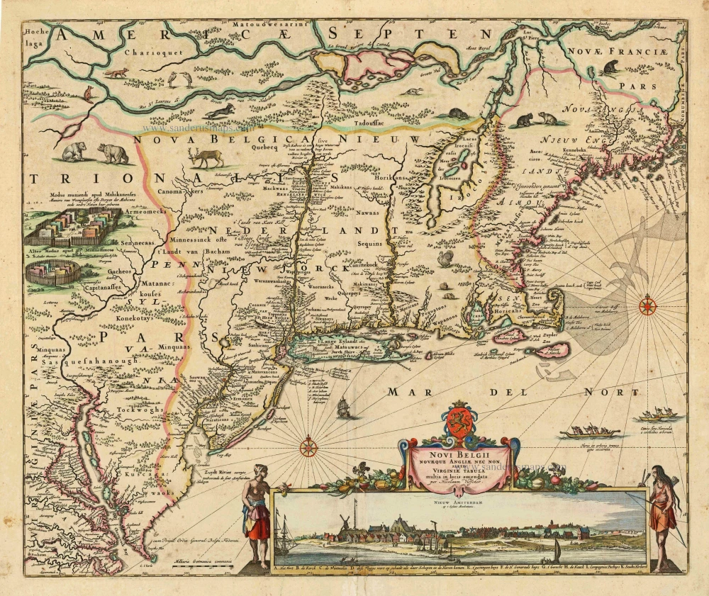


Novi Belgii novaeque Angliae nec non partis Virginiae Tabula
Item Number: 4188 Authenticity Guarantee
Category: Antique maps > America > North America
Old, antique map of the northeast of the U.S. with an inset view of New York ("Nieuw Amsterdam")
Date of the first edition: c. 1655
Date of this map: c. 1684
Copper engraving
Size: 46.5 x 55.5cm (18.1 x 21.6 inches)
Verso: Blank
Condition: Contemporary old coloured, small repair at lower centrefold.
Condition Rating: B+
References: Burden, 315, State 4; Baynton-Williams New Worlds, p.88.
From: Separate publication, appeared also in composite atlases.
"Although the map itself is largely derived from that of Joannes Janssonius, 1651, it is of extreme importance for introducing a view of New Amsterdam in the lower right. This is probably the second published view of the city, the first being that of Joost Hartgers in 1651. It is possible that the previously unrecorded view affixed to the Jan Mathisz, c.1655, also pre-dates this. The authorship of the Visscher view is not known, some authorities claim that it was Augustine Herrman, although Stokes refutes this. The extensive study of the view in Stokes suggests a probable date for the original of between autumn, 1652, and summer, 1653. If correctly identified the building far left was not constructed until after 30 April 1652. It could not have been drawn after the 'wall' was built in 1653. This was an important feature at the time in the security of the town. Therefore the printed map could have appeared as early as the end of 1653, but no later than 1655.
In 1679 Visscher died leaving his son, Nicolaas Visscher II, to continue the business. Late in 1683 Thomas Holme's grid plan of the town of Philadelphia was published. The following year a Dutch edition appeared by Jacob Claus. It was most probably following this that Visscher placed Philadelphia on the map in grid form. A privilege was added to the plate for the fourth state, which can be dated from as early as 1684 (Phillips 3449) to as late as 1696 (National Maritime Museum). States 2 to 4 are found in the various Visscher family atlases. The second state can be found inserted into examples of Blaeu and Janssonius atlases. Visscher II died in 1702, but the busines flourished under the guidance of his widow, Elizabeth, until her death in 1726. Sometime either before this, or following, the plate came into the hands of Petrus Schenk Jr., who promptly added his imprint." (Burden)
Related items
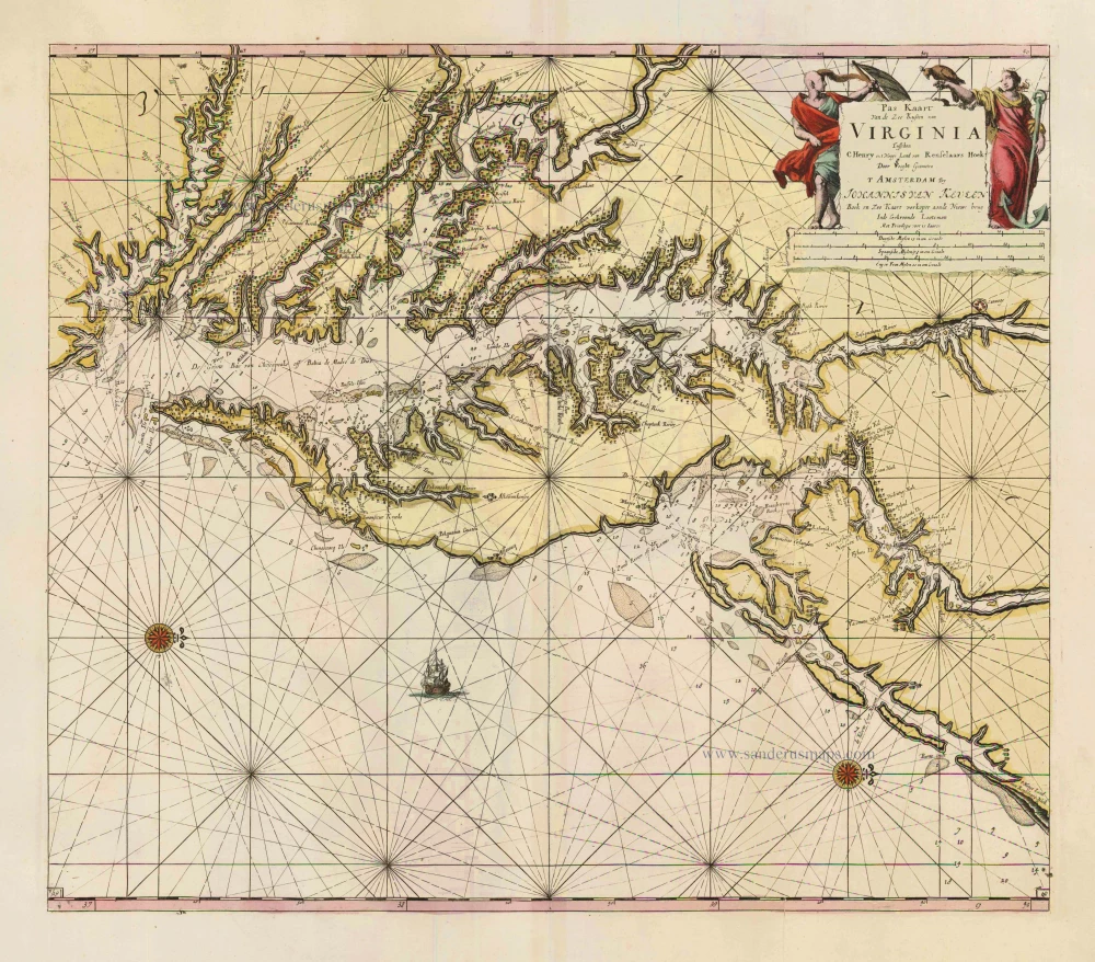
Pas Kaart van de Zee Kusten van Virginia tusschen C. Henry en t Hooge Land van Renselaars Hoek. 1702
Virginia by Johannes van Keulen
[Item number: 1332]
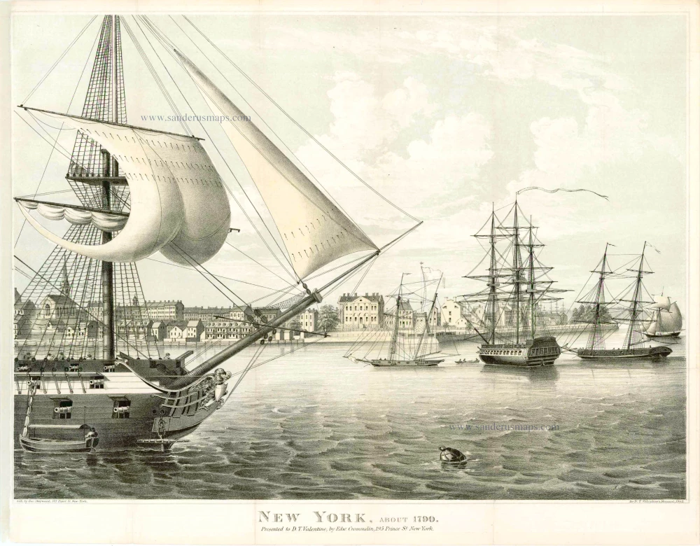
New York, about 1790. Presented to D.T. Valentine, by Edw. Crommelin, 195 Prince St. New York. 19e eeuw
New York, by G. Hayward for D.T. Valentine's Manuel, 1862.
[Item number: 4174]
Nova Anglia Novum Belgium et Virginia 1638
United States (Northeast) by Janssonius J.
[Item number: 19011]
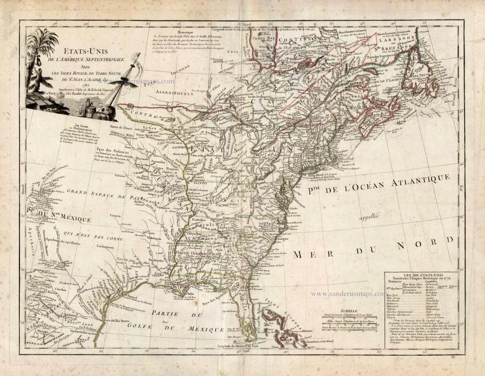
Etats-Unis de l'Amerique Septentrionale avec les Isles Royale, de Terre Neuve de St. Jean, l'Acadie &c. 1786
United States (East) by Boudet A. - de Vaugondy R.
[Item number: 25265]
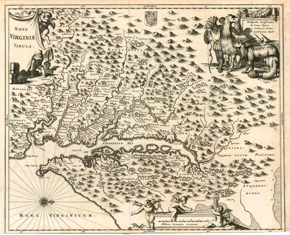
Nova Virginiae Tabula. 1671
Virginia, by A. Montanus.
[Item number: 25613]