
Important map.
Southern North America, by Nicolas Sanson. 1658

This important map of significant influence became the model for California's delineation for the next fifty years. In this map, Sanson changed the place names from French to Spanish and altered the island's shape, giving it an indented Northern Coastline. It improves upon Sanson's Amerique Septentrionale, 1650, in many ways. Amongst them is the first application of ERIE LAC to a recognisable lake. In 1643, Boisseau first named the lake Derie, applying the name to an indistinguishable one. It is here placed some 2.5 ° too far south, increasing the area claimed by the French. A solid French assertion is made in FLORIDE FRANCOISE, a French inactivity area for nearly 100 years.
The map was initially separately published while awaiting his planned atlas' preparation. The first appeared in 1658.
SANSON FAMILY
Nicolas Sanson (1600-1667) - Guillaume Sanson (1633-1703) - Pierre Moullart-Sanson (? -1730)
Originally from Abbeville, Nicolas I Sanson showed a keen interest in historical geography. He was still very young; he published a map of ancient Gaul and two treatises, Britannia and Portus Itius on Abbeville and Boulogne's origins. His meeting with Melchior Tavernier was decisive: it prompted him to give up his duties as a military engineer in Picardy and devote himself to engraved cartography.
At the same time, Sanson had drawn up the outline of modern France. He got the help of Tavernier, who encouraged him to compete with the Dutch map publishers. Tavernier contacted other French cartographers whose works he published.
From 1643, N. Sanson obtained a privilege to publish a work personally, the Princes souverains de l'Italie. Then, in 1644 and 1645, he had his famous geographical tables printed, which significantly contributed to his fame. He also published a series of atlases in quarto of the four continents.
In 1648, N. Sanson associated himself with Mariette to publish atlases. From then on, specific maps bore his name and others Mariette's. N. Sanson and Mariette worked together for more than 20 years. After the death of N. Sanson, Mariette acquired the entire fund. Since Mariette only wanted to publish complete atlases, individual maps were no longer sold, and some army generals complained to the king.
The disagreement between the Sanson family and Pierre II Mariette culminated in 1671 when Guillaume Sanson took the case to court. There was no longer any question of collaboration: Guillaume Sanson started working for another publisher, Alexis-Hubert Jaillot.
The Sanson family faced financial difficulties, and in 1692, their cousin, Pierre Moullart-Sanson, bought the entire geographic fund from his uncles and aunt. Pierre Moullart-Sanson was the son of Françoise Sanson (third child of Nicolas) and Pierre Moullart. He restarted the publishing of Sanson's world atlas, and in 1704 he acquired a privilege for publishing all the works of Nicolas and Guillaume Sanson, which continued to be published until 1730.
Pierre Mariette (1602-1658)
Bookseller, printseller, printer, and publisher, located in the Rue Saint-Jacques in Paris. On February 12, 1644, Pierre Mariette acquired most of Melchior Tavernier's fund. In 1646, he had a series of maps by Blaeu copied and asked Abraham Peyrounin to engrave them. In the meantime, he published the works of Nicolas Sanson. In 1650, he published the atlas Théâtre Géographique de France. A second edition followed in 1653. He later contributed to Sanson's atlas, the Cartes générales de toutes les parties du monde. Many maps of Mariette's Théatre appeared in later editions of Sanson's Cartes générales.
Le Nouveau Mexique, et la Floride:
Item Number: 27917 Authenticity Guarantee
Category: Antique maps > America > North America
Old, antique map of Southern North America, by Nicolas Sanson.
Title: Le Nouveau Mexique, et la Floride:
Tirees de diverses Cartes, et Relations.
Par N. Sanson d'Abbeville Geogr Ordre du Roy, pour vingt Ans.
Somer Sculp.
Engraver: Jean Somer.
Date of the first edition: 1656.
Date of this map: 1658.
Date on map: 1656.
Copper engraving, printed on paper.
Size (not including margins): 315 x 545mm (12.4 x 21.46 inches).
Verso: Blank.
Condition: Original coloured in outline, excellent.
Condition Rating: A+.
References: Burden, #319 1st state; Cumming, #49; McLaughlin, #17; Tooley (America) p. 115 #14; Wagner, p.128 & #374
From: Cartes generales de toutes les parties du monde, ou les empires, monarchies, republiques, estats, peuples,&c. le l'Asie, de l'Afrique, de l'Europe, & de l'Amerique, ... Par le Sieur d'Abbeville, A Paris, chez l'auteur, ... Et chez Pierre Mariette, M.DC.LVIII [1658]. (Pastoureau, Sanson V A 1658).
This important map of significant influence became the model for California's delineation for the next fifty years. In this map, Sanson changed the place names from French to Spanish and altered the island's shape, giving it an indented Northern Coastline. It improves upon Sanson's Amerique Septentrionale, 1650, in many ways. Amongst them is the first application of ERIE LAC to a recognisable lake. In 1643, Boisseau first named the lake Derie, applying the name to an indistinguishable one. It is here placed some 2.5 ° too far south, increasing the area claimed by the French. A solid French assertion is made in FLORIDE FRANCOISE, a French inactivity area for nearly 100 years.
The map was initially separately published while awaiting his planned atlas' preparation. The first appeared in 1658.
SANSON FAMILY
Nicolas Sanson (1600-1667) - Guillaume Sanson (1633-1703) - Pierre Moullart-Sanson (? -1730)
Originally from Abbeville, Nicolas I Sanson showed a keen interest in historical geography. He was still very young; he published a map of ancient Gaul and two treatises, Britannia and Portus Itius on Abbeville and Boulogne's origins. His meeting with Melchior Tavernier was decisive: it prompted him to give up his duties as a military engineer in Picardy and devote himself to engraved cartography.
At the same time, Sanson had drawn up the outline of modern France. He got the help of Tavernier, who encouraged him to compete with the Dutch map publishers. Tavernier contacted other French cartographers whose works he published.
From 1643, N. Sanson obtained a privilege to publish a work personally, the Princes souverains de l'Italie. Then, in 1644 and 1645, he had his famous geographical tables printed, which significantly contributed to his fame. He also published a series of atlases in quarto of the four continents.
In 1648, N. Sanson associated himself with Mariette to publish atlases. From then on, specific maps bore his name and others Mariette's. N. Sanson and Mariette worked together for more than 20 years. After the death of N. Sanson, Mariette acquired the entire fund. Since Mariette only wanted to publish complete atlases, individual maps were no longer sold, and some army generals complained to the king.
The disagreement between the Sanson family and Pierre II Mariette culminated in 1671 when Guillaume Sanson took the case to court. There was no longer any question of collaboration: Guillaume Sanson started working for another publisher, Alexis-Hubert Jaillot.
The Sanson family faced financial difficulties, and in 1692, their cousin, Pierre Moullart-Sanson, bought the entire geographic fund from his uncles and aunt. Pierre Moullart-Sanson was the son of Françoise Sanson (third child of Nicolas) and Pierre Moullart. He restarted the publishing of Sanson's world atlas, and in 1704 he acquired a privilege for publishing all the works of Nicolas and Guillaume Sanson, which continued to be published until 1730.
Pierre Mariette (1602-1658)
Bookseller, printseller, printer, and publisher, located in the Rue Saint-Jacques in Paris. On February 12, 1644, Pierre Mariette acquired most of Melchior Tavernier's fund. In 1646, he had a series of maps by Blaeu copied and asked Abraham Peyrounin to engrave them. In the meantime, he published the works of Nicolas Sanson. In 1650, he published the atlas Théâtre Géographique de France. A second edition followed in 1653. He later contributed to Sanson's atlas, the Cartes générales de toutes les parties du monde. Many maps of Mariette's Théatre appeared in later editions of Sanson's Cartes générales.
Related items

Amerique Septentrionale. 1748
North America by Robert de Vaugondy.
[Item number: 28157]
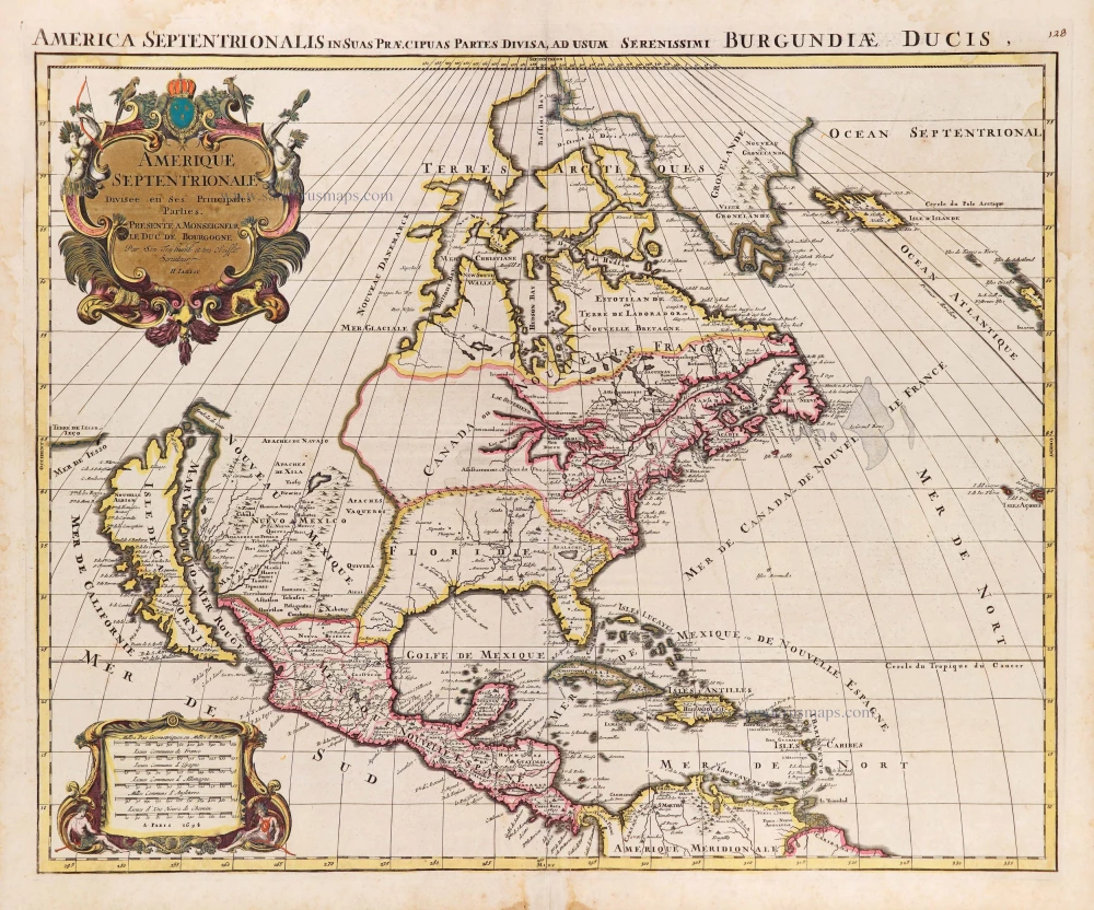
Amerique Septentrionale, Divisee en ses Principales Parties. 1694
North America, by Nicolas Sanson, published by Pierre Mortier after A.H. Jaillot.
[Item number: 29125]

Landmark map of North Amerika
Amerique Septentrionale. 1652
Nicolas Sanson's landmark map of North America, scarce second state.
[Item number: 29597]

California as an island.
L'Amerique Septentrionale qui fait partie des Indes Occidentales. 1719
North America by Chiquet Jacques.
[Item number: 30085]

California as an island.
Americque Septentrionale. 1715
North America by Nicolas Sanson, published by Nicolas Chemereau.
[Item number: 30086]

From 'Diderot & d'Alembert'
Carte de la Californie Suivant I. La Carte manuscrite de l'Amérique de Mathieu Néron Pecci olen dresses à Florence en 1604. II. Sanson 1656. III. De l'Isle Amérique Sept. 1700. IV. le Pere Kino Jesuite en 1705. V. la Société des Jésuites en 1767. 1777
California by Robert de Vaugondy.
[Item number: 30091]

Carte de la Partie de l'Amérique Septentrionale, comprenant les Possessions Espagnoles. 1788
North America by Louis Brion de la Tour.
[Item number: 30144]