
Old antique map of North America by Schrämbl F.A. 1788
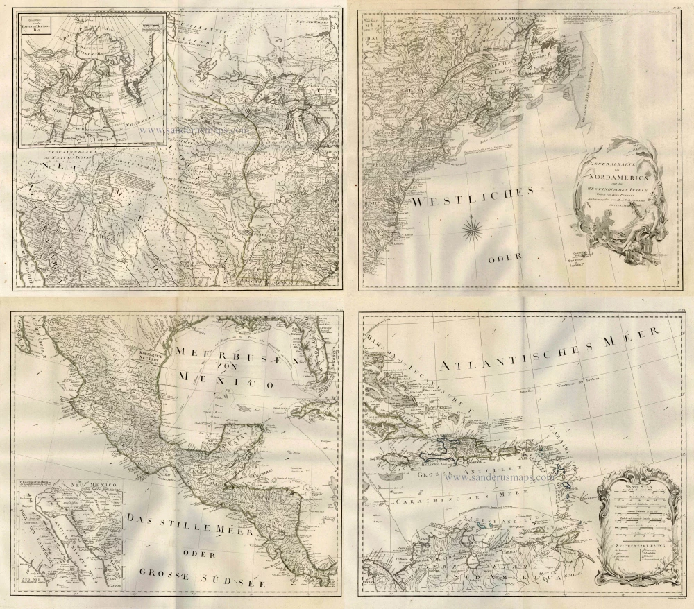
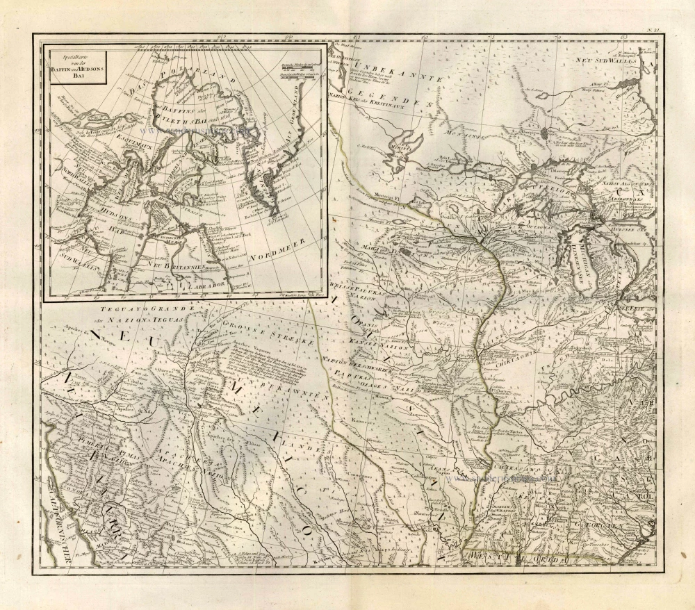
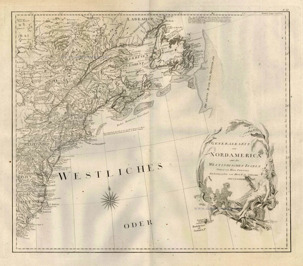
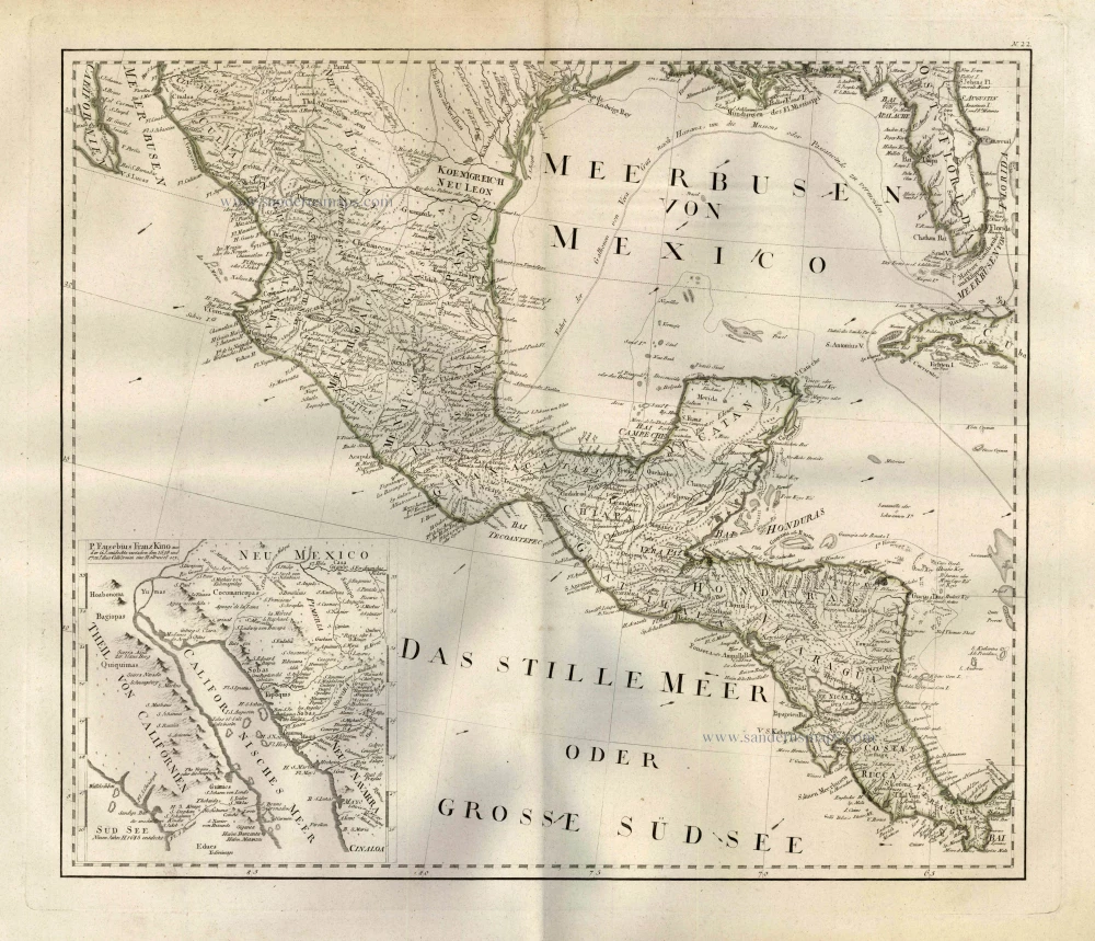
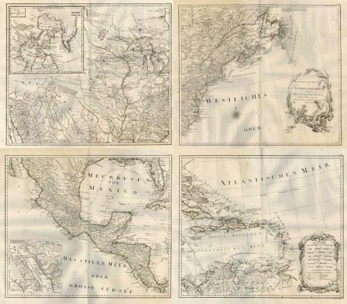


One of the largest depictions of North America made during the 18th century, based on Pownall's 1783 second state map, which showcases the former thirteen colonies as the newly independent United States of America.
Completion of Schrämbl's ambitious World Atlas, started in 1786, based on the best available sources of the time, was much delayed and the maps were issued piecemeal year by year until the whole atlas appeared in 1800.
General Karte von Nord America samt den Westindischen Inseln Verfasst von Herrn Pownall.
Item Number: 25239 Authenticity Guarantee
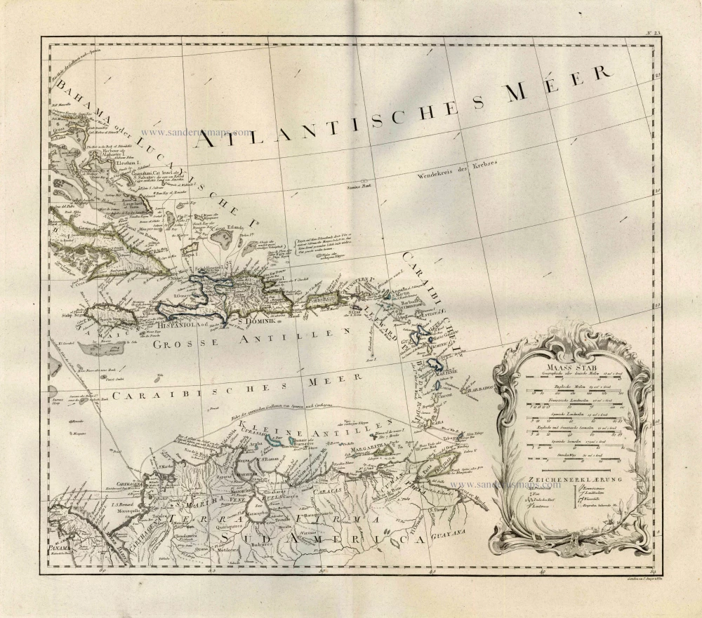
Category: Antique maps > America > West Indies
Old, antique map of North America by F.A. Schrämbl.
Printed on four sheets, not joined.
Insets: Baffin & Hudson Bay.
Engraver: J. Stenger.
Date of this map: 1788
Copper engraving
Approximate size when joined: 100 x 115cm (39 x 44.9 inches)
Verso: Blank
Condition: Excellent.
Condition Rating: A
References: Phillips (Atlases), 694-36; McCorkle, 788.6; Moreland-Bannister, p.88.
From: Allgemeiner grosser Atlass. Wien, P.J. Schalbacher, [1786]-1800.
One of the largest depictions of North America made during the 18th century, based on Pownall's 1783 second state map, which showcases the former thirteen colonies as the newly independent United States of America.
Completion of Schrämbl's ambitious World Atlas, started in 1786, based on the best available sources of the time, was much delayed and the maps were issued piecemeal year by year until the whole atlas appeared in 1800.
Related items
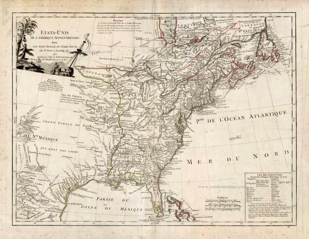
Etats-Unis de l'Amerique Septentrionale avec les Isles Royale, de Terre Neuve de St. Jean, l'Acadie &c. 1786
United States (East) by Boudet A. - de Vaugondy R.
[Item number: 25265]
Important map
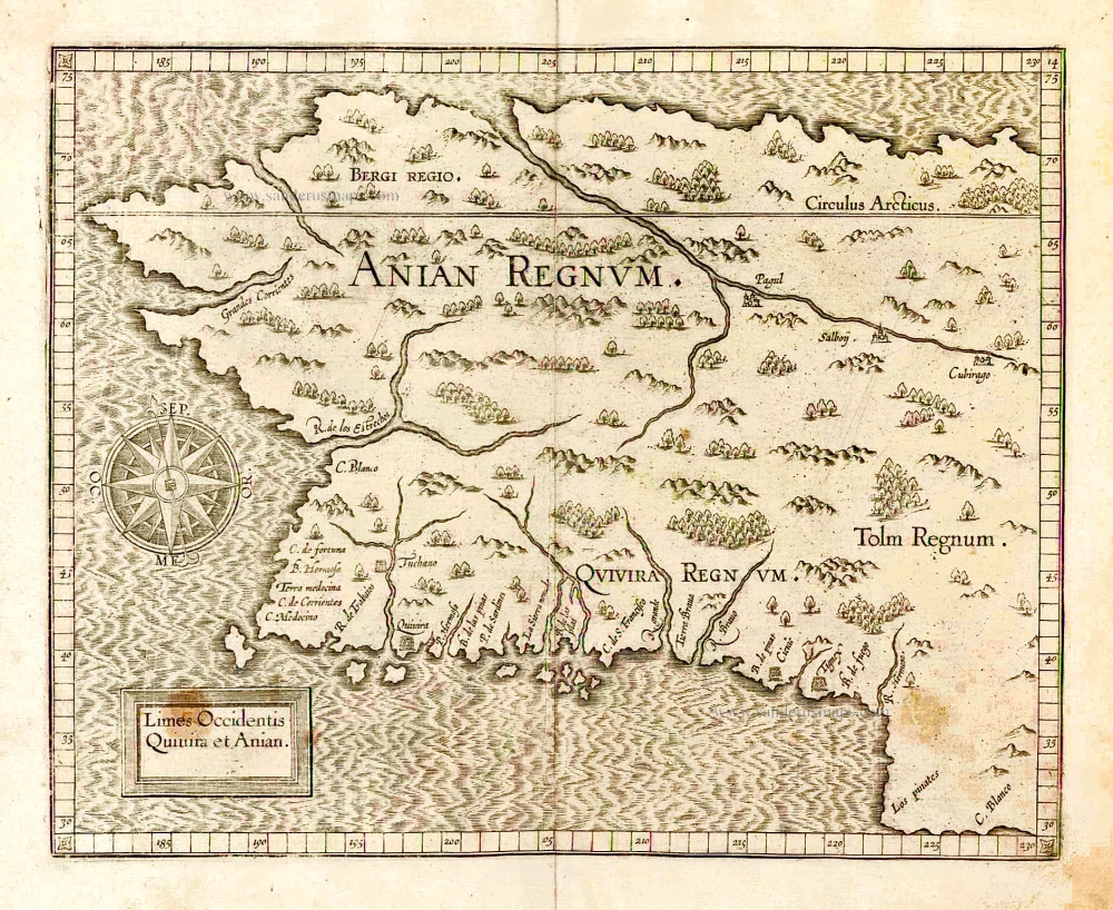
Limes Occidentis Quivira et Anian. 1607
West coast by Wytfliet, Cornelis van
[Item number: 26513]
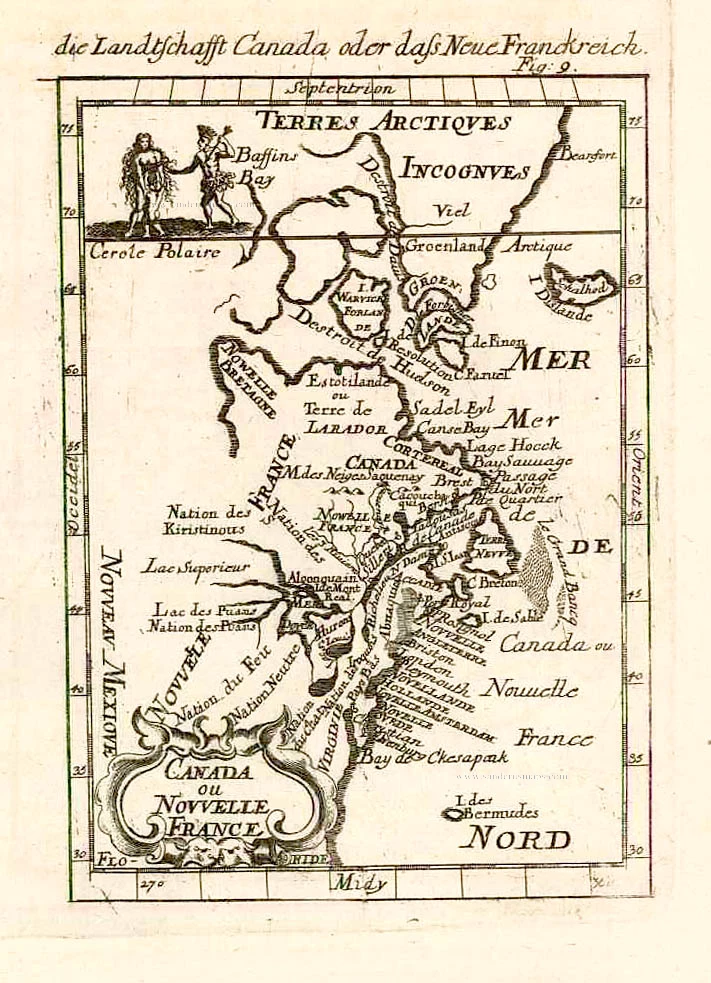
Canada ou Nouvelle France. 1685
North America (Northeast), by A.M. Mallet.
[Item number: 26601]
Amerique Septentrionale. 1685
North America, by A.M. Mallet.
[Item number: 26643]
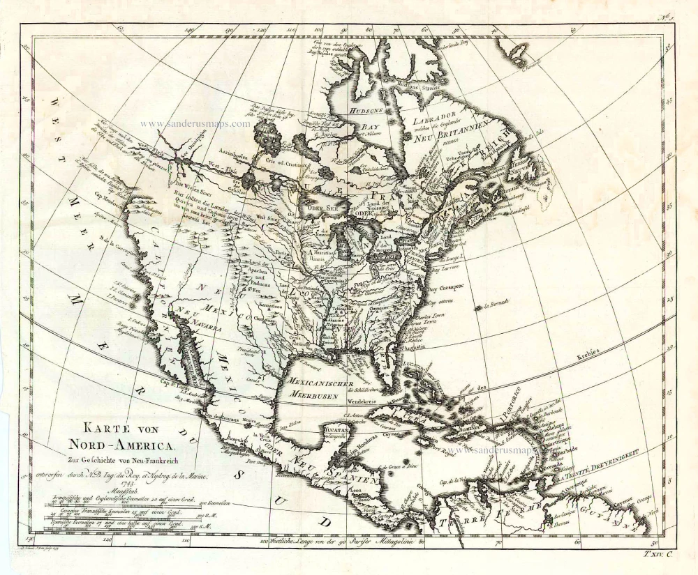
Karte von Nord-America, zur Geschichte von Neu-Frankreich. 1747-74
North America, by Jacques Nicolas Bellin.
[Item number: 26799]
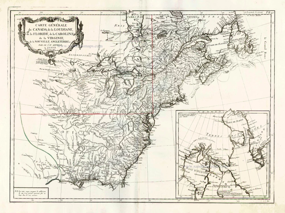
Carte Générale du Canada, de la Louisiane, de la Floride, de la Caroline, de la Virginie, de la Nouvelle Angleterre etc. 1776-79
North America (East), by Paolo Santini.
[Item number: 26980]
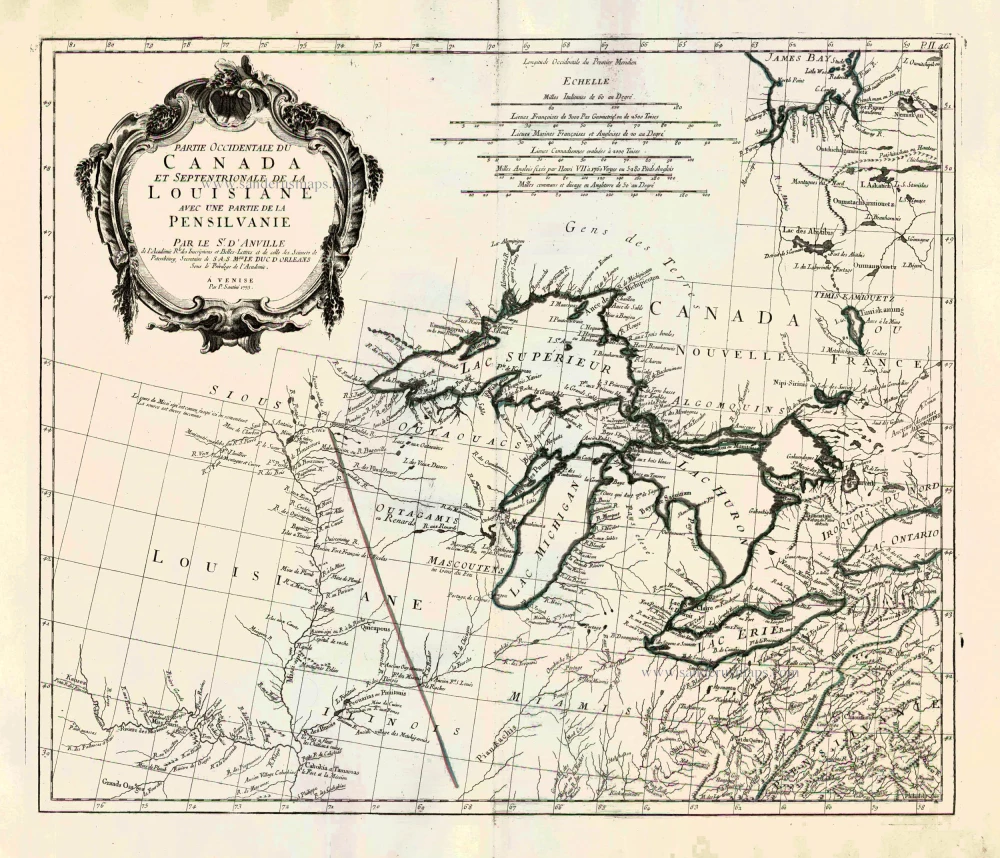
Partie Occidentale du Canada et Septentrionale de la Louisiane avec une Partie de la Pensilvani. 1776-79
Great Lakes, by Paolo Santini.
[Item number: 26981]