
Asia by Coronelli V.M. 1691
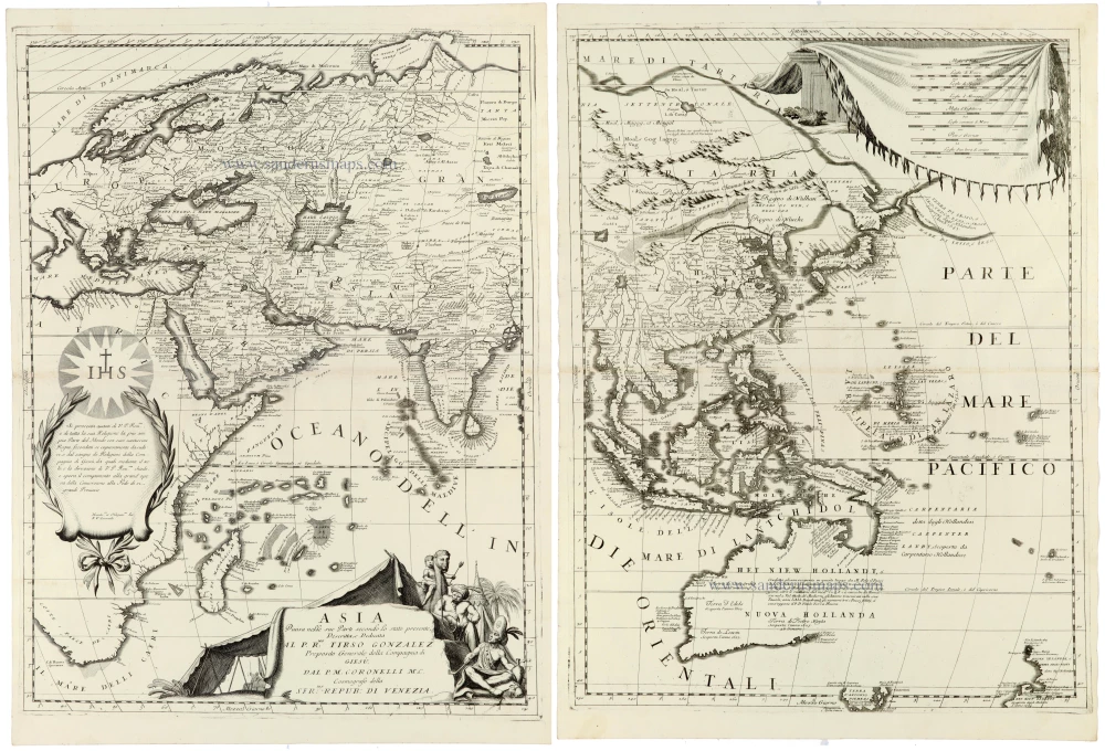
Engraved on two separate sheets, the map depicts the entire Asian continent, stretching from the eastern Mediterranean and the Arabian Peninsula to Japan and the Pacific Ocean, and south to the East Indies and Australia's northern coast.
The map is remarkable for its wealth of geographical detail, reflecting Europe's expanding knowledge of Asia in the late seventeenth century. Particular attention is given to China, India, Southeast Asia, and the Indonesian archipelago. At the same time, the vast interior of Central and Northern Asia is filled with numerous place names, rivers, mountain ranges, and geographical annotations.
The representation of the East Indies and Australia is especially interesting. The northern and western coastlines of Australia are shown according to the geographical discoveries of Dutch navigators, while substantial portions of the continent remained unexplored and consequently undefined.
The map is richly embellished with elaborate Baroque decorations. On the western sheet, an ornamental dedication cartouche features the radiant IHS monogram of the Society of Jesus, commemorating Coronelli's dedication to Tirso González de Santalla, Superior General of the Jesuit Order. A magnificent title cartouche in the lower portion of the sheet is adorned with allegorical figures, draperies, and decorative elements.
The eastern sheet features an elaborate depiction of a large ceremonial canopy in the upper right corner, while the Pacific Ocean is filled with islands, geographical annotations, and navigational information.
Coronelli's map is an outstanding example of late seventeenth-century Venetian cartography, combining geographical scholarship with the elaborate decorative engraving characteristic of the Baroque period.
Vincenzo Coronelli (1650-1718)
Vincenzo Coronelli was born in Venice on 16 August 1650 and primarily brought up in Ravenna. He returned to Venice in 1665 and joined the convent of the Minor Conventuals. Five years later, he was sent to Rome to study, and by 1673, he was already a doctor of theology.
Having achieved fame by constructing two globes for the Duke of Parma, he was invited to Paris for three years in 1681 and made two enormous examples for Louis XIV. On his return to Venice, he assiduously collected cartographic material and founded the Academy of the Argonauts. In 1685, he was appointed Cosmographer to the Republic of Venice and authorised to publish a large atlas. He became a geography lecturer at the University of Venice and brought out an Atlante Veneto the following year.
In 1696, he visited Germany, Holland and southern England. During intervals in compiling his vast encyclopaedia, he continued with cartographic projects up to 1709. He died in his native Venice on 9 December 1718.
Coronelli became famous for his globes. In addition, he was a renowned encyclopaedist, mapmaker and geographer. Most of his maps and other material are gathered in his Atlante Veneto (13 vols, 1690-1705). The first volume, subtitled Descrizione generale istorica geografica, was his masterpiece, planned as an extension of Blaeu’s atlas.
Other volumes of the atlas which contain maps are Isolario, two parts (1696-8), with detailed maps and plans, mostly of islands; Corso geografico, two parts based on the edition 1694-7; Libro de’ globi (1697); and Lo Specchio del Mare, a reprint of Levanto's Lo Specchio del Mare Mediterraneo of 1664.
The other vital aspects of his mapping are those arising from the Venetian conquest and his travels. His most extensive military compilation was the Teatro della Guerra, in more than 30 volumes.
Asia Divisa nelle sue Parti secondo lo stato presente,
Item Number: 33303 new Authenticity Guarantee
Category: Antique maps > Asia > Asia
Asia by Coronelli V.M.
Title: Asia Divisa nelle sue Parti secondo lo stato presente,
Descritta, e Dedicata al P. Rmo: Tierso Gonzalez Preposito Generale della Compagnia di Giesù, dal P.M. Coronelli M.C. Cosmografo della Ser:ma Repub: di Venezia.
Date of the first edition: 1691.
Date of this map: 1691.
Copper engravings, printed on paper, two double sheets, unjoined.
Image size each: 605 x 455mm (23¾ x 18 inches).
Sheet size each: 645 x 475mm (25½ x 18¾ inches).
Verso: Blank.
Condition: Excellent.
Condition Rating: A+.
From: Atlante Veneto, nel quale si contiene la descrittione... degl' Imperii, Regni, Provincie, e Stati dell' Universo. Venice: Girolamo Albrizzi, 1691. Shirley (Brit.Lib.), T.CORO-7a
Engraved on two separate sheets, the map depicts the entire Asian continent, stretching from the eastern Mediterranean and the Arabian Peninsula to Japan and the Pacific Ocean, and south to the East Indies and Australia's northern coast.
The map is remarkable for its wealth of geographical detail, reflecting Europe's expanding knowledge of Asia in the late seventeenth century. Particular attention is given to China, India, Southeast Asia, and the Indonesian archipelago. At the same time, the vast interior of Central and Northern Asia is filled with numerous place names, rivers, mountain ranges, and geographical annotations.
The representation of the East Indies and Australia is especially interesting. The northern and western coastlines of Australia are shown according to the geographical discoveries of Dutch navigators, while substantial portions of the continent remained unexplored and consequently undefined.
The map is richly embellished with elaborate Baroque decorations. On the western sheet, an ornamental dedication cartouche features the radiant IHS monogram of the Society of Jesus, commemorating Coronelli's dedication to Tirso González de Santalla, Superior General of the Jesuit Order. A magnificent title cartouche in the lower portion of the sheet is adorned with allegorical figures, draperies, and decorative elements.
The eastern sheet features an elaborate depiction of a large ceremonial canopy in the upper right corner, while the Pacific Ocean is filled with islands, geographical annotations, and navigational information.
Coronelli's map is an outstanding example of late seventeenth-century Venetian cartography, combining geographical scholarship with the elaborate decorative engraving characteristic of the Baroque period.
Vincenzo Coronelli (1650-1718)
Vincenzo Coronelli was born in Venice on 16 August 1650 and primarily brought up in Ravenna. He returned to Venice in 1665 and joined the convent of the Minor Conventuals. Five years later, he was sent to Rome to study, and by 1673, he was already a doctor of theology.
Having achieved fame by constructing two globes for the Duke of Parma, he was invited to Paris for three years in 1681 and made two enormous examples for Louis XIV. On his return to Venice, he assiduously collected cartographic material and founded the Academy of the Argonauts. In 1685, he was appointed Cosmographer to the Republic of Venice and authorised to publish a large atlas. He became a geography lecturer at the University of Venice and brought out an Atlante Veneto the following year.
In 1696, he visited Germany, Holland and southern England. During intervals in compiling his vast encyclopaedia, he continued with cartographic projects up to 1709. He died in his native Venice on 9 December 1718.
Coronelli became famous for his globes. In addition, he was a renowned encyclopaedist, mapmaker and geographer. Most of his maps and other material are gathered in his Atlante Veneto (13 vols, 1690-1705). The first volume, subtitled Descrizione generale istorica geografica, was his masterpiece, planned as an extension of Blaeu’s atlas.
Other volumes of the atlas which contain maps are Isolario, two parts (1696-8), with detailed maps and plans, mostly of islands; Corso geografico, two parts based on the edition 1694-7; Libro de’ globi (1697); and Lo Specchio del Mare, a reprint of Levanto's Lo Specchio del Mare Mediterraneo of 1664.
The other vital aspects of his mapping are those arising from the Venetian conquest and his travels. His most extensive military compilation was the Teatro della Guerra, in more than 30 volumes.
Related items

Accuratissima totius Asiae Tabula. c. 1691-96
Asia, by F. De Wit.
[Item number: 10960]

Exactissima Asiae Delineatio in praecipuas regiones Caeterasq Partes divisa. 1696-1713
Asia by Th. Danckerts.
[Item number: 11298]

Asia 1602
Asia by Langenes, published by Bertius P.
[Item number: 12518]
Asiae Nova Descriptio. 1612
Asia, by Abraham Ortelius.
[Item number: 22925]
Asia Recens Summa Cura Delineata. 1639
ASIA by Hondius H.
[Item number: 24473]

Asia qua Nulla Beatior Ora; Tractus in Eoos Vergens Mundique Teporem. c. 1730.
Asia, by G.& L. Valk.
[Item number: 24538]

Asia. 1597
Asia, by Giovanni Magini.
[Item number: 26548]
Spectacular map
L'Asie Selon les Nouvelles Observations de Messrs. de l'Academie des Sciences, etc. Before 1713
Asia, by François Halma.
[Item number: 27851]

Spectacular map
L'Asie divisée en ses Principales Regions, et ou se peut voir l'estendue Des Empites, Monarchies, Royaumes, et Estats qui partagent présentement L'Asie. c. 1705
Asia, by H. Jaillot, published by P. Mortier.
[Item number: 27858]
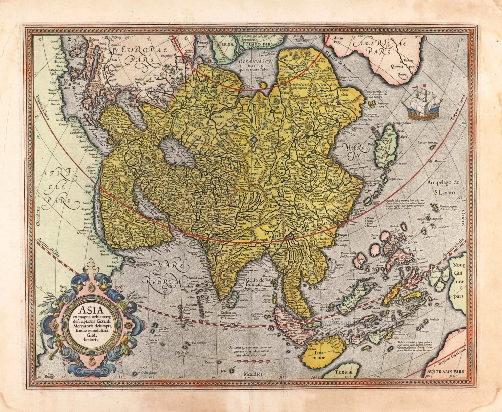
Asia ex magna orbis terre descriptione Gerardi Mercatoris desumpta studio et industria G.M. Iunioris. 1613
Asia, by Gerard Mercator.
[Item number: 28072]

Exactissima Asiae Delineatio in praecipuas regiones Caeterasq Partes divisa. 1696-1713
Asia by Justus Danckerts.
[Item number: 28169]

Asia Cum omnibus Imperiis Provinciis, Statibus et Insulis Iuxta Observationes receentissimas et Accuratissimas Correcta et Adornata. 1728
Asia by Matthäus Seutter.
[Item number: 30201]

Asia Antiqua cum finitimis Africae et Europae Regionibus. 1675
Antique map of Asia by Janssonius à Waesberghe -
[Item number: 30385]

La table de la region orientale, comprenant les derniered terres & royraumes d'Asie. 1568
Asia by Sebastian Munster.
[Item number: 30528]

L'Asie divisée en ses Principales Regions, et ou se peut voir l'estendue Des Empites, Monarchies, Royaumes, et Estats qui partagent présentement L'Asie. 1692
Asia, by N. Sanson, so-called published by Hubert Jaillot. (Pirated edition by Pierre Mortier).
[Item number: 31140]

Accuratissima totius Asiae Tabula Recens Emendata. c. 1688
Asia by Justus Danckerts after F. de Wit.
[Item number: 31792]
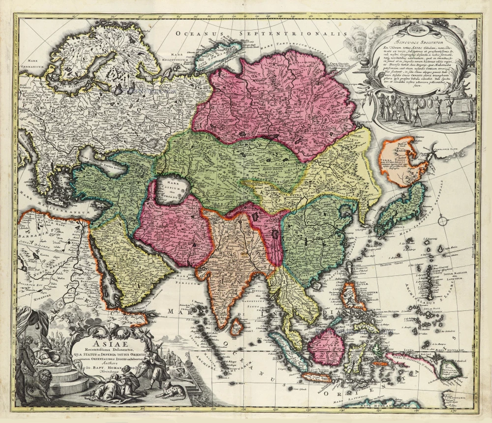
Asiae Recentissima Delineatio, Qua Status et Imperia Totius Orientis unacum Orientalibus Indiis exhibentur. 1712
Asia by J.B. Homann.
[Item number: 32096]

Asia Noviter Delineata. 1640
Asia, by Willem Blaeu.
[Item number: 32292]

Scarce
D'Oost-Indize Landschappen, Zeen en YEylanden, Door de Portugysen en anderen ondekt en bevaren. 1706
Asia by Pieter Van der Aa.
[Item number: 32319]
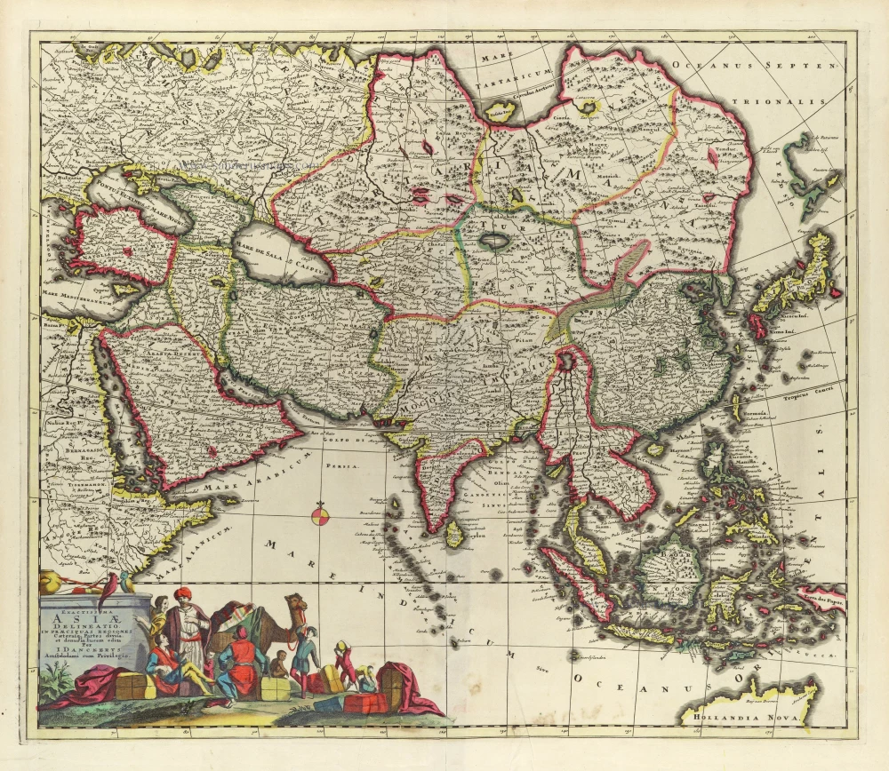
Exactissima Asiae Delineatio in praecipuas regiones Caeterasq Partes divisa. c. 1697
Asia by Th. Danckerts.
[Item number: 32458]
new
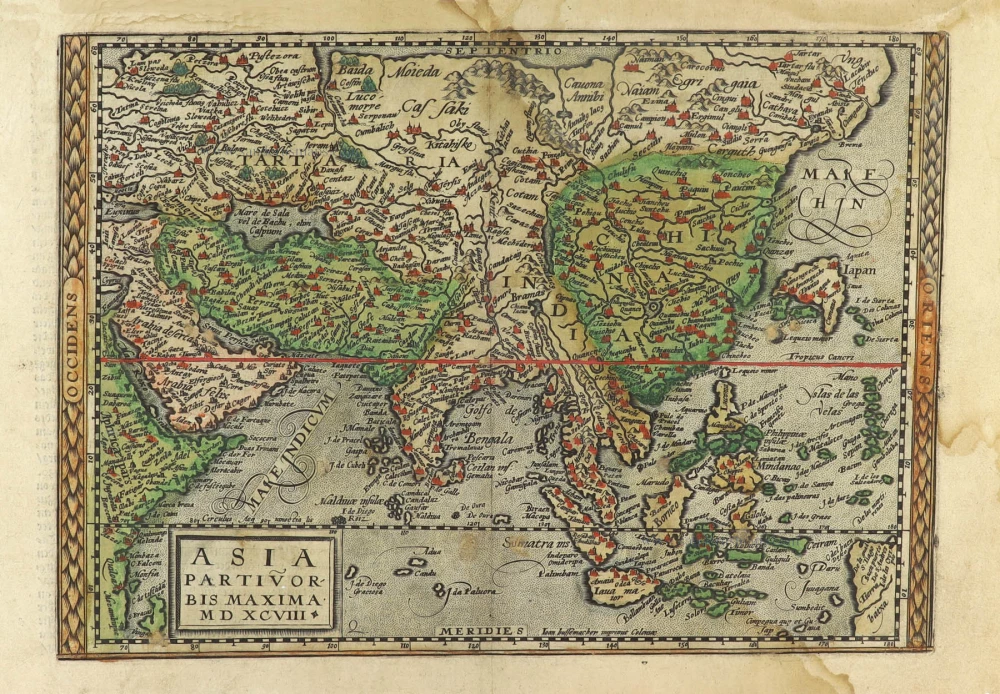
Asia Partiu Orbis Maxima MDXCVIII 1600
Asia by Matthias Quad, published by Johann Bussemacher.
[Item number: 32473]
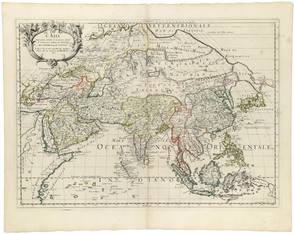
L' Asia 1677
Asia by Giovanni De Rossi, after Nicolas Sanson.
[Item number: 32887]

Asie 1659
Asia by Nicolas Sanson.
[Item number: 33216]
new