
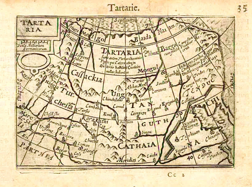
Tartary by Barent Langenes & Cornelis Claesz c. 1600
Barent Langenes ans his Caert-Thresoor
Barent Langenes, a Dutch bookseller and publisher of Middelburg (Zeeland), about whom little is known, was the first printer of the Caert-Thresoor (1598), a small-size atlas with an exciting history. This atlas had many editions in Dutch, Latin, French, and German, later brought out by Cornelis Claesz and Jodocus Hondius. Langenes was involved in the first two Dutch editions.
The Caert-Thresoor, is a collection of maps to which the text was adapted and not the reverse, as in the case with many geographical studies. The most exciting maps are those of the English and the Dutch in arctic waters, searching for the route to China (Northwest Passage). It records the departure of the third fleet of the Dutch in spring 1596, but not the return of survivors of this tragic voyage in August 1597. This atlas sets a new standard for minor atlases. Moreover, it was affordable to the citizens of the lowest income.
The text was rewritten, first by Petrus Bertius and reissued in 1600, secondly in 1609 by Jacobus Viverius. The edition with original basic text continued to be published until 1609, the year of Cornelis Claesz’s death.
Cornelis Claesz.
Printer and bookseller in Amsterdam, 1580-1609. He is famous for publishing maps, pilot guides, and atlases in the beginning period of the development of cartography in the northern Netherlands. He is noted for his co-operation with the cartographer Petrus Plancius and his editions of voyages. After 1590, the works of Lucas Jansz. He published Waghenaer, and in 1599, he acquired the publication rights of Barent Langenes’ Caert-thresoor.
Tartaria.
Item Number: 27000 Authenticity Guarantee
Category: Antique maps > Asia > Asia
Old, antique map of Tartary by Barent Langenes & Cornelis Claesz.
Title: Tartaria.
Date of the first edition: 1598.
Date of this map: c. 1600.
Copper engraving, printed on paper.
Image size: 85 x 125mm (3.35 x 4.92 inches).
Sheet size: 115 x 165mm (4.53 x 6.5 inches).
Verso: French text.
Condition: Excellent.
Condition Rating: A+.
From: Barent Langenes. Thrésor de Chartes. Den Haag, Albert Hendricks for Cornelis Claesz., c. 1600. (Van der Krogt 3, 341:11)
Barent Langenes ans his Caert-Thresoor
Barent Langenes, a Dutch bookseller and publisher of Middelburg (Zeeland), about whom little is known, was the first printer of the Caert-Thresoor (1598), a small-size atlas with an exciting history. This atlas had many editions in Dutch, Latin, French, and German, later brought out by Cornelis Claesz and Jodocus Hondius. Langenes was involved in the first two Dutch editions.
The Caert-Thresoor, is a collection of maps to which the text was adapted and not the reverse, as in the case with many geographical studies. The most exciting maps are those of the English and the Dutch in arctic waters, searching for the route to China (Northwest Passage). It records the departure of the third fleet of the Dutch in spring 1596, but not the return of survivors of this tragic voyage in August 1597. This atlas sets a new standard for minor atlases. Moreover, it was affordable to the citizens of the lowest income.
The text was rewritten, first by Petrus Bertius and reissued in 1600, secondly in 1609 by Jacobus Viverius. The edition with original basic text continued to be published until 1609, the year of Cornelis Claesz’s death.
Cornelis Claesz.
Printer and bookseller in Amsterdam, 1580-1609. He is famous for publishing maps, pilot guides, and atlases in the beginning period of the development of cartography in the northern Netherlands. He is noted for his co-operation with the cartographer Petrus Plancius and his editions of voyages. After 1590, the works of Lucas Jansz. He published Waghenaer, and in 1599, he acquired the publication rights of Barent Langenes’ Caert-thresoor.
Related items
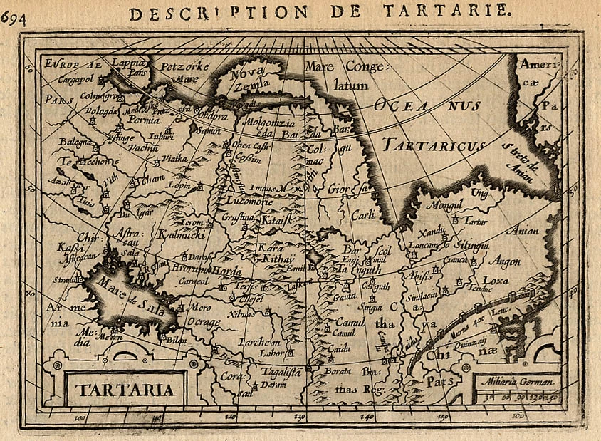
Tartaria. 1618
Tartary by Petrus Bertius
[Item number: 18290]

Carte de Tartarie Dressée sur les Relations de Plusieurs Voyageurs de Differentes Nations ... 1730
Tartary by Guillaume Delisle, published by Covens & Mortier.
[Item number: 25837]
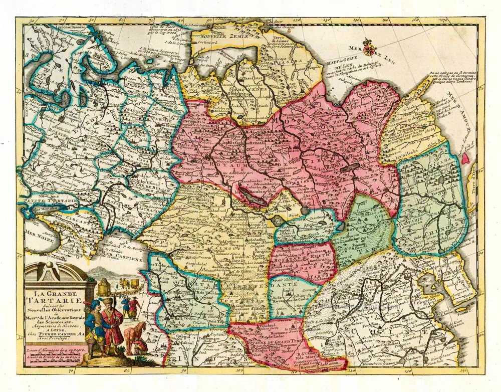
La Grande Tartarie. 1713
Tartary, by Pieter van der Aa.
[Item number: 26112]
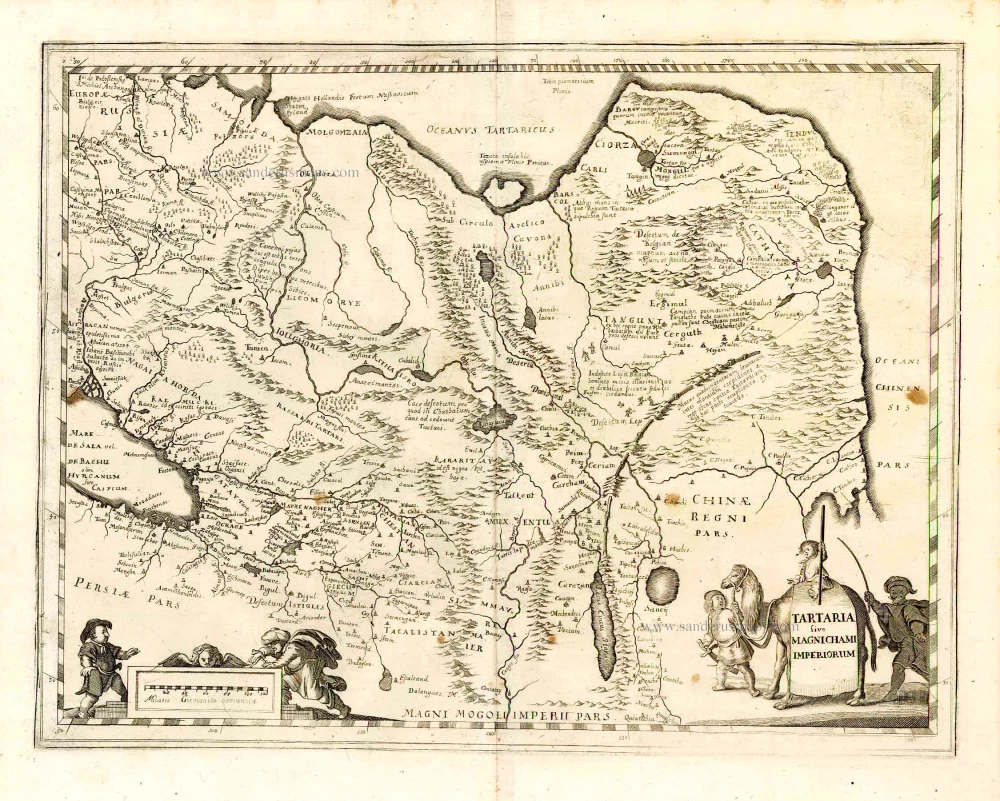
Tartaria sive Magnichami Imperiorum. 1638
Tartary, by M. Merian.
[Item number: 26616]
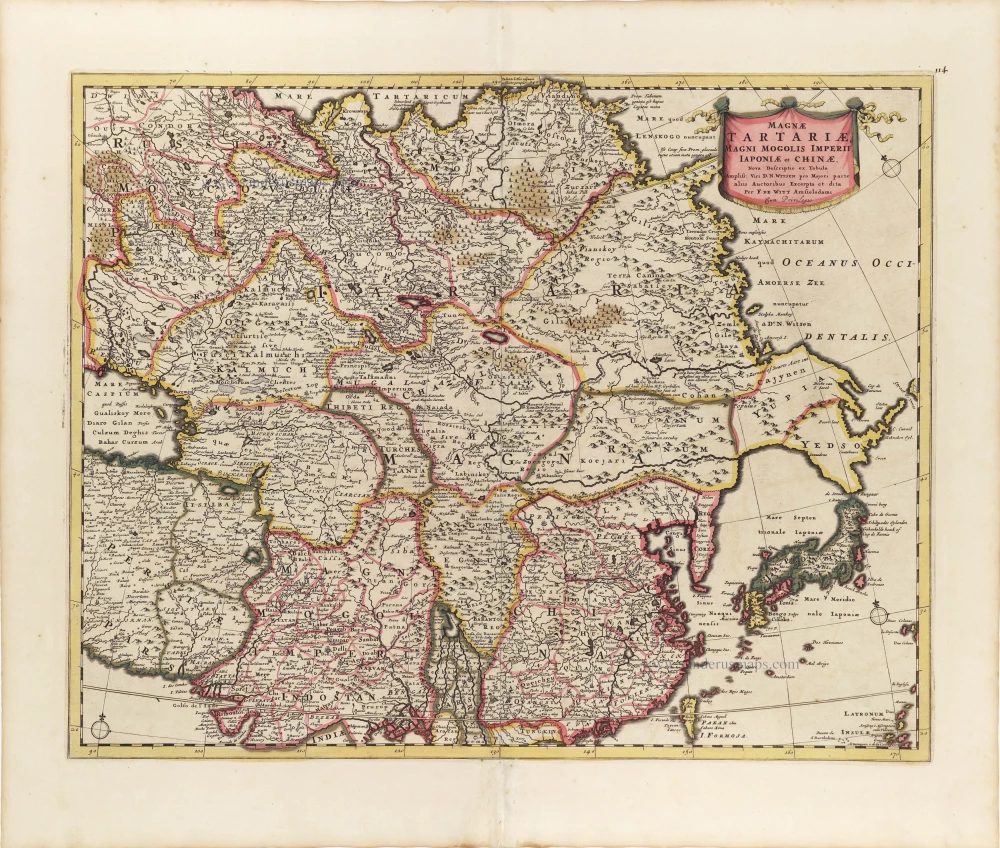
Magnae Tartariae, Magni Mogolis Imperii, Iaponiae et Chinae. ca. 1697-1707
Tartary, China, and Japan, by Frederick de Wit.
[Item number: 28996]
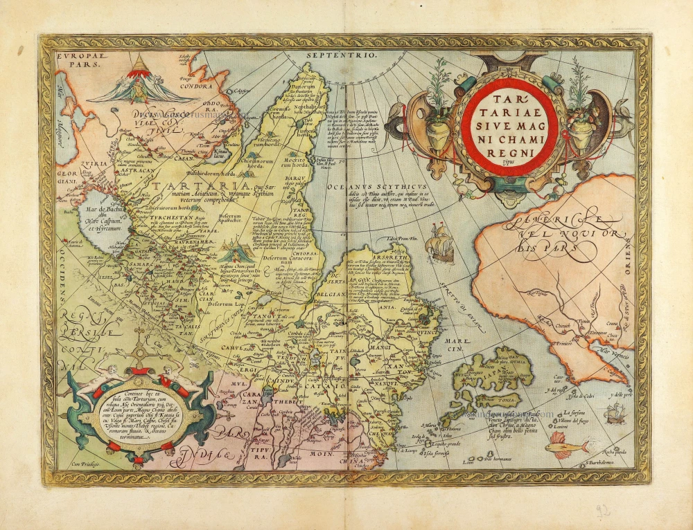
Tartariae Sive Magni Chami Regni Typus. 1584
Tartary, by Abraham Ortelius.
[Item number: 29224]
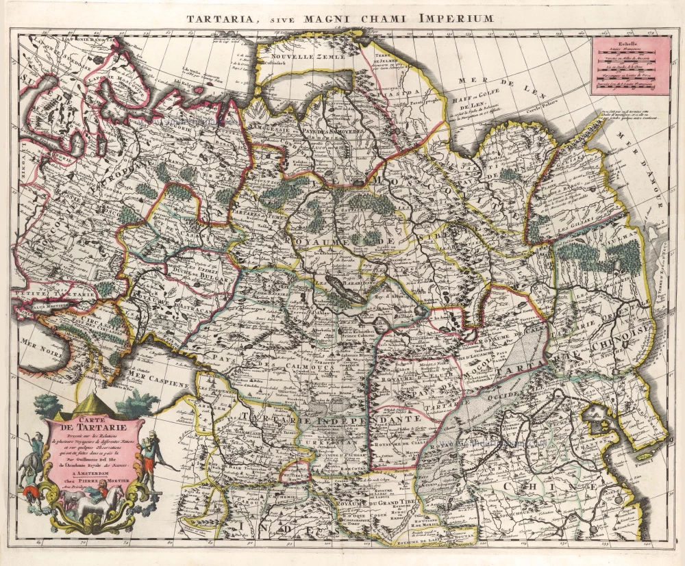
Carte de Tartarie 1700-1708
Tartary & Northern China by Guillaume Delisle, published by Pierre Mortier.
[Item number: 29616]