
Asiatic Russia, by Paolo Santini. 1776-79
Francesco and Paolo Santini (c.1729-1793)
Francesco Santini, a Venetian publisher, acquired the printing plates of Vaugondy’s Atlas Universel …, a commercial and cartographic success, with widespread influence on mapmakers throughout Europe. Together with his brother Paolo, he commissioned a new set of plates and reissued the atlas in 1776. The following year, Paolo Santini assigned all his publication rights to M. Remondini, who in 1777 reissued the same atlas but with his name.
Gilles and Didier Robert de Vaugondy
Gilles Robert de Vaugondy (1688-1766) and his son Didier Robert de Vaugondy (1723-1786) were leading cartographers in France during the 18th century. They served both as geographer to the king of France. The father, Gilles is also known as ‘Le Sieur’ or ‘Monsieur Robert’. He descended from the Nicolas Sanson family through Sanson's grandson Pierre Moulard-Sanson, from whom he inherited Sanson's cartographic material. After Hubert Jaillot died in 1712, the de Vaugondy's acquired numerous copies of his maps and plates, which formed the basis of their beautiful Atlas Universel (1757).
Their business flourished from 1731 to 1778. They made a substantial contribution to the world of cartography.
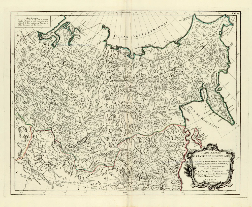
Partie orientale de l'Empire de Russie en Asie.
Item Number: 28095 Authenticity Guarantee
Category: Antique maps > Asia > Central Asia
Old, antique map of Asiatic Russia, by Paolo Santini.
Title: Partie orientale de l'Empire de Russie en Asie.
Où se trouvent les Provinces de Jakuckskoy, ... &c. et les Confins de la Tartarie Chinoise.
Dressée d'après les Cartes de l'Atlas Russien
Par le Sr Robert de Vaugondy.
A Venise, Par P. Santini | Chez Mr Remondini.
Cartographer: Robert de Vaugondy.
Copper engraving, printed on paper.
Size (not including margins): 475 x 585mm (18.7 x 23.03 inches).
Verso: Blank.
Condition: Original coloured in outline, excellent.
Condition Rating: A+.
From: Atlas Universel dressé sur les meilleures cartes modernes. Venice, Remondini, 1776-79.
Francesco and Paolo Santini (c.1729-1793)
Francesco Santini, a Venetian publisher, acquired the printing plates of Vaugondy’s Atlas Universel …, a commercial and cartographic success, with widespread influence on mapmakers throughout Europe. Together with his brother Paolo, he commissioned a new set of plates and reissued the atlas in 1776. The following year, Paolo Santini assigned all his publication rights to M. Remondini, who in 1777 reissued the same atlas but with his name.
Gilles and Didier Robert de Vaugondy
Gilles Robert de Vaugondy (1688-1766) and his son Didier Robert de Vaugondy (1723-1786) were leading cartographers in France during the 18th century. They served both as geographer to the king of France. The father, Gilles is also known as ‘Le Sieur’ or ‘Monsieur Robert’. He descended from the Nicolas Sanson family through Sanson's grandson Pierre Moulard-Sanson, from whom he inherited Sanson's cartographic material. After Hubert Jaillot died in 1712, the de Vaugondy's acquired numerous copies of his maps and plates, which formed the basis of their beautiful Atlas Universel (1757).
Their business flourished from 1731 to 1778. They made a substantial contribution to the world of cartography.
Related items
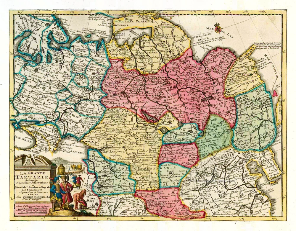
La Grande Tartarie. 1713
Tartary, by Pieter van der Aa.
[Item number: 26112]

Title on verso: Tabula .VIII. Asiae. 1525
Central Asia - Tartary, by Lorenz Fries.
[Item number: 27994]
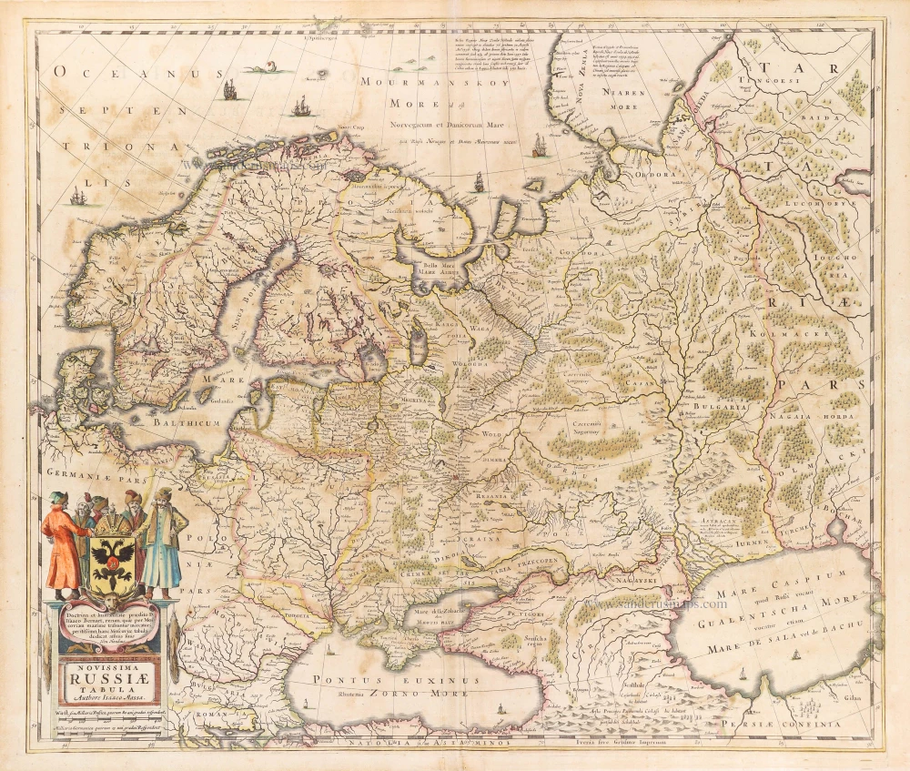
Novissima Russiae Tabula. 1639
Russia, by Henricus Hondius.
[Item number: 28811]

Nouvelle Carte de Moscovie où sont representés diferents Etats de sa Maiesté Czarienne en Europe et en Asie 1714
Russia, by Zacharias Châtelain.
[Item number: 29400]

Carte Générale des Etats du Czar Empereur de Moscovie, ou l'on voit ce que ce Prince possède en Europe et les Etats qu'il possède en Asie 1714
Russia, by Zacharias Châtelain.
[Item number: 29401]

Generalis totius Imperii Moscovitici Novissima Tabula Magnam Orbis terrarum pertem à Polo Articousq ad mare Iaponicum, et Chinae Septentrionalis confinia exhibens cum via Czaricae nuper legationis ex urbe Moscua per universam Tartariam ad magnu[m] Chinae Imperatorem. c. 1720
Russia, by J.B. Homann.
[Item number: 32194]

Tabula Russiae ex autographo, quod delineandum curavit Foedor filius Tzaris Boris desumta; . . . 1643
Russia by Willem & Joan Blaeu.
[Item number: 32266]
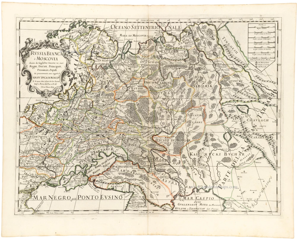
Russia Bianca o Moscovia 1687
Russia, by Giacomo Cantelli da Vignola, published by Giovanni de Rossi.
[Item number: 32918]