
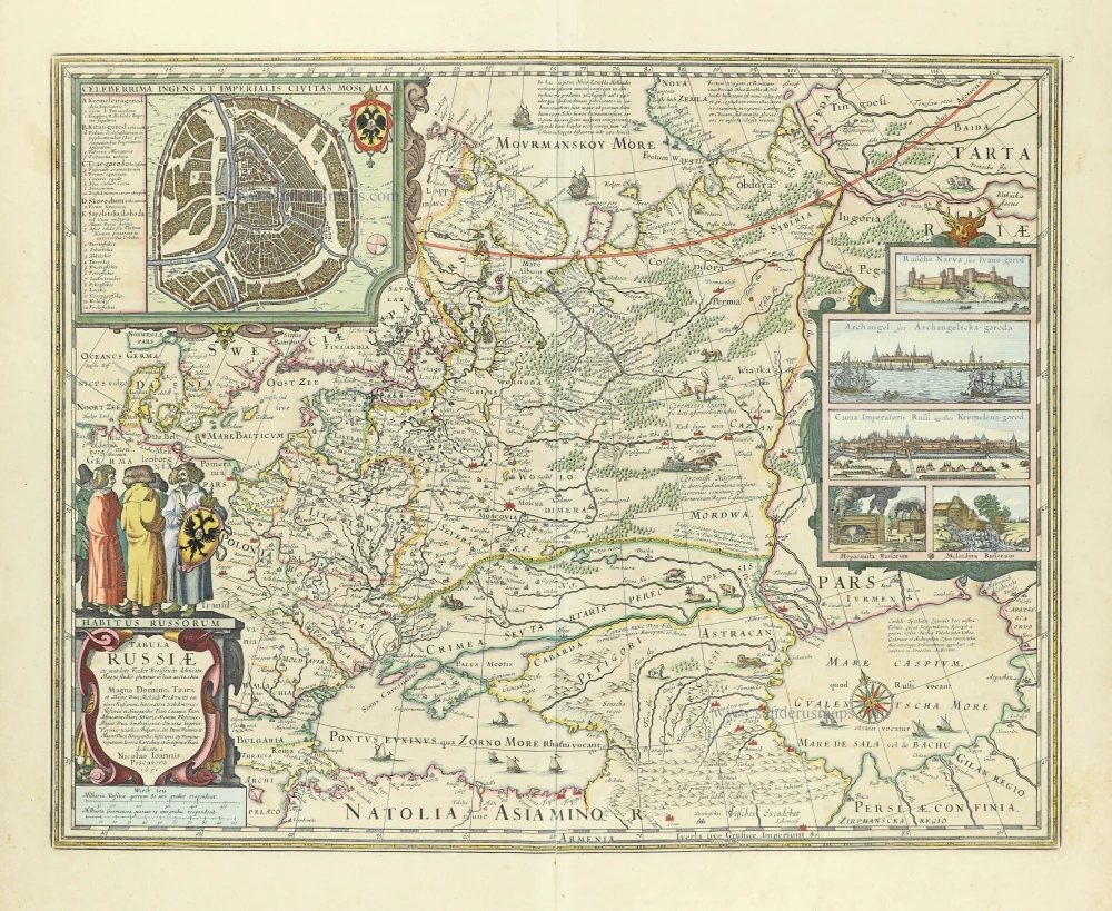
Russia, by J.B. Homann. c. 1720

The Homann Family: Masters of German Cartography and Publishing
The Homann family stands as one of the most significant names in the history of German cartography and publishing. Their maps, atlases, and geographic works not only shaped contemporary understanding of the world during the 18th century but also left an enduring legacy in the fields of geography, engraving, and scholarly publishing.
The family's prominence began with Johann Baptist Homann (1664–1724), a native of Oberkammlach in Bavaria. Initially trained in law and theology, Johann Baptist later turned to engraving and cartography — a field that was flourishing amid the Age of Discovery and the growing demand for precise geographic knowledge.
In 1702, he founded his own publishing house in Nürnberg, a city then renowned for its vibrant intellectual, artistic, and scientific community. Nuremberg’s rich tradition of printmaking and map production provided fertile ground for Homann's enterprise.
Johann Baptist Homann quickly rose to prominence as one of Germany’s leading cartographers and publishers. His works combined technical accuracy, artistic merit, and rich ornamentation, often embellished with elaborate cartouches, mythological scenes, and heraldic symbols.
In 1715, Homann was appointed Imperial Geographer to the Holy Roman Emperor Charles VI. He obtained the "Imperial Privilege" (Privilegium Imperialis). This prestigious title solidified his status and bestowed upon his publishing house both credibility and influence. His most famous works include:
- Atlas Novus Terrarum Orbis (1707) — an early and ambitious atlas project.
- Grosser Atlas über die ganze Welt (1716) — one of the most crucial German world atlases of the early 18th century.
Homann’s maps covered both European and global territories, including the Americas, Asia, and Africa, reflecting contemporary geographical knowledge and political boundaries.
The Homann Heirs (Homannische Erben)
After Johann Baptist Homann died in 1724, his son Johann Christoph Homann (1703–1730) briefly took over the business. However, Johann Christoph died at a young age, and the enterprise was then continued under the name Homännische Erben ("Homann Heirs"), a partnership of family members and associates.
Despite the loss of its founder, the firm remained highly productive and influential for several decades. The Homann Heirs continued to publish atlases, wall maps, city views, and geographical treatises well into the late 18th century. Their catalogue included works by noted cartographers such as Johann Matthias Hase, Leonhard Euler, and Tobias Conrad Lotter.
The Homann publishing house played a crucial role in disseminating geographic and scientific knowledge during the Enlightenment. Their maps combined artistry with empirical detail and were sought after by scholars, navigators, governments, and collectors.
Several of their works are now prized as valuable historical artefacts, housed in museums, libraries, and private collections around the world. The Homann Heirs' firm gradually declined by the end of the 18th century, overtaken by newer publishing houses and changing technologies, but their contribution to the cartographic tradition remains significant.
The Homann family’s name is indelibly linked to the golden age of German cartography. Through meticulous craftsmanship and a keen sense of visual storytelling, they charted the known world of their time, leaving a remarkable record of early modern geography. Today, their maps not only inform historians of cartography but also captivate collectors and enthusiasts for their aesthetic beauty and historical value.
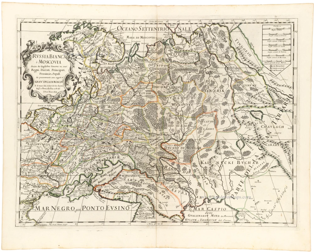
Generalis totius Imperii Moscovitici Novissima Tabula Magnam Orbis terrarum pertem à Polo Articousq ad mare Iaponicum, et Chinae Septentrionalis confinia exhibens cum via Czaricae nuper legationis ex urbe Moscua per universam Tartariam ad magnu[m] Chinae Imperatorem.
Item Number: 32194 Authenticity Guarantee
Category: Antique maps > Asia > Holy Land
Russia, by J.B. Homann.
Title: Generalis totius Imperii Moscovitici Novissima Tabula Magnam Orbis terrarum pertem à Polo Articousq ad mare Iaponicum, et Chinae Septentrionalis confinia exhibens cum via Czaricae nuper legationis ex urbe Moscua per universam Tartariam ad magnu[m] Chinae Imperatorem.
ex conatibus Iohannis Baptitae Homanni Norimbergae.
Date of the first edition: 1707.
Date of this map: c. 1720.
Copper engraving, printed on paper.
Image size: 485 x 570mm (19 x 22½ inches).
Sheet size: 520 x 595mm (20½ x 23½ inches).
Verso: Blank.
Condition: Original coloured, sharp impression, a few small printer's creases.
Condition Rating: A.
From: Atlas Novus Terrarum Orbis Imperia, regna et status exactis tabulis geographice demonstrans. Nuremberg, J.B. Homann, [c. 1720].
The Homann Family: Masters of German Cartography and Publishing
The Homann family stands as one of the most significant names in the history of German cartography and publishing. Their maps, atlases, and geographic works not only shaped contemporary understanding of the world during the 18th century but also left an enduring legacy in the fields of geography, engraving, and scholarly publishing.
The family's prominence began with Johann Baptist Homann (1664–1724), a native of Oberkammlach in Bavaria. Initially trained in law and theology, Johann Baptist later turned to engraving and cartography — a field that was flourishing amid the Age of Discovery and the growing demand for precise geographic knowledge.
In 1702, he founded his own publishing house in Nürnberg, a city then renowned for its vibrant intellectual, artistic, and scientific community. Nuremberg’s rich tradition of printmaking and map production provided fertile ground for Homann's enterprise.
Johann Baptist Homann quickly rose to prominence as one of Germany’s leading cartographers and publishers. His works combined technical accuracy, artistic merit, and rich ornamentation, often embellished with elaborate cartouches, mythological scenes, and heraldic symbols.
In 1715, Homann was appointed Imperial Geographer to the Holy Roman Emperor Charles VI. He obtained the "Imperial Privilege" (Privilegium Imperialis). This prestigious title solidified his status and bestowed upon his publishing house both credibility and influence. His most famous works include:
- Atlas Novus Terrarum Orbis (1707) — an early and ambitious atlas project.
- Grosser Atlas über die ganze Welt (1716) — one of the most crucial German world atlases of the early 18th century.
Homann’s maps covered both European and global territories, including the Americas, Asia, and Africa, reflecting contemporary geographical knowledge and political boundaries.
The Homann Heirs (Homannische Erben)
After Johann Baptist Homann died in 1724, his son Johann Christoph Homann (1703–1730) briefly took over the business. However, Johann Christoph died at a young age, and the enterprise was then continued under the name Homännische Erben ("Homann Heirs"), a partnership of family members and associates.
Despite the loss of its founder, the firm remained highly productive and influential for several decades. The Homann Heirs continued to publish atlases, wall maps, city views, and geographical treatises well into the late 18th century. Their catalogue included works by noted cartographers such as Johann Matthias Hase, Leonhard Euler, and Tobias Conrad Lotter.
The Homann publishing house played a crucial role in disseminating geographic and scientific knowledge during the Enlightenment. Their maps combined artistry with empirical detail and were sought after by scholars, navigators, governments, and collectors.
Several of their works are now prized as valuable historical artefacts, housed in museums, libraries, and private collections around the world. The Homann Heirs' firm gradually declined by the end of the 18th century, overtaken by newer publishing houses and changing technologies, but their contribution to the cartographic tradition remains significant.
The Homann family’s name is indelibly linked to the golden age of German cartography. Through meticulous craftsmanship and a keen sense of visual storytelling, they charted the known world of their time, leaving a remarkable record of early modern geography. Today, their maps not only inform historians of cartography but also captivate collectors and enthusiasts for their aesthetic beauty and historical value.
Related items

Russia Alba, sive Moscoviae, Regio Valde Extensa, Divisaque in Regna, Ducatus, Principatus, et Provincias, cum Adjacentibus Regnis c. 1702
Russia, by Valk & Schenk.
[Item number: 5099]

Tabula Russiae ... alias dicta Moscovia. 1638
Russia, by M. Merian.
[Item number: 25918]
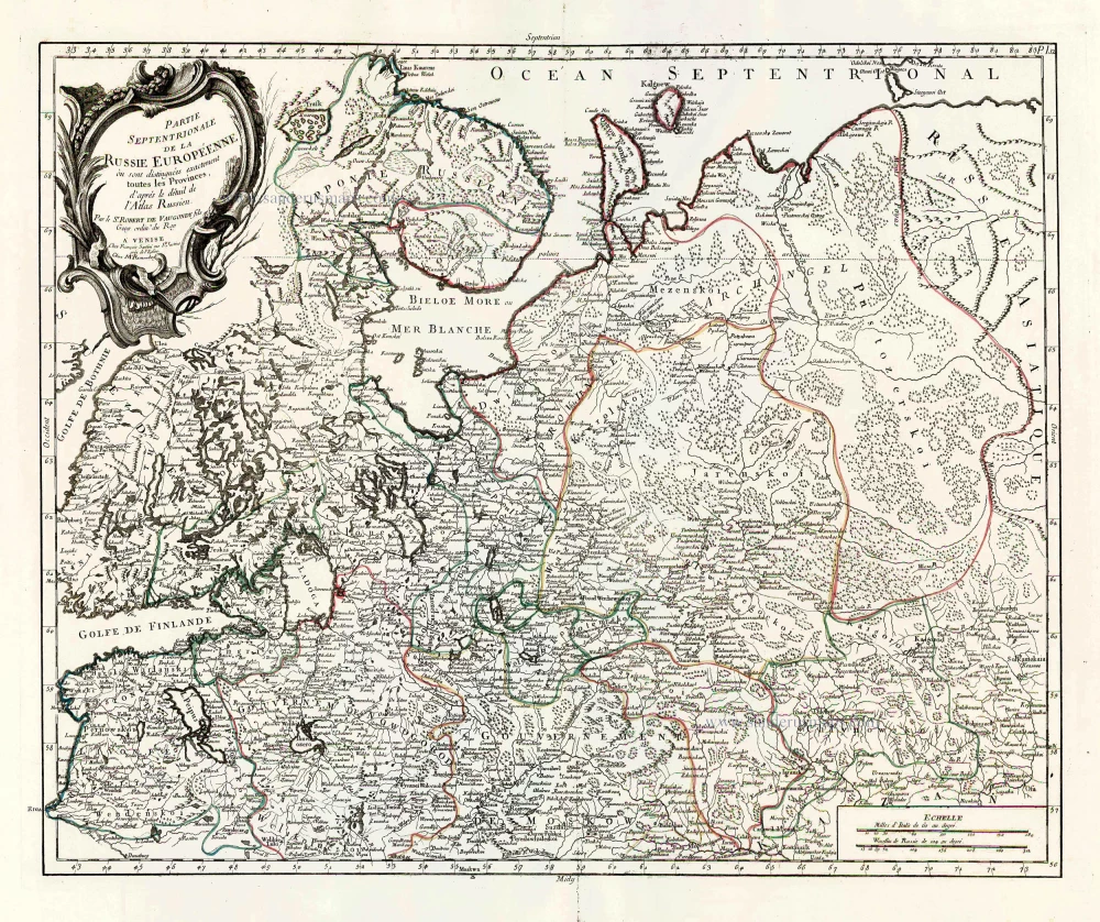
Partie Septentrionale de la Russie Européenne où sont distingées exactement toutes les Provinces, d'après le détail de l'Atlas Russien. 1776-79
Northern European Russia, by Francesco Santini.
[Item number: 26970]

Partie Méridionale de la Russie Européenne où sont distingées exactement toutes les Provinces, d'après le détail de l'Atlas Russien. 1776-79
Southern European Russia, by Francesco Santini.
[Item number: 26971]

Moschovia Nuova Tavola. 1561
Russia, by Girolamo Ruscelli.
[Item number: 27072]
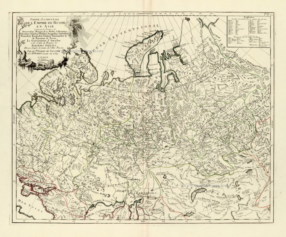
Partie Occidentale de l'Empire de Russie en Asie. 1776-79
Russia (East), by Paolo Santini.
[Item number: 28093]
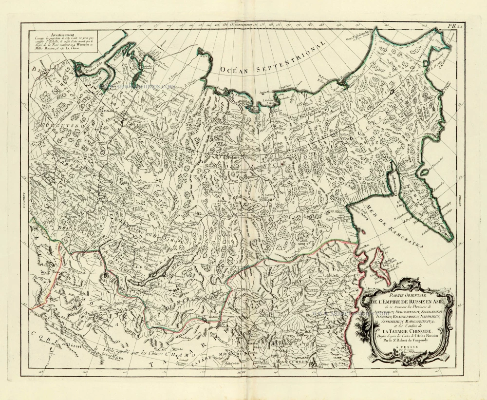
Partie orientale de l'Empire de Russie en Asie. 1776-79
Asiatic Russia, by Paolo Santini.
[Item number: 28095]

Imperii Russici Sive Moscoviae. after 1721
Russia by Frederik de Wit, published by Covens & Mortier.
[Item number: 28333]
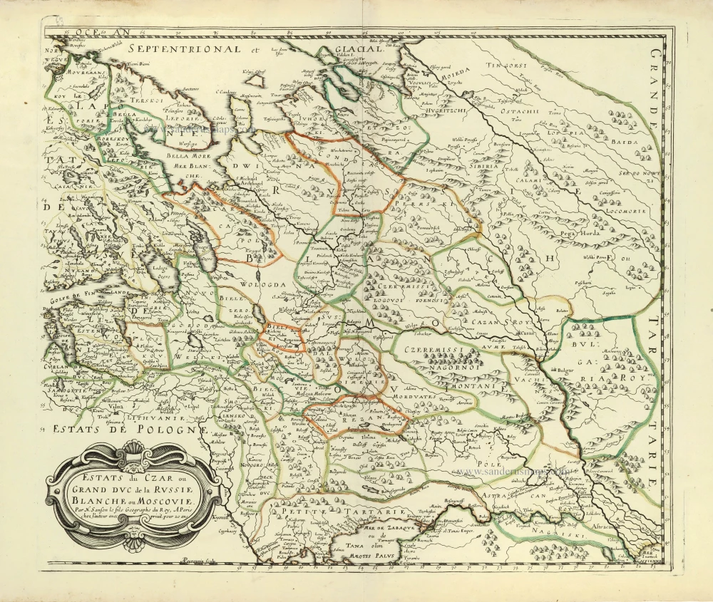
Estats du Czar ou Grand Duc de la Russie Blanche ou Moscovie. 1658
Russia by Nicolas Sanson.
[Item number: 28499]
Tabula Russiae. c. 1678
Russia by Claes Jansz Visscher.
[Item number: 28516]

With rare old colour
Secunda Asiae Tabula. 1513
Russia and Caucasus by Martin Waldseemüller.
[Item number: 28794]
Novissima Russiae Tabula. 1639
Russia, by Henricus Hondius.
[Item number: 28811]
Russiae et Novae Zemlae Maritimae. c. 1680
Northern Coast of Russia, by Frederick de Wit.
[Item number: 29178]

Nouvelle Carte de Moscovie où sont representés diferents Etats de sa Maiesté Czarienne en Europe et en Asie 1714
Russia, by Zacharias Châtelain.
[Item number: 29400]

Carte Générale des Etats du Czar Empereur de Moscovie, ou l'on voit ce que ce Prince possède en Europe et les Etats qu'il possède en Asie 1714
Russia, by Zacharias Châtelain.
[Item number: 29401]

Nouvelle Carte des Etats du Grand Duc de Moscovie en Europe. Partie Meridionale. 1714
Southern European Russia, by Zacharias Châtelain.
[Item number: 29403]
Nouvelle Carte des Etats du Grand Duc de Moscovie en Europe. Partie Meridionale. 1714
Northern European Russia, by Zacharias Châtelain.
[Item number: 29404]
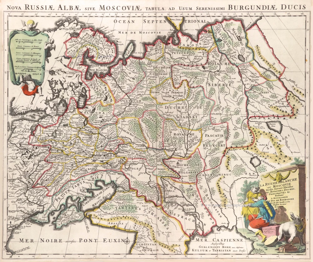
La Russie Blanche ou Moscovie. c. 1709
Russia by Hubert Jaillot, published by Pierre Mortier.
[Item number: 29615]

Sarmatia Utraque Europaea et Asiatica. 1659
European Russia and Ukraine by Nicolas Sanson.
[Item number: 29717]

Carte Nouvelle de Moscovie Represente la partie Septentrionale. [In set with:] Partie Meridionale de Moscovie. 1792
Russia by G. Delisle, published by J.B. Elwe.
[Item number: 30173]

Moscoviae pars Australis. 1653
Southern Russia by Johannes Janssonius.
[Item number: 30342]
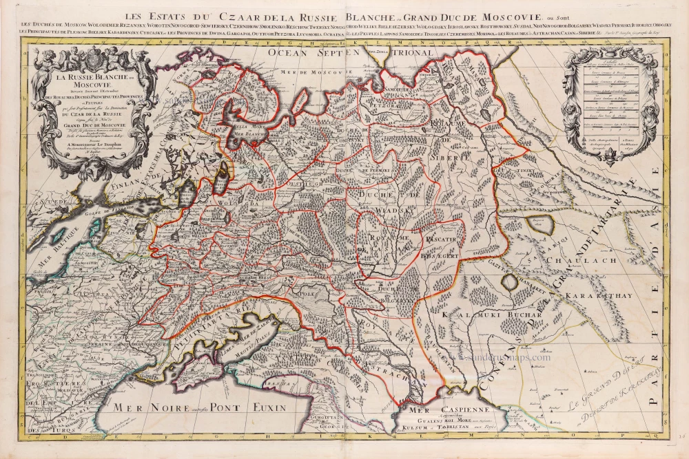
La Russie Blanche ou Moscovie Divisee Suivant l'Estendue des Royaumes, Duchés, Principautes, Provinces et Peuples qui sont Presentement sous la Domination du Czar de la Russe Cognu sous le Nom de Grand Duc de Moscovie. 1692
Russia by N. Sanson, so-called published by Hubert Jaillot. (Pirated edition by Pierre Mortier).
[Item number: 31176]
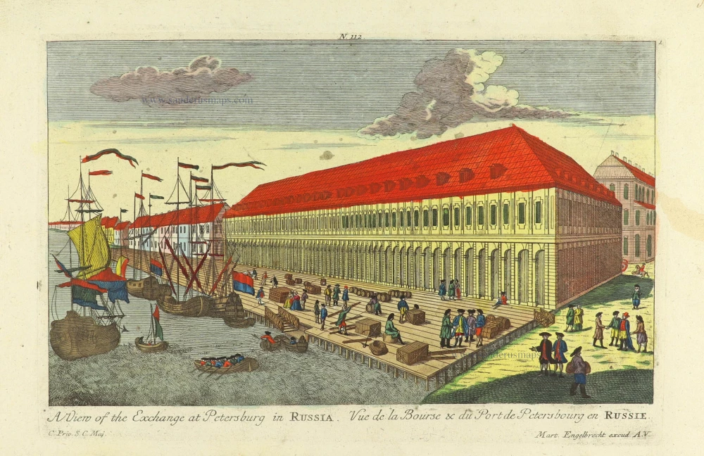
A view of the Exchange at Petersburg in Russia. - Vue de la Bourse & du Port de Petersbourg en Russie. c. 1750
Exchange at Petersburg in Russia, by Martin Engelbrecht.
[Item number: 31984]

La Russia Europea divisa ne' suoi Governi, e Provincie. 1779-1785
Russia (European), by Antonio Zatta.
[Item number: 32136]

Ducati di Livonia, e di Estonia e Governi di Novogorod, Bielogorod, e Kiowa coi loro Distretti nella Russia Europea. 1779-1785
Estonia, Russia, Bellarus, Ukraine, by Antonio Zatta.
[Item number: 32165]
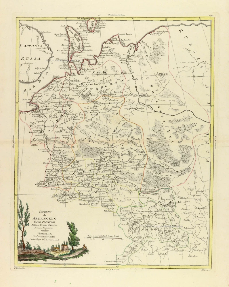
Governo di Arcangelo, e sue Provincie nella Russia Europea 1779-1785
Russia: Novaya Zemlya, Archangel, Jarensk, and Chlynow, by Antonio Zatta.
[Item number: 32166]

Governi di Moscovia e Woronez colle loro Provincie nella Russia Europea. 1779-1785
Russia: Moscow - Voronezh, by Antonio Zatta.
[Item number: 32167]
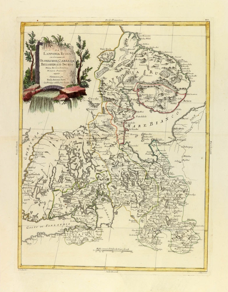
La Lapponia Russa coi Governi di Olonechoi, Carelia, Bielozero, ed Ingria Nella Russia Europea 1779-1785
Finland - North West Russia, by Antonio Zatta.
[Item number: 32168]

Tabula Russiae ex autographo, quod delineandum curavit Foedor filius Tzaris Boris desumta; . . . 1643
Russia by Willem & Joan Blaeu.
[Item number: 32266]
Russia Bianca o Moscovia 1687
Russia, by Giacomo Cantelli da Vignola, published by Giovanni de Rossi.
[Item number: 32918]