
Southeast Asia with China, Japan and the Philippines, by G.B. Ramusio. 1554
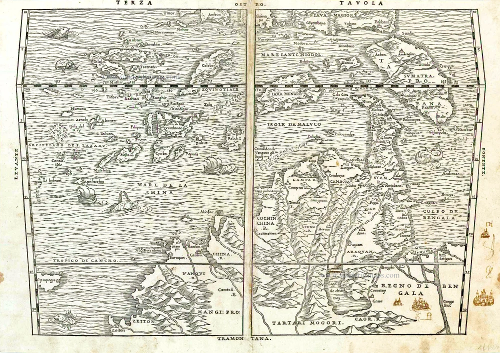
This map appeared for the first time in the second edition of Vol.1 of Ramusio's Delle Navigationi et Viaggi in 1554. The first edition of Vol.1 from 1550 only contained a woodcut of the Nile and six plans of the rock-cut churches of Lalibala in Abyssynia. This map is only found in the second edition and was replaced in the third edition of 1563 by a copperplate engraved map. First appearance of the name Philippines (Filipina) on a European map.
Giovanni Battista Ramusio (Treviso, 1485 - Padua, 1557)
Ramusio was the son of Paolo Ramusio, a magistrate of the Venetian city-state. In 1505 young Giovanni took a position as secretary to Aloisio Mocenigo of the patrician Mocenigo family, then served as the Republic's ambassador to France. Ramusio would spend the rest of his career in Venetian service. He was keenly interested in geography, and his position ensured he would receive news of all the latest discoveries from explorers around Europe as they were sent back to Venice. A learned man, fluent in several languages, he began to compile these documents and translated them into Italian, then the most widely understood of the European languages.
Ramusio compiled a collection of voyages which are the most highly valued of the sixteenth century. It is composed of accounts of voyages which had already been published, translated from French, Spanish and Latin, and also of manuscript accounts which appear for the first time. It enjoyed great success, and each of the three volumes appeared in several editions, some containing more narratives than others and minor differences in the maps.
Terza Tavola.
Item Number: 26314 Authenticity Guarantee
Category: Antique maps > Asia > China
Old, antique map of Southeast Asia with China, Japan and the Philippines, by G.B. Ramusio.
Oriented to the South.
Cartographer: Giacomo Gastaldi
Date of the first edition: 1554
Date of this map: 1554
Woodcut, printed on paper.
Size (not including margins): 27 x 39.5cm (10.5 x 15.4 inches)
Verso text: Italian
Condition: Centrefold repaired (in central margin), a few pen-and-ink sketches of cities at lower right.
Condition Rating: A
References: Suarez (SE Asia), pp.130-157, fig. 74; Walter L., #10; Karrow, 30/75.1; Geldart (Philippines), p.14; Nordenskiold 3, 641(3); Durant-Curtis, p.83 #10.
From: Primo Volume, & Seconda editione Delle Navigatione et Viaggi ... Venice, 1554.
This map appeared for the first time in the second edition of Vol.1 of Ramusio's Delle Navigationi et Viaggi in 1554. The first edition of Vol.1 from 1550 only contained a woodcut of the Nile and six plans of the rock-cut churches of Lalibala in Abyssynia. This map is only found in the second edition and was replaced in the third edition of 1563 by a copperplate engraved map. First appearance of the name Philippines (Filipina) on a European map.
Giovanni Battista Ramusio (Treviso, 1485 - Padua, 1557)
Ramusio was the son of Paolo Ramusio, a magistrate of the Venetian city-state. In 1505 young Giovanni took a position as secretary to Aloisio Mocenigo of the patrician Mocenigo family, then served as the Republic's ambassador to France. Ramusio would spend the rest of his career in Venetian service. He was keenly interested in geography, and his position ensured he would receive news of all the latest discoveries from explorers around Europe as they were sent back to Venice. A learned man, fluent in several languages, he began to compile these documents and translated them into Italian, then the most widely understood of the European languages.
Ramusio compiled a collection of voyages which are the most highly valued of the sixteenth century. It is composed of accounts of voyages which had already been published, translated from French, Spanish and Latin, and also of manuscript accounts which appear for the first time. It enjoyed great success, and each of the three volumes appeared in several editions, some containing more narratives than others and minor differences in the maps.
Related items
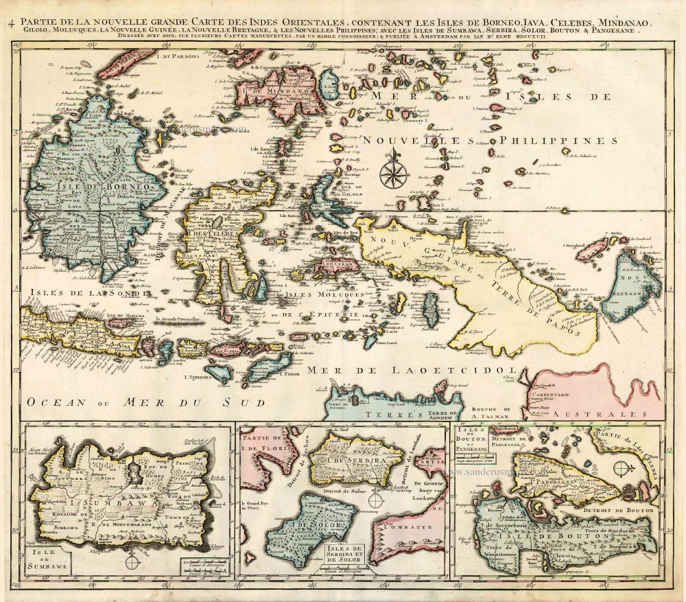
Partie de la Nouvelle Grande Carte des Indes Orientales, Contenant les Isles de Borneo, Iava, Celebes, Mindanao ... 1792
Indonesia - New Guinea - Australia by J.B. Elwe.
[Item number: 2293]

The most accurate and one of the most elegant 17th c. maps of the East Indies
Indiae Orientalis Nova Descriptio. 1644-58
Southeast Asia by Janssonius, Johannes
[Item number: 10013]

From the Cloppenburg edition
Insulae Indiae Orientalis. 1630
Southeast Asia, by G. Mercator - J. Hondius.
[Item number: 25234]

Indiae Orientalis nec non Insularum Adiacentium Nova Descriptio. c. 1740
Southeast Asia by Nicolaes Visscher, published by Petrus Schenk.
[Item number: 25718]
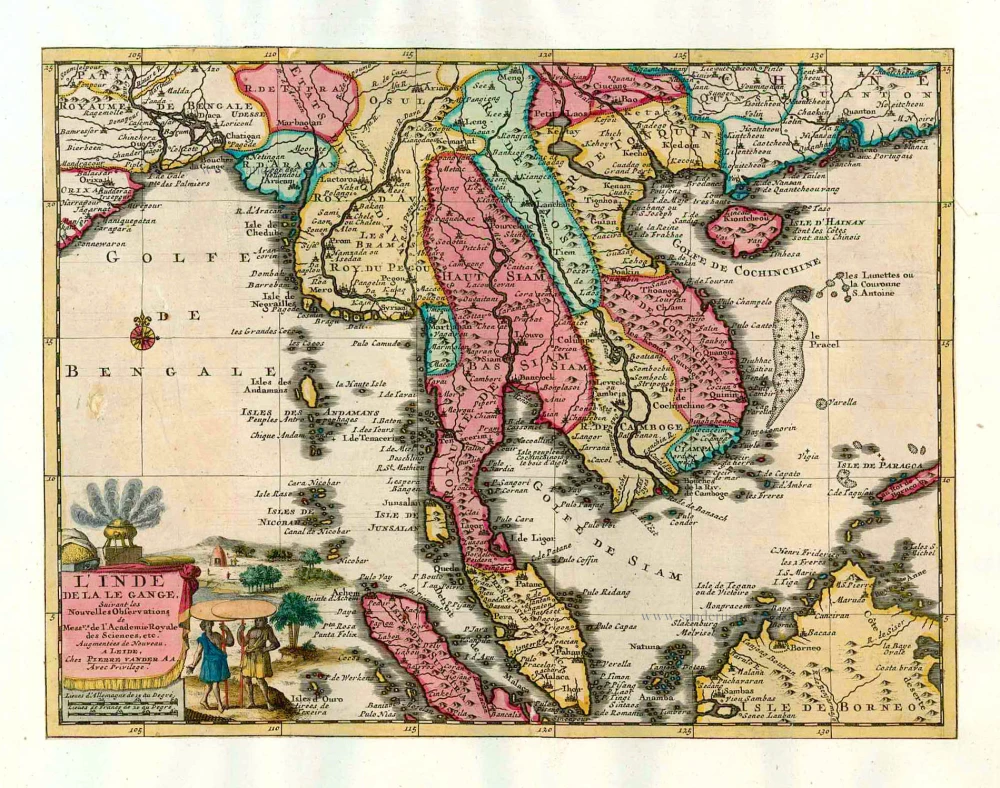
L'Inde de la le Gange, 1713
Southeast Asia, by Pieter van der Aa.
[Item number: 26097]

Sumatra. 1563
Sumatra, by G.B. Ramusio.
[Item number: 26313]

Insula Borneo et occidentalis pars Celebis cum adjacentibus Insulis. 1657-62
Borneo, by J. Janssonius.
[Item number: 26456]

India Orientalis. 1597
Southeast Asia, by Giovanni Magini.
[Item number: 26521]

Archipel des Indes Orientales qui comprend les Isles de la Sonde, Moluques et Philippines. 1776-79
Southeast Asia, by Francesco Santini.
[Item number: 26977]