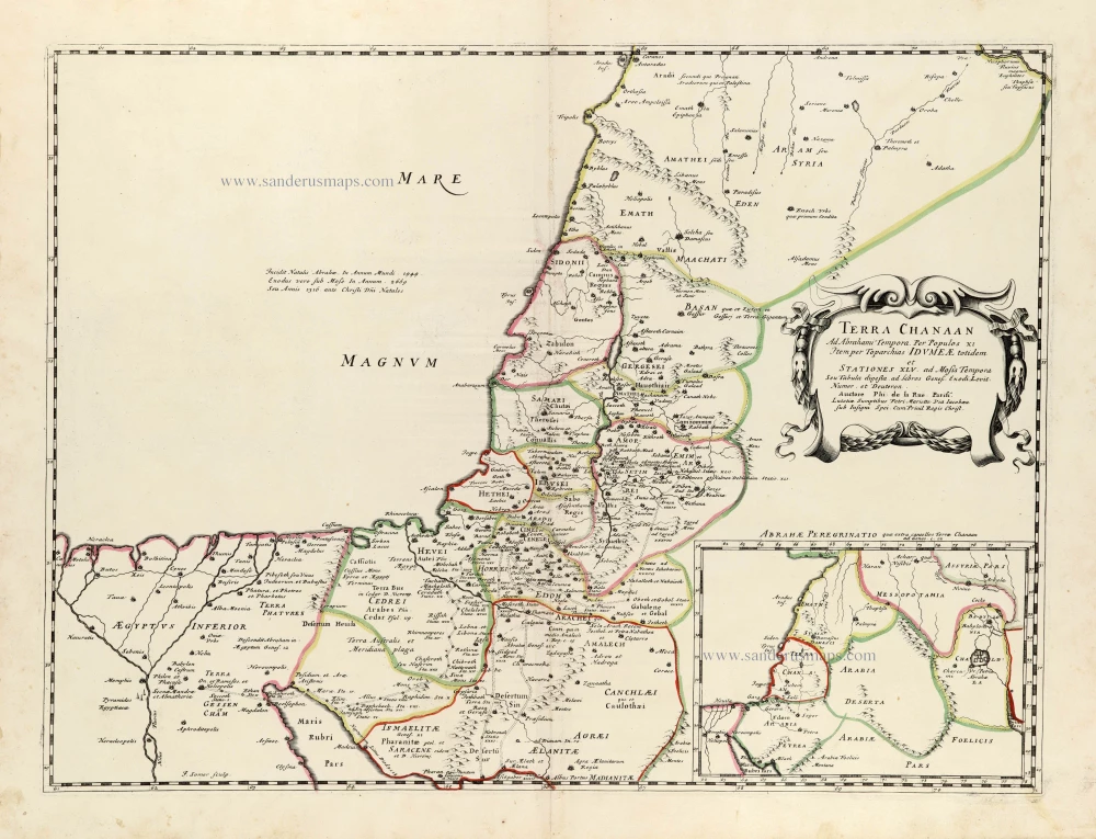
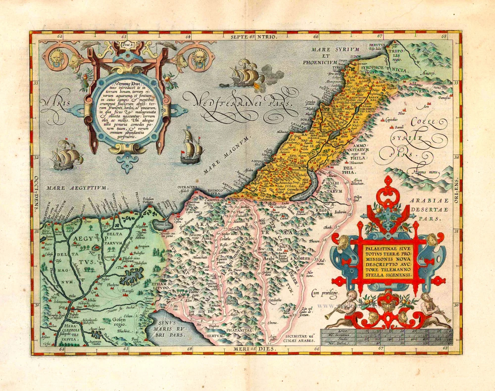
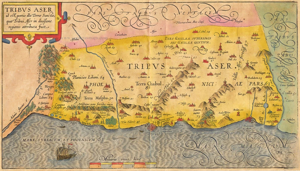
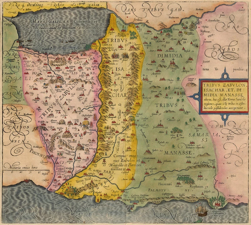
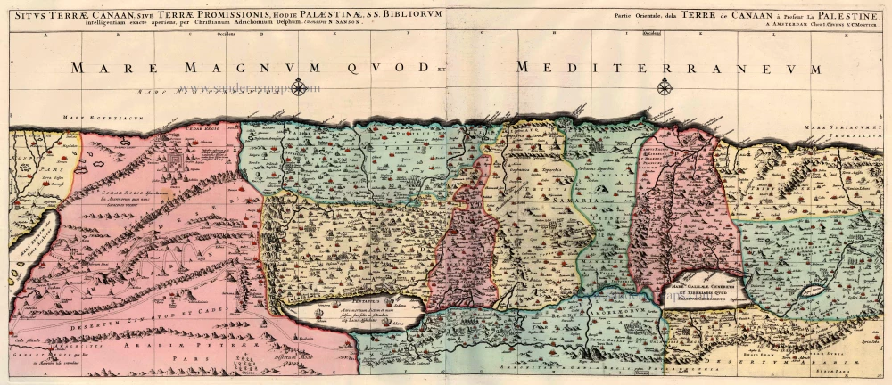
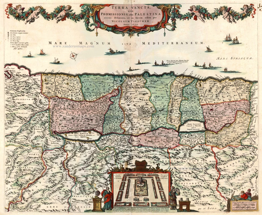
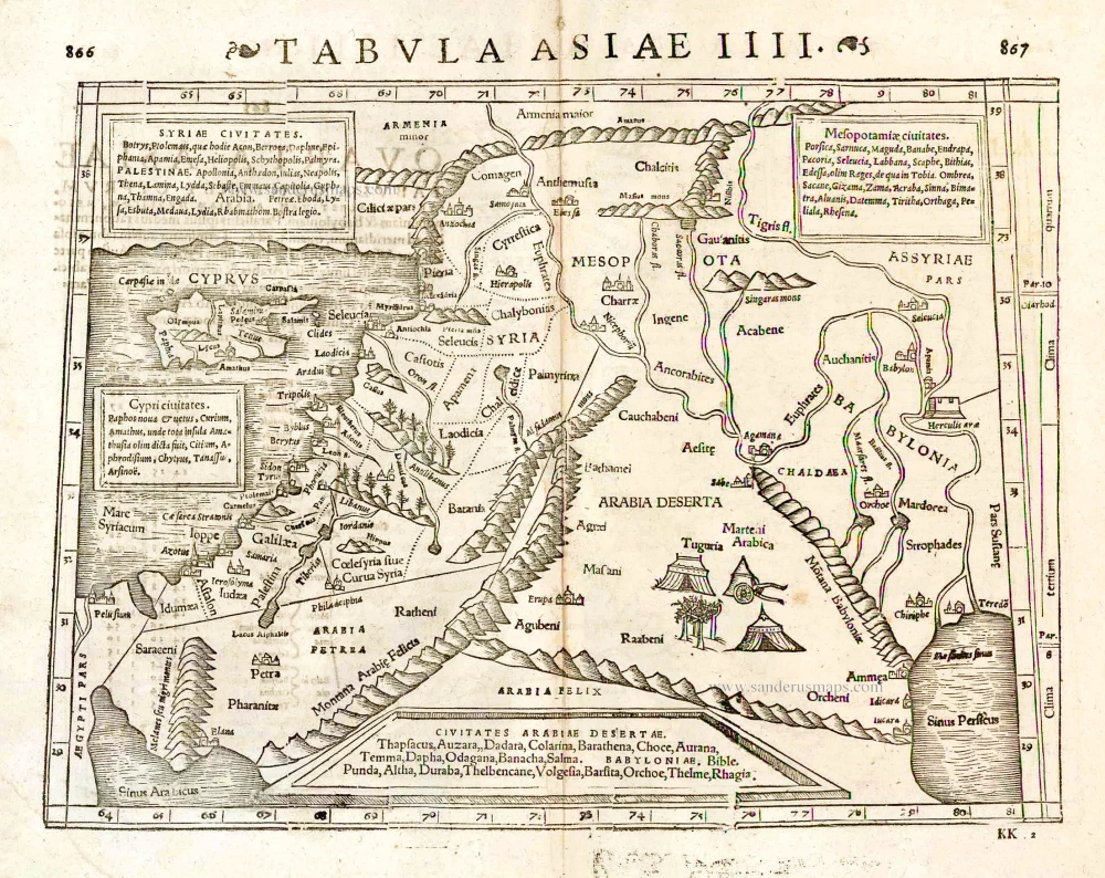
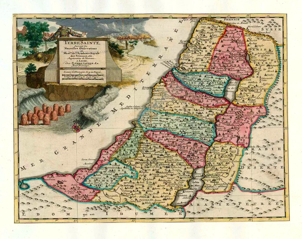
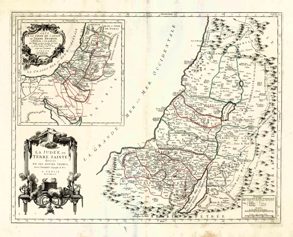
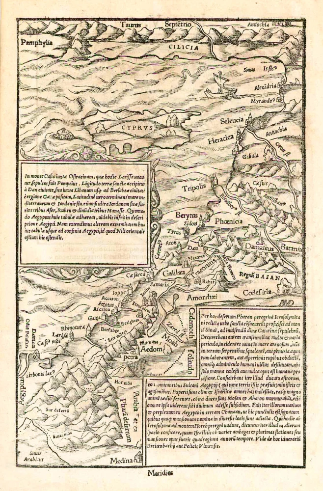
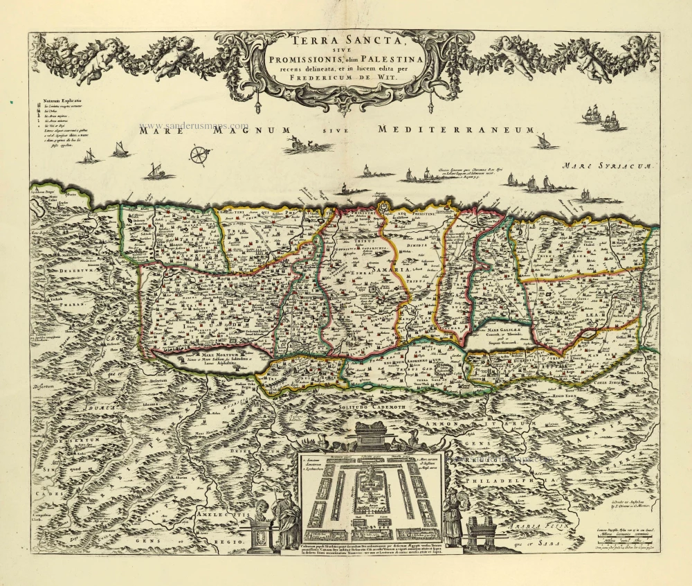
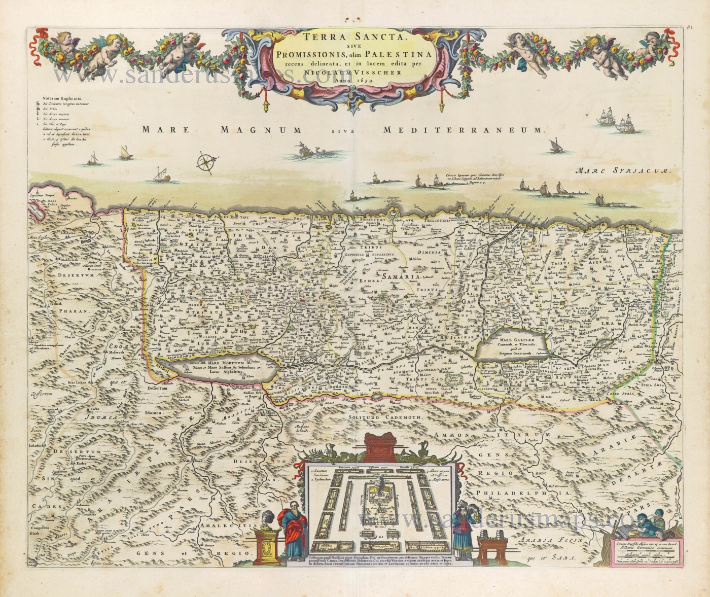
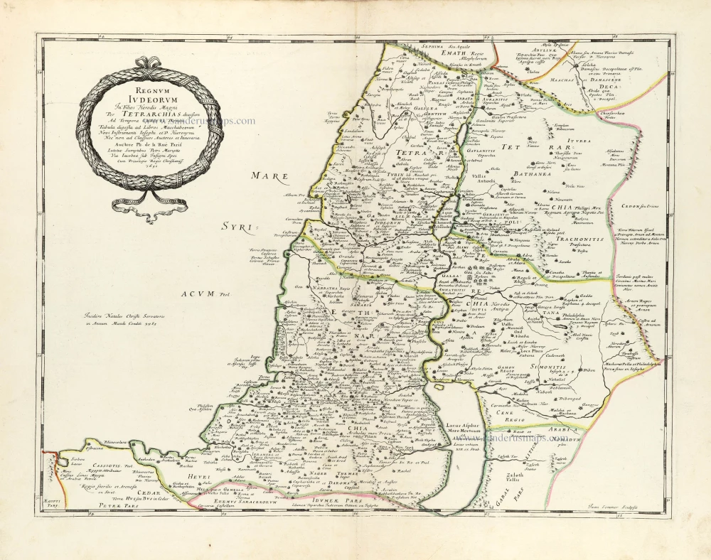
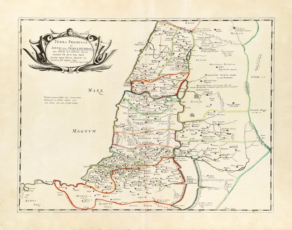
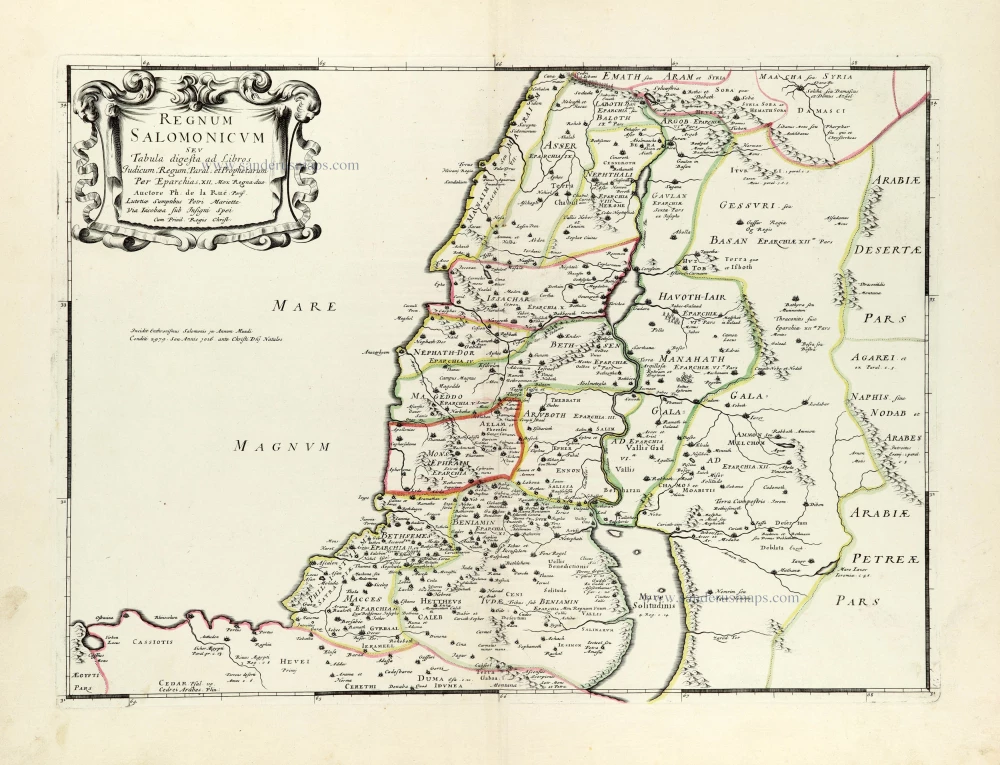
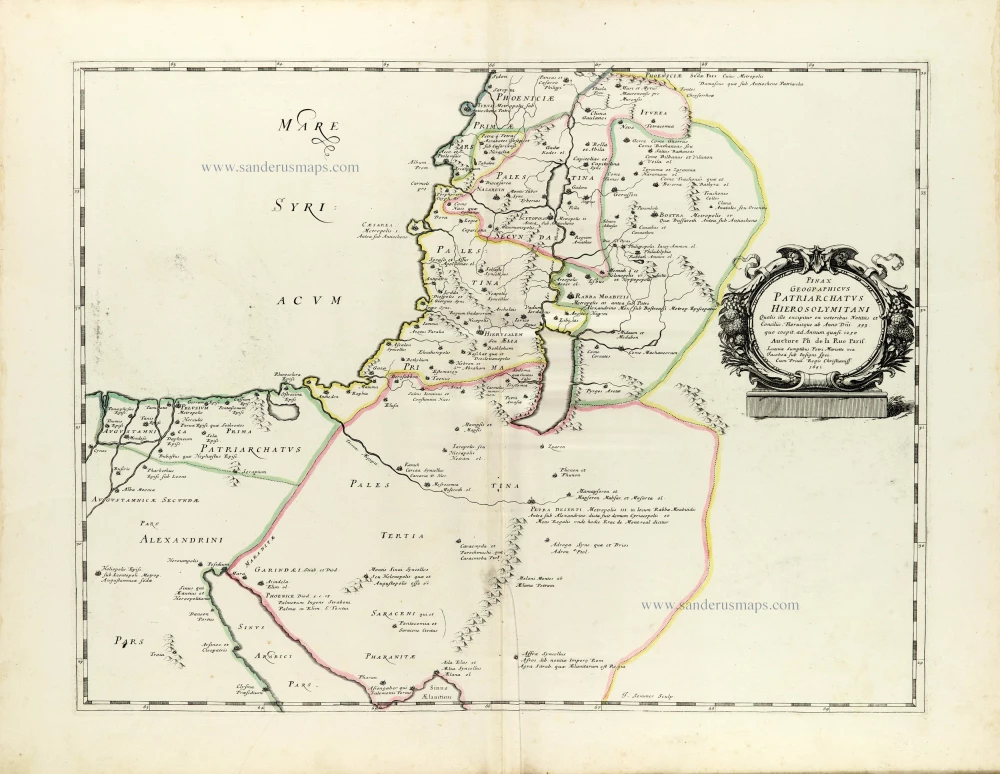
Historic map of the Land of Canaan from the time of Abraham up to the time of Moses, by Philippe de la Rue, published by Pierre Mariette. 1651
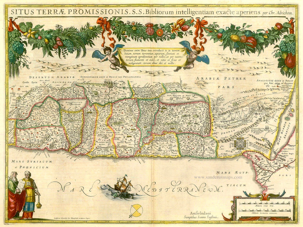
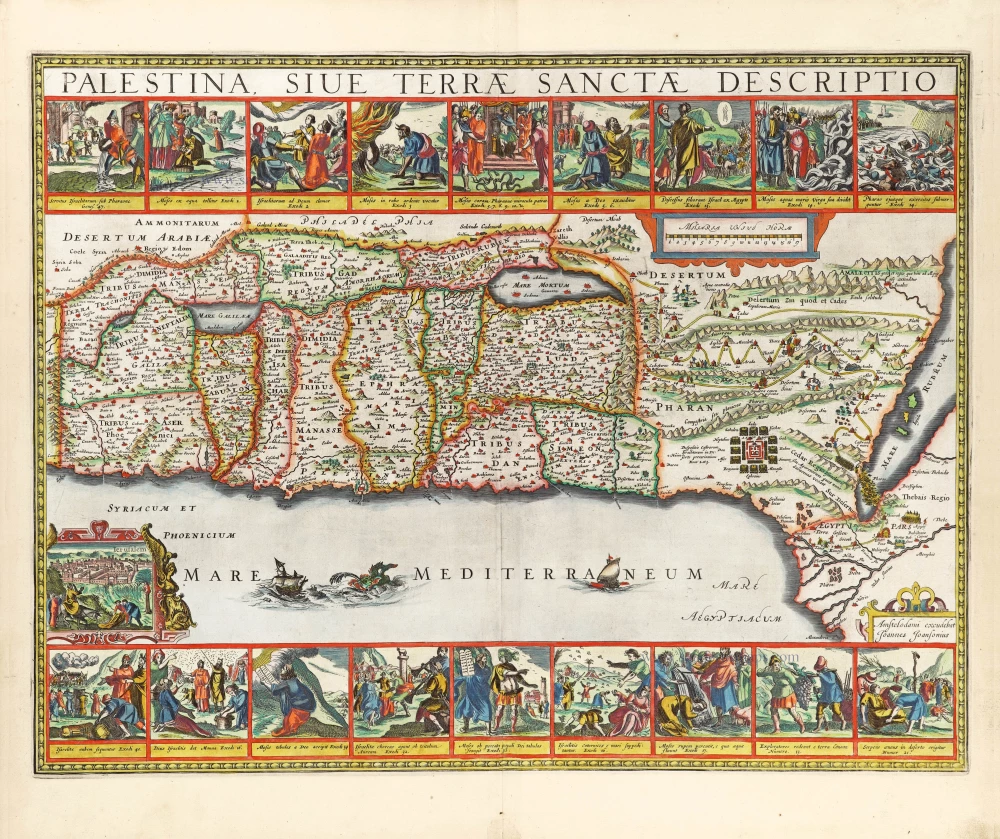
This map shows Palestine divided among the Tribes on both sides of the Jordan, the shoreline running from "Aradus Ins." as far as the Nile Delta. Delineating also the Wandering of the Jews.
Philippe de la Rue (1683-1761)
French cartographer à Paris. He composed an atlas on the Holy Land: La Terre Sainte en six cartes ... Paris, Pierre Mariette, 1651.
Pierre Mariette (1602-1658)
Bookseller, printseller, printer, and publisher, located in the Rue Saint-Jacques in Paris. On February 12, 1644, Pierre Mariette acquired most of Melchior Tavernier's fund. In 1646, he had a series of maps by Blaeu copied and asked Abraham Peyrounin to engrave them. In the meantime, he published the works of Nicolas Sanson. In 1650, he published the atlas Théâtre Géographique de France. A second edition followed in 1653. He later contributed to Sanson's atlas, the Cartes générales de toutes les parties du monde. Many maps of Mariette's Théatre appeared in later editions of Sanson's Cartes générales.
Terra Chanaan Ad Abrahami tempora, per populos XI Item per toparchias Idumeae Totidem et Stationes XLV. ad Mosis Tempora Seu Tabula digesta ad libros Genes. Exodi. Levit. Numer. et Deuteron.
Item Number: 30053 Authenticity Guarantee
Category: Antique maps > Asia > Holy Land
Historical map of the Land of Canaan from the time of Abraham up to the time of Moses, by Philippe de la Rue, published by Pierre Mariette.
Title: Terra Chanaan Ad Abrahami tempora, per populos XI Item per toparchias Idumeae Totidem et Stationes XLV. ad Mosis Tempora Seu Tabula digesta ad libros Genes. Exodi. Levit. Numer. et Deuteron.
Auctore Phi: de la Rue. Parisi. Lutetiae Sumptibus Petri Mariette Via Iacobaea sub Insigni Spei. Cum Privil Regis Christ.
I. Somer Sculp.
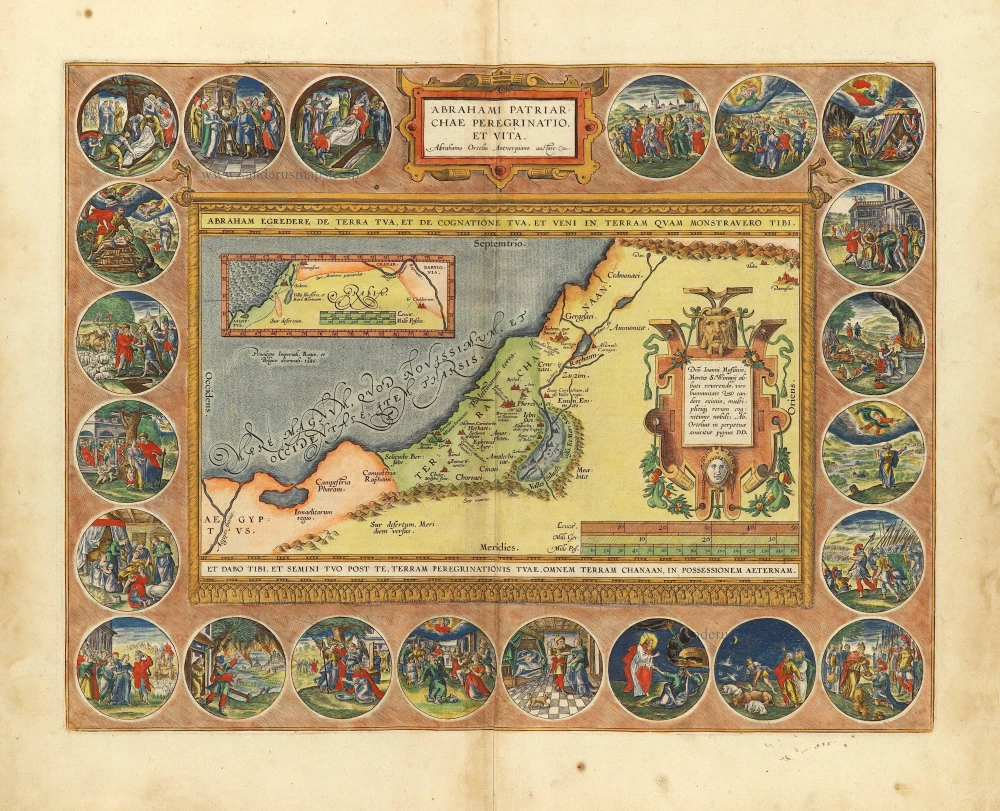
Inset:: 'Abrahae Peregrinatio ...' Shows the Near East, including Ur in Chaldea, the native country of Abraham.
Engraver: Jean Somer.
Date of the first edition: 1651.
Date of this map: 1651.
Copper engraving, printed on paper.
Image size: 420 x 560mm (16.54 x 22.05 inches).
Sheet size: 485 x 640mm (19.09 x 25.2 inches).
Verso: Blank.
Condition: Original coloured in outline, excellent.
Condition Rating: A+.
From: La Terre Sainte en six cartes geographiques et les traitez sur icelles suivant ses principales divisions. Par Philippe de La Rue. A Paris, chez Pierre Mariette, rue Sainct Iacques, à l'Esperance. MDCLI [1651].
This map shows Palestine divided among the Tribes on both sides of the Jordan, the shoreline running from "Aradus Ins." as far as the Nile Delta. Delineating also the Wandering of the Jews.
Philippe de la Rue (1683-1761)
French cartographer à Paris. He composed an atlas on the Holy Land: La Terre Sainte en six cartes ... Paris, Pierre Mariette, 1651.
Pierre Mariette (1602-1658)
Bookseller, printseller, printer, and publisher, located in the Rue Saint-Jacques in Paris. On February 12, 1644, Pierre Mariette acquired most of Melchior Tavernier's fund. In 1646, he had a series of maps by Blaeu copied and asked Abraham Peyrounin to engrave them. In the meantime, he published the works of Nicolas Sanson. In 1650, he published the atlas Théâtre Géographique de France. A second edition followed in 1653. He later contributed to Sanson's atlas, the Cartes générales de toutes les parties du monde. Many maps of Mariette's Théatre appeared in later editions of Sanson's Cartes générales.

