This product is successfully added to your cart
Questions about this product? (#30120)

Authenticity Guarantee
All items are guaranteed authentic prints (woodcuts or engravings) or manuscripts made at or about (c.) the given date and in good condition unless stated otherwise. We don’t sell facsimiles or reproductions. We deliver every map with a Certificate of Authenticity containing all the details.

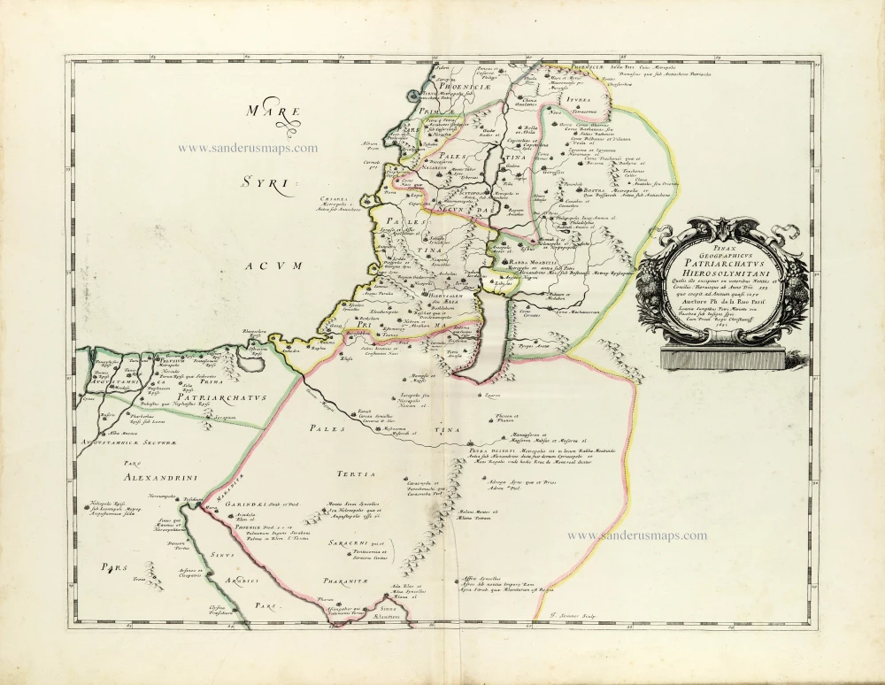
The Patriarchate of Jerusalem, by Philippe de la Rue, published by Pierre Mariette. 1651

Philippe de la Rue (1683-1761)

French cartographer à Paris. He composed an atlas on the Holy Land: La Terre Sainte en six cartes ... Paris, Pierre Mariette, 1651.


Pierre Mariette (1602-1658)

Bookseller, printseller, printer, and publisher, located in the Rue Saint-Jacques in Paris. On February 12, 1644, Pierre Mariette acquired most of Melchior Tavernier's fund. In 1646, he had a series of maps by Blaeu copied and asked Abraham Peyrounin to engrave them. In the meantime, he published the works of Nicolas Sanson. In 1650, he published the atlas Théâtre Géographique de France. A second edition followed in 1653. He later contributed to Sanson's atlas, the Cartes générales de toutes les parties du monde. Many maps of Mariette's Théatre appeared in later editions of Sanson's Cartes générales.

back

Pinax Geogpaphicus [sic] Patriarchatus Hierosolymitani [...]

€320  ($348.8 / £268.8)
add to cart
Buy now
questions?
PRINT

Item Number:  30120 Authenticity Guarantee

Category:  Antique maps > Asia > Holy Land

Old, antique map of the Patriarchate of Jerusalem, by Philippe de la Rue, published by Pierre Mariette.

Title: Pinax Geogpaphicus [sic] Patriarchatus Hierosolymitani [...]
Auctore Ph: de la Rue Paris. Lutetiae Sumptibus Petri Mariette via Jacobea sub Insigni Spei.
Cum Privil. Regis Christianiss. 1651
J. Sommer Sculpsit.


Engraver: Jean Somer.

Date of the first edition: 1651.
Date of this map: 1651.

Copper engraving, printed on paper.
Image size: 405 x 530mm (15.94 x 20.87 inches).
Sheet size: 490 x 640mm (19.29 x 25.2 inches).
Verso: Blank.
Condition: Original coloured in outline, excellent.
Condition Rating: A+.

From: La Terre Sainte en six cartes geographiques et les traitez sur icelles suivant ses principales divisions. Par Philippe de La Rue. A Paris, chez Pierre Mariette, rue Sainct Iacques, à l'Esperance. MDCLI [1651].

Philippe de la Rue (1683-1761)

French cartographer à Paris. He composed an atlas on the Holy Land: La Terre Sainte en six cartes ... Paris, Pierre Mariette, 1651.


Pierre Mariette (1602-1658)

Bookseller, printseller, printer, and publisher, located in the Rue Saint-Jacques in Paris. On February 12, 1644, Pierre Mariette acquired most of Melchior Tavernier's fund. In 1646, he had a series of maps by Blaeu copied and asked Abraham Peyrounin to engrave them. In the meantime, he published the works of Nicolas Sanson. In 1650, he published the atlas Théâtre Géographique de France. A second edition followed in 1653. He later contributed to Sanson's atlas, the Cartes générales de toutes les parties du monde. Many maps of Mariette's Théatre appeared in later editions of Sanson's Cartes générales.
References: Pastoureau - p. 293, #5; Laor - p. 53, #419

Related items

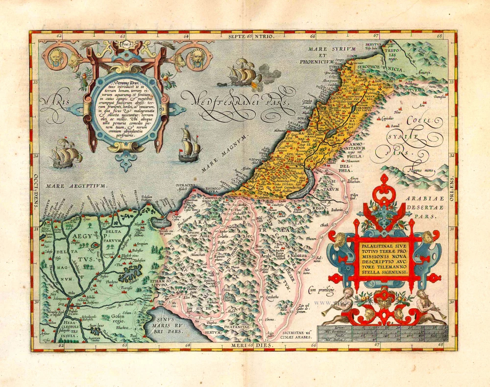
Holy Land, by Abraham Ortelius.

Palaestinae sive totius Terrae Promissionis nova descriptio Auctore Tilemanno Stella Sigenensi. 1624
Holy Land, by Abraham Ortelius.
[Item number: 1583]

€800  ($872 / £672)
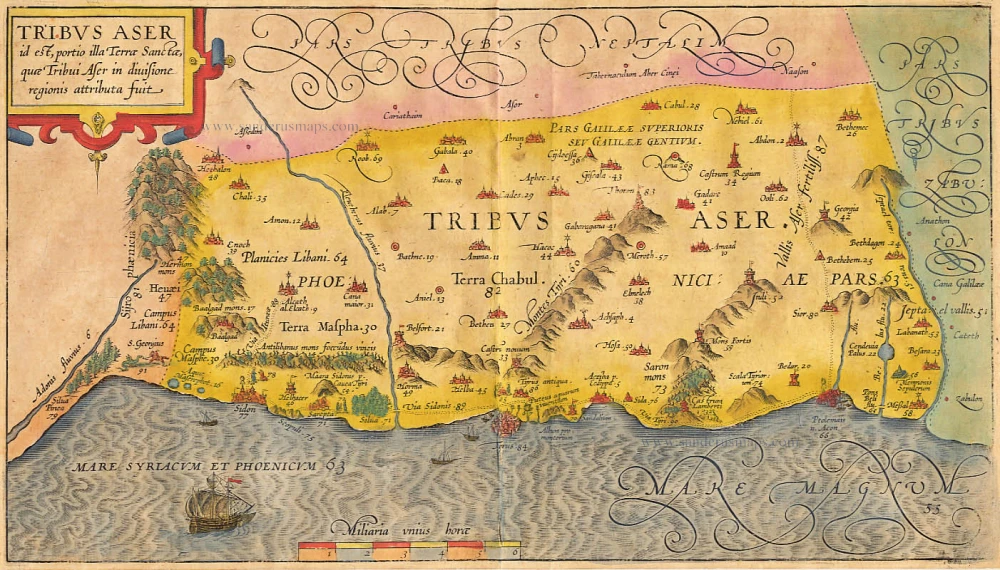
The Holy Land, by Adrichomius C.

Tribus Aser 1590
The Holy Land, by Adrichomius C.
[Item number: 1891]

€200  ($218 / £168)
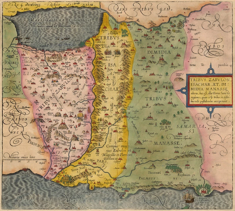
Holy Land, by Adrichomius C.

Tribus Zabulon, Isachar, Et, Dimidia Manasse ... 1590
Holy Land, by Adrichomius C.
[Item number: 1902]

€200  ($218 / £168)
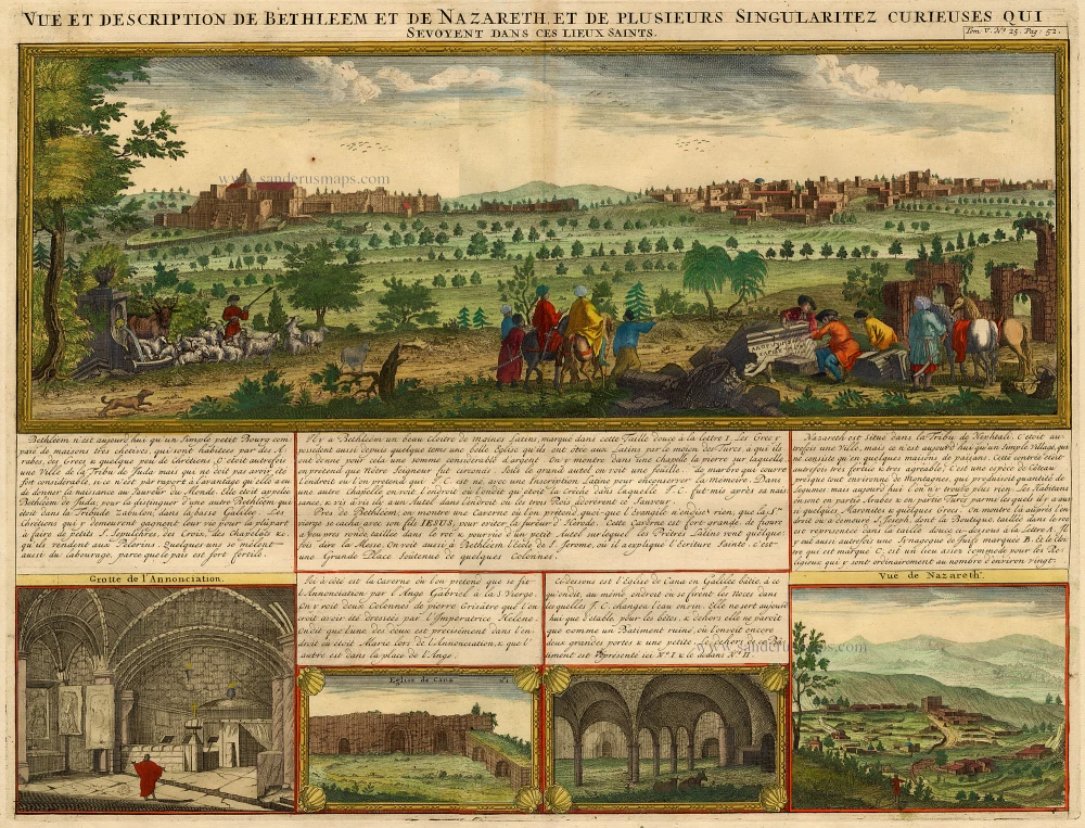
Holy Land - Bethlehem - Nazareth, by Z. Châtelain.

Vue et Description de Bethleem et de Nazareth et de Plusieurs Singularitez Curieuses .. 1719
Holy Land - Bethlehem - Nazareth, by Z. Châtelain.
[Item number: 16855]

€300  ($327 / £252)
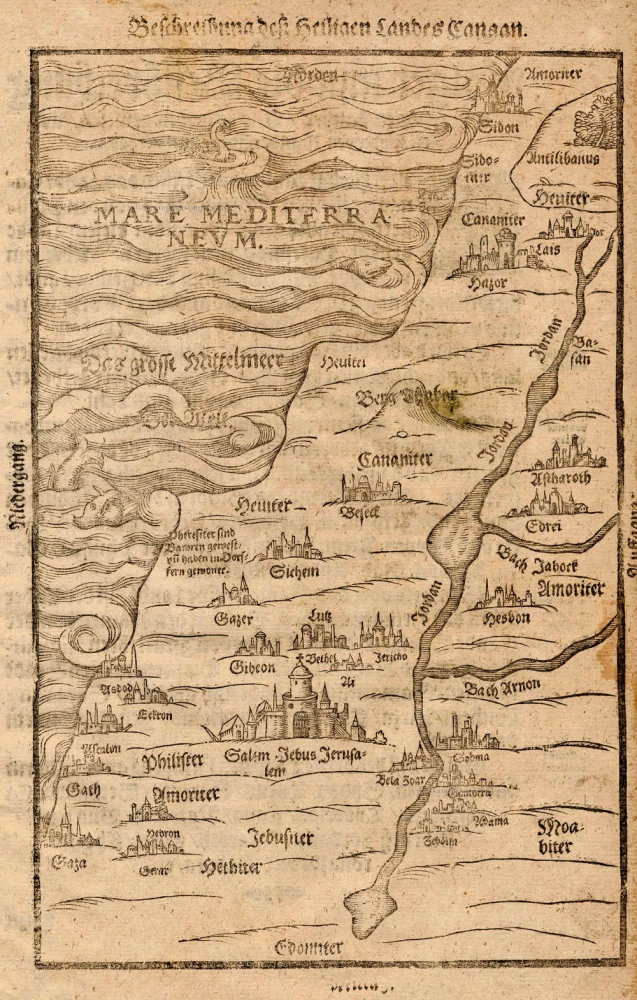
The Holy Land, by Bünting H.

Beschreibung des Heiligen Landes Canaan. 1581
The Holy Land, by Bünting H.
[Item number: 18420]

€260  ($283.4 / £218.4)
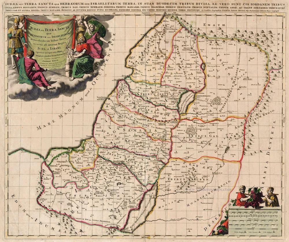
HOLY LAND by Schenk P.

Iudea, seu Terra Sancta quae Hebraeorum sive Israelitarum ... c. 1700
HOLY LAND by Schenk P.
[Item number: 19146]

€350  ($381.5 / £294)
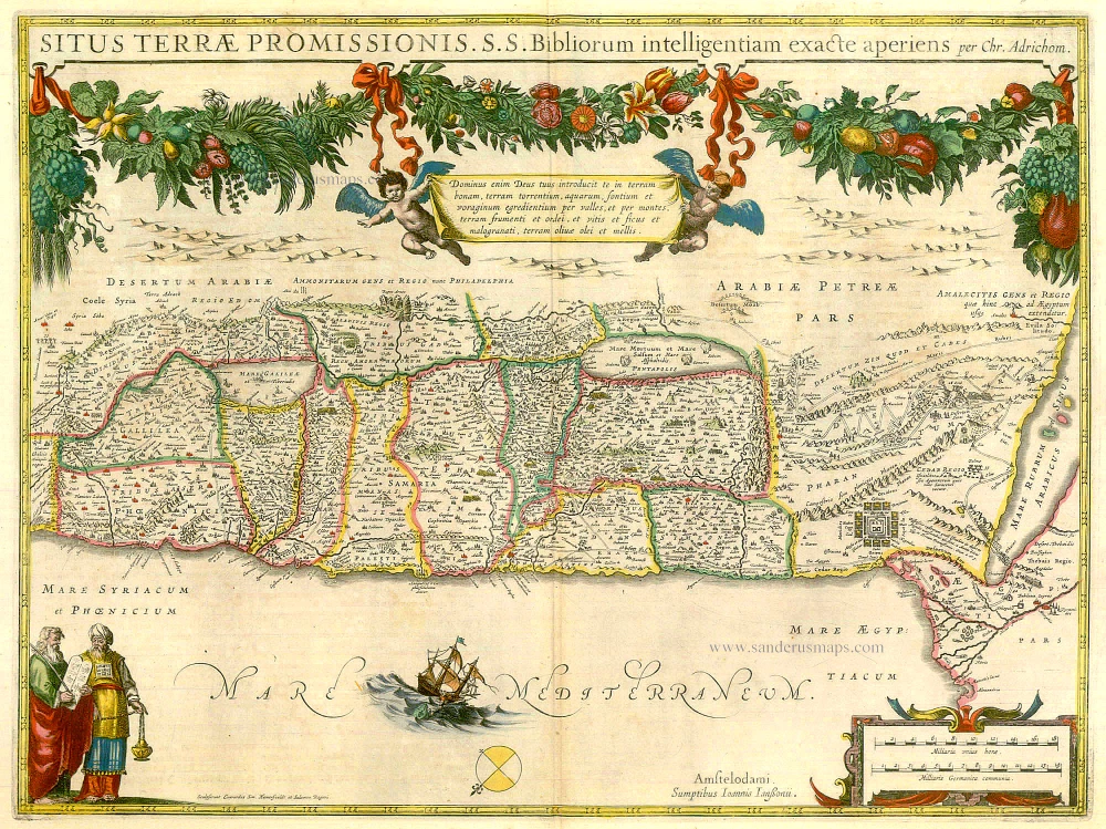
The Holy Land, by Janssonius J.

Situs Terrae Promissionis. S.S. Bibliorum intelligentiam exacte aperiens per Chr. Adrichom. c. 1658
The Holy Land, by Janssonius J.
[Item number: 19521]

€600  ($654 / £504)
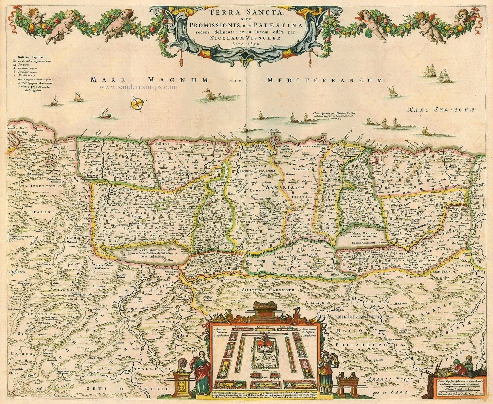
The Holy Land, by Visscher N.

Terra Sancta, sive Promissionis, olim Palestina recens delineata. 1683-1696
The Holy Land, by Visscher N.
[Item number: 19522]

€500  ($545 / £420)
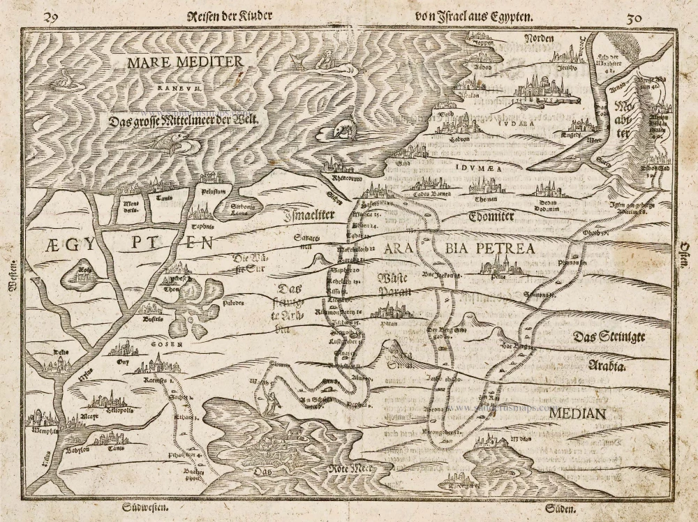
Holy Land - Egypt by Heinrich Bünting.

Reisen der Kinder von Israel aus Egypten. 1582
Holy Land - Egypt by Heinrich Bünting.
[Item number: 22612]

€250  ($272.5 / £210)
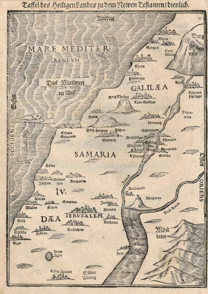
Holy Land, by Bünting H.

Taffel des Heiligen Landes zu dem Newen Testament dienlich. 1582
Holy Land, by Bünting H.
[Item number: 22640]

€250  ($272.5 / £210)
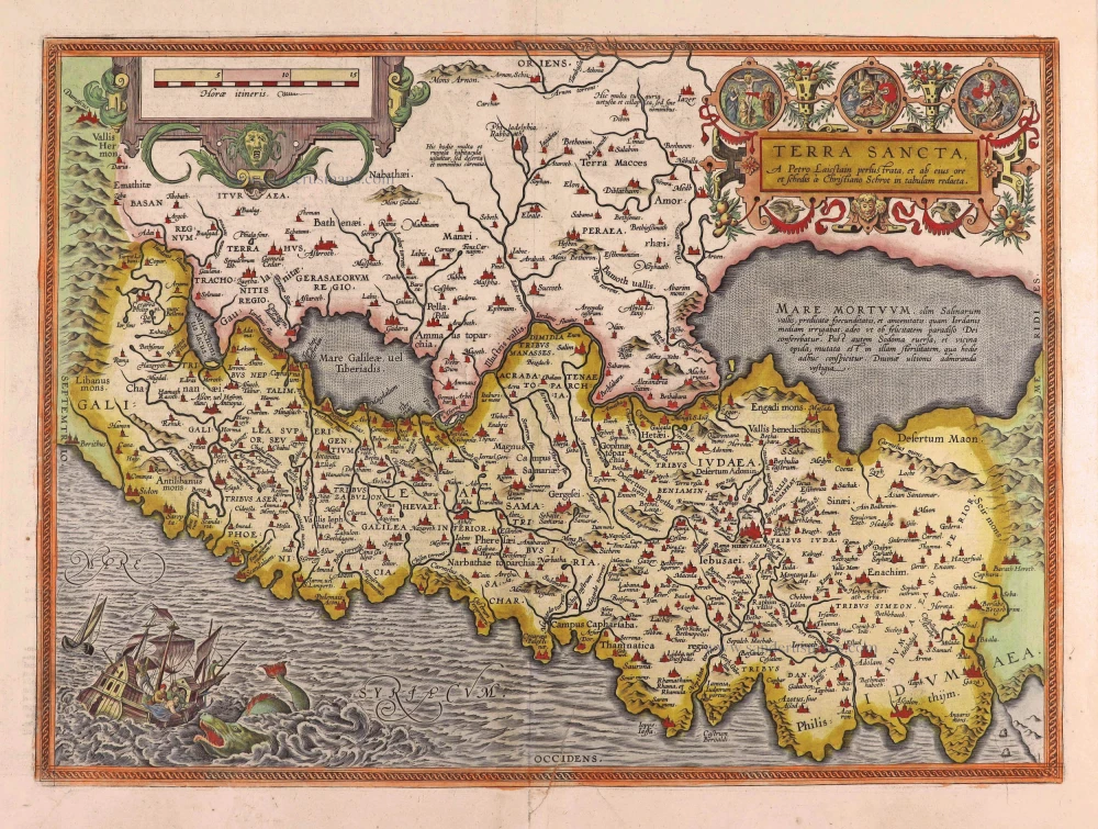
Holy Land by Abraham Ortelius.

Terra Sancta, A Petro Laicstain perlustrata, et ab eius ore et schedisà Chistino Schrot in tabulam redacta. 1612
Holy Land by Abraham Ortelius.
[Item number: 23099]

€750  ($817.5 / £630)
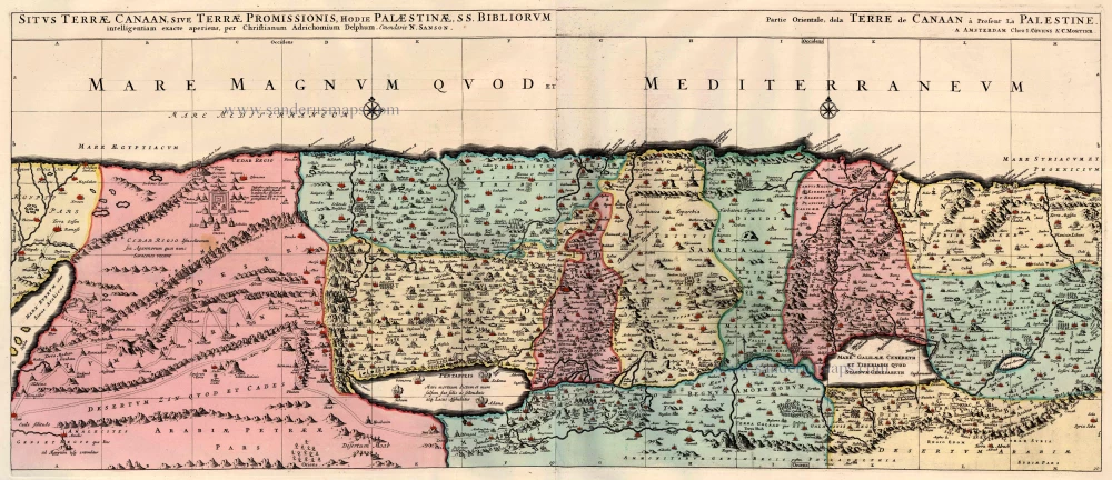
The Holy Land, by Jaillot - Covens & Mortier.

Situs Terrae Canaan sive Terrae Promissionis, hodie Palestinae, ... 1710
The Holy Land, by Jaillot - Covens & Mortier.
[Item number: 23600]

€400  ($436 / £336)
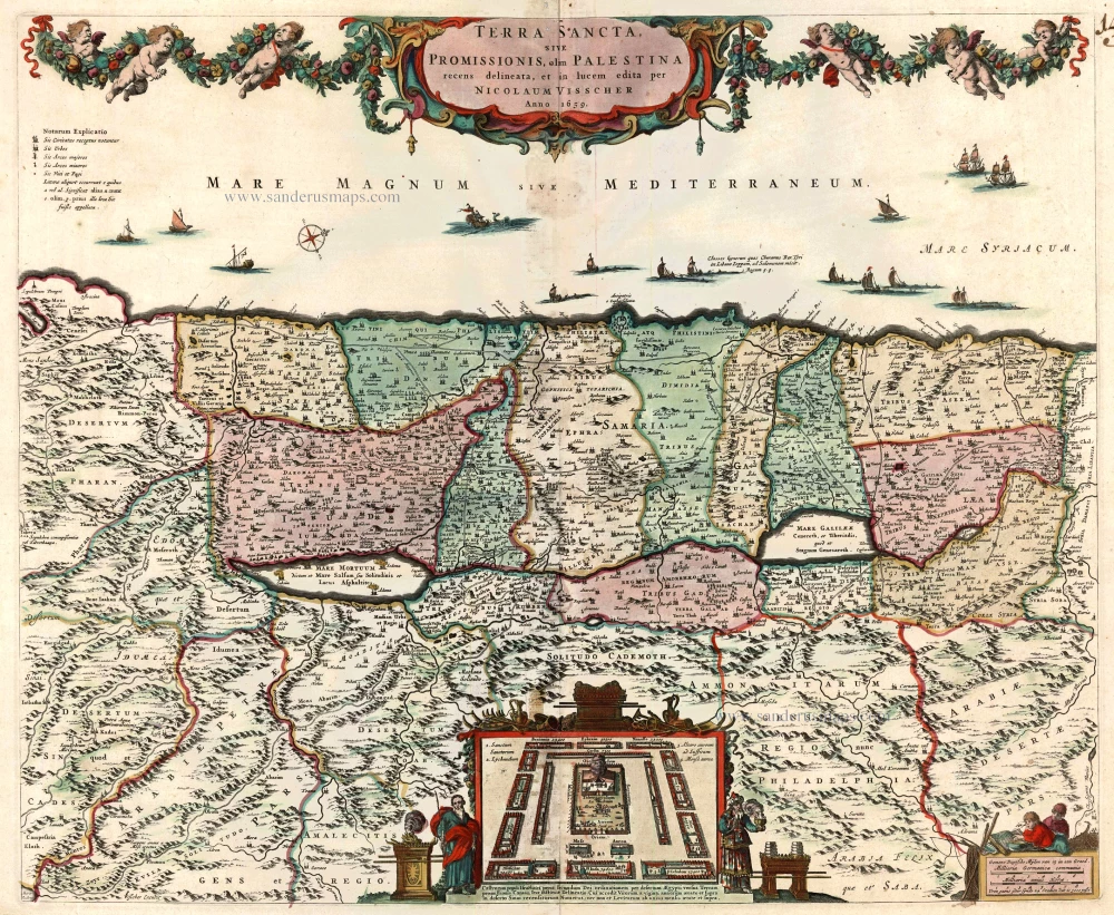
The Holy Land by Nicolaas Visscher

Terra Sancta, sive Promissionis, olim Palestina recens delineata. 1683-1696
The Holy Land by Nicolaas Visscher
[Item number: 24441]

€480  ($523.2 / £403.2)
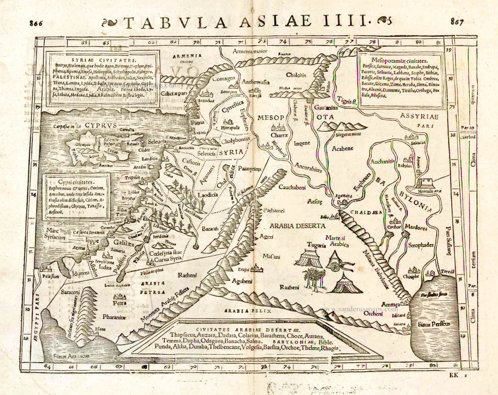
Middle East - Cyprus - Holy Land by Strabo - Sebastian Münster

Tabula Asiae IIII. 1571
Middle East - Cyprus - Holy Land by Strabo - Sebastian Münster
[Item number: 25653]

€300  ($327 / £252)
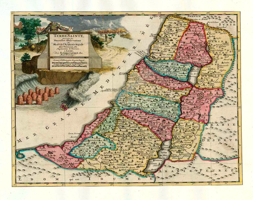
The Holy Land, by Pieter van der Aa.

Terre Sainte Suivant les Nouvelles Observations. 1713
The Holy Land, by Pieter van der Aa.
[Item number: 26110]

€350  ($381.5 / £294)
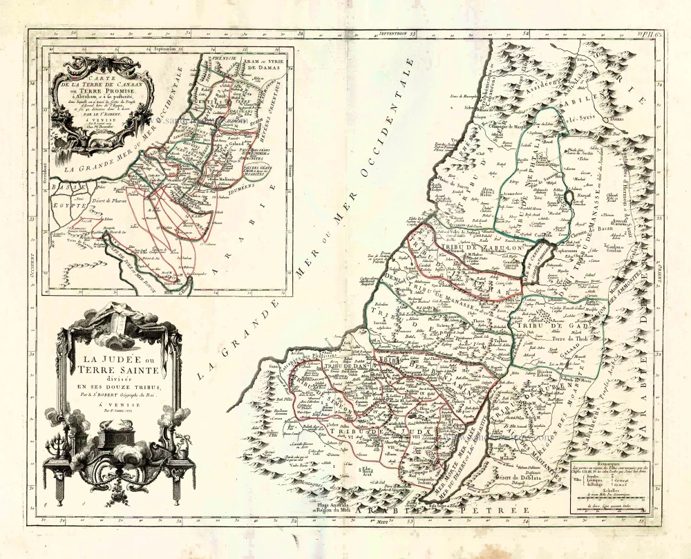
Holy Land, by Paolo Santini.

La Judée ou Terre Sainte divisée en ses Douze Tribus. 1776-79
Holy Land, by Paolo Santini.
[Item number: 27015]

€380  ($414.2 / £319.2)
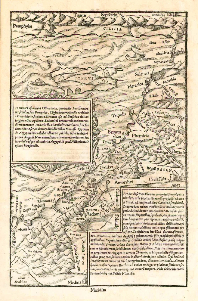
Cyprus and the Holy Land, by Sebastian Münster.

In monte Casio iuxta Ostracinam, ... 1550
Cyprus and the Holy Land, by Sebastian Münster.
[Item number: 27073]

€250  ($272.5 / £210)
Holy Land, by Lorenz Fries.

Tabula Terre Sanctae. 1525
Holy Land, by Lorenz Fries.
[Item number: 27927]

€1200  ($1308 / £1008)
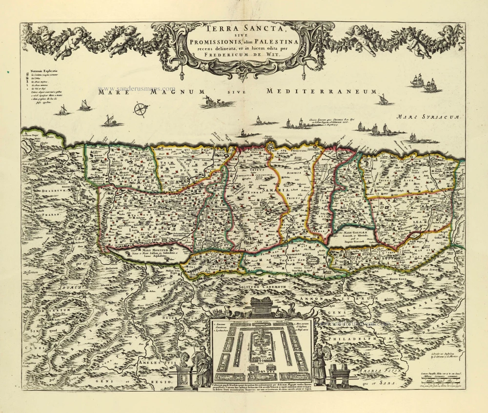
Holy Land by Frederik de Wit, published by Covens & Mortier.

Terra Sancta, sive Promissionis, olim Palestina. after 1721
Holy Land by Frederik de Wit, published by Covens & Mortier.
[Item number: 28329]

€500  ($545 / £420)
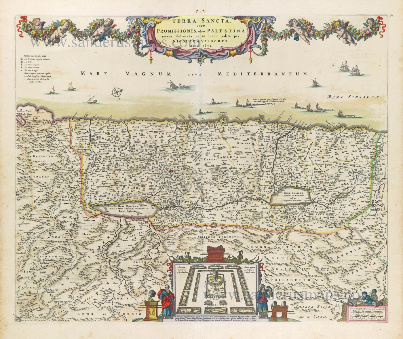
The Holy Land by Nicolaas Visscher.

Terra Sancta, sive Promissionis, olim Palestina recens delineata. 1664-80
The Holy Land by Nicolaas Visscher.
[Item number: 28582]

€600  ($654 / £504)
Holy Land by Abraham Ortelius.

Terra Sancta, A Petro Laicstain perlustrata, et ab eius ore et schedisà Chistino Schrot in tabulam redacta. 1601
Holy Land by Abraham Ortelius.
[Item number: 28669]

€750  ($817.5 / £630)
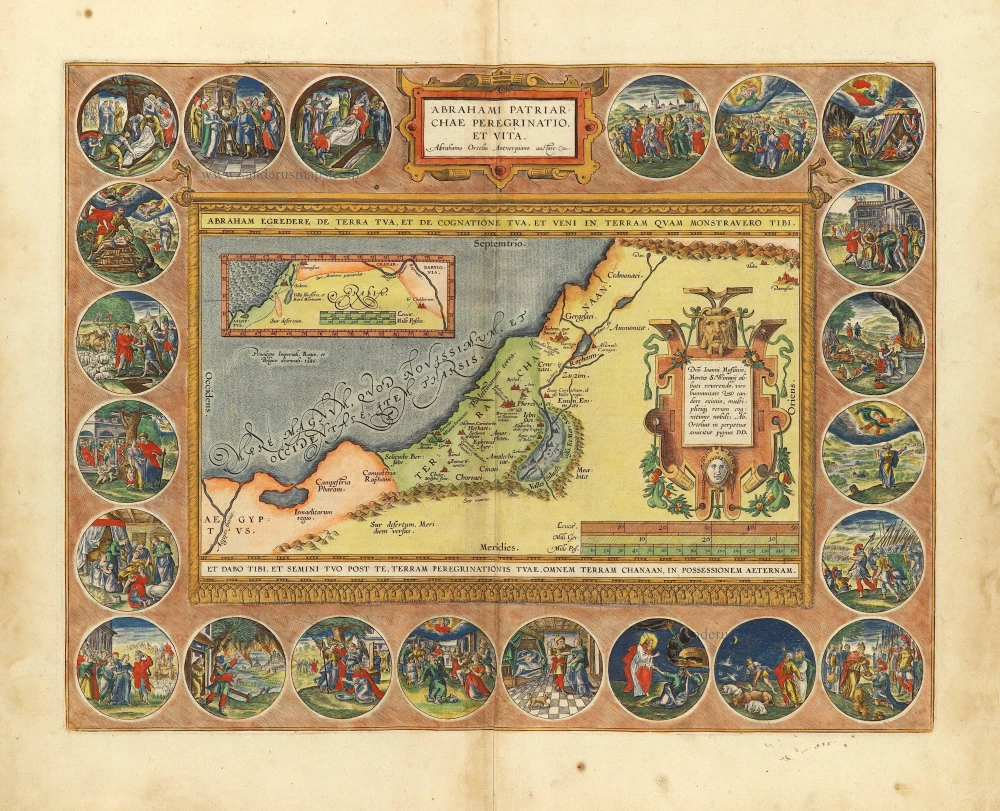
The Holy Land by Abraham Ortelius.

Parergon map
Abrahami Patriarchae Peregrinatio, et Vita. 1612
The Holy Land by Abraham Ortelius.
[Item number: 28921]

€2700  ($2943 / £2268)
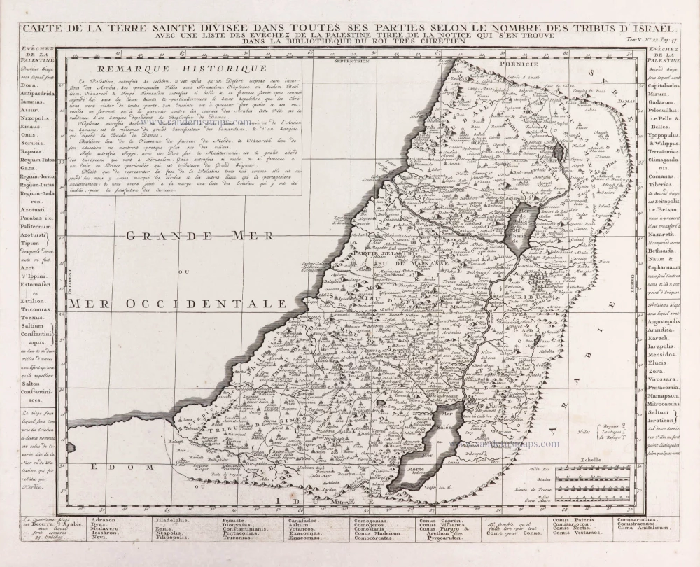
Holy Land, by Zacharias Châtelain.

Carte de la Terre Sainte Divisée dans Toutes ses Parties selon le nombre des Tribus d'Israel. 1719
Holy Land, by Zacharias Châtelain.
[Item number: 29383]

€280  ($305.2 / £235.2)
The Holy Land by Joannes Janssonius.

Luxury colour
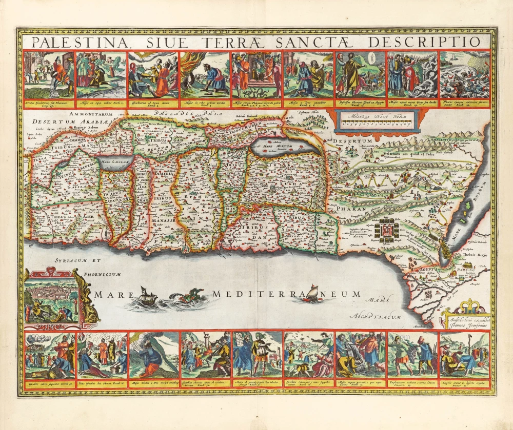
Palestina, sive Terrae Sanctae Descriptio. 1666
The Holy Land by Joannes Janssonius.
[Item number: 29972]

€2800  ($3052 / £2352)
Historic map of the Land of Canaan from the time of Abraham up to the time of Moses, by Philippe de la Rue, published by Pierre Mariette.

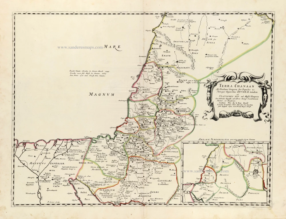
Terra Chanaan Ad Abrahami tempora, per populos XI Item per toparchias Idumeae Totidem et Stationes XLV. ad Mosis Tempora Seu Tabula digesta ad libros Genes. Exodi. Levit. Numer. et Deuteron. 1651
Historic map of the Land of Canaan from the time of Abraham up to the time of Moses, by Philippe de la Rue, published by Pierre Mariette.
[Item number: 30053]

€350  ($381.5 / £294)
Holy Land - Jerusalem by Philippe Briet, published by Pierre Mariette.

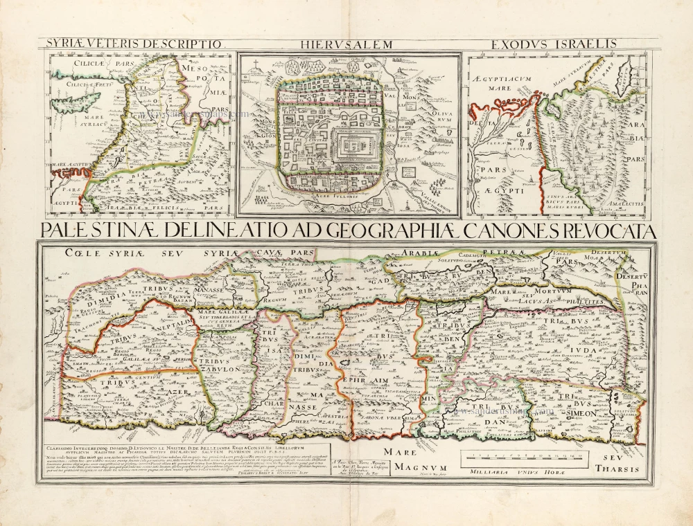
Palestinae Delineatio Ad Geographiae Canones Revocata. 1641
Holy Land - Jerusalem by Philippe Briet, published by Pierre Mariette.
[Item number: 30056]

€1150  ($1253.5 / £966)
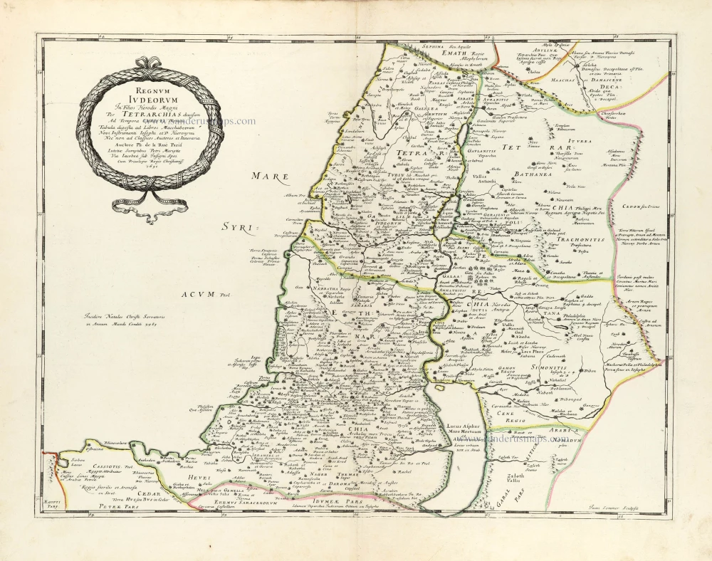
Historic map of the Kingdom of Judea in the time of Christ, by Philippe de la Rue, published by Pierre Mariette.

Regnum Iudeorum In Filios Herodis Magni. 1651
Historic map of the Kingdom of Judea in the time of Christ, by Philippe de la Rue, published by Pierre Mariette.
[Item number: 30060]

€320  ($348.8 / £268.8)
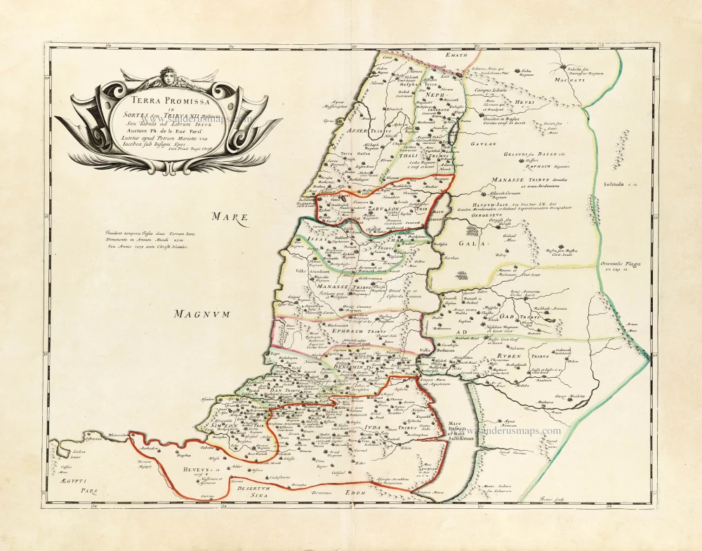
The Promised Land divided among the 12 Tribes, by Philippe de la Rue, published by Pierre Mariette.

Terra Promissa in Sortes seu Tribus XII Distincta. 1651
The Promised Land divided among the 12 Tribes, by Philippe de la Rue, published by Pierre Mariette.
[Item number: 30061]

€320  ($348.8 / £268.8)
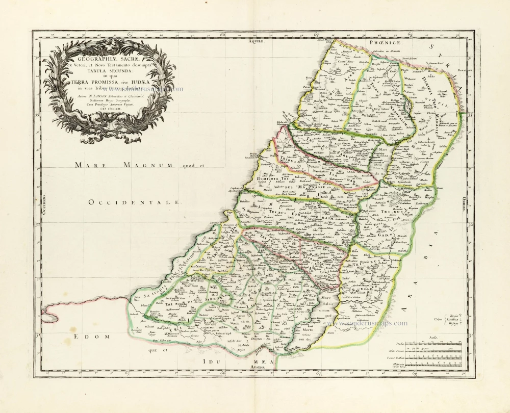
Holy Land by Nicolas Sanson.

Geographiae Sacrae ex Veteri et Novo Testamento desumptae Tabula Secunda: in qua Terra Promissa, sive Iudaea in suas Tribus Partesq, distincta. 1665
Holy Land by Nicolas Sanson.
[Item number: 30105]

€320  ($348.8 / £268.8)
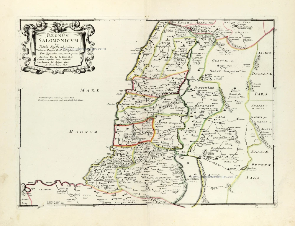
Historic map of the Kingdom of Solomon divided into 12 provinces, by Philippe de la Rue, published by Pierre Mariette.

Regnum Salomonicum Seu Tabula digesta ad Libros Judicum, Regum, Paral. et Prophetarum. 1651
Historic map of the Kingdom of Solomon divided into 12 provinces, by Philippe de la Rue, published by Pierre Mariette.
[Item number: 30106]

€300  ($327 / £252)
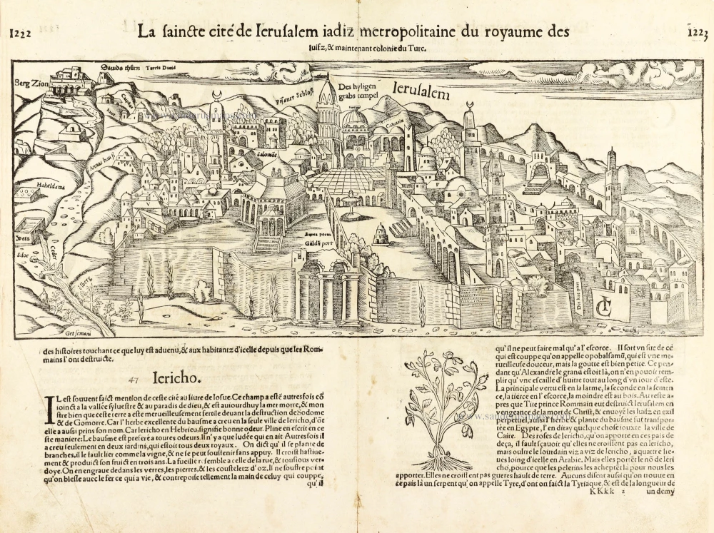
Jerusalem, by Sebastian Munster.

La saincte cité de Ierusalem iadiz metropolitaine du royaume des Iuifz, & maintenant colonie du Turc. 1568
Jerusalem, by Sebastian Munster.
[Item number: 30601]

€550  ($599.5 / £462)