
Atlas Title Page by J. Blaeu 1664-65
The Blaeus: Willem Janszoon, Cornelis & Joan
Willem Jansz. Blaeu and his son Joan Blaeu are the seventeenth century's most widely known cartographic publishers.
Willem Jansz. (also written Guilielmus Janssonius) = Willem Janszoon Blaeu was born in Uitgeest (Netherlands), near Alkmaar, in 1571. He studied mathematics under Tycho Brahe and learned the theory and practice of astronomical observations and the art of instrument- and globe-making.
In 1596, he came to Amsterdam, where he settled down as a globe-, instrument- and mapmaker. He published his first cartographic work (a globe) in 1599 and probably published his first printed map (a map of the Netherlands) in 1604. He specialised in maritime cartography, published the first edition of the pilot guide Het Licht der Zeevaert in 1608, and was appointed Hydrographer of the V.O.C. (United East India Company) in 1633. After publishing books, wall maps, globes, charts and pilot guides for thirty years, he brought out his first atlas, Atlas Appendix (1630). This was the beginning of the great tradition of atlas-making by the Blaeus.
In 1618, another mapmaker, bookseller and publisher, Johannes Janssonius, established himself in Amsterdam next door to Blaeu's shop. No wonder these two neighbours began accusing each other of copying and stealing their information and became fierce competitors who did not have a good word to say about each other. In about 1621 Willem Jansz. decided to end the confusion between his name and his competitor's and assumed his grandfather's nickname, 'blauwe Willem' ('blue Willem'), as the family name; after that, he called himself Willem Jansz. Blaeu.
Willem Janszoon Blaeu died in 1638, leaving his prospering business to his sons, Cornelis and Joan. We only know that Cornelis's name occurs in the prefaces of books and atlases until c. 1645.
Joan Blaeu, born in Amsterdam in 1596, became a partner in his father's book trade and printing business. 1638, he was appointed his father's successor in the Hydrographic Office of the V.O.C. His efforts culminated in the magnificent Atlas Major and the town books of the Netherlands and Italy – works unsurpassed in history and modern times, giving eternal fame to the name of the Blaeu's.
A fire ruined the business on February 23, 1672, and one year later, Dr. Joan Blaeu died. The fire and the director's passing caused the complete sale of the Blaeu House's stock. Five public auctions dispersed the remaining books, atlases, copperplates, globes, etc., among many other map dealers and publishers in Amsterdam. The majority was acquired by several booksellers acting in partnership.
In the succeeding years, the remaining printing department remained in the hands of the Blaeu family until 1695, when the printing house's inventory was sold at a public auction. That meant the end of the Blaeu family as a printing house of world renown.
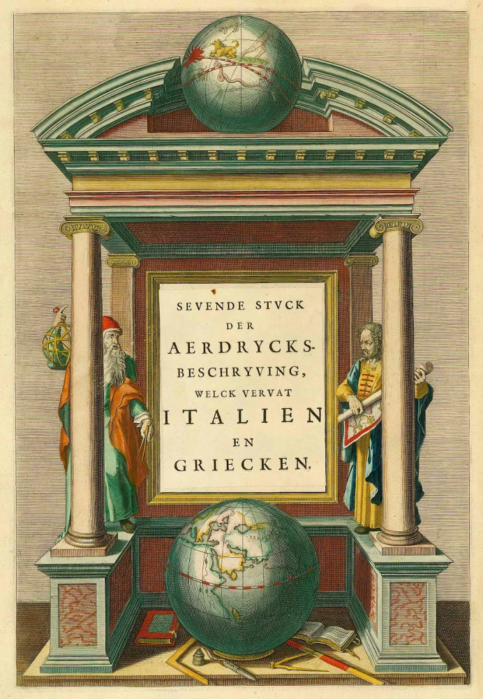
Sevende Stuck der Aerdrycks-Beschryving, welck vervat Italien en Griecken.
Item Number: 21621 Authenticity Guarantee
Category: Antique maps > Curiosities
Atlas Title Page by J. Blaeu.
Title: Sevende Stuck der Aerdrycks-Beschryving, welck vervat Italien en Griecken.
Date: 1664-65.
Copper engraving, printed on paper.
Size (not including margins): 410 x 275mm (16.14 x 10.83 inches).
Condition: Original coloured.
Condition Rating: A
From: J. Blaeus Grooten Atlas, oft Werelt- Beschryving, in welcke 't Aerdryck, de Zee, en Hemel, wort vertoont en beschreven. Amsterdam, J. Blaeu, 1664-65. (Van der Krogt 2, 621)
The Blaeus: Willem Janszoon, Cornelis & Joan
Willem Jansz. Blaeu and his son Joan Blaeu are the seventeenth century's most widely known cartographic publishers.
Willem Jansz. (also written Guilielmus Janssonius) = Willem Janszoon Blaeu was born in Uitgeest (Netherlands), near Alkmaar, in 1571. He studied mathematics under Tycho Brahe and learned the theory and practice of astronomical observations and the art of instrument- and globe-making.
In 1596, he came to Amsterdam, where he settled down as a globe-, instrument- and mapmaker. He published his first cartographic work (a globe) in 1599 and probably published his first printed map (a map of the Netherlands) in 1604. He specialised in maritime cartography, published the first edition of the pilot guide Het Licht der Zeevaert in 1608, and was appointed Hydrographer of the V.O.C. (United East India Company) in 1633. After publishing books, wall maps, globes, charts and pilot guides for thirty years, he brought out his first atlas, Atlas Appendix (1630). This was the beginning of the great tradition of atlas-making by the Blaeus.
In 1618, another mapmaker, bookseller and publisher, Johannes Janssonius, established himself in Amsterdam next door to Blaeu's shop. No wonder these two neighbours began accusing each other of copying and stealing their information and became fierce competitors who did not have a good word to say about each other. In about 1621 Willem Jansz. decided to end the confusion between his name and his competitor's and assumed his grandfather's nickname, 'blauwe Willem' ('blue Willem'), as the family name; after that, he called himself Willem Jansz. Blaeu.
Willem Janszoon Blaeu died in 1638, leaving his prospering business to his sons, Cornelis and Joan. We only know that Cornelis's name occurs in the prefaces of books and atlases until c. 1645.
Joan Blaeu, born in Amsterdam in 1596, became a partner in his father's book trade and printing business. 1638, he was appointed his father's successor in the Hydrographic Office of the V.O.C. His efforts culminated in the magnificent Atlas Major and the town books of the Netherlands and Italy – works unsurpassed in history and modern times, giving eternal fame to the name of the Blaeu's.
A fire ruined the business on February 23, 1672, and one year later, Dr. Joan Blaeu died. The fire and the director's passing caused the complete sale of the Blaeu House's stock. Five public auctions dispersed the remaining books, atlases, copperplates, globes, etc., among many other map dealers and publishers in Amsterdam. The majority was acquired by several booksellers acting in partnership.
In the succeeding years, the remaining printing department remained in the hands of the Blaeu family until 1695, when the printing house's inventory was sold at a public auction. That meant the end of the Blaeu family as a printing house of world renown.
Related items
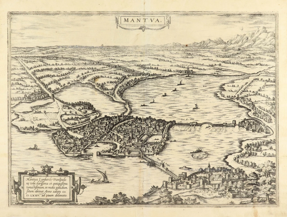
Mantua. 1593
Mantova by Georg Braun & Frans Hogenberg.
[Item number: 22182]
Scarce. Heightened in gold
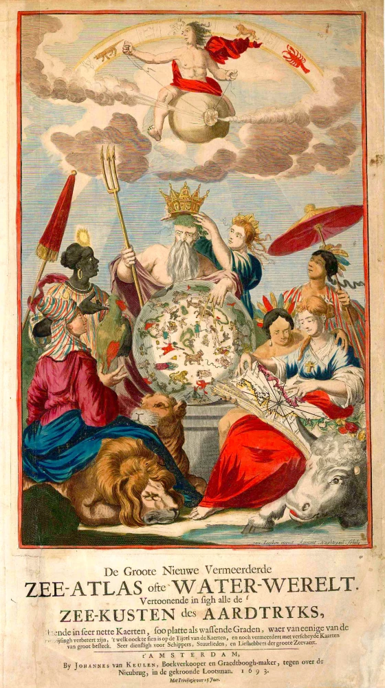
De Groote Nieuwe Vermeerderde Zee-Atlas ofte Water-Werelt. Vertoonende in sigh alle de Zee-Kusten des Aardtryks, ... 1693
Johannes Van Keulen, sea atlas title page.
[Item number: 26447]
The design is taken from Peter Paul Rubens
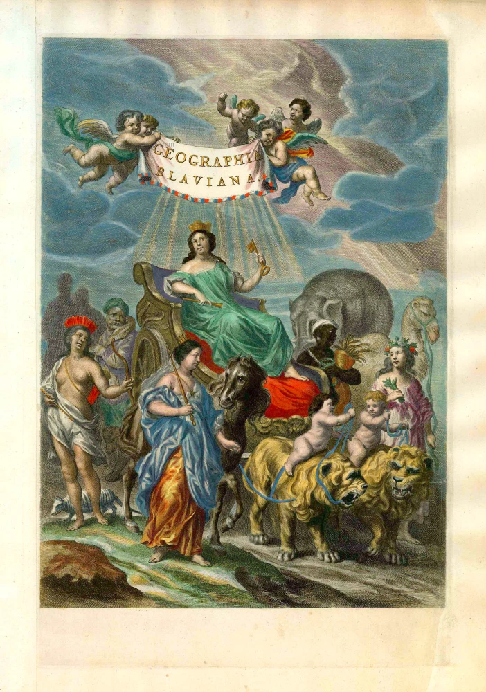
Geographia Blaviana. 1662
Joan Blaeu, 'Atlas Maior' title page.
[Item number: 26570]
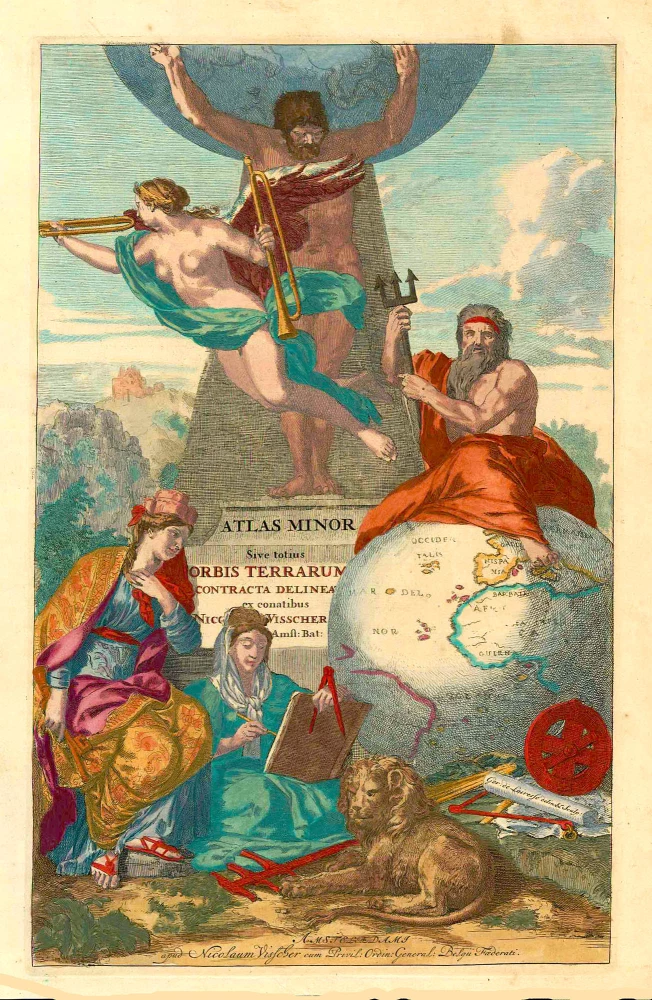
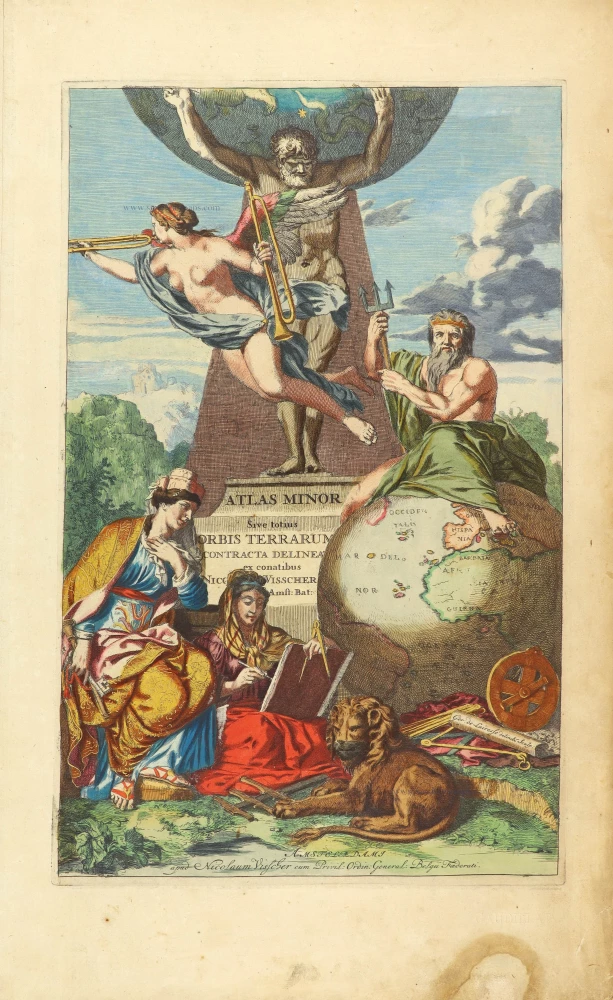
Atlas Minor Sive totius Orbis Terrarum contracta delineat(a) ex conatibus Nic(olaus) Visscher ... 1683-1702
Allegoric title page of the Atlas Minor, by Nicolaas Visscher II.
[Item number: 27022]
Rare
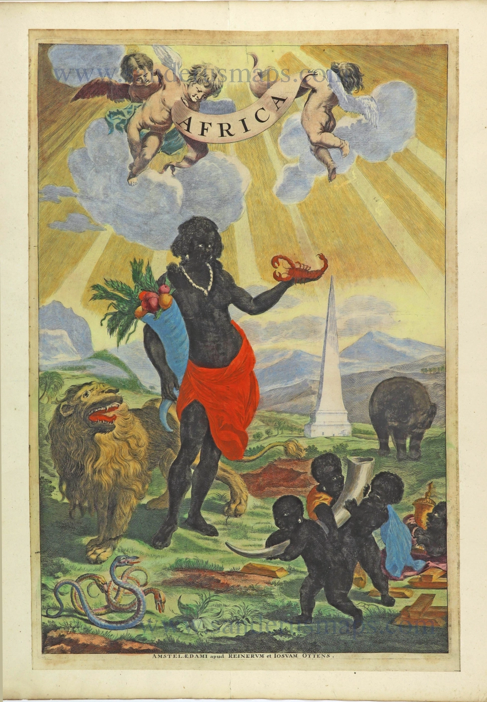
Africa. 1725-50.
Allegorical title page of Africa by Joan Blaeu, published by Reinier & Josua Ottens.
[Item number: 28506]
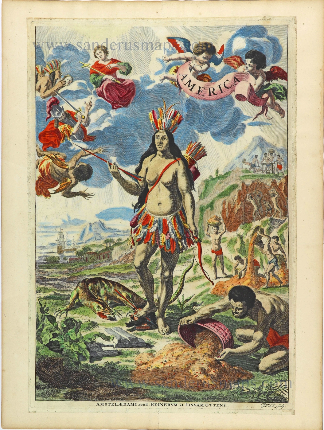
Rare. Alegorical title of America.
America. 1725-50.
Title page by Joan Blaeu, published by Reinier & Josua Ottens.
[Item number: 28507]
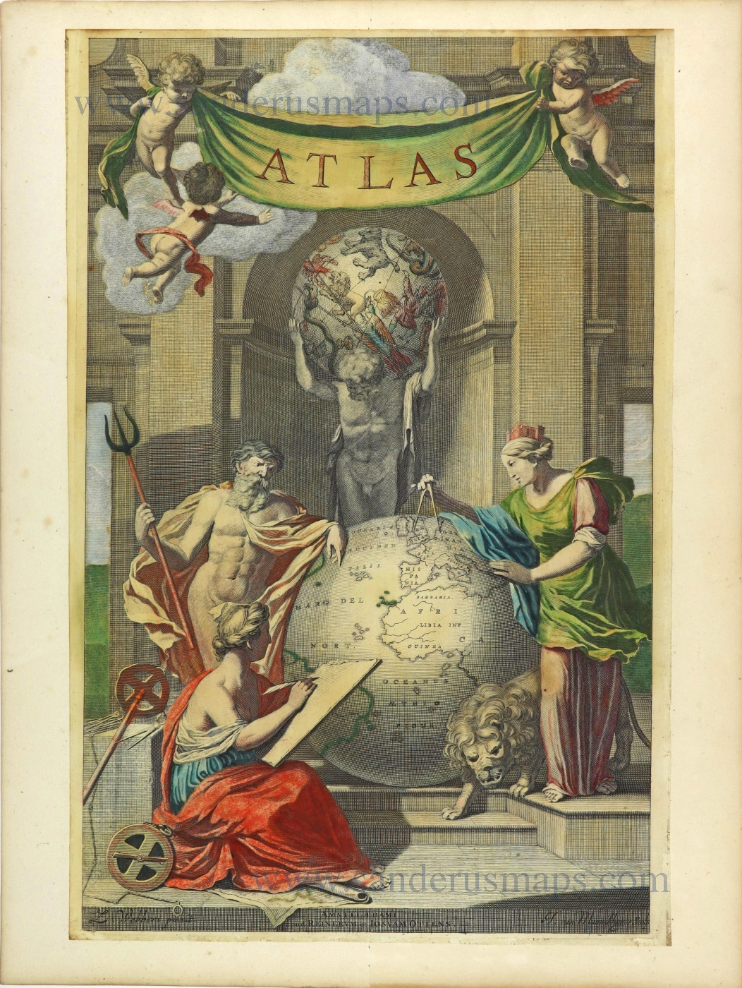
Atlas. 1725-50.
Allegorical title page by Joan Blaeu, published by Reinier & Josua Ottens.
[Item number: 28509]
Heightened in gold
Atlas Minor Sive totius Orbis Terrarum contracta delinea... 1683-1716
Allegorical atlas title page by Nicolaas Visscher II.
[Item number: 28787]
Exceptional nice old colour. Heightened in gold.
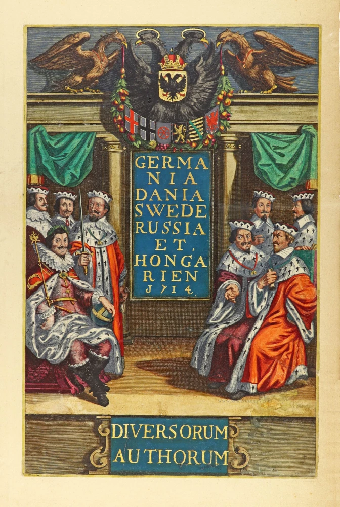
Germania Dania Swede Russia et Hongarien 1714. - Diversorum Authorum. 1714
Joannes Janssonius, title page
[Item number: 30095]

De Praecipuis, Totius Universi Urbibus Liber Secundus. 1575-1612
Georg Braun & Frans Hogenberg, allegorical atlas title page of the second part.
[Item number: 30096]
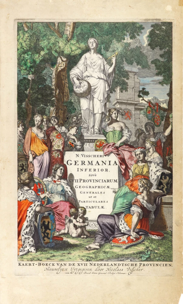
N: Visscheri Germania Inferior Sive XVII Provinciarum Geographicae Generales ut et Particulares Tabulae. - Kaert-Boeck van de XVII Nederlandtsche Provincien, Nieuwlycx uytgegeven door Nicolaes Visscher. After 1677 (privilege)
Atlas title page by Nicolas Visscher II.
[Item number: 30417]
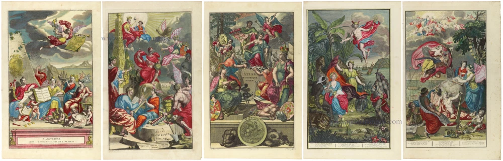
In rare original colour. - Complete set of frontispieces of the Atlas Historique
1713-1719
Zacharias Châtelain, allegorical title pages (5)
[Item number: 31448]

Rare title page of America made for the Zee-Fakkel
[No title] 1709
Allegoric title page by Joannes van Keulen.
[Item number: 31888]