
Georg Braun & Frans Hogenberg, allegorical atlas title page of the second part. 1575-1612

The title page of the second part is a continuation of the theme of the origin of cities in the first part. This title page continues the theme of human civilisation and progress through settlement and urbanisation. The polytheism of ancient Greek and Roman society is clearly represented, especially the deities of the home and domestic life, as are the symbols of civilised society that accompany them. It shows a statue of Cybele, sive Vestia, the mother Goddess of the Earth, seated on a chariot drawn by two lions. She is flanked by Religio ([Christian] religion), shown with a cross, bible and dove, and Politia (government), holding the keys of office, the books of the law and statute, and a symbolic staff of power. The richly decorated pedestal has a central, double Floris-style cartouche in which the title of the part appears in the square, upper field. In the oval lower vignette, the ceremony of marking out the outline or foundations of a new city or colony in Greek or Roman times (Urbis Condendae, sive Coloniae Ducendale, Ritus) is depicted along with a hooded figure on a plough drawn by two axen. In both bottom corners of the pedestal, two men are shown sitting on benches; they symbolize the Penates and Lares, respectively - the household gods of the Romans and the divinities presiding over the hearth and the whole house. (Van der Krogt)
Braun G. & Hogenberg F. and the Civitates Orbis Terrarum.
The Civitates Orbis Terrarum, also known as the 'Braun & Hogenberg', is a six-volume town atlas and the most excellent book of town views and plans ever published: 363 engravings, sometimes beautifully coloured. It was one of the best-selling works in the last quarter of the 16th century. Georg Braun, a skilled writer, wrote the text accompanying the plans and views on the verso. Many plates were engraved after the original drawings of a professional artist, Joris Hoefnagel (1542-1600). The first volume was published in Latin in 1572 and the sixth in 1617. Frans Hogenberg, a talented engraver, created the tables for volumes I through IV, and Simon van den Neuwel made those for volumes V and VI. Other contributors were cartographers Daniel Freese and Heinrich Rantzau, who provided valuable geographical information. Works by Jacob van Deventer, Sebastian Münster, and Johannes Stumpf were also used as references. Translations appeared in German and French, making the atlas accessible to a broader audience.
Since its original publication of volume 1 in 1572, the Civitates Orbis Terrarum has left an indelible mark on the history of cartography. Seven more editions followed the first volume in 1575, 1577, 1582, 1588, 1593, 1599, and 1612. Vol.2, initially released in 1575, saw subsequent editions in 1597 and 1612. The subsequent volumes, each a treasure trove of historical insights, graced the world in 1581, 1588, 1593, 1599, and 1606. The German translation of the first volume, a testament to its widespread appeal, debuted in 1574, followed by the French edition in 1575.
Several printers were involved: Theodor Graminaeus, Heinrich von Aich, Gottfried von Kempen, Johannis Sinniger, Bertram Buchholtz, and Peter von Brachel, all of whom worked in Cologne.
Georg Braun (1541-1622)
Georg Braun, the author of the text accompanying the plans and views in the Civitates Orbis Terrarum, was born in Cologne in 1541. After his studies in Cologne, he entered the Jesuit Order as a novice, indicating his commitment to learning and intellectual pursuits. In 1561, he obtained his bachelor's degree; in 1562, he received his Magister Artium, further demonstrating his academic achievements. Although he left the Jesuit Order, he continued his studies in theology, gaining a licentiate in theology. His theological background likely influenced the content and tone of the text in the Civitates Orbis Terrarum, adding a unique perspective to the work.
Frans Hogenberg (1535-1590)
Frans Hogenberg was a Flemish and German painter, engraver, and mapmaker. He was born in Mechelen as the son of Nicolaas Hogenberg.
By the end of the 1560s, Frans Hogenberg was employed upon Abraham Ortelius's Theatrum Orbis Terrarum, published in 1570; he is named an engraver of numerous maps. In 1568, he was banned from Antwerp by the Duke of Alva and travelled to London, where he stayed a few years before emigrating to Cologne. He immediately embarked on his two most important works, the Civitates, published in 1572 and the Geschichtsblätter, which appeared in several series from 1569 until about 1587.
Thanks to large-scale projects like the Geschichtsblätter and the Civitates, Hogenberg's social circumstances improved with each passing year. He died as a wealthy man in Cologne in 1590.
De Praecipuis, Totius Universi Urbibus Liber Secundus.
Item Number: 30096 Authenticity Guarantee
Category: Antique maps > Curiosities
Allegorical title page of the second part of the Civitates by Georg Braun & Frans Hogenberg.
Title: De Praecipuis, Totius Universi Urbibus Liber Secundus.
Date of the first edition: 1572.
Date of this map: 1575-1612.
Copper engraving, printed on paper.
Image size: 355 x 225mm (13.98 x 8.86 inches).
Sheet size: 395 x 265mm (15.55 x 10.43 inches).
Verso: Latin text.
Condition: Original coloured, some smudging in margins.
Condition Rating: A.
From: Civitates Orbis Terrarum, ... Part 2. Köln, 1575-1612.
The title page of the second part is a continuation of the theme of the origin of cities in the first part. This title page continues the theme of human civilisation and progress through settlement and urbanisation. The polytheism of ancient Greek and Roman society is clearly represented, especially the deities of the home and domestic life, as are the symbols of civilised society that accompany them. It shows a statue of Cybele, sive Vestia, the mother Goddess of the Earth, seated on a chariot drawn by two lions. She is flanked by Religio ([Christian] religion), shown with a cross, bible and dove, and Politia (government), holding the keys of office, the books of the law and statute, and a symbolic staff of power. The richly decorated pedestal has a central, double Floris-style cartouche in which the title of the part appears in the square, upper field. In the oval lower vignette, the ceremony of marking out the outline or foundations of a new city or colony in Greek or Roman times (Urbis Condendae, sive Coloniae Ducendale, Ritus) is depicted along with a hooded figure on a plough drawn by two axen. In both bottom corners of the pedestal, two men are shown sitting on benches; they symbolize the Penates and Lares, respectively - the household gods of the Romans and the divinities presiding over the hearth and the whole house. (Van der Krogt)
Braun G. & Hogenberg F. and the Civitates Orbis Terrarum.
The Civitates Orbis Terrarum, also known as the 'Braun & Hogenberg', is a six-volume town atlas and the most excellent book of town views and plans ever published: 363 engravings, sometimes beautifully coloured. It was one of the best-selling works in the last quarter of the 16th century. Georg Braun, a skilled writer, wrote the text accompanying the plans and views on the verso. Many plates were engraved after the original drawings of a professional artist, Joris Hoefnagel (1542-1600). The first volume was published in Latin in 1572 and the sixth in 1617. Frans Hogenberg, a talented engraver, created the tables for volumes I through IV, and Simon van den Neuwel made those for volumes V and VI. Other contributors were cartographers Daniel Freese and Heinrich Rantzau, who provided valuable geographical information. Works by Jacob van Deventer, Sebastian Münster, and Johannes Stumpf were also used as references. Translations appeared in German and French, making the atlas accessible to a broader audience.
Since its original publication of volume 1 in 1572, the Civitates Orbis Terrarum has left an indelible mark on the history of cartography. Seven more editions followed the first volume in 1575, 1577, 1582, 1588, 1593, 1599, and 1612. Vol.2, initially released in 1575, saw subsequent editions in 1597 and 1612. The subsequent volumes, each a treasure trove of historical insights, graced the world in 1581, 1588, 1593, 1599, and 1606. The German translation of the first volume, a testament to its widespread appeal, debuted in 1574, followed by the French edition in 1575.
Several printers were involved: Theodor Graminaeus, Heinrich von Aich, Gottfried von Kempen, Johannis Sinniger, Bertram Buchholtz, and Peter von Brachel, all of whom worked in Cologne.
Georg Braun (1541-1622)
Georg Braun, the author of the text accompanying the plans and views in the Civitates Orbis Terrarum, was born in Cologne in 1541. After his studies in Cologne, he entered the Jesuit Order as a novice, indicating his commitment to learning and intellectual pursuits. In 1561, he obtained his bachelor's degree; in 1562, he received his Magister Artium, further demonstrating his academic achievements. Although he left the Jesuit Order, he continued his studies in theology, gaining a licentiate in theology. His theological background likely influenced the content and tone of the text in the Civitates Orbis Terrarum, adding a unique perspective to the work.
Frans Hogenberg (1535-1590)
Frans Hogenberg was a Flemish and German painter, engraver, and mapmaker. He was born in Mechelen as the son of Nicolaas Hogenberg.
By the end of the 1560s, Frans Hogenberg was employed upon Abraham Ortelius's Theatrum Orbis Terrarum, published in 1570; he is named an engraver of numerous maps. In 1568, he was banned from Antwerp by the Duke of Alva and travelled to London, where he stayed a few years before emigrating to Cologne. He immediately embarked on his two most important works, the Civitates, published in 1572 and the Geschichtsblätter, which appeared in several series from 1569 until about 1587.
Thanks to large-scale projects like the Geschichtsblätter and the Civitates, Hogenberg's social circumstances improved with each passing year. He died as a wealthy man in Cologne in 1590.
Related items
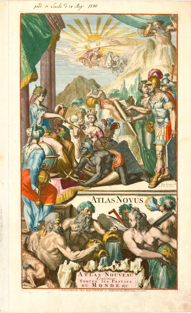
Atlas Novus - Atlas-Nouveau Contenant toutes les parties du Monde &c. 1733
Atlas title page, by Covens & Mortier.
[Item number: 12544]
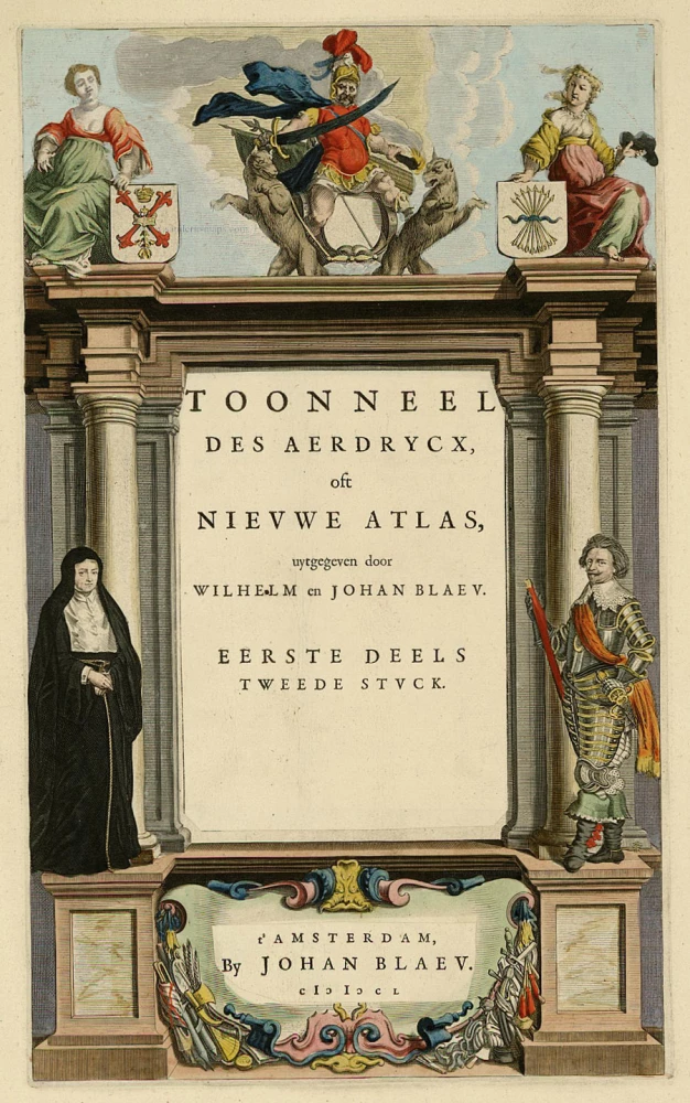
Toonneel des Aerdrycx, oft Nieuwe Atlas, uytgegeven door Wilhelm en Joan Blaeu. Eerste Deels Tweede Stuck. 1642-43
Atlas Title Page, by Blaeu W. & J.
[Item number: 21455]
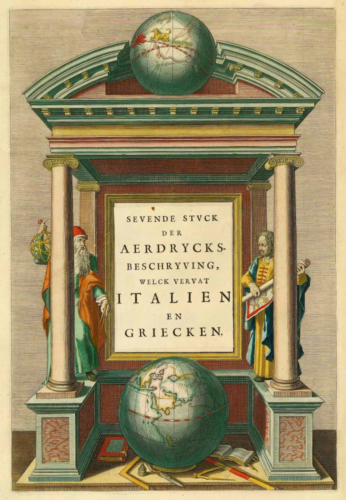
Sevende Stuck der Aerdrycks-Beschryving, welck vervat Italien en Griecken. 1664-65
Atlas Title Page by J. Blaeu
[Item number: 21621]
Scarce. Heightened in gold
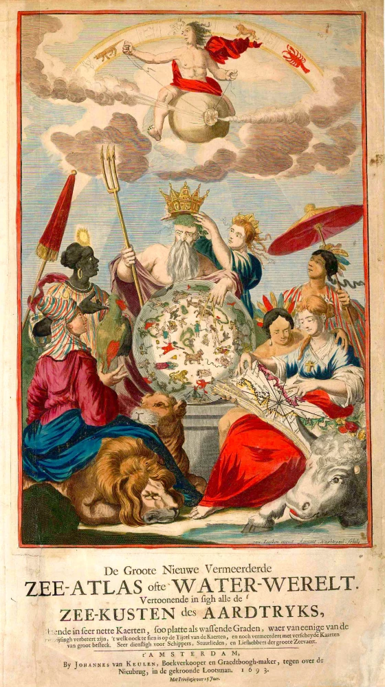
De Groote Nieuwe Vermeerderde Zee-Atlas ofte Water-Werelt. Vertoonende in sigh alle de Zee-Kusten des Aardtryks, ... 1693
Johannes Van Keulen, sea atlas title page.
[Item number: 26447]
The design is taken from Peter Paul Rubens
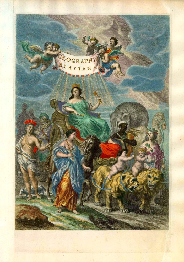
Geographia Blaviana. 1662
Joan Blaeu, 'Atlas Maior' title page.
[Item number: 26570]
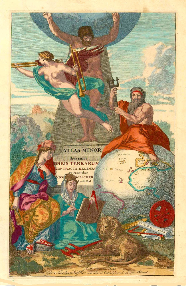
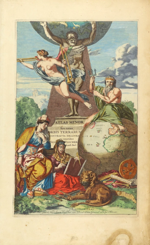
Atlas Minor Sive totius Orbis Terrarum contracta delineat(a) ex conatibus Nic(olaus) Visscher ... 1683-1702
Allegoric title page of the Atlas Minor, by Nicolaas Visscher II.
[Item number: 27022]
Rare
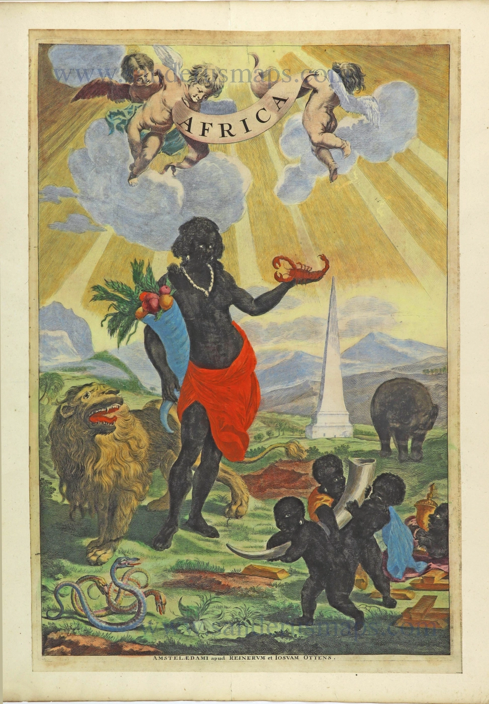
Africa. 1725-50.
Allegorical title page of Africa by Joan Blaeu, published by Reinier & Josua Ottens.
[Item number: 28506]
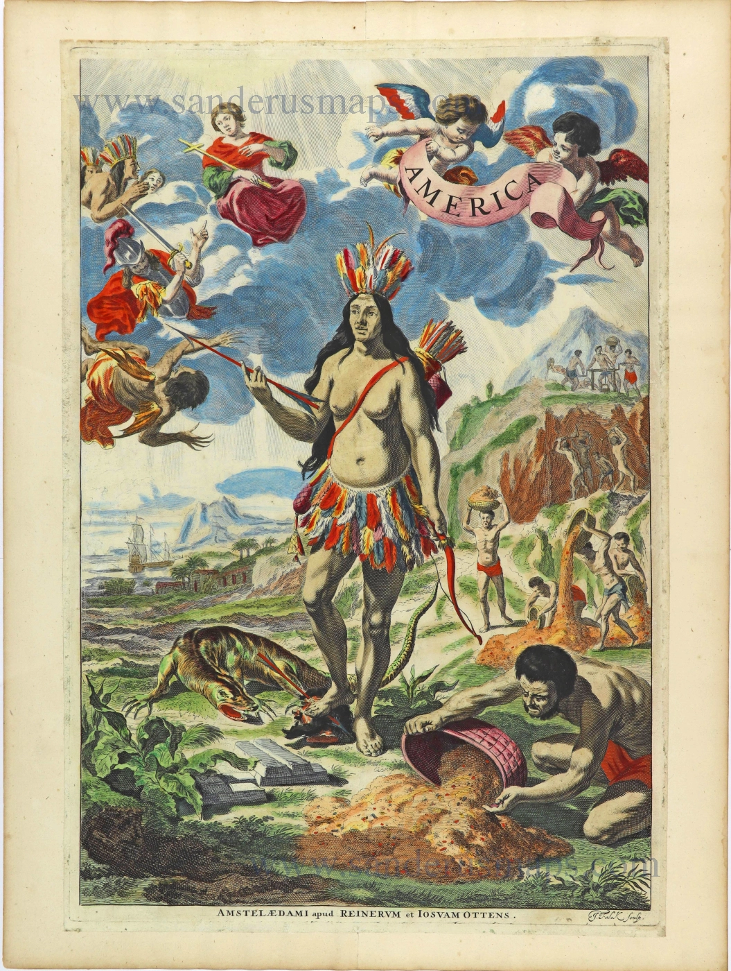
Rare. Alegorical title of America.
America. 1725-50.
Title page by Joan Blaeu, published by Reinier & Josua Ottens.
[Item number: 28507]
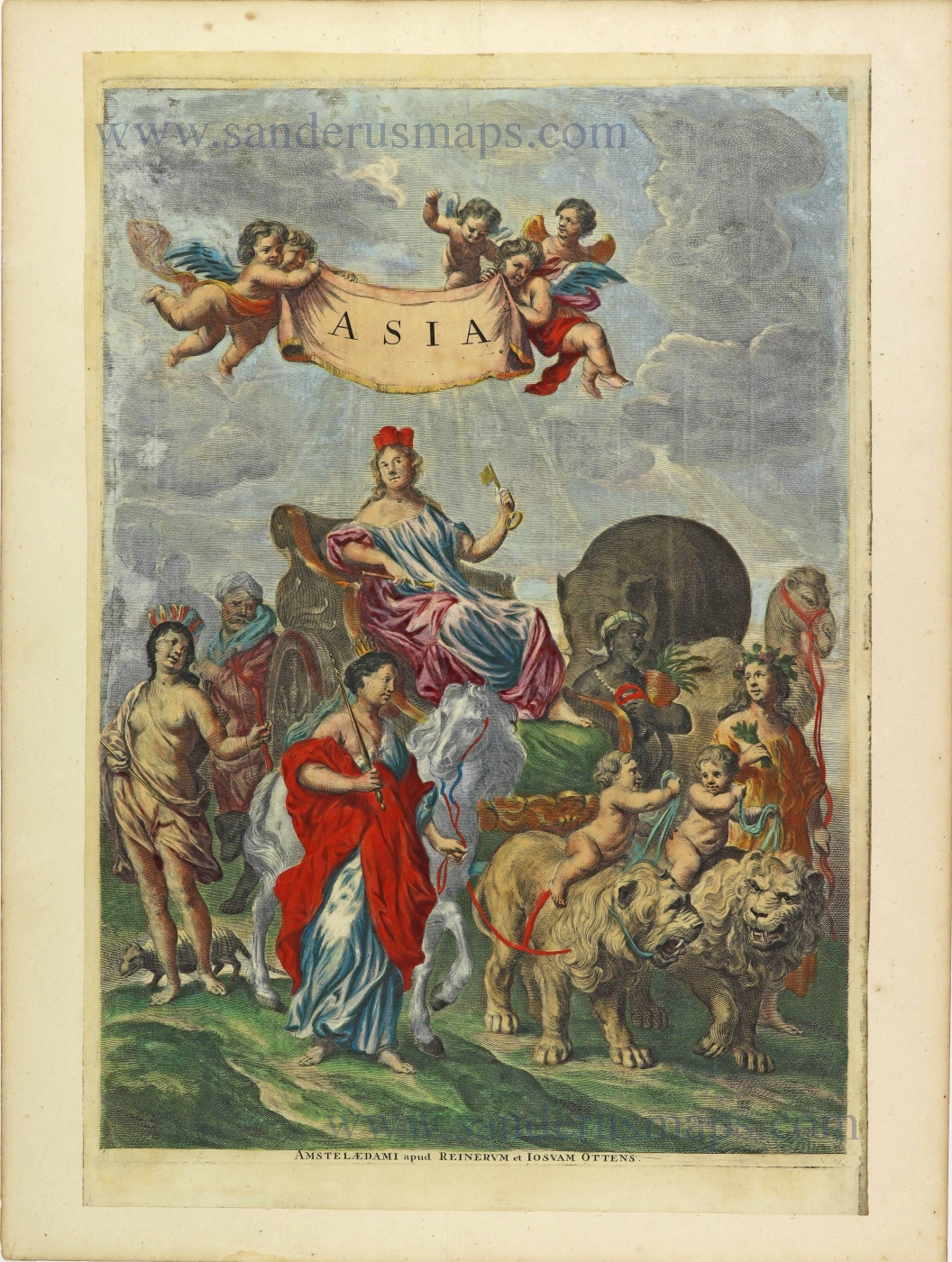
Asia. 1725-50.
Allegorical title page by Joan Blaeu, published by Reinier & Josua Ottens.
[Item number: 28508]
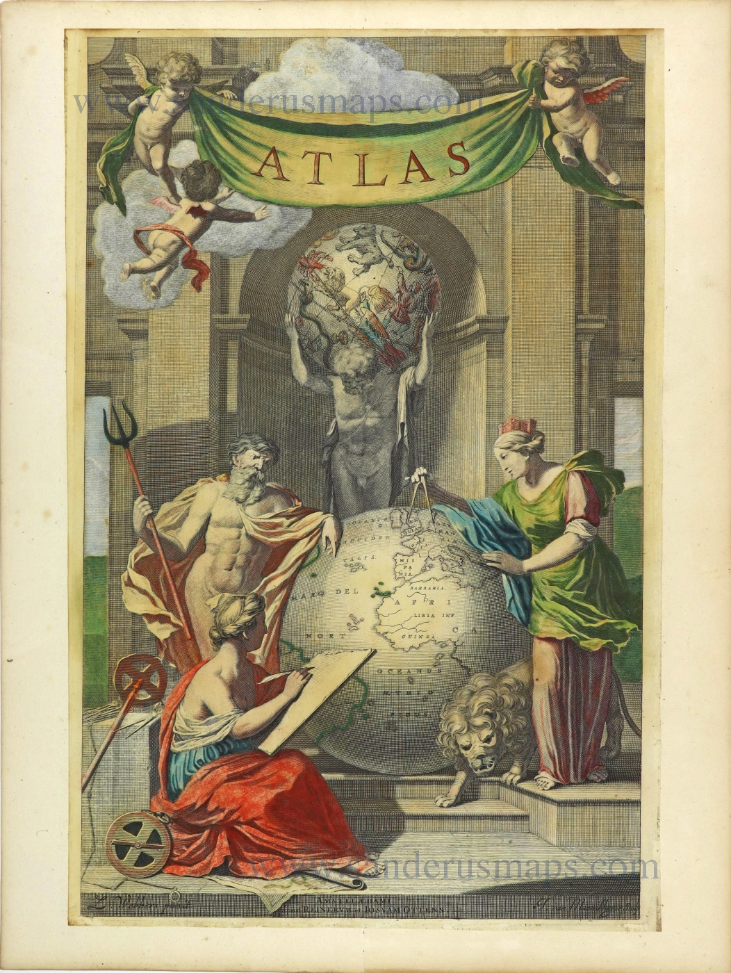
Atlas. 1725-50.
Allegorical title page by Joan Blaeu, published by Reinier & Josua Ottens.
[Item number: 28509]
Heightened in gold
Atlas Minor Sive totius Orbis Terrarum contracta delinea... 1683-1716
Allegorical atlas title page by Nicolaas Visscher II.
[Item number: 28787]
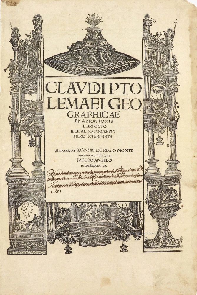
Title page by A. Dürer
Claudii Ptolemaei Geographiae Enarrationis libro octo ... 1525
Lorenz Fries' Ptolemy Atlas.
[Item number: 29251]
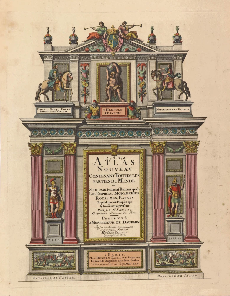
Atlas Nouveau, contenant toutes les parties du Monde, 1692
Title Page of a Sanson Atlas, published by Hubert Jaillot.
[Item number: 29712]
Rare Atlas Major title.
Europa. 1662
Title Page by Joan Blaeu.
[Item number: 29731]
Exceptional nice old colour. Heightened in gold.
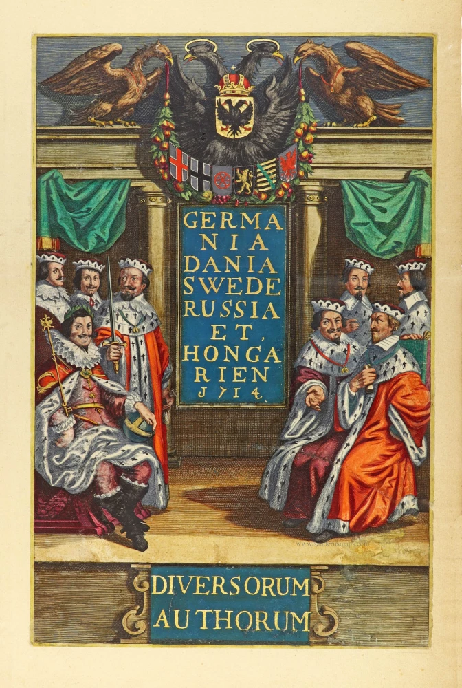
Germania Dania Swede Russia et Hongarien 1714. - Diversorum Authorum. 1714
Joannes Janssonius, title page
[Item number: 30095]
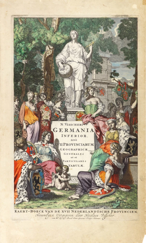
N: Visscheri Germania Inferior Sive XVII Provinciarum Geographicae Generales ut et Particulares Tabulae. - Kaert-Boeck van de XVII Nederlandtsche Provincien, Nieuwlycx uytgegeven door Nicolaes Visscher. After 1677 (privilege)
Atlas title page by Nicolas Visscher II.
[Item number: 30417]

Rare title page of America made for the Zee-Fakkel
[No title] 1709
Allegoric title page by Joannes van Keulen.
[Item number: 31888]