
Atlas title page by Nicolas Visscher II. After 1677 (privilege)
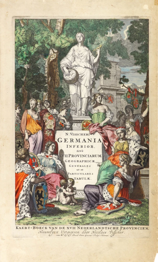
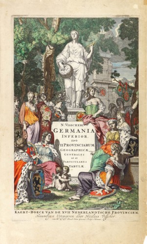

On this title page, the distinguished engraver Gerard de Lairesse's signature can be discerned on a plinth to the right. The gracefully attired maidens clustered around an imposing statue of the Muse of Geography can (if counted carefully and excluding the two putti in the foreground) be seen to number seventeen and thus correspond to the number of Dutch provinces. Some clasp their distinctive armorial shields; others appear as heads in the background leading to a wood and (to the right) a classical ruin. The central statue holds a globe and a pair of dividers, both attributes of the science (or art) of Geography.
The Visscher Family
For nearly a century, the members of the Visscher family were essential art dealers and map publishers in Amsterdam.
Claes Jansz. Visscher, or N.J. Piscator (1587-1652)
Claes Jansz. Vischer bought a house in Amsterdam, 'de gulden Bors', on the crucial Kalverstraat and changed the name into "In de Visscher"; under this title, the shop was to flourish for many years.
He was famous for his engravings and etchings of Dutch landscapes and 'historical scenes', such as sieges, battles, etc. These 'historical scenes' were considered contemporary illustrated news items, especially e.g. that of 'the Eighty Years' War'.
For the publication of his first atlas, he bought copperplates of the atlas Germania Inferior by Pieter van den Keere (1623).
In 1649, he published an atlas entitled Tabularum Geographicarum Contractarum, containing the same maps as Langenes' Caert Thresoor, for which Visscher had only new title pages engraved.
Claes Jansz. Visscher died in 1652. His wife, Neeltjen Florisdr., had already died in 1640. They had seven children, four of whom were still alive at Claes Jansz.'s death. One was Nicolaes Visscher I, who was to continue his father's business.
Nicolaes Visscher I (1618-1679)
Nicolaes Visscher I partnered with his father, continued the business, and stayed on the Kalverstraat 'in de Visscher' till his death.
In about 1657, the first edition of his Atlas Contractus Orbis Terrarum appeared.
Between 1664 and 1677, several editions of his Atlas Contractus appeared without a printed index, for these atlases had no fixed contents but were composed according to the buyer's financial leaping pole.
In May 1664, Nicolaes Visscher was admitted as a member of the Booksellers' Guild of his town. In July 1677, he was granted a patent of the States of Holland and West-Friesland for printing and publishing maps and atlases for 15 years.
After this, he again published an Atlas Contractus with a printed index. At about the same time, he also brought out an Atlas Minor.
Nicolaes Visscher II (1649-1702)
Nicolaes Visscher II inherited the 'shop' from his father. To obtain a new privilege, he applied to the States of Holland and West-Friesland in 1682 for a patent for printing and publishing maps. This patent was granted to him the same year. He moved the firm to the Dam, but it kept the same signboard: "In de Visscher".
Around 1683, he published his first Atlas Minor with a printed index of 91 maps. In 1684, an atlas Germania Inferior appeared. Till 1697, he published another number of atlases. He used his grandfather's (Claes Jansz.) maps less often now and relied more and more on his own.
The wars waged at this time initiated the compilation of maps of the countries where the armies operated. Many war maps were included in the various editions of his Atlas Minor.
After Nicolaes's death, his wife, Elizabeth Verseyl, published all the war maps as an atlas under the title De Stoel des Oorlogs in de Wereld (The seat of war in the world).
The widow of Nicolaes Visscher II (?-1726)
His widow continued the business energetically, and by her hand, under the name of her deceased husband, numerous atlases appeared, e.g., several editions of the Atlas Minor, an Atlas Maior and De Stoel des Oorlogs. The shop enjoyed a high reputation due to the assortment's incredible variety. Not only 'Visscher' maps but also maps of other publishers were obtainable. With the death of Elizabeth Verseyl in 1726, the last descendant died of a great map- and atlas-publishing firm in Amsterdam.
N: Visscheri Germania Inferior Sive XVII Provinciarum Geographicae Generales ut et Particulares Tabulae. - Kaert-Boeck van de XVII Nederlandtsche Provincien, Nieuwlycx uytgegeven door Nicolaes Visscher.
Item Number: 30417 Authenticity Guarantee
Category: Antique maps > Curiosities
Atlas title page by Nicolas Visscher II.
Title: N: Visscheri Germania Inferior Sive XVII Provinciarum Geographicae Generales ut et Particulares Tabulae. - Kaert-Boeck van de XVII Nederlandtsche Provincien, Nieuwlycx uytgegeven door Nicolaes Visscher.
cum Privi: Ordin: General: Belgii Foederati.
Engraver: Gerard de Lairesse.
Date of the first edition: c. 1663.
Date of this map: After 1677 (privilege).
Copper engraving, printed on paper.
Image size: 405 x 250mm (15.94 x 9.84 inches).
Sheet size: 490 x 290mm (19.29 x 11.42 inches).
Verso: Blank.
Condition: Original coloured, bottom right corner chipped (2x1 cm).
Condition Rating: A+.
From: Germania Inferior Sive XVII Provinciarum Geographicae Generales ut et Particulares Tabulae.
On this title page, the distinguished engraver Gerard de Lairesse's signature can be discerned on a plinth to the right. The gracefully attired maidens clustered around an imposing statue of the Muse of Geography can (if counted carefully and excluding the two putti in the foreground) be seen to number seventeen and thus correspond to the number of Dutch provinces. Some clasp their distinctive armorial shields; others appear as heads in the background leading to a wood and (to the right) a classical ruin. The central statue holds a globe and a pair of dividers, both attributes of the science (or art) of Geography.
The Visscher Family
For nearly a century, the members of the Visscher family were essential art dealers and map publishers in Amsterdam.
Claes Jansz. Visscher, or N.J. Piscator (1587-1652)
Claes Jansz. Vischer bought a house in Amsterdam, 'de gulden Bors', on the crucial Kalverstraat and changed the name into "In de Visscher"; under this title, the shop was to flourish for many years.
He was famous for his engravings and etchings of Dutch landscapes and 'historical scenes', such as sieges, battles, etc. These 'historical scenes' were considered contemporary illustrated news items, especially e.g. that of 'the Eighty Years' War'.
For the publication of his first atlas, he bought copperplates of the atlas Germania Inferior by Pieter van den Keere (1623).
In 1649, he published an atlas entitled Tabularum Geographicarum Contractarum, containing the same maps as Langenes' Caert Thresoor, for which Visscher had only new title pages engraved.
Claes Jansz. Visscher died in 1652. His wife, Neeltjen Florisdr., had already died in 1640. They had seven children, four of whom were still alive at Claes Jansz.'s death. One was Nicolaes Visscher I, who was to continue his father's business.
Nicolaes Visscher I (1618-1679)
Nicolaes Visscher I partnered with his father, continued the business, and stayed on the Kalverstraat 'in de Visscher' till his death.
In about 1657, the first edition of his Atlas Contractus Orbis Terrarum appeared.
Between 1664 and 1677, several editions of his Atlas Contractus appeared without a printed index, for these atlases had no fixed contents but were composed according to the buyer's financial leaping pole.
In May 1664, Nicolaes Visscher was admitted as a member of the Booksellers' Guild of his town. In July 1677, he was granted a patent of the States of Holland and West-Friesland for printing and publishing maps and atlases for 15 years.
After this, he again published an Atlas Contractus with a printed index. At about the same time, he also brought out an Atlas Minor.
Nicolaes Visscher II (1649-1702)
Nicolaes Visscher II inherited the 'shop' from his father. To obtain a new privilege, he applied to the States of Holland and West-Friesland in 1682 for a patent for printing and publishing maps. This patent was granted to him the same year. He moved the firm to the Dam, but it kept the same signboard: "In de Visscher".
Around 1683, he published his first Atlas Minor with a printed index of 91 maps. In 1684, an atlas Germania Inferior appeared. Till 1697, he published another number of atlases. He used his grandfather's (Claes Jansz.) maps less often now and relied more and more on his own.
The wars waged at this time initiated the compilation of maps of the countries where the armies operated. Many war maps were included in the various editions of his Atlas Minor.
After Nicolaes's death, his wife, Elizabeth Verseyl, published all the war maps as an atlas under the title De Stoel des Oorlogs in de Wereld (The seat of war in the world).
The widow of Nicolaes Visscher II (?-1726)
His widow continued the business energetically, and by her hand, under the name of her deceased husband, numerous atlases appeared, e.g., several editions of the Atlas Minor, an Atlas Maior and De Stoel des Oorlogs. The shop enjoyed a high reputation due to the assortment's incredible variety. Not only 'Visscher' maps but also maps of other publishers were obtainable. With the death of Elizabeth Verseyl in 1726, the last descendant died of a great map- and atlas-publishing firm in Amsterdam.
Related items
Atlas Novus - Atlas-Nouveau Contenant toutes les parties du Monde &c. 1733
Atlas title page, by Covens & Mortier.
[Item number: 12544]
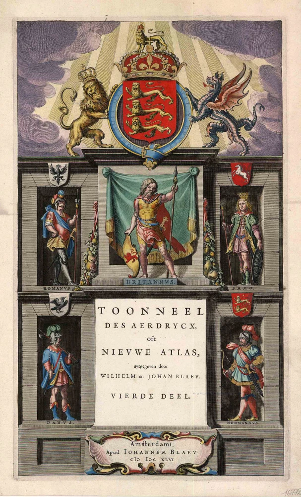
Toonneel des Aerdrycx, oft Nieuwe Atlas, uytgegeven door Wilhelm en Joan Blaeu. Vierde Deel. 1642-43
Atlas title page for the Blaeu Atlas of England
[Item number: 16772]
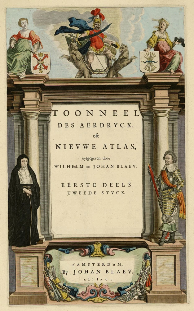
Toonneel des Aerdrycx, oft Nieuwe Atlas, uytgegeven door Wilhelm en Joan Blaeu. Eerste Deels Tweede Stuck. 1642-43
Atlas Title Page, by Blaeu W. & J.
[Item number: 21455]
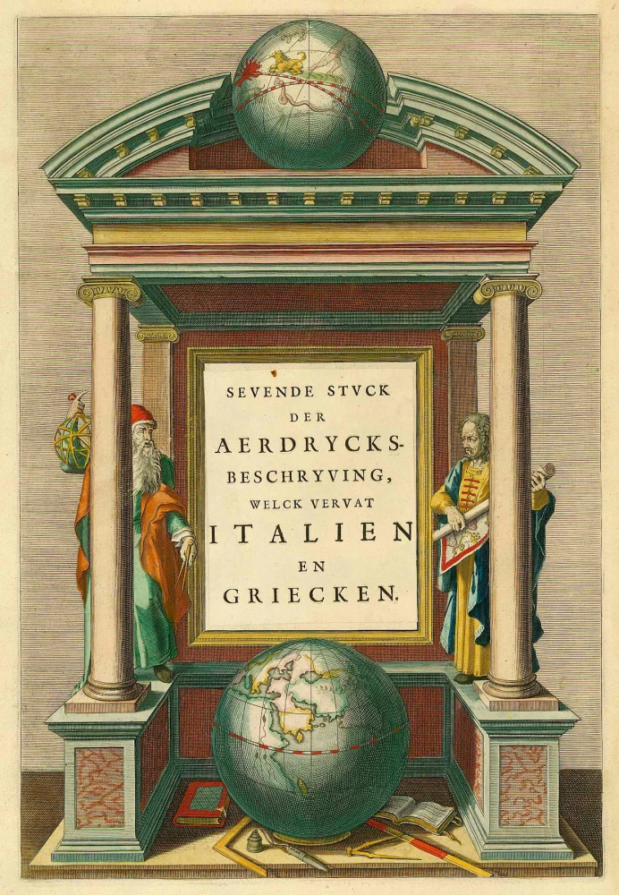
Sevende Stuck der Aerdrycks-Beschryving, welck vervat Italien en Griecken. 1664-65
Atlas Title Page by J. Blaeu
[Item number: 21621]
Scarce. Heightened in gold
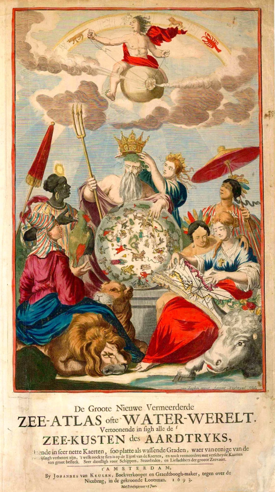
De Groote Nieuwe Vermeerderde Zee-Atlas ofte Water-Werelt. Vertoonende in sigh alle de Zee-Kusten des Aardtryks, ... 1693
Johannes Van Keulen, sea atlas title page.
[Item number: 26447]
The design is taken from Peter Paul Rubens
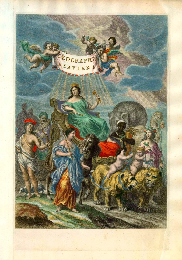
Geographia Blaviana. 1662
Joan Blaeu, 'Atlas Maior' title page.
[Item number: 26570]
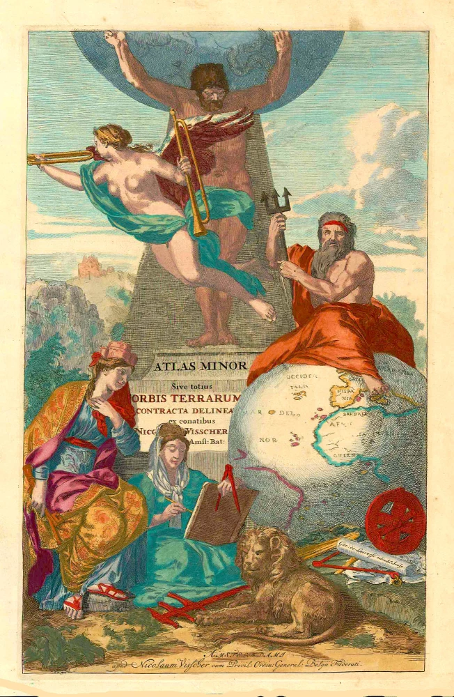
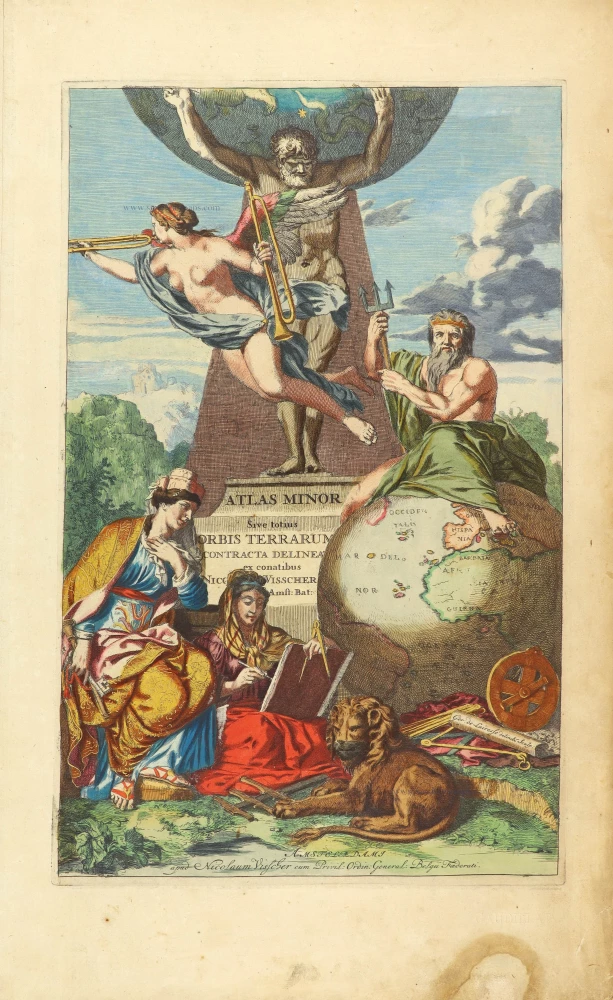
Atlas Minor Sive totius Orbis Terrarum contracta delineat(a) ex conatibus Nic(olaus) Visscher ... 1683-1702
Allegoric title page of the Atlas Minor, by Nicolaas Visscher II.
[Item number: 27022]
Rare
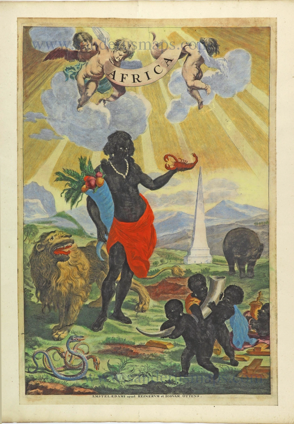
Africa. 1725-50.
Allegorical title page of Africa by Joan Blaeu, published by Reinier & Josua Ottens.
[Item number: 28506]
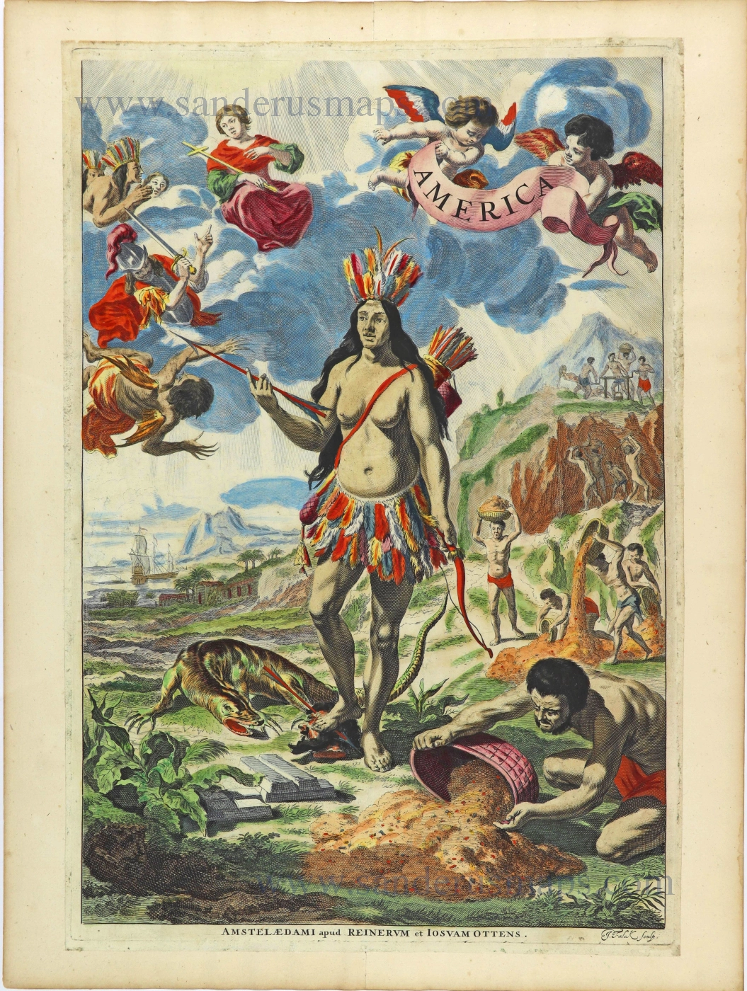
Rare. Alegorical title of America.
America. 1725-50.
Title page by Joan Blaeu, published by Reinier & Josua Ottens.
[Item number: 28507]
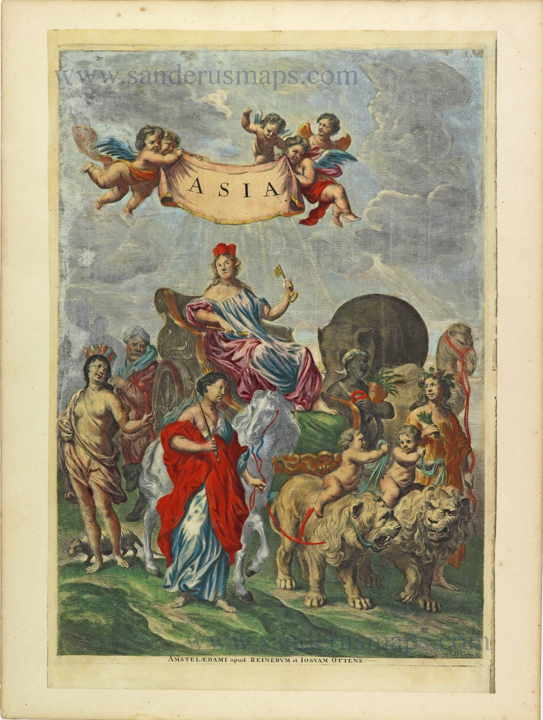
Asia. 1725-50.
Allegorical title page by Joan Blaeu, published by Reinier & Josua Ottens.
[Item number: 28508]
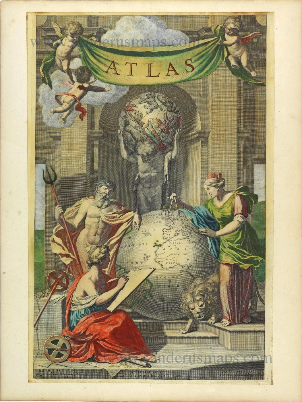
Atlas. 1725-50.
Allegorical title page by Joan Blaeu, published by Reinier & Josua Ottens.
[Item number: 28509]
Heightened in gold
Atlas Minor Sive totius Orbis Terrarum contracta delinea... 1683-1716
Allegorical atlas title page by Nicolaas Visscher II.
[Item number: 28787]
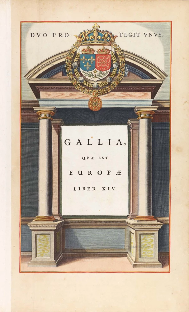
Gallia, quae est Europae Liber XIV. 1640-43
Title page for the France section of Blaeu's
[Item number: 28998]
Title page by A. Dürer
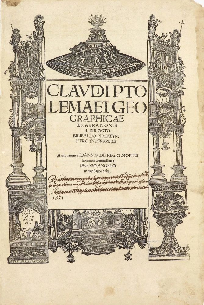
Claudii Ptolemaei Geographiae Enarrationis libro octo ... 1525
Lorenz Fries' Ptolemy Atlas.
[Item number: 29251]
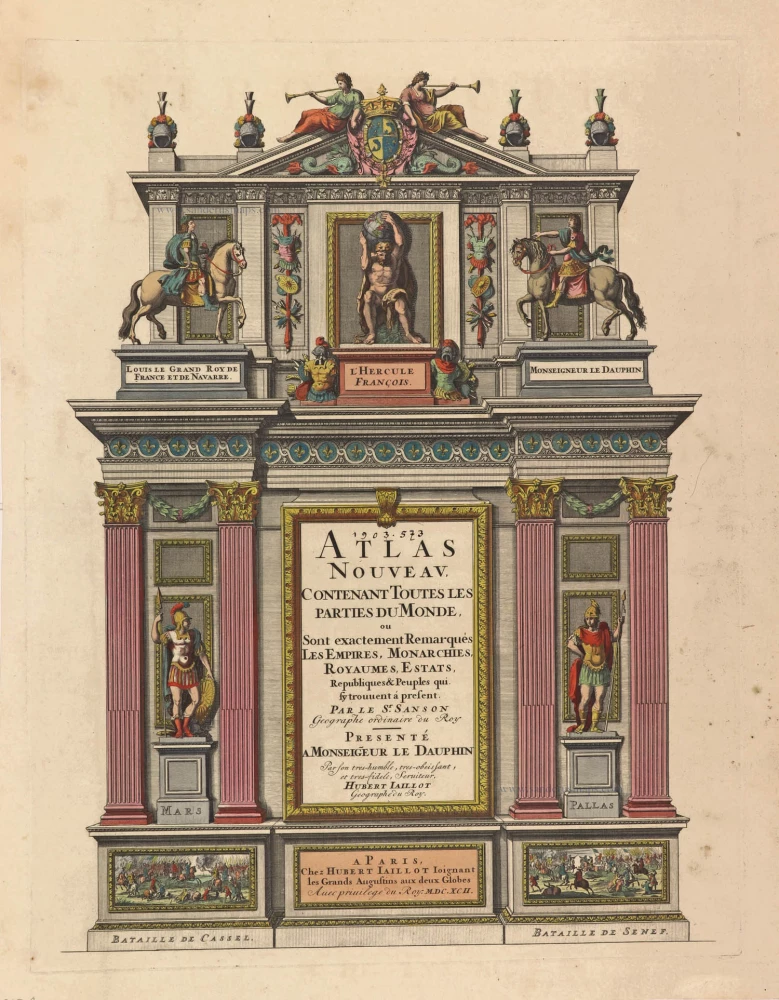
Atlas Nouveau, contenant toutes les parties du Monde, 1692
Title Page of a Sanson Atlas, published by Hubert Jaillot.
[Item number: 29712]
Exceptional nice old colour. Heightened in gold.
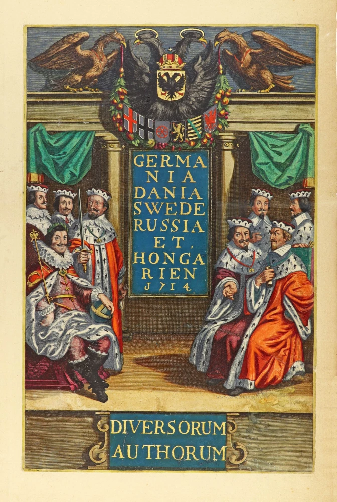
Germania Dania Swede Russia et Hongarien 1714. - Diversorum Authorum. 1714
Joannes Janssonius, title page
[Item number: 30095]

De Praecipuis, Totius Universi Urbibus Liber Secundus. 1575-1612
Georg Braun & Frans Hogenberg, allegorical atlas title page of the second part.
[Item number: 30096]
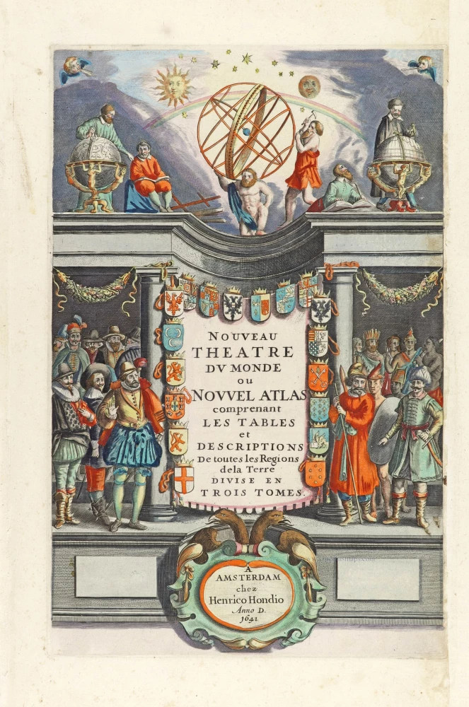
Nouveau Theatre du Monde ou Nouvel Atlas comprenant Les Tables et Descriptions de toutes les Regions de la Terre. 1641
Allegorical atlas title page by Henricus Hondius.
[Item number: 30116]
Novus Atlas Sinensis a Martino Martinio Soc. Iesu Descriptus et Serenissimo Archiduci Leopoldo Guilielmo Austriaco Dedicatus. 1655
Title page for Blaeu's atlas of China as part of the Theatrum Orbis Terrarum.
[Item number: 30153]
![Linschoten's <i>Voyagie, ofte Schip-Vaert</i> Anno 1594 en[de] 1595. With inset of Yugor Strait.](https://sanderusmaps.com/assets/WEBP/m30292.webp)
Title page of the first edition of Linschoten's Arctic voyages in search of the North-East Passage to China.
Voyagie, ofte Schip-Vaert, van Ian Huyghen van Linschoten 1601
Linschoten's Voyagie, ofte Schip-Vaert Anno 1594 en[de] 1595. With inset of Yugor Strait.
[Item number: 30292]

Rare title page of America made for the Zee-Fakkel
[No title] 1709
Allegoric title page by Joannes van Keulen.
[Item number: 31888]