
An exceptionally accurate map of Ghent for its time
Gent by George Goethals. 1796
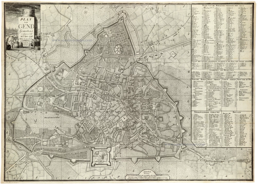
Goethals' map of Ghent is an exceptionally accurate map for its time.
George Goethals, surveyor in Ghent, working c. 1790-1800.
Plan van Gend.
Item Number: 33285 new Authenticity Guarantee
Category: Antique maps > Europe > Belgium - Cities
Gent by George Goethals.
Title: Plan van Gend.
Gemeeten en gegraveerd in't Iaer 1796.
Door G. Goethals.
Te Gend by P.F. de Goesin-Verhaeghe op d'Hoohpoort N° 229.
With an extensive key.
Date: 1796.
Date on map: 1796.
Copper engraving, printed on paper.
Image size: 515 x 725mm (20¼ x 28½ inches).
Sheet size: 530 x 740mm (20¾ x 29¼ inches).
Verso: Blank.
Condition: Folds as issued.
Condition Rating: A+.
Separate publication.
Goethals' map of Ghent is an exceptionally accurate map for its time.
George Goethals, surveyor in Ghent, working c. 1790-1800.
Related items

Casino, pour les Sociétés de Botanique et Ste. Cécile, à Gand. - Casono, for the Botanical and Ste Cecilia Sociétes, at Gent. ca. 1840
Gent - Casino by Henri Borremans.
[Item number: 359]

Gandavum, Amplißima Flandria Urbs ... 1657
Ghent (Gent) by Georg Braun & Frans Hogenberg, published by Johannes Janssonius.
[Item number: 2687]

1842
GENT - Stadhuis & Belfort by Louis Haghe.
[Item number: 5844]

Rare.
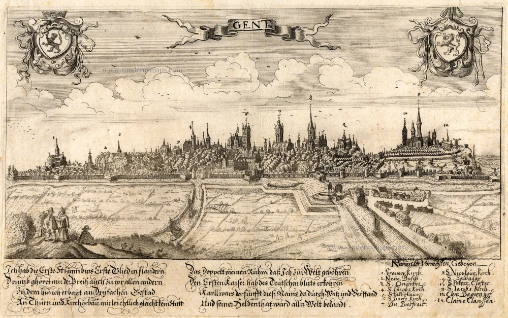
Gent. c. 1660
Gent, by Focken Hendrick
[Item number: 21312]
Rare.
Gent ca. 1650
Gent by Schnitzer Lucas
[Item number: 21998]
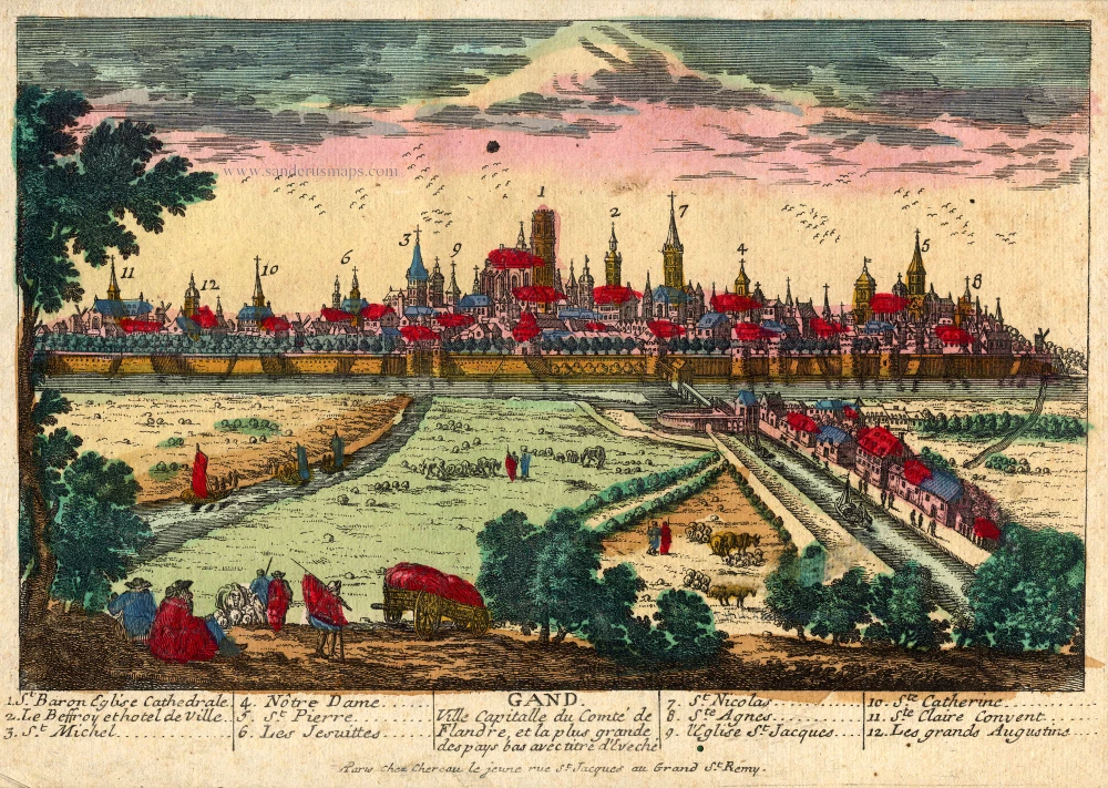
Gand. Ville Capitalle du Comté de Flandre, et la plus grande des pays bas avec titre d'Eveché c. 1720
Gent, by Chéreau.
[Item number: 22537]

Ghendt 1656
Gent, by Visscher N. - Schut P.H.
[Item number: 25397]
Rare!
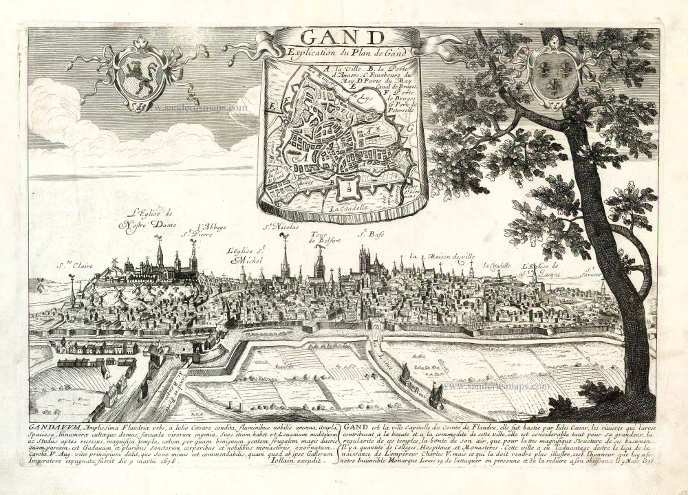
Gand. c. 1678
Ghent by Gerard Jollain. (Gent)
[Item number: 26705]

Gent. 1659
Gent, by Matthäus Merian.
[Item number: 27411]

Eglise de St Nicolas à Gand - The church of St Nicolas at Ghent. ca,1830
St.-Niklaaskerk (Gent) by BORREMANS
[Item number: 27418]

Plan du siège et des attaques de la ville et citadelle de Gand assiégée par les armées des alliez le 22 décembre 1708. ... 1729
Gent, by Jean Dumont.
[Item number: 27430]

Maison antique des Francs Bateliers de Gand. - Watermen's Hall at Ghent. c. 1840
Graslei - Gent, door Tessaro - L. Stroobant.
[Item number: 27986]
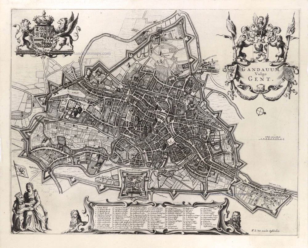
Gandavum vulgo Gent. c. 1700
Gent by Frederick de Wit.
[Item number: 29517]

Ghendt. 1613
Gent by Ludovico Guicciardini.
[Item number: 29558]

Ghent. 1833
Ghent (Gent) Three towers - Drie torens, by S. Prout.
[Item number: 30027]
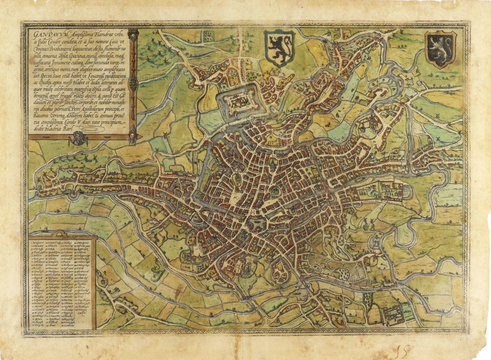
Gandavum, Amplissima Flandriae urbs, ... 1599
Gent by Georg Braun & Frans Hogenberg.
[Item number: 31325]
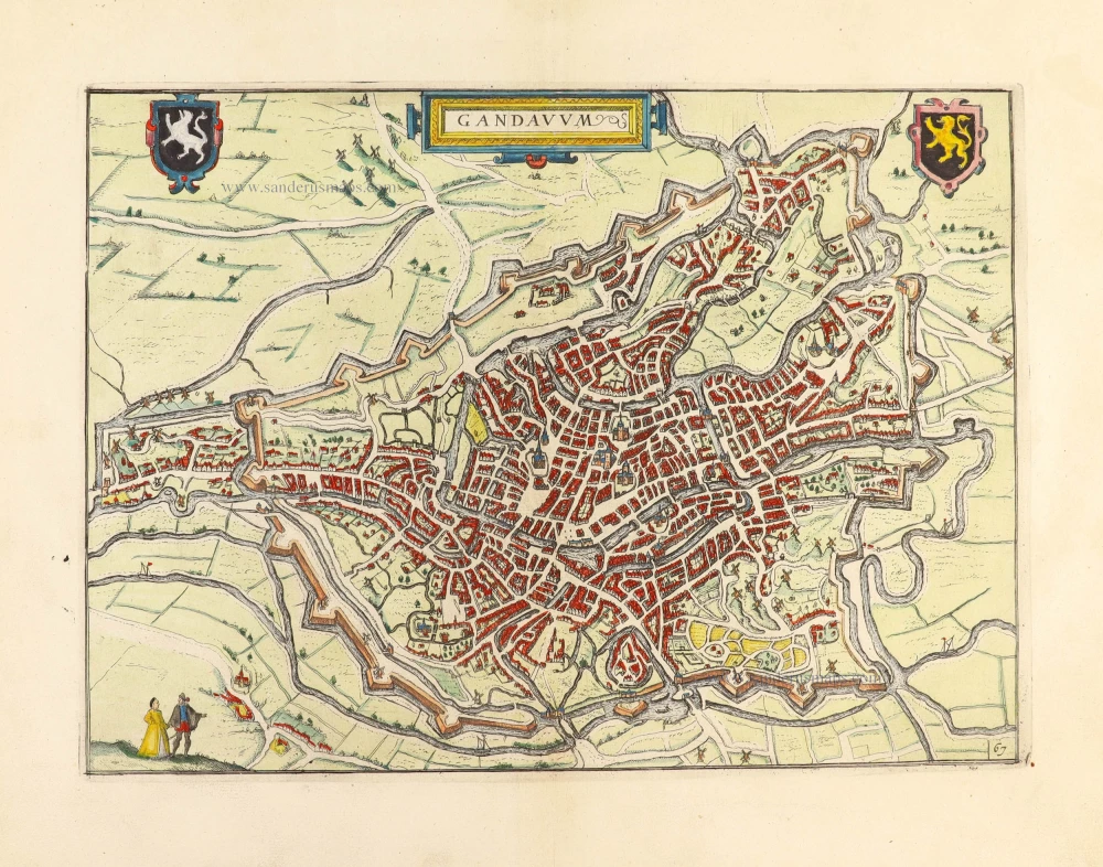
Gandavum. 1612
Gent by Lodovico Guicciardini.
[Item number: 31373]

Gandavum vulgo Gent. 1641
Gent (Ghent) by Antonius Sanderus.
[Item number: 31606]

Ecclesia Collegiata Divi Pharahildis. - Petra Comitis vulgo Het Graven Casteel. 1641
Gent - Gravenkasteel en omgeving door Antonius Sanderus.
[Item number: 31609]

Macellum maius cum foro Piscario. 1641
Gent - Vleeshalle en Vismarkt door Antonius Sanderus.
[Item number: 31610]

Ecclesia Divo Ioanni Baptistae Sacra. 1641
Gent - St.-Baafskathedraal door Antonius Sanderus.
[Item number: 31612]

Forum Veneris Vulgo De Vrydach Maert et Ecclesia S. Iacobi. - Ecclesia Parochialis Sti Nicolai. Iuxta forum frumentarium Gandavi. 1641
Gent - Vrijdagmarkt & St.-Jacobskerk - Korenmarkt & St.-Niklaaskerk, door Antonius Sanderus.
[Item number: 31615]
![Gent - Kouter en St.-Sebastiaanshof [Verso:] Gildehuis St.-Joris, door Antonius Sanderus.](https://sanderusmaps.com/assets/IMG/webp/m31623.webp)
Hippodromus Gandavensis cum adiacentibus aedificiis et Aula Sti Sebastiani. [Verso:] Domus Gildae S. Georgii Vulgo St Ioris Hoff 1641
Gent - Kouter en St.-Sebastiaanshof [Verso:] Gildehuis St.-Joris, door Antonius Sanderus.
[Item number: 31623]

Exceptional beautiful colour
Gandavum, Amplissima Flandriae urbs, ... 1693
Gent by Georg Braun & Frans Hogenberg.
[Item number: 32474]

Laudum Monumenta tuarum Ferdinande vides. 1636
Gent - Vrijdagmarkt by G. Becanus.
[Item number: 32536]

Rare city plan
Plan de la ville de Gand et de ses Faubourgs. 1830
Gent by M. Delhoungne. (Ghent)
[Item number: 32618]

Porte d'Eau à Gand. 1823
Gent - Rabot, lithograph by Dewasme, after Prosper de la Barrière.
[Item number: 32811]

Eglise St. Pierre à Gand. 1823
Gent - St.-Pietersabdij, lithograph by Dewasme, after Prosper de la Barrière.
[Item number: 32812]

Le Vieux Bourg à Gand; 1823
Gent - Gravenkasteel, lithograph by Dewasme, after Prosper de la Barrière.
[Item number: 33048]

Entrée de la Cour du Prince à Gand. 1823
Gent - Prinsenhof, lithograph by Dewasme, after Prosper de la Barrière.
[Item number: 33105]
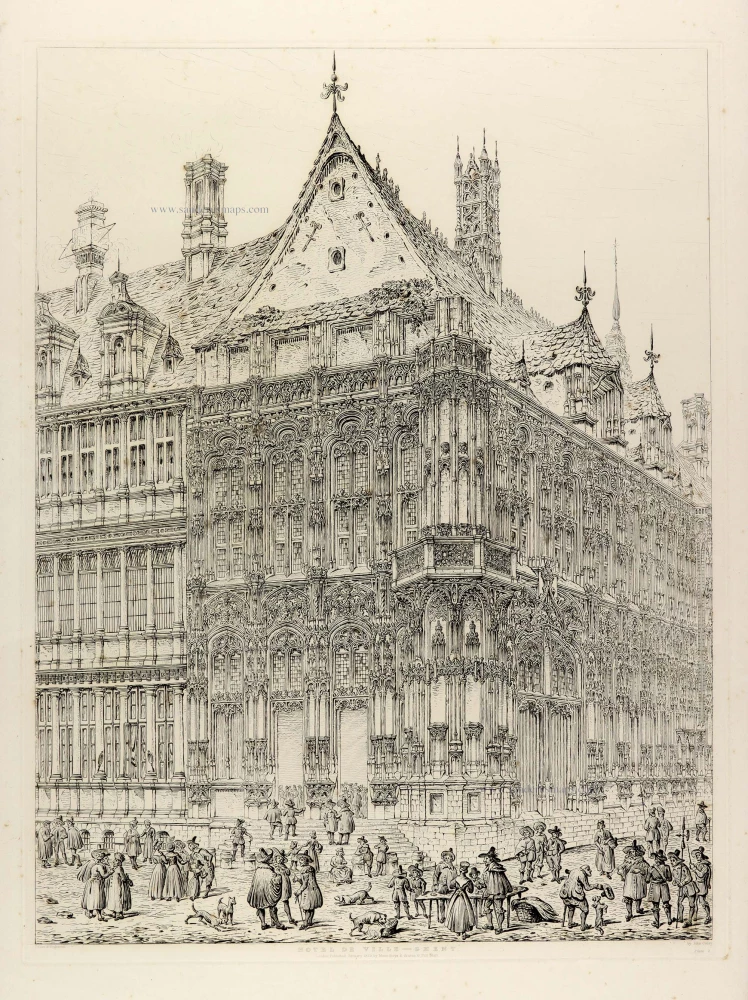
Hotel de Ville - Ghent. 1829
Ghent (Gent), City Hall, by J. Coney.
[Item number: 33111]