
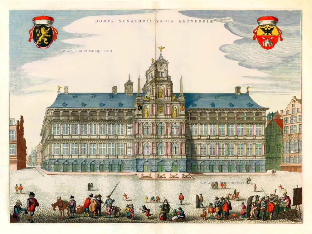
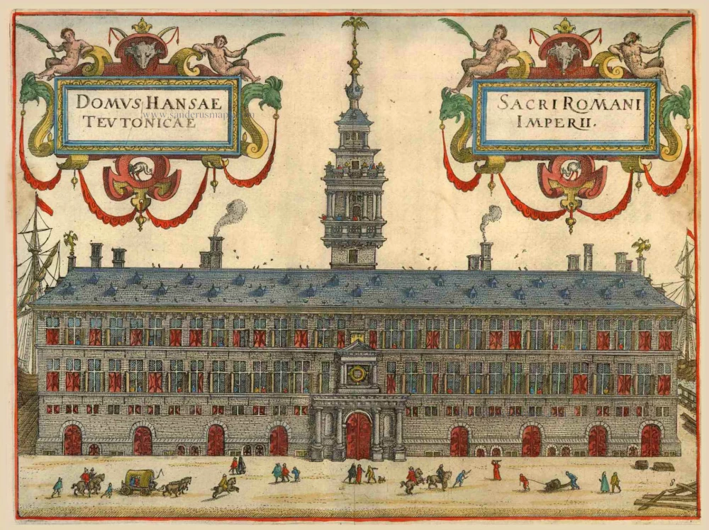
City Hall of Antwerp, by J. Blaeu. 1652


The Blaeus: Willem Janszoon, Cornelis & Joan
Willem Jansz. Blaeu and his son Joan Blaeu are the most widely known cartographic publishers of the seventeenth century.
Willem Jansz. (also written Guilielmus Janssonius) = Willem Janszoon Blaeu, was born in Uitgeest (Netherlands), near Alkmaar in 1571. He studied mathematics under Tycho Brahe and learned the theory and practice of astronomical observations and the art of instrument- and globe making.
In 1596 he came to Amsterdam where he settled down as a globe-, instrument- and map-maker. He published his first cartographic work (a globe) in 1599 and probably published his first printed map (a map of the Netherlands) in 1604. He specialized in maritime cartography and published the first edition of the pilot guide Het Licht der Zeevaert in 1608, and was appointed Hydrographer of the V.O.C. (United East India Company) in 1633. After thirty years of publishing books, wall maps, globes, charts and pilot guides, he brought out his first atlas, Atlas Appendix (1630). This was the beginning of the great tradition of atlas-making by the Blaeus.
In 1618 another mapmaker, bookseller and publisher, Johannes Janssonius established himself in Amsterdam next door to Blaeu's shop. It is no wonder that these two neighbours, who began accusing each other of copying and stealing their information, became fierce competitors who did not have a good word to say about each other. In about 1621 Willem Jansz. decided to put an end to the confusion between his name and his competitor's, and assumed his grandfather's sobriquet, 'blauwe Willem' ('blue Willem'), as the family name; thereafter he called himself Willem Jansz. Blaeu.
Willem Janszoon Blaeu died in 1638, leaving his prospering business to his sons, Cornelis and Joan. Of Cornelis we only know that his name occurs in the prefaces of books and atlases until c. 1645.
Joan Blaeu, born in Amsterdam, 1596, became partner in his father’s book trade and printing business. In 1638 he was appointed his father’s successor in the Hydrographic office of the V.O.C. His efforts culminated in the magnificent Atlas Major and the town-books of the Netherlands and of Italy – works unsurpassed in history and in modern times, which gave eternal fame to the name of the Blaeus.
On February 23, 1672, a fire ruined the business. One year later, Dr. Joan Blaeu died. The fire of 1672 and the passing away of the director gave rise to a complete sale of the stock of the Blaeu House. Five public auctions dispersed the remaining books, atlases, copperplates, globes, etc., among many other map dealers and publishers in Amsterdam. The majority was acquired by a number of booksellers acting in partnership.
In the succeeding years, the remaining printing department was left in the hands of the Blaeu family until 1695 when also the inventory of the printing house was sold at a public auction. That meant the end of the Blaeus as a printing house of world renown.
Domus Senatoria Urbis Antverpiae.
Item Number: 25508 Authenticity Guarantee
Category: Antique maps > Europe > Belgium - Cities
Old, antique map - View of the city hall of Antwerp, by J. Blaeu.
Date of the first edition: 1649
Date of this map: 1652
Copper engraving, printed on paper.
Size (not including margins): 38.5 x 53.5cm (15 x 20.8 inches)
Verso text: Latin
Condition: Original coloured, excellent.
Condition Rating: A+
References: Van der Krogt 4, 206 State 1 (without imprint); Fauser, 585.
From: Novum Ac Magnum Theatrum Urbium Belgicae Regiae. Amsterdam, J. Blaeu, 1652. (Van der Krogt 4, 43:113.2)
The Blaeus: Willem Janszoon, Cornelis & Joan
Willem Jansz. Blaeu and his son Joan Blaeu are the most widely known cartographic publishers of the seventeenth century.
Willem Jansz. (also written Guilielmus Janssonius) = Willem Janszoon Blaeu, was born in Uitgeest (Netherlands), near Alkmaar in 1571. He studied mathematics under Tycho Brahe and learned the theory and practice of astronomical observations and the art of instrument- and globe making.
In 1596 he came to Amsterdam where he settled down as a globe-, instrument- and map-maker. He published his first cartographic work (a globe) in 1599 and probably published his first printed map (a map of the Netherlands) in 1604. He specialized in maritime cartography and published the first edition of the pilot guide Het Licht der Zeevaert in 1608, and was appointed Hydrographer of the V.O.C. (United East India Company) in 1633. After thirty years of publishing books, wall maps, globes, charts and pilot guides, he brought out his first atlas, Atlas Appendix (1630). This was the beginning of the great tradition of atlas-making by the Blaeus.
In 1618 another mapmaker, bookseller and publisher, Johannes Janssonius established himself in Amsterdam next door to Blaeu's shop. It is no wonder that these two neighbours, who began accusing each other of copying and stealing their information, became fierce competitors who did not have a good word to say about each other. In about 1621 Willem Jansz. decided to put an end to the confusion between his name and his competitor's, and assumed his grandfather's sobriquet, 'blauwe Willem' ('blue Willem'), as the family name; thereafter he called himself Willem Jansz. Blaeu.
Willem Janszoon Blaeu died in 1638, leaving his prospering business to his sons, Cornelis and Joan. Of Cornelis we only know that his name occurs in the prefaces of books and atlases until c. 1645.
Joan Blaeu, born in Amsterdam, 1596, became partner in his father’s book trade and printing business. In 1638 he was appointed his father’s successor in the Hydrographic office of the V.O.C. His efforts culminated in the magnificent Atlas Major and the town-books of the Netherlands and of Italy – works unsurpassed in history and in modern times, which gave eternal fame to the name of the Blaeus.
On February 23, 1672, a fire ruined the business. One year later, Dr. Joan Blaeu died. The fire of 1672 and the passing away of the director gave rise to a complete sale of the stock of the Blaeu House. Five public auctions dispersed the remaining books, atlases, copperplates, globes, etc., among many other map dealers and publishers in Amsterdam. The majority was acquired by a number of booksellers acting in partnership.
In the succeeding years, the remaining printing department was left in the hands of the Blaeu family until 1695 when also the inventory of the printing house was sold at a public auction. That meant the end of the Blaeus as a printing house of world renown.
Related items
Antverpia 1596
Antwerp, by Georg Braun and Frans Hogenberg, after G. Hoefnagel.
[Item number: 5602]
Antwerpen. 1726
Antwerpen by D. Fassmann
[Item number: 5946]
Rare.
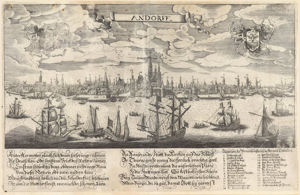
Andorff c. 1650
Antwerp (Antwerpen), by Lucas Schnitzer.
[Item number: 7025]
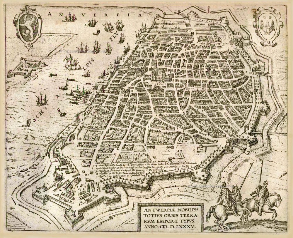
Antwerpiae Nobiliss. totius Orbis Terrarum Emporii Typus. Anno.M.D.LXXXV. (1585). c. 1586
Antwerp (Antwerpen), by Frans Hogenberg.
[Item number: 8017]
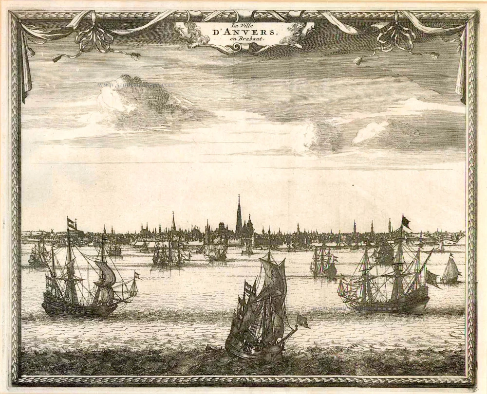
La Ville d'Anvers, en Brabant. c.1715
Antwerpen by Pieter van der Aa
[Item number: 11769]
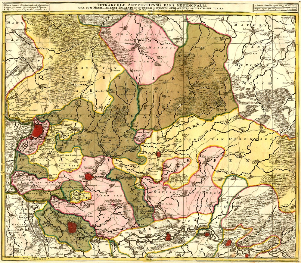
Tetrarchiae Antverpiensis Pars Meridionalis 1683-1696
Antwerpen - Mechelen by Visscher N. II.
[Item number: 14777]

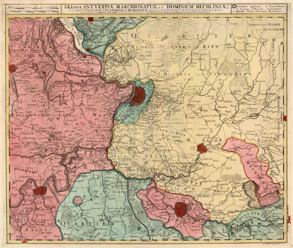
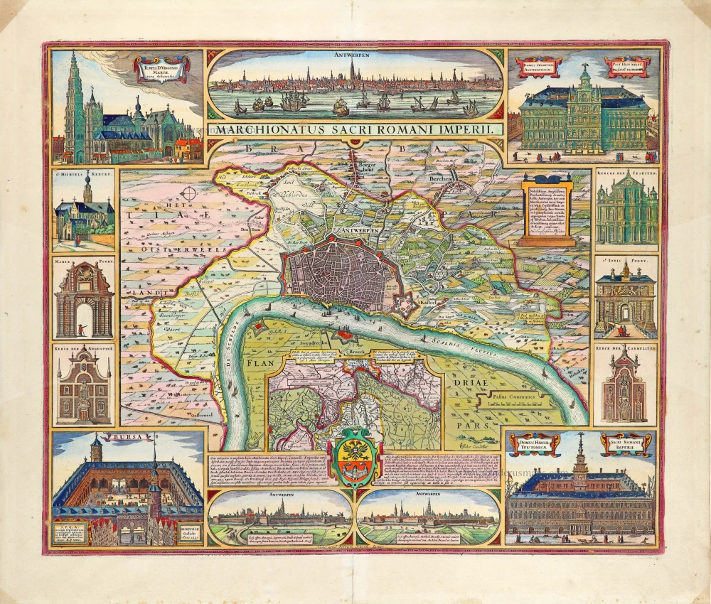
Tertia Pars Brabantiae qua continetur Marchionat S.R.I. horum urbs primaria Antverpia. 1641-42
The Marquisate of Antwerp, by Willem Blaeu.
[Item number: 17537]
Domus Hansae Teutonicae - Sacri Romani Imperi. 1612
Hanse (Antwerp), by Lodovico Guicciardini.
[Item number: 18160]
Printed from two plates, joint as published. 1659
Antwerp (Antwerpen) by C. Merian.
[Item number: 20256]
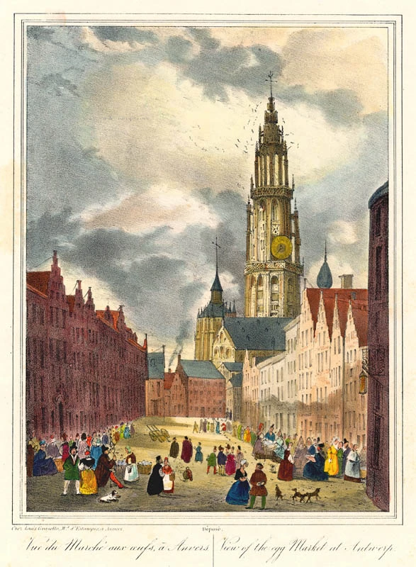
Vue du Marché aux oeufs, à Anvers - View of the egg Market at Antwerp. c. 1846
Antwerpen Eiermarkt by Granello L.
[Item number: 21811]
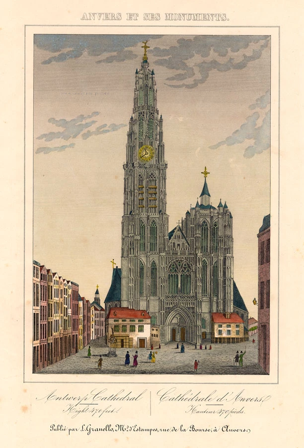
Antwerp Cathedral - Cathédrale d'Anvers c. 1846
Antwerp Cathedral (Antwerpen Kathedraal), by Granello L.
[Item number: 21821]
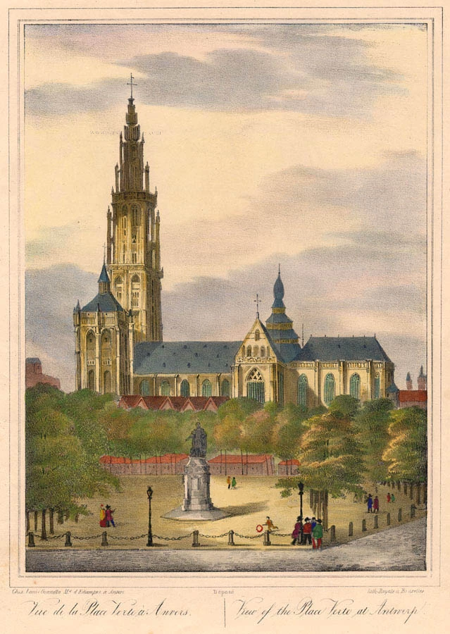
Vue de la Place Verte à Anvers. - View of the Place Verte at Antwerp. c. 1846
Antwerpen Groenplaats by Granello L.
[Item number: 21826]
Marchionatus Sacri Imperiit Dominii Mechelini Tabula 1721-41
Mechelen - Antwerpen, by Covens & Mortier.
[Item number: 23690]
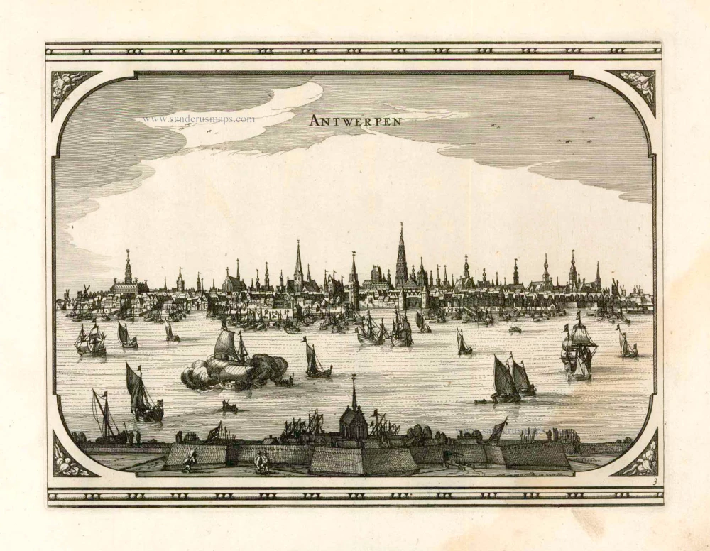
Antwerpen. 1656
Antwerpen by Visscher N. - Schut P.H.
[Item number: 25371]
Rare.
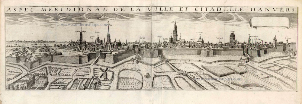
Aspec Meridionale de la ville et Citadelle d'Anvers. 1648
Antwerp by J. Boisseau.
[Item number: 25569]
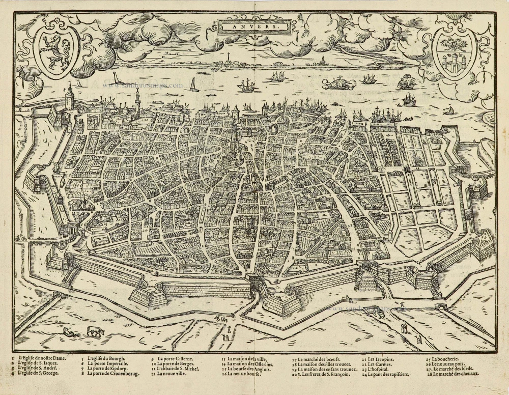
Anvers. 1567
Antwerpen by Lodovico Guicciardini.
[Item number: 28175]

Arx Antverpensis. 1652
Antwerpen - Citadel, by Joan Blaeu.
[Item number: 28896]
Rare
Antwerp Cathedral c. 1850
Antwerp Cathedral, large lithograph.
[Item number: 30799]
One of Antwerp's most beautiful maps
Marchionatus Sacri Romani Imperii. c. 1760
Antwerp, by Nicolaes Visscher I, published by Petrus Schenk Jr.
[Item number: 31137]
new