
Sea chart of the Channel - between France and England & Wales, by Jacques Nicolas Bellin. 1765

Jacques-Nicolas Bellin (1703-1772)
Jacques-Nicolas Bellin, a French geographer, was among the most important mapmakers of the eighteenth century. In 1721, at the age of 18, he was appointed hydrographer of the Ministry of the Navy following the French hydrographic office's creation and the Dépot of charts and plans of the Navy. Appointed hydrographic engineer in August 1741. Member of the Academy of the Navy and the Royal Society of London.
Over the course of a 50-year career, he drew the maps of several major works of his time such as Histoire et description générale de la Nouvelle-France de Charlevoix (1744); Histoire générale des voyages de l'Abbé Prévost (published between 1746 and 1759) ); Neptune François (1753), Hydrographie Françoise (1756-1765), and Petit Atlas Français (1763) - reissued as Petit Atlas Maritime (1765). He is the most copied cartographer of the 18th century.
His maps of Canada and the French territories of North America are of considerable value. This is all the more remarkable since, an archetype of the cabinet cartographer, Bellin never came to America. For his cartography of the St. Lawrence River, he entrusted handwritten maps to navigators to correct and enrich. With each return of these maps, he was updating his knowledge. Two basic needs drive its cartography of North America: to secure navigation on the St. Lawrence River and to claim for France the lands explored by the French in the Great Lakes region and along the Mississippi River.
Jacques-Nicolas Bellin died on March 21, 1772, in Versailles. In the burial certificate, he is described as "the first engineer of the navy and the deposit of plans, royal censor of the academy of navy and the royal society of London".
Carte Réduite des Isles Britanniques en cinq feuilles Pour servir aux vaisseaux du Roy.
Item Number: 31445 Authenticity Guarantee
Category: Antique maps > Europe > British Isles
Sea chart of the Channel - between France and England & Wales, by Jacques Nicolas Bellin.
Title: Carte Réduite des Isles Britanniques en cinq feuilles Pour servir aux vaisseaux du Roy.
Dressée au Dépost des Cartes, Plans, et Journeaux de la Marine
Par ordre de M. de Machault, ...
Par M. Bellin Ingénieur de la Marine et du Dépôt des Plans, Censeur Royal de l'Academie de Marine et de la Société Royale de Londres.
M.DCC.LVII. Première Feuille
Partie Meridionale de l'Angleterre Depuis Dunwick à la Coste Orientale, Jusqu'à Aberistwith à la Coste Occidentale.
Date of the first edition: 1657.
Date of this map: 1765.
Date on map: 1657.
Copper engraving, printed on paper from two plates, joined.
Image size: 560 x 865mm (22 x 34 inches).
Sheet size: 620 x 900mm (24½ x 35½ inches).
Verso: Blank.
Condition: Hand coloured, excellent.
Condition Rating: A+.
From: Hydrographie Françoise ou Recueil des Cartes Dressées au Deposit des Plans de la Marine pour le Service des Vaisseaux du Rou. Par le Sr. Bellin ... M.DCC.LXV. [1765].
Jacques-Nicolas Bellin (1703-1772)
Jacques-Nicolas Bellin, a French geographer, was among the most important mapmakers of the eighteenth century. In 1721, at the age of 18, he was appointed hydrographer of the Ministry of the Navy following the French hydrographic office's creation and the Dépot of charts and plans of the Navy. Appointed hydrographic engineer in August 1741. Member of the Academy of the Navy and the Royal Society of London.
Over the course of a 50-year career, he drew the maps of several major works of his time such as Histoire et description générale de la Nouvelle-France de Charlevoix (1744); Histoire générale des voyages de l'Abbé Prévost (published between 1746 and 1759) ); Neptune François (1753), Hydrographie Françoise (1756-1765), and Petit Atlas Français (1763) - reissued as Petit Atlas Maritime (1765). He is the most copied cartographer of the 18th century.
His maps of Canada and the French territories of North America are of considerable value. This is all the more remarkable since, an archetype of the cabinet cartographer, Bellin never came to America. For his cartography of the St. Lawrence River, he entrusted handwritten maps to navigators to correct and enrich. With each return of these maps, he was updating his knowledge. Two basic needs drive its cartography of North America: to secure navigation on the St. Lawrence River and to claim for France the lands explored by the French in the Great Lakes region and along the Mississippi River.
Jacques-Nicolas Bellin died on March 21, 1772, in Versailles. In the burial certificate, he is described as "the first engineer of the navy and the deposit of plans, royal censor of the academy of navy and the royal society of London".
Related items

Pas-kaert vande Canael, Tusschen Engelandt en Vrancryck Beginnende van C. de la Hague tot Heyssant, als mede van Poortland tot Lezard. 1697-1709
Bretagne and the Channel, by Van Keulen Johannes.
[Item number: 5406]

Sea chart
Pascaert van de Canael Tusschen Engelandt en Vrancryck, van Cales tot C. de la Hague, als meede van Doever tot Poortlant ... 1697-1709
Normandy by Van Keulen Johannes.
[Item number: 13639]

Pas-Caert van de Canael, tusschen Engelandt en Vranckryck, van Pleymuyen tot aen de Sorlinges ... 1697-1709
The Channel, by Van Keulen Johannes.
[Item number: 14588]

Spectacular 'Romain de Hooghe' map
Carte Nouvelle des Costes de Hollande, Zeelande, Flandre, Picardie, & Normandie ... Chez Pierre Mortier, 1693. 1700
Sea chart of the Channel - Flanders (Vlaanderen) - Zeeland, by Pieter Mortier.
[Item number: 27176]

Carte de la Manche. c. 1705
Channel, by Pierre Mortier.
[Item number: 28001]
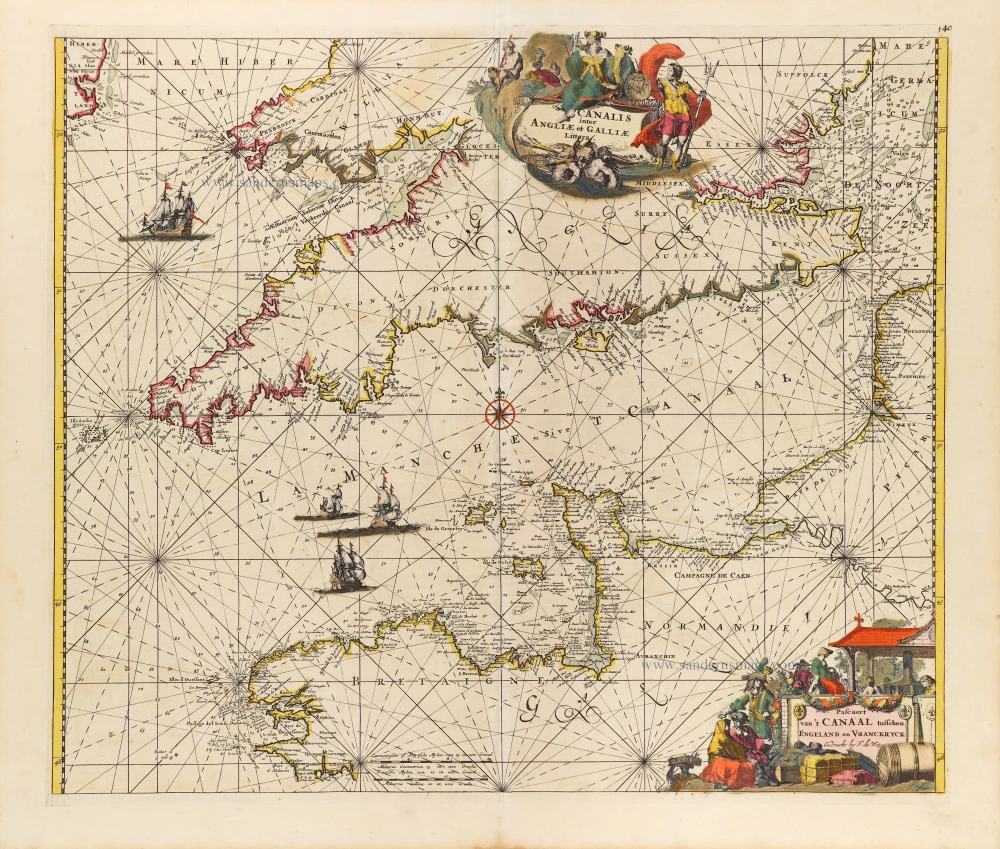
Canalis inter Angliae et Galliae Littera. - Pascaert van 't Canaal tusschen Engeland en Vranckryck. c. 1680
The English Channel, by Frederick de Wit.
[Item number: 29171]

Carte de la Manche. 1692
Channel by N. Sanson, so-called published by Hubert Jaillot. (Pirated edition by Pierre Mortier).
[Item number: 31172]

Nieuwe Zeekaart van t' Eerste Gedeelte van t' Canaal Tusschen Engeland en Vrankrijk. [Title also in French, English, Spanish, and Italian] 1704
Sea chart of the Channel by Gerard van Keulen.
[Item number: 31427]