
Île-de-France, Champagne, Lorraine, by Nicolas Sanson. 1659

Nicolas Sanson (1600-1667) - Guillaume Sanson (1633-1703)
Originally from Abbeville, Nicolas I Sanson showed a keen interest in historical geography. Still very young, he published a map of ancient Gaul and two treatises, Britannia and Portus Itius on Abbeville and Boulogne's origins. His meeting with Melchior Tavernier was decisive: it prompted him to give up his duties as a military engineer in Picardy and devote himself to engraved cartography.
At the same time, Sanson had drawn up the outline of modern France. He got the help of Tavernier who encouraged him to compete with the Dutch map publishers. Tavernier contacted other French cartographers whose works he published.
From 1643, N. Sanson obtained a privilege to publish a work personally, the Princes souverains de l'Italie. Then, in 1644 and 1645, he had his famous geographical tables printed, which significantly contributed to his fame. He also published a series of atlases in quarto of the four continents.
In 1648, N. Sanson associated himself with Mariette for the publishing of atlases. From then on, certain maps bore his name, and others Mariette's. N. Sanson and Mariette worked together for more than 20 years. After the death of N. Sanson, Mariette acquired the entire fund. Since Mariette only wanted to publish complete atlases, individual maps were no longer sold, and some army generals complained to the king.
The disagreement between the Sanson family and Pierre II Mariette culminated in 1671 when Guillaume Sanson took the case to court. From then on, there was no longer any question of collaboration: Guillaume Sanson started working for another publisher, Alexis-Hubert Jaillot.
The Sanson family faced financial difficulties, and in 1692, their cousin, Pierre Moullart-Sanson, bought the entire geographic fund from his uncles and aunt. Moullart-Sanson restarted the publishing of Sanson's world atlas, and in 1704 he acquired a privilege for publishing all the works of Nicolas and Guillaume Sanson, which continued to be published until 1730.
Isle de France, Champagne, Lorraine &c.
Item Number: 33241 new Authenticity Guarantee
Category: Antique maps > Europe > France
Île-de-France, Champagne, Lorraine, by Nicolas Sanson.
Title: Isle de France, Champagne, Lorraine &c.
Par N. Sanson d'Abbeville Geogr. du Roy. 1648.
Aveq Privilege pour 20 Ans.
R. Cordier Abbavil. sculp.
Engraver: Robert Cordier.
Date of the first edition: 1648.
Date of this map: 1659.
Date on map: 1648.
Copper engraving, printed on paper.
Image size: 365 x 585mm (14¼ x 23 inches).
Sheet size: 435 x 600mm (17¼ x 23½ inches).
Verso: Blank.
Condition: Original coloured in outline, excellent.
Condition Rating: A+.
From: Cartes generales de toutes les parties du monde, ou les empires, monarchies, republiques, estats, peuples,&c. le l'Asie, de l'Afrique, de l'Europe, & de l'Amerique, ... Par le Sieur d'Abbeville, A Paris, chez l'auteur, ... Et chez Pierre Mariette, M.DC.LVIII [1658]. (Pastoureau, Sanson V A 1658). (Qui doit être de 1659 car la table indique la Westphalie. - Pastoureau)
Nicolas Sanson (1600-1667) - Guillaume Sanson (1633-1703)
Originally from Abbeville, Nicolas I Sanson showed a keen interest in historical geography. Still very young, he published a map of ancient Gaul and two treatises, Britannia and Portus Itius on Abbeville and Boulogne's origins. His meeting with Melchior Tavernier was decisive: it prompted him to give up his duties as a military engineer in Picardy and devote himself to engraved cartography.
At the same time, Sanson had drawn up the outline of modern France. He got the help of Tavernier who encouraged him to compete with the Dutch map publishers. Tavernier contacted other French cartographers whose works he published.
From 1643, N. Sanson obtained a privilege to publish a work personally, the Princes souverains de l'Italie. Then, in 1644 and 1645, he had his famous geographical tables printed, which significantly contributed to his fame. He also published a series of atlases in quarto of the four continents.
In 1648, N. Sanson associated himself with Mariette for the publishing of atlases. From then on, certain maps bore his name, and others Mariette's. N. Sanson and Mariette worked together for more than 20 years. After the death of N. Sanson, Mariette acquired the entire fund. Since Mariette only wanted to publish complete atlases, individual maps were no longer sold, and some army generals complained to the king.
The disagreement between the Sanson family and Pierre II Mariette culminated in 1671 when Guillaume Sanson took the case to court. From then on, there was no longer any question of collaboration: Guillaume Sanson started working for another publisher, Alexis-Hubert Jaillot.
The Sanson family faced financial difficulties, and in 1692, their cousin, Pierre Moullart-Sanson, bought the entire geographic fund from his uncles and aunt. Moullart-Sanson restarted the publishing of Sanson's world atlas, and in 1704 he acquired a privilege for publishing all the works of Nicolas and Guillaume Sanson, which continued to be published until 1730.
Related items

L'Isle de France. / Parisiensis Agri Descrip. 1601
Ile de France by Abraham Ortelius.
[Item number: 4055]

L'Isle de France. Parisiensis Agri Descrip. 1612.
Ile de France, by Ortelius A.
[Item number: 18788]

Ager Parisiensis Vulgo L'Isle de France 1635
Ile de France by Blaeu W. & J.
[Item number: 22802]
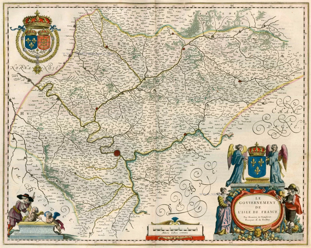
Le Gouvernement de l'Isle de France. 1635
Ile de France, by Willem & Joan Blaeu.
[Item number: 22805]

L'Ile de France. Parisiensis Agri Descrip. 1612
Ile de France by Ortelius A.
[Item number: 23050]

Le Gouvernement General de l'Isle de France ... [In set with:] Seconde partie du Gouvernement General de L'Isle de France, ... 1710
Ile de France, by N. Sanson - Jaillot - Covens & Mortier.
[Item number: 23768]

Nova Territorii Parisiensis Tabula ad Usum Serenissimi Burgundiae Ducis. 1721-41
Ile de France by Guillaume Delisle, published by Covens & Mortier.
[Item number: 23769]

Le Gouvernement de L'Isle de France c. 1680
Île de France, by F. De Wit.
[Item number: 24375]

L'Isle de France Parisiesiesis Agri Descriptio. - Autore F. Guilloterio Biturigi. 1623
L'Ile de France, by J. Hondius.
[Item number: 24959]

Gubernatio Insulae Franciae, dicisa in Electiones Lutetiae, Augustae Suessionum, Novioduni, Lauduni, Compendii, Bellovaci, Dresiae, Nemursii etc. ... c. 1745
Île de France, by Valk G. & L
[Item number: 25665]

L'Isle de France et lieux circo[n]voysins. 1621
L'Isle de France by Jean Leclerc.
[Item number: 30907]

Gouvernement de l'Isle de France. c. 1630-1650
Ile de France by Hondius - Janssonius
[Item number: 33147]

Diocese, Prevosté, et Eslection de Paris. 1659
The Diocese of Paris, by Nicolas Sanson.
[Item number: 33242]
new

Lotharingiae Tabula Generalis in qua Ducatus Lotharingiae et Barri nec non Metensis, Tullensis et Verdurensis et finitimis Ditionibus exhibentur 1712
Lorraine, by Johann Baptist Homann.
[Item number: 33255]
new