
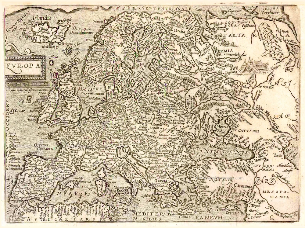
Old antique map of Europe by Johannes Stumpf oriented to the South 1548

Europa / Die Erst Tafel desz Ersten Buchs.
Item Number: 26201 Authenticity Guarantee
Category: Antique maps > Europe > Europe Continent
Old, antique map of Europe by Johannes Stumpf, after S. Münster.
Oriented to the South.
Date of the first edition: 1548
Date of this map: 1548
Woodcut, printed on paper.
Size (not including margins): 28 x 39cm (10.9 x 15.2 inches)
Verso: Blank
Condition: Excellent.
Condition Rating: A+
References: Van der Heijden (Europe), #11.
From: Stumpf J. Gemeiner Loblicher Eydgenossenschaft Stetten Lander und Volckern Chronikwürdiger thaaten beschreibung ... Zürich, Christoffel Froschauer, 1548.
Related items

Imperii Caroli Magni et Vicinarum Regionum Descriptio ... 1635
Empire of Charlemagne, by Blaeu W.& J.
[Item number: 9393]
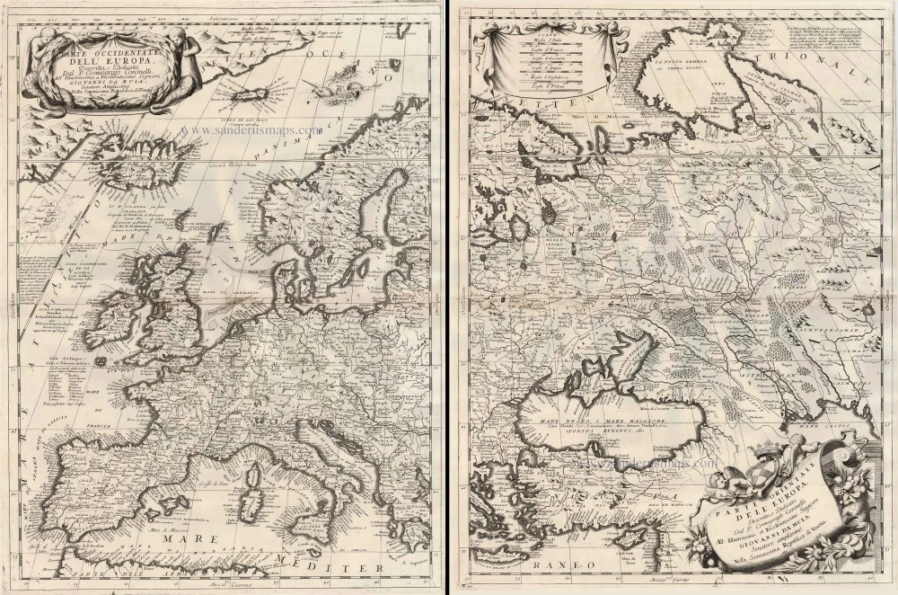
Parte Occidentale dell'Europa ... [in set with] Parte Orientale dell'Europa ... 1691
Europe, by V.M. Coronelli.
[Item number: 23186]

Europa Pars Tenet haec Mundi Reliquas Celeberrima Partes c. 1730.
Europe by G.& L. Valk.
[Item number: 24536]
Europa. 1600
Europe, by Matthias Quad.
[Item number: 26666]
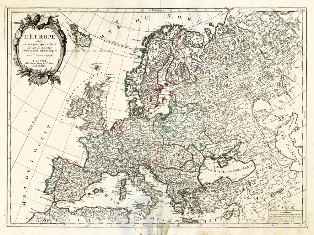
L'Europe Divisee en ses Principaux Etats. 1776-79
Europe, by Francesco Santini.
[Item number: 26947]