This product is successfully added to your cart
Questions about this product? (#26947)

Authenticity Guarantee
All items are guaranteed authentic prints (woodcuts or engravings) or manuscripts made at or about (c.) the given date and in good condition unless stated otherwise. We don’t sell facsimiles or reproductions. We deliver every map with a Certificate of Authenticity containing all the details.

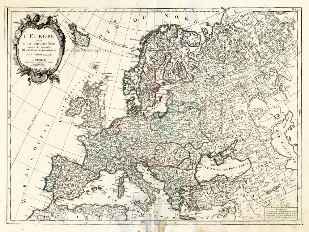
Europe, by Francesco Santini. 1776-79

Francesco and Paolo Santini (c.1729-1793)

Francesco Santini, a Venetian publisher, acquired the printing plates of Vaugondy’s Atlas Universel …, a commercial and cartographic success, with widespread influence on mapmakers throughout Europe. Together with his brother Paolo, he commissioned a new set of plates and reissued the atlas in 1776. The following year, Paolo Santini assigned all his publication rights to M. Remondini, who in 1777 reissued the same atlas but with his name.

back

L'Europe Divisee en ses Principaux Etats.

€400  ($436 / £336)
add to cart
Buy now
questions?
PRINT

Item Number:  26947 Authenticity Guarantee

Category:  Antique maps > Europe > Europe Continent

Old, antique map of Europe, by Francesco Santini

Cartographer: Jean Denis Janvier (Sieur)

First state with the imprint of Remondini: with engraved page numbers in the top right corner: "P.I.3".

Date of the first edition: 1776
Date of this map: 1776

Copper engraving, printed on paper.
Size (not including margins): 47 x 63.5cm (18.3 x 24.8 inches)
Verso: Blank
Condition: Original coloured in outline, a few stains in lower margin, else excellent.
Condition Rating: A

From: Atlas Universel dressé sur les meilleures cartes modernes. Venice, Remondini, 1776.

Francesco and Paolo Santini (c.1729-1793)

Francesco Santini, a Venetian publisher, acquired the printing plates of Vaugondy’s Atlas Universel …, a commercial and cartographic success, with widespread influence on mapmakers throughout Europe. Together with his brother Paolo, he commissioned a new set of plates and reissued the atlas in 1776. The following year, Paolo Santini assigned all his publication rights to M. Remondini, who in 1777 reissued the same atlas but with his name.

Related items

Empire of Charlemagne, by Blaeu W.& J.

Imperii Caroli Magni et Vicinarum Regionum Descriptio ... 1635
Empire of Charlemagne, by Blaeu W.& J.
[Item number: 9393]

€450  ($490.5 / £378)
Europe by G.& L. Valk.

Europa Pars Tenet haec Mundi Reliquas Celeberrima Partes c. 1730.
Europe by G.& L. Valk.
[Item number: 24536]

€800  ($872 / £672)
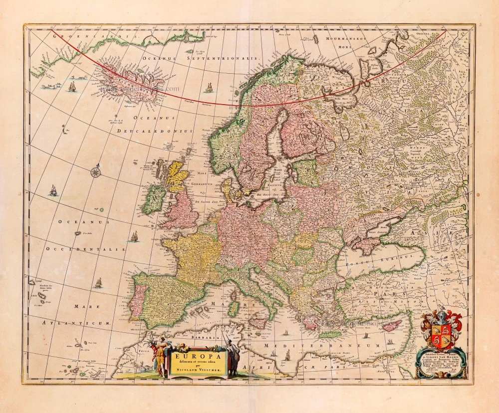
Europe by N. Visscher.

Europa delineata et recens edita. 1680
Europe by N. Visscher.
[Item number: 25056]

€800  ($872 / £672)
Europe by Nicolaas Visscher II.

Europa delineata et recens edita. 1683-1696
Europe by Nicolaas Visscher II.
[Item number: 28712]

€750  ($817.5 / £630)
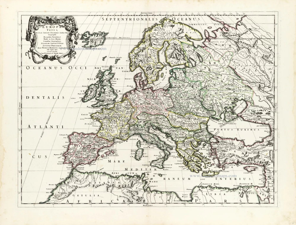
Ancient Europe by Nicolas & Guillaume Sanson.

Europa Vetus. 1667-69
Ancient Europe by Nicolas & Guillaume Sanson.
[Item number: 30000]

€500  ($545 / £420)
Europe & Mediterranean Sea by Nicolas & Guillaume Sanson.

Geographia Patriarchalis Tabula Geographica in Epitomen Contracta; in quo Patriarchatus Antiqui Romanus, Constantinopolitanus, Alexandrinus Antiochenus, et Ierosolymitanus; ... 1669
Europe & Mediterranean Sea by Nicolas & Guillaume Sanson.
[Item number: 30049]

€300  ($327 / £252)
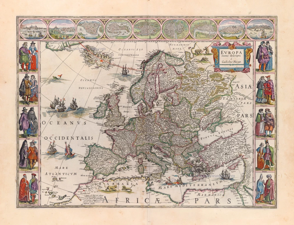
Europe by Blaeu Willem & Joan

Europa Recens Descripta. 1659
Europe by Blaeu Willem & Joan
[Item number: 30206]

€4300  ($4687 / £3612)
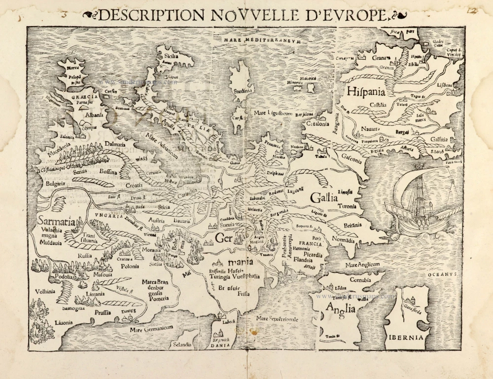
Europe by Sebastian Münster

Description Nouvelle d'Europe. 1568
Europe by Sebastian Münster
[Item number: 30523]

€900  ($981 / £756)
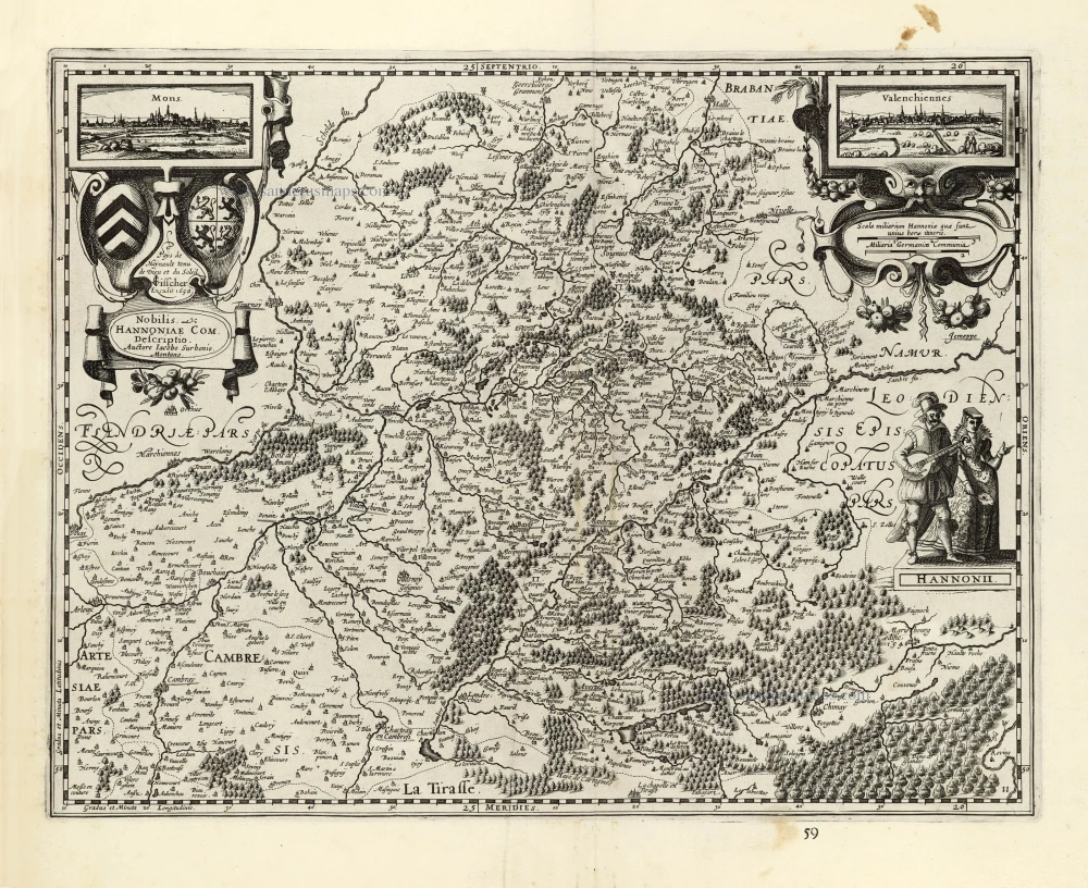
Hainaut by Petrus Kaerius (Pieter Van den Keere), published by Claes Jansz. Visscher.

Nobilis Hannoniae Com. Descriptio. 1634
Hainaut by Petrus Kaerius (Pieter Van den Keere), published by Claes Jansz. Visscher.
[Item number: 30736]

€500  ($545 / £420)
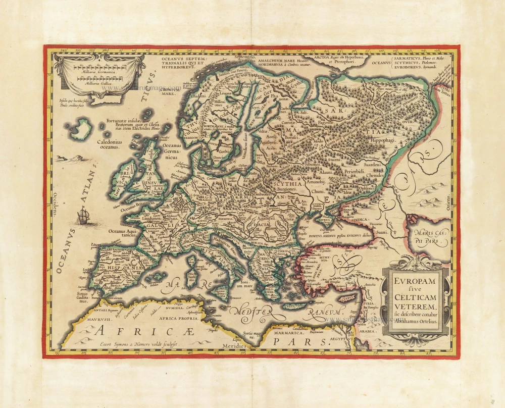
Europe by Evert van Hamersveldt, published by Johannes Janssonius.

Scarce map
Europam sive Celticam Veterem c. 1630-1650
Europe by Evert van Hamersveldt, published by Johannes Janssonius.
[Item number: 30838]

€600  ($654 / £504)
Europe by Petrus Bertius, published by Melchior Tavernier.

Carte de L'Europe, corrigée et augmentée dessus toutes les autres cy devant faictes c. 1630-1650
Europe by Petrus Bertius, published by Melchior Tavernier.
[Item number: 30839]

€800  ($872 / £672)
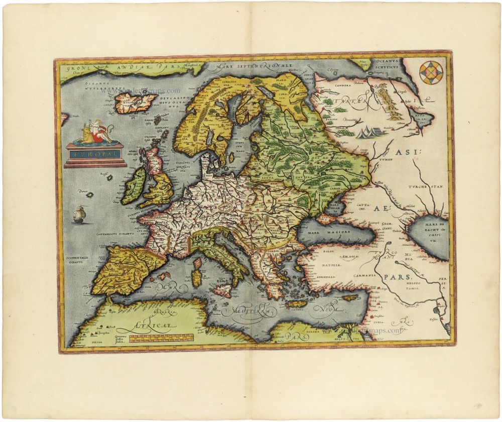
Europe, by Abraham Ortelius.

Europae. 1612
Europe, by Abraham Ortelius.
[Item number: 30944]

€1750  ($1907.5 / £1470)
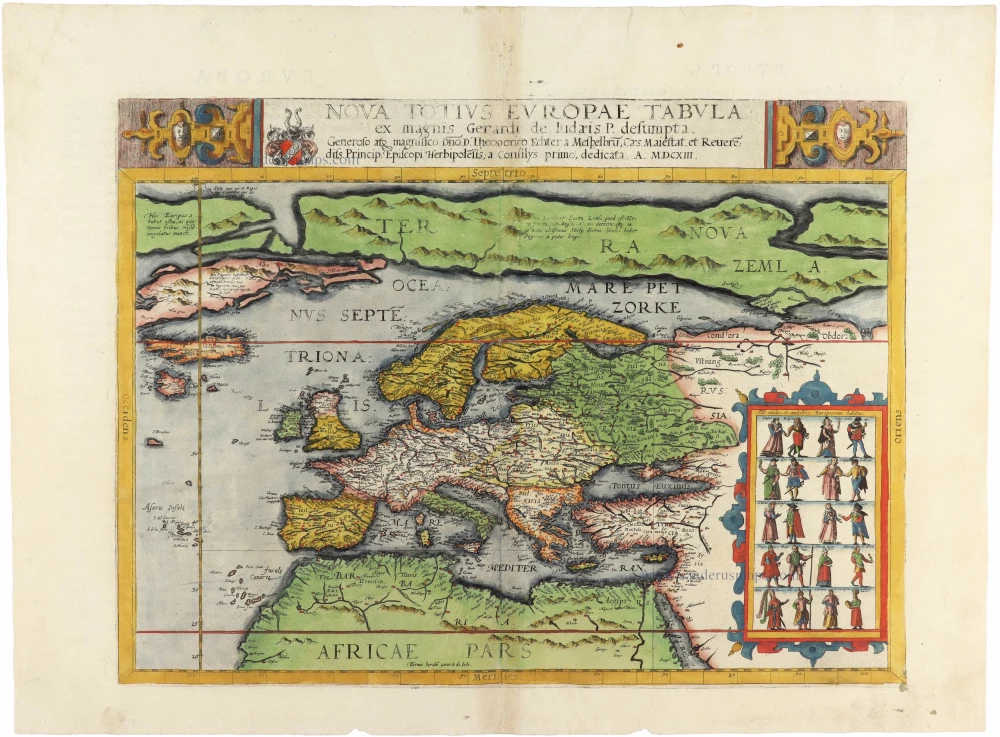
Europe by Cornelis de Jode

Rare
Nova Totius Europae Tabula ex magnis Gerardi de Iudaeis P. desumpta 1593
Europe by Cornelis de Jode
[Item number: 30946]

€7200  ($7848 / £6048)