
Rare
Europe by Cornelis de Jode 1593


Gerard and Cornelis de Jode
Gerard de Jode (Judaeus) (1508(?)-1591), a native of Nijmegen, began his career as a printer and engraver in Antwerp about 1550. He lived near the Bourse on the Catelijne Veste, or on "de Catte". He was in regular contact with Christoffel Plantin, to whom he sold many prints and maps. De Jode's business, which must have been a major one among Antwerp's many booksellers and printers, was represented at the Frankfurt fair, where de Jode bought maps that he later copied or resold. Most of the maps sold by De Jode have prototypes of Italian or German origin. Apart from his many separately published maps, Gerard de Jode is known for his atlas, Speculum Orbis Terrarum, published in 1578. Part of the engraving was done by himself, and part by his brothers Jan and Lucas van Doetecum.
Gerard de Jode and Abraham Ortelius, who both lived partly as map sellers, were competitors and were only sometimes on good terms.
After the death of Gerard de Jode in 1591, the business was carried on by his widow, Pascale van Gelder and his son, Cornelis (1568-1600). More a publisher than an engraver, the latter reissued the Speculum in 1593, adding new maps and revising others.
Despite all its deficiencies, the Speculum must have had a good reputation. It is mentioned alongside Mercator's Atlas and Ortelius's Theatrum in Petrus Montanus's preface to Pieter van den Keere's Germania Inferior.
Nova Totius Europae Tabula ex magnis Gerardi de Iudaeis P. desumpta
Item Number: 30946 Authenticity Guarantee
Category: Antique maps > Europe > Europe Continent
Europe by Gerard de Jode.
Title: Nova Totius Europae Tabula ex magnis Gerardi de Iudaeis P. desumpta
Date of the first edition: 1593.
Date of this map: 1593.
Copper engraving, printed on paper.
Image size: 330 x 445mm (12.99 x 17.52 inches).
Sheet size: 410 x 550mm (16.14 x 21.65 inches).
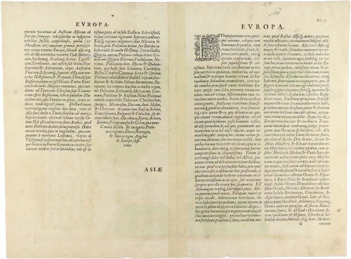
Verso: Latin text.
Condition: Original coloured, centrefold reinforced.
Condition Rating: A.
From: Speculum Orbis Terrae. Antwerpen, G. De Jode, 1593. (Van der Krogt 3, 2:02)
Gerard and Cornelis de Jode
Gerard de Jode (Judaeus) (1508(?)-1591), a native of Nijmegen, began his career as a printer and engraver in Antwerp about 1550. He lived near the Bourse on the Catelijne Veste, or on "de Catte". He was in regular contact with Christoffel Plantin, to whom he sold many prints and maps. De Jode's business, which must have been a major one among Antwerp's many booksellers and printers, was represented at the Frankfurt fair, where de Jode bought maps that he later copied or resold. Most of the maps sold by De Jode have prototypes of Italian or German origin. Apart from his many separately published maps, Gerard de Jode is known for his atlas, Speculum Orbis Terrarum, published in 1578. Part of the engraving was done by himself, and part by his brothers Jan and Lucas van Doetecum.
Gerard de Jode and Abraham Ortelius, who both lived partly as map sellers, were competitors and were only sometimes on good terms.
After the death of Gerard de Jode in 1591, the business was carried on by his widow, Pascale van Gelder and his son, Cornelis (1568-1600). More a publisher than an engraver, the latter reissued the Speculum in 1593, adding new maps and revising others.
Despite all its deficiencies, the Speculum must have had a good reputation. It is mentioned alongside Mercator's Atlas and Ortelius's Theatrum in Petrus Montanus's preface to Pieter van den Keere's Germania Inferior.
Related items
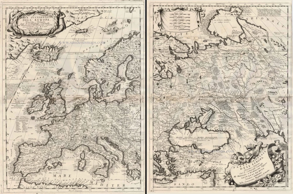
Parte Occidentale dell'Europa ... [in set with] Parte Orientale dell'Europa ... 1691
Europe, by V.M. Coronelli.
[Item number: 23186]

Europa Pars Tenet haec Mundi Reliquas Celeberrima Partes c. 1730.
Europe by G.& L. Valk.
[Item number: 24536]

Europa. 1600
Europe, by Matthias Quad.
[Item number: 26666]
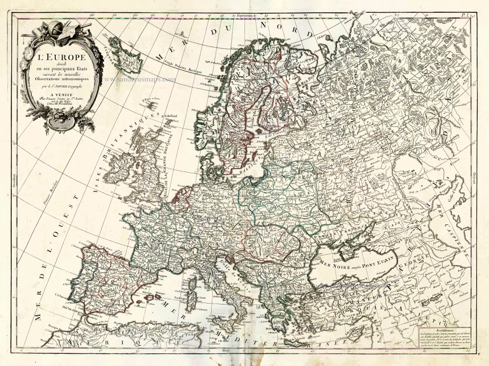
L'Europe Divisee en ses Principaux Etats. 1776-79
Europe, by Francesco Santini.
[Item number: 26947]

Scarce woodcut map
Europae. [Above the map :] La Carte d'Europe. 1575
Europe, by François de Belleforest.
[Item number: 27270]

L'Europe Dreßée sur les Observations de Mrs. de l'Academie Royale des Sciences et quelques autres, & sur les memoires les plus recens. 1700-1708
Europe, by Guillaume Delisle, published by Pierre Mortier.
[Item number: 29519]

Le Royaume de Danemark, Divisé en ses Provinces. c. 1709
Denmark by Hubert Jaillot.
[Item number: 29589]

Europa Vetus. 1667-69
Ancient Europe by Nicolas & Guillaume Sanson.
[Item number: 30000]

Dioecesis Trundhemiensis Pars Australis. 1659
Southern Trondheim by Joan Blaeu.
[Item number: 30212]
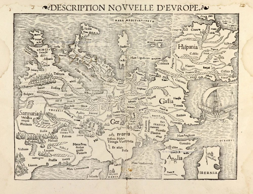
Description Nouvelle d'Europe. 1568
Europe by Sebastian Münster
[Item number: 30523]

Scarce map
Europam sive Celticam Veterem c. 1630-1650
Europe by Evert van Hamersveldt, published by Johannes Janssonius.
[Item number: 30838]

Europae. 1612
Europe, by Abraham Ortelius.
[Item number: 30944]

L'Europe Divisée Suivant l'Estendue de ses Principaux Estats subdivisés en leurs principales Provinces. 1692
Europe, by N. Sanson, so-called published by Hubert Jaillot. (Pirated edition by Pierre Mortier).
[Item number: 31138]

Europa Christiani Orbis Domina in sua Imperia, Regna, et Styatus exacte divisa c. 1720
Europe by J.B. Homann
[Item number: 32098]
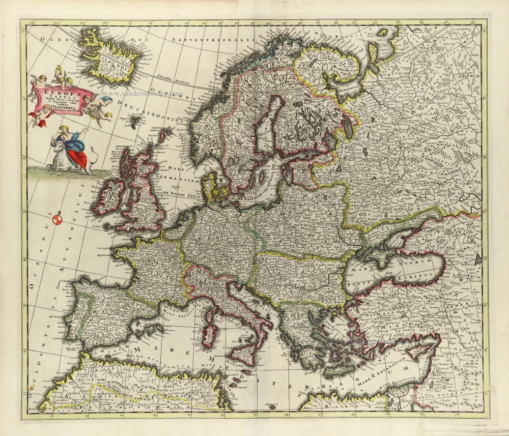
Accuratissima Europae Tabula. 1696-1713
Europe by J. Danckerts.
[Item number: 32457]

L' Europa. 1677
Europe by Giovanni De Rossi, after Nicolas Sanson.
[Item number: 32886]

Europa, ad Magnae Europae Gerardi Mercatoris P. Imitationem, Rumoldi Mercatoris F. Cura Edita, Seruato Tamen Initio Longitudinis ex Ratione Magnetis, quod Pater in Magna sua Universali Posuit. 1613
Europe by Gerard Mercator.
[Item number: 32928]

Scarce
Nova Europa Descriptio. 1689-90
Europe by Frederick de Wit
[Item number: 32974]
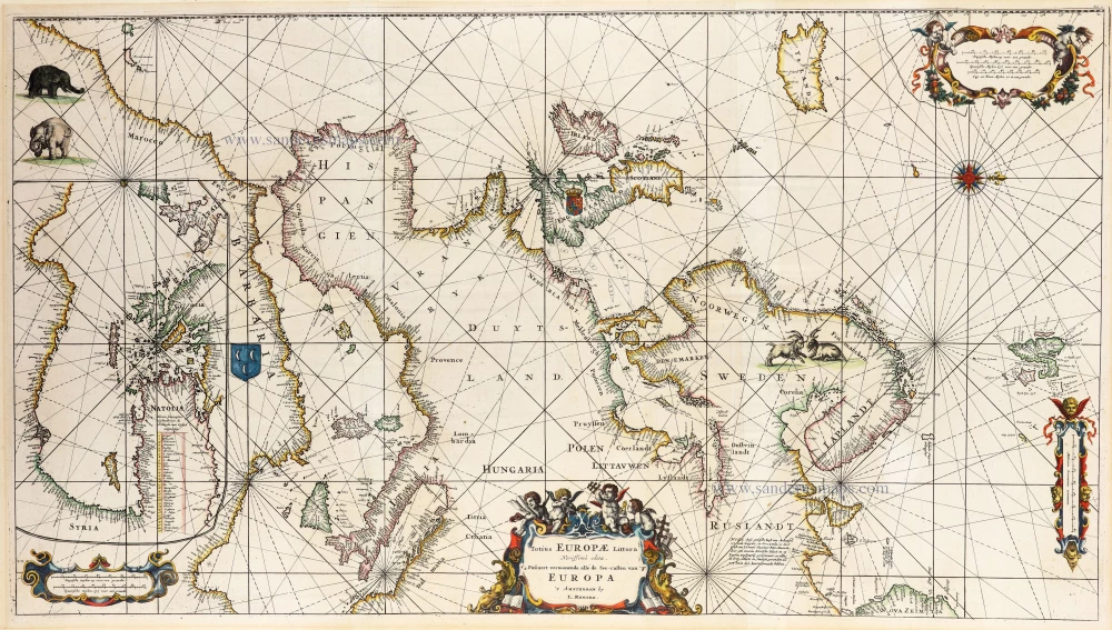
An impressive large sea chart of Europe.
Totius Europae Littora 1739
Europe by L. Renard after F. de Wit, published by R. & J. Ottens.
[Item number: 33024]