
Europe by Sebastian Münster 1568
Sebastian Münster (1488-1552)
Sebastian Münster, a German geographer, cartographer, Hebraist, and theologian, was born in Ingelheim, near Mainz In 1505, he went to Heidelberg to enter the Franciscan order. In 1507 he went to Louvain, where he studied mathematics, geography, and astronomy. In 1509 Münster became a student of Konrad Pelikan, who taught Hebrew and Greek as well as mathematics and cosmography. In 1518 he completed his studies at the University of Tübingen. He was the favorite of the famous mathematician and astronomer Johann Stöffler.
In 1524 Münster was appointed professor of Hebrew at Heidelberg University. In 1525 he published his first map as part of a broadside: The Instrument of the Suns combined a map, calendar, astrological almanac, sundial, and nocturnal on one attractive sheet, suitable for wall mounting.
In 1540 he published a Latin edition of Ptolemy's Geographia with illustrations. He based this edition on the Latin translation by Willibald Pirkheimer and produced new maps to supplement the Ptolemaic maps. The twenty-seven maps of the Ptolemaic canon are supplemented by twenty-one new maps. Further editions appeared in 1541 and 1542.
In 1544 he published the Cosmographia, a bulky book with 659 pages and some 520 woodcuts. Maps in this edition included three maps from the Ptolemaic canon and fourteen modern maps (from previous editions of the Geographia), as well as nine new maps. Later editions (1545, 1546, 1548) enlarged the Cosmographia. The 1550 edition contains cities, portraits, and costumes. These editions in both Latin and German constitute the full fruition of Münster's dream of a comprehensive geography.
The Cosmographia was one of the most successful works of the 16th century. It passed through 24 editions in 100 years, in different languages, including Latin, French, Italian, English, and even Czech. The last German edition was published in 1628.
He died at Basel of the plague in 1552.
As a cartographer, Münster deserves special recognition for formulating a plan for a comprehensive and uniform map of a country. As a geographer, his greatest achievement was the Cosmographia. (Karrow).
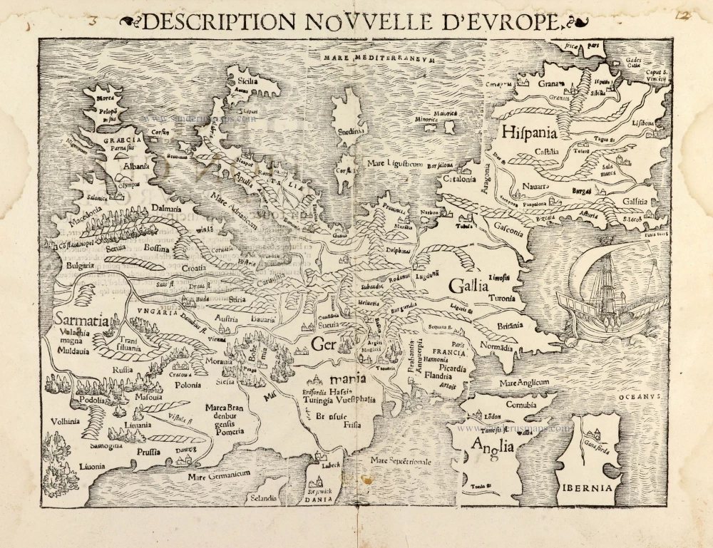
Description Nouvelle d'Europe.
Item Number: 30523 Authenticity Guarantee
Category: Antique maps > Europe > Europe Continent
Europe by Sebastian Münster.
Title: Description Nouvelle d'Europe.
Oriented to the south.
Date of the first edition: 1540.
Date of this map: 1568.
Woodcut, printed on paper.
Image size: 260 x 350mm (10.24 x 13.78 inches).
Sheet size: 300 x 400mm (11.81 x 15.75 inches).
Verso: French text.
Condition: Excellent.
Condition Rating: A+.
From: Münster S. Cosmographie universelle, contenant la situation de toutes les parties du monde ... Basel, Henry Pierre, 1568.
Sebastian Münster (1488-1552)
Sebastian Münster, a German geographer, cartographer, Hebraist, and theologian, was born in Ingelheim, near Mainz In 1505, he went to Heidelberg to enter the Franciscan order. In 1507 he went to Louvain, where he studied mathematics, geography, and astronomy. In 1509 Münster became a student of Konrad Pelikan, who taught Hebrew and Greek as well as mathematics and cosmography. In 1518 he completed his studies at the University of Tübingen. He was the favorite of the famous mathematician and astronomer Johann Stöffler.
In 1524 Münster was appointed professor of Hebrew at Heidelberg University. In 1525 he published his first map as part of a broadside: The Instrument of the Suns combined a map, calendar, astrological almanac, sundial, and nocturnal on one attractive sheet, suitable for wall mounting.
In 1540 he published a Latin edition of Ptolemy's Geographia with illustrations. He based this edition on the Latin translation by Willibald Pirkheimer and produced new maps to supplement the Ptolemaic maps. The twenty-seven maps of the Ptolemaic canon are supplemented by twenty-one new maps. Further editions appeared in 1541 and 1542.
In 1544 he published the Cosmographia, a bulky book with 659 pages and some 520 woodcuts. Maps in this edition included three maps from the Ptolemaic canon and fourteen modern maps (from previous editions of the Geographia), as well as nine new maps. Later editions (1545, 1546, 1548) enlarged the Cosmographia. The 1550 edition contains cities, portraits, and costumes. These editions in both Latin and German constitute the full fruition of Münster's dream of a comprehensive geography.
The Cosmographia was one of the most successful works of the 16th century. It passed through 24 editions in 100 years, in different languages, including Latin, French, Italian, English, and even Czech. The last German edition was published in 1628.
He died at Basel of the plague in 1552.
As a cartographer, Münster deserves special recognition for formulating a plan for a comprehensive and uniform map of a country. As a geographer, his greatest achievement was the Cosmographia. (Karrow).
Related items
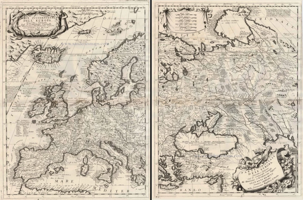
Parte Occidentale dell'Europa ... [in set with] Parte Orientale dell'Europa ... 1691
Europe, by V.M. Coronelli.
[Item number: 23186]

Europa Pars Tenet haec Mundi Reliquas Celeberrima Partes c. 1730.
Europe by G.& L. Valk.
[Item number: 24536]

Europa. 1600
Europe, by Matthias Quad.
[Item number: 26666]
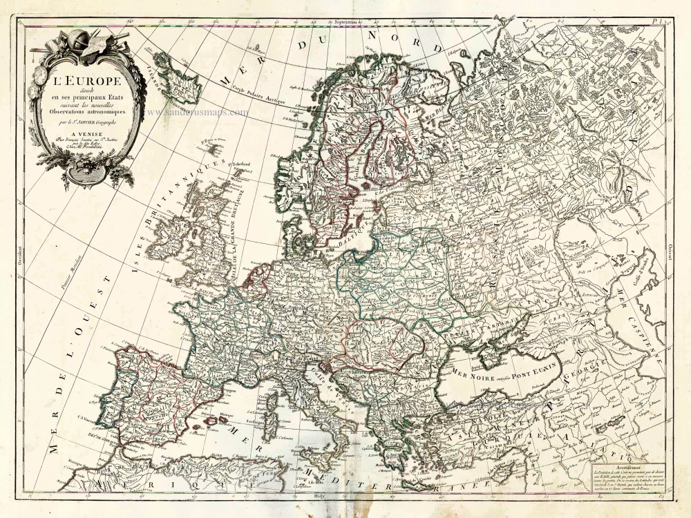
L'Europe Divisee en ses Principaux Etats. 1776-79
Europe, by Francesco Santini.
[Item number: 26947]

Scarce woodcut map
Europae. [Above the map :] La Carte d'Europe. 1575
Europe, by François de Belleforest.
[Item number: 27270]

Europa delineata et recens edita. 1683-1696
Europe by Nicolaas Visscher II.
[Item number: 28712]

Nova et Accurate Divisa in Regna et Regiones Praecipuas Europae Descriptio. c. 1691-96
Europe, by Frederick de Wit;
[Item number: 29233]

L'Europe Dreßée sur les Observations de Mrs. de l'Academie Royale des Sciences et quelques autres, & sur les memoires les plus recens. 1700-1708
Europe, by Guillaume Delisle, published by Pierre Mortier.
[Item number: 29519]

Europa Vetus. 1667-69
Ancient Europe by Nicolas & Guillaume Sanson.
[Item number: 30000]

Nobilis Hannoniae Com. Descriptio. 1634
Hainaut by Petrus Kaerius (Pieter Van den Keere), published by Claes Jansz. Visscher.
[Item number: 30736]

Scarce map
Europam sive Celticam Veterem c. 1630-1650
Europe by Evert van Hamersveldt, published by Johannes Janssonius.
[Item number: 30838]

Europae. 1612
Europe, by Abraham Ortelius.
[Item number: 30944]

Rare
Nova Totius Europae Tabula ex magnis Gerardi de Iudaeis P. desumpta 1593
Europe by Cornelis de Jode
[Item number: 30946]

L'Europe Divisée Suivant l'Estendue de ses Principaux Estats subdivisés en leurs principales Provinces. 1692
Europe, by N. Sanson, so-called published by Hubert Jaillot. (Pirated edition by Pierre Mortier).
[Item number: 31138]

Europa Christiani Orbis Domina in sua Imperia, Regna, et Styatus exacte divisa c. 1720
Europe by J.B. Homann
[Item number: 32098]
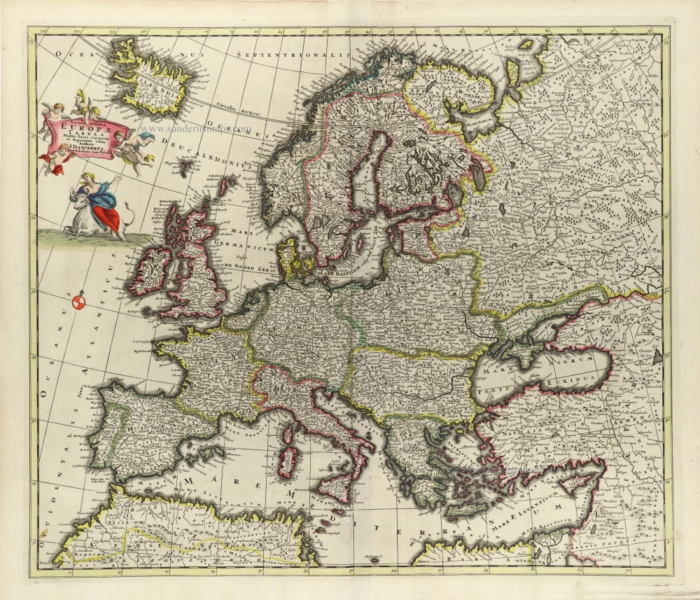
Accuratissima Europae Tabula. 1696-1713
Europe by J. Danckerts.
[Item number: 32457]

L' Europa. 1677
Europe by Giovanni De Rossi, after Nicolas Sanson.
[Item number: 32886]

Europa, ad Magnae Europae Gerardi Mercatoris P. Imitationem, Rumoldi Mercatoris F. Cura Edita, Seruato Tamen Initio Longitudinis ex Ratione Magnetis, quod Pater in Magna sua Universali Posuit. 1613
Europe by Gerard Mercator.
[Item number: 32928]

Scarce
Nova Europa Descriptio. 1689-90
Europe by Frederick de Wit
[Item number: 32974]

Carte de L'Europe, corrigée et augmentée dessus toutes les autres cy devant faictes c. 1630-1650
Europe by Petrus Bertius, published by Melchior Tavernier.
[Item number: 33121]
new