
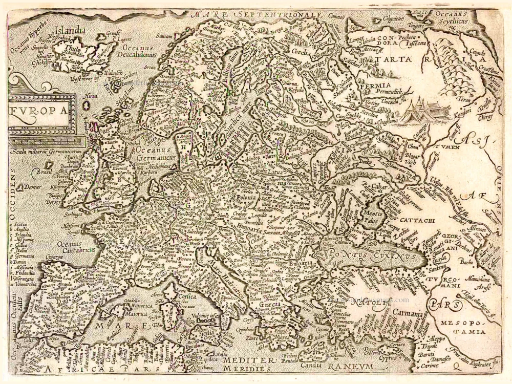
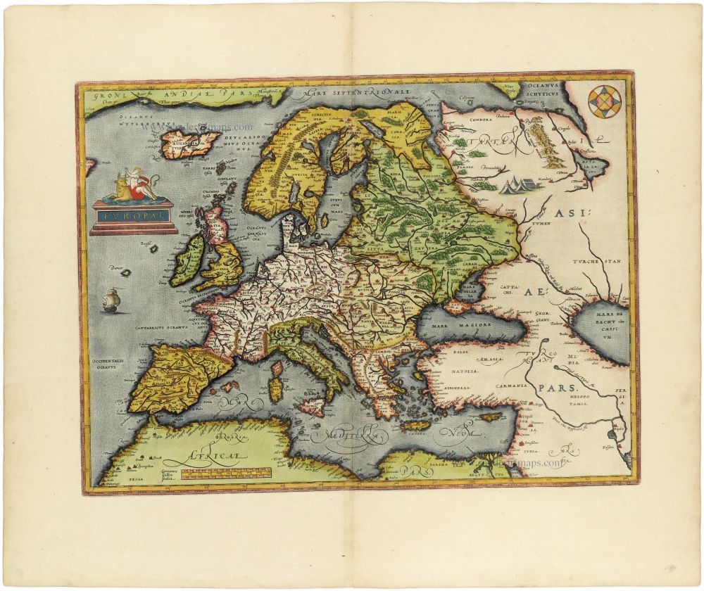
First state of one of the most beautiful and important portolan charts of Europe.
Europe by L.J. Waghenaer 1585


Lucas Janszoon Waghenaer (c. 1533 – 1606)
Lucas Janszoon Waghenaer grew up in Enkhuizen, a fishing port in the Netherlands on the Zuiderzee. It is known that around 1570, Waghenaer was already involved in drawing sea charts. The first indication of his cartographic activity was the plan of the town, engraved by Harmen Hansz. Müller of Amsterdam, dated 2 February. 1577.
In 1579, he gave up his career as a maritime pilot and obtained a post in the town. At the same time, he prepared his chartbook. Cutting the plates cost Waghenaer a large sum. He constantly sought loans and had to accept small jobs to help him earn a living. In the wealthy town of Enkhuizen, he was a poor man, seeking support in every direction and trusting in the success of his significant undertaking: the edition of the Spieghel der Zeevaerdt.
In 1583, the first part of the 'Spieghel' went to press in Plantijn's then-recently established printing house in Leiden. He dedicated the work to Prince William of Orange.
On 25 January 1584, he had a formal certificate drawn up before a notary, which attested to the charts' reliability and originality in the Spieghel der Zeevaerdt.
Waghenaer continued to work on completing the second volume of the Spieghel. In the meantime, the first volume met with considerable success and was reprinted several times during the first two years. The work was reprinted regularly and was also very popular in England. Waghenaer had already become a famous man.
Soon after his Spieghel appeared, he formulated a plan to publish an improved "Rutter of the Sea'. This was to become the Thresoor der Zeevaerdt of 1592.
In addition to revenue from his books, he earned income from the sale of loose portolan charts. In 1580, he was granted a patent for two large charts of the European coasts. One of these portolan charts is the general map from the Spieghel der Zeevaerdt of 1584 and later editions.
In 1592, Jan Huygen van Linschoten settled in the town and wrote the journal of his voyages in Asia, which he published in 1596. In addition, Van Linschoten assisted Waghenaer in compiling another new seaman's guide, the Enchuyser Zeecaertboeck, which contained important information about the coasts of Northern Europe.
In 1598, Waghenaer was appointed as a commission member to develop a method for determining longitude at sea. Unfortunately, he must have been in financial difficulties for the last years of his life. He died in 1606, leaving his widow in dire circumstances.
............................................................................................
The Spieghel der Zeevaerdt or Speculum nauticum super navigatione holds a unique place among the printed rutters of the sea in the 16th century because it is the first printed rutter with charts. Further, it outranks any other rutter of its period with its splendid presentation of charts and text; as such, it stood as a model for the folio-size pilot guides with charts in the 17th century.
However, the format and typography needed to be more balanced to suit the tastes of the practical navigators of that time and those of Lucas Jansz. Waghenaer returned to the traditional, more modest rutter in the oblong format, The Thresoor der Zeevaert, in 1592.
Thanks to the unparalleled skill of the engravers, Baptist and Johannes van Deutecom, the original ms. Waghenaer's charts were transformed into the most beautiful maps of the period.
The composition and adornment have contributed significantly to the splendour of what were initially simple sketch charts; the typography of the Plantijn printing house at Leiden further enhanced the book's quality. In its concept, the text follows the traditional composition of the 16th-century pilot guides, but the charts form a new element. One remarkable feature is the coastal profiles projected onto the land along the coasts, further elucidated by profiles drawn in the charts' open areas. There is no evidence that Waghenaer copied his charts from existing sources. Some of them must have been based on his observations, and for the whole work, he must have relied on his rich experience in practical navigation.
Universe Europae Maritime eiusque Navigationis Descriptio. | Generale Paschaerte van Europa, soe verre die Zeecusten ende Navigatien streckende zijn,
Item Number: 32269 Authenticity Guarantee
Category: Antique maps > Europe > Europe Continent
Europe by L.J. Waghenaer.
Title: Universe Europae Maritime eiusque Navigationis Descriptio. | Generale Paschaerte van Europa, soe verre die Zeecusten ende Navigatien streckende zijn,
1583
gepractizeert Doer Lucas Iansz Wagenaer vã Enchuuse.
Met Privilegie tot 10. Iaren.
Ioannes à Doetecum F.
Date of the first edition: 1583.
Date of this map: 1585.
Date on map: 1583.
Copper engraving, printed on paper.
Image size: 560 x 395mm (22 x 15½ inches).
Sheet size: 570 x 405mm (22½ x 16 inches).
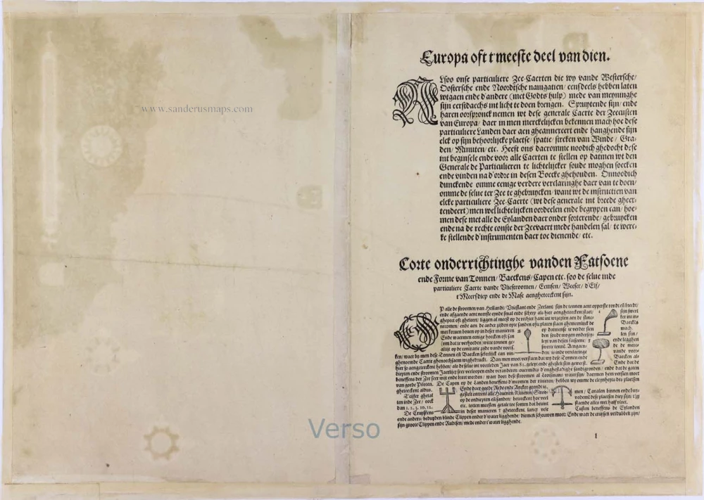
Verso: Dutch text.
Condition: Original coloured, age-toned, margins reinforced, some wear at the left upper and lower corners.
Condition Rating: A.
From: Teerste Deel vande Spieghel der Zeevaerdt, vande navigatie der Westersche Zee, Innehoudende alle de Custe[n] va[n] Vranckrijck Spaignen eñ t'principaelste deel van Engelandt, in diversche Zee Caerte[n] begrepe[n], met den gebruicke van dien, nu met grooter naersticheijt by ee[n] vergadert eñ ghepractizeert, Door Lucas Iansz. Waghenaer Piloot ofte Stuijrman Residerende Inde v(er)maerde Zeestadt Enchuijsen. ... Ghedruckt tot Leyden by Christoffel Plantijn, voor Lucas Janssz. Waghenaer van Enckhuysen. Anno M.D.LXXXV. (Koeman IV, p. 480, Wag2B)
Lucas Janszoon Waghenaer (c. 1533 – 1606)
Lucas Janszoon Waghenaer grew up in Enkhuizen, a fishing port in the Netherlands on the Zuiderzee. It is known that around 1570, Waghenaer was already involved in drawing sea charts. The first indication of his cartographic activity was the plan of the town, engraved by Harmen Hansz. Müller of Amsterdam, dated 2 February. 1577.
In 1579, he gave up his career as a maritime pilot and obtained a post in the town. At the same time, he prepared his chartbook. Cutting the plates cost Waghenaer a large sum. He constantly sought loans and had to accept small jobs to help him earn a living. In the wealthy town of Enkhuizen, he was a poor man, seeking support in every direction and trusting in the success of his significant undertaking: the edition of the Spieghel der Zeevaerdt.
In 1583, the first part of the 'Spieghel' went to press in Plantijn's then-recently established printing house in Leiden. He dedicated the work to Prince William of Orange.
On 25 January 1584, he had a formal certificate drawn up before a notary, which attested to the charts' reliability and originality in the Spieghel der Zeevaerdt.
Waghenaer continued to work on completing the second volume of the Spieghel. In the meantime, the first volume met with considerable success and was reprinted several times during the first two years. The work was reprinted regularly and was also very popular in England. Waghenaer had already become a famous man.
Soon after his Spieghel appeared, he formulated a plan to publish an improved "Rutter of the Sea'. This was to become the Thresoor der Zeevaerdt of 1592.
In addition to revenue from his books, he earned income from the sale of loose portolan charts. In 1580, he was granted a patent for two large charts of the European coasts. One of these portolan charts is the general map from the Spieghel der Zeevaerdt of 1584 and later editions.
In 1592, Jan Huygen van Linschoten settled in the town and wrote the journal of his voyages in Asia, which he published in 1596. In addition, Van Linschoten assisted Waghenaer in compiling another new seaman's guide, the Enchuyser Zeecaertboeck, which contained important information about the coasts of Northern Europe.
In 1598, Waghenaer was appointed as a commission member to develop a method for determining longitude at sea. Unfortunately, he must have been in financial difficulties for the last years of his life. He died in 1606, leaving his widow in dire circumstances.
............................................................................................
The Spieghel der Zeevaerdt or Speculum nauticum super navigatione holds a unique place among the printed rutters of the sea in the 16th century because it is the first printed rutter with charts. Further, it outranks any other rutter of its period with its splendid presentation of charts and text; as such, it stood as a model for the folio-size pilot guides with charts in the 17th century.
However, the format and typography needed to be more balanced to suit the tastes of the practical navigators of that time and those of Lucas Jansz. Waghenaer returned to the traditional, more modest rutter in the oblong format, The Thresoor der Zeevaert, in 1592.
Thanks to the unparalleled skill of the engravers, Baptist and Johannes van Deutecom, the original ms. Waghenaer's charts were transformed into the most beautiful maps of the period.
The composition and adornment have contributed significantly to the splendour of what were initially simple sketch charts; the typography of the Plantijn printing house at Leiden further enhanced the book's quality. In its concept, the text follows the traditional composition of the 16th-century pilot guides, but the charts form a new element. One remarkable feature is the coastal profiles projected onto the land along the coasts, further elucidated by profiles drawn in the charts' open areas. There is no evidence that Waghenaer copied his charts from existing sources. Some of them must have been based on his observations, and for the whole work, he must have relied on his rich experience in practical navigation.
Related items
Europa. 1600
Europe, by Matthias Quad.
[Item number: 26666]
L'Europe Divisee en ses Principaux Etats. 1776-79
Europe, by Francesco Santini.
[Item number: 26947]
Scarce woodcut map
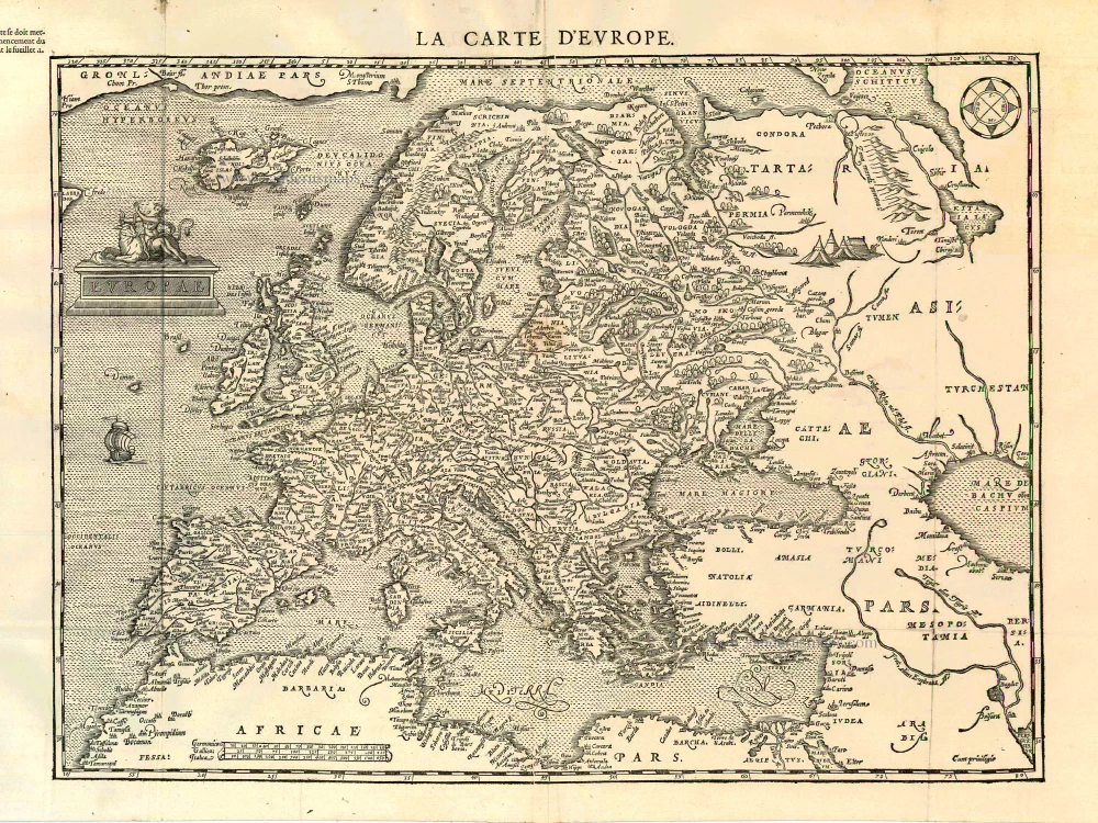
Europae. [Above the map :] La Carte d'Europe. 1575
Europe, by François de Belleforest.
[Item number: 27270]
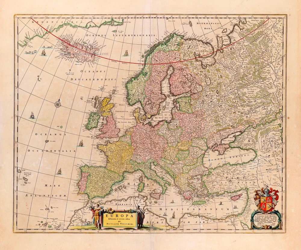
Europa delineata et recens edita. 1683-1696
Europe by Nicolaas Visscher II.
[Item number: 28712]
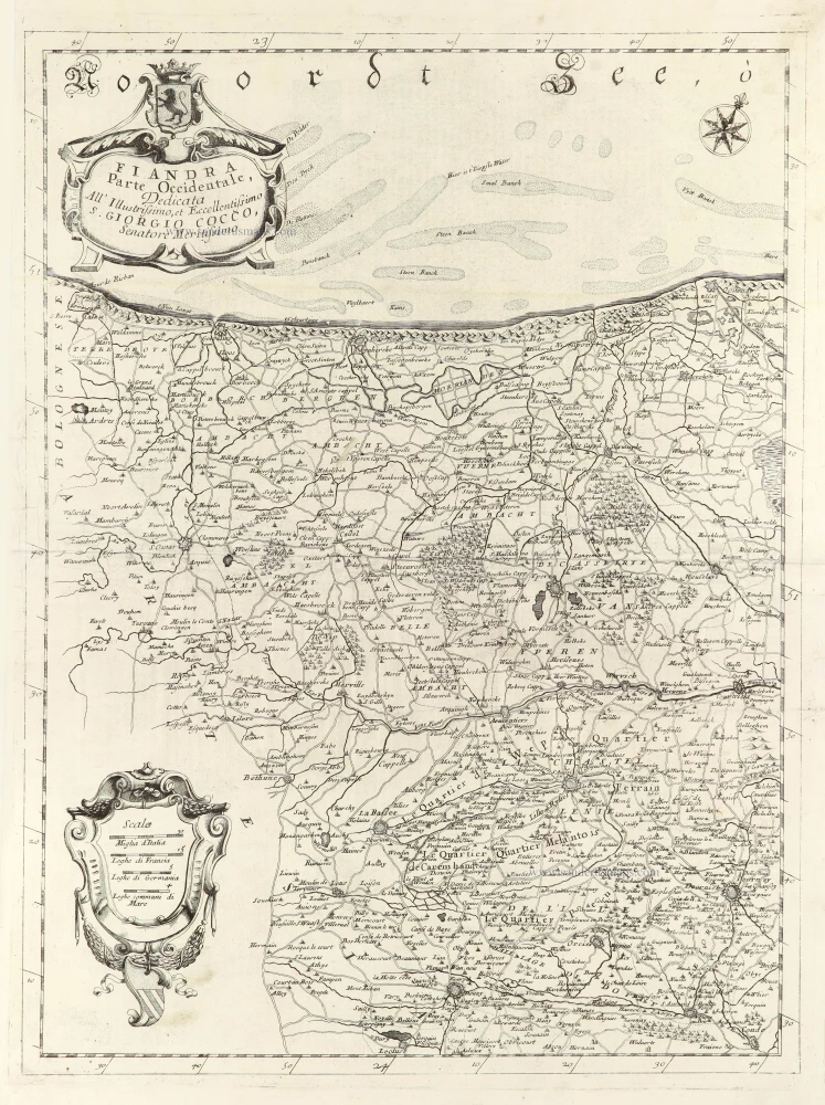
Fiandra Parte Occidentale, 1696
West Flanders, by Vincenzo Coronelli.
[Item number: 29223]
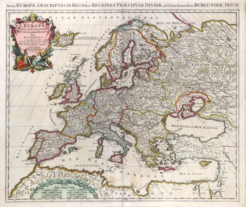
L'Europe Dreßée sur les Observations de Mrs. de l'Academie Royale des Sciences et quelques autres, & sur les memoires les plus recens. 1700-1708
Europe, by Guillaume Delisle, published by Pierre Mortier.
[Item number: 29519]
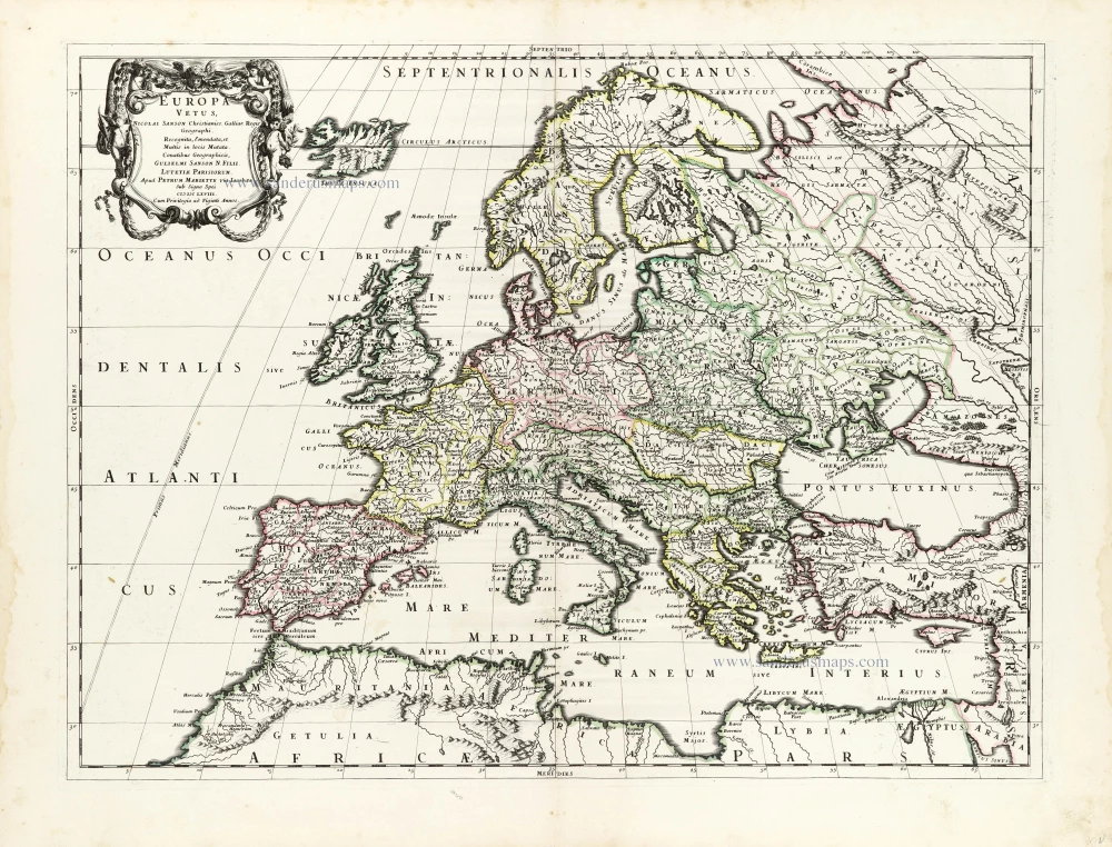
Europa Vetus. 1667-69
Ancient Europe by Nicolas & Guillaume Sanson.
[Item number: 30000]
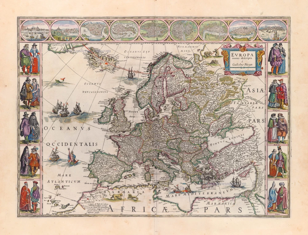
Europa Recens Descripta. 1659
Europe by Blaeu Willem & Joan
[Item number: 30206]
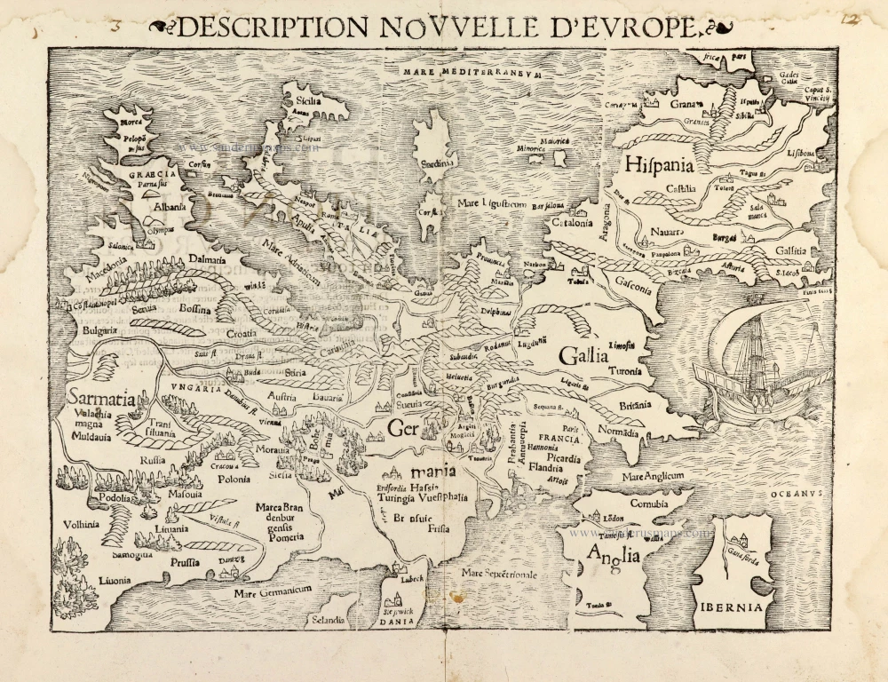
Description Nouvelle d'Europe. 1568
Europe by Sebastian Münster
[Item number: 30523]
Scarce map
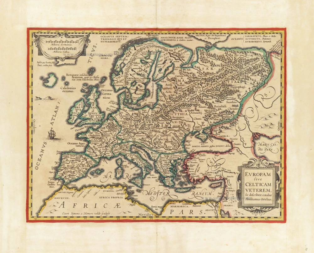
Europam sive Celticam Veterem c. 1630-1650
Europe by Evert van Hamersveldt, published by Johannes Janssonius.
[Item number: 30838]
Europae. 1612
Europe, by Abraham Ortelius.
[Item number: 30944]
Rare
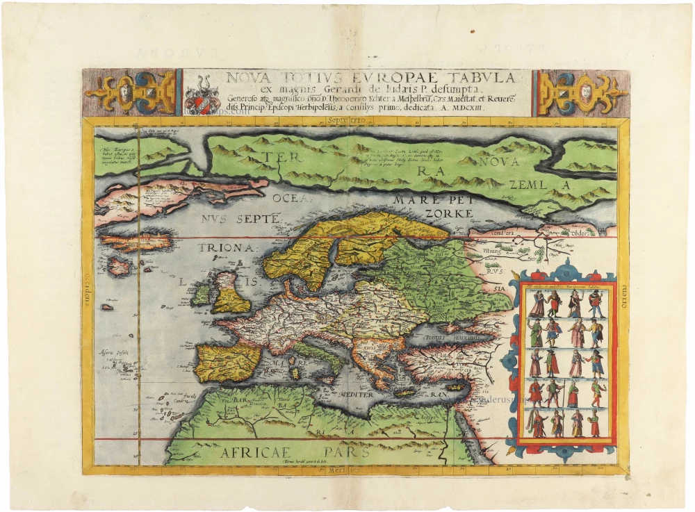
Nova Totius Europae Tabula ex magnis Gerardi de Iudaeis P. desumpta 1593
Europe by Cornelis de Jode
[Item number: 30946]

L'Europe Divisée Suivant l'Estendue de ses Principaux Estats subdivisés en leurs principales Provinces. 1692
Europe, by N. Sanson, so-called published by Hubert Jaillot. (Pirated edition by Pierre Mortier).
[Item number: 31138]

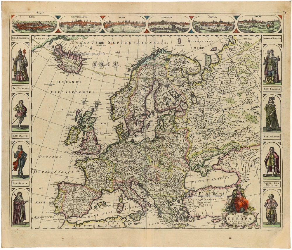
Europa Christiani Orbis Domina in sua Imperia, Regna, et Styatus exacte divisa c. 1720
Europe by J.B. Homann
[Item number: 32098]
Accuratissima Europae Tabula. 1696-1713
Europe by J. Danckerts.
[Item number: 32457]

L' Europa. 1677
Europe by Giovanni De Rossi, after Nicolas Sanson.
[Item number: 32886]
new

Europa, ad Magnae Europae Gerardi Mercatoris P. Imitationem, Rumoldi Mercatoris F. Cura Edita, Seruato Tamen Initio Longitudinis ex Ratione Magnetis, quod Pater in Magna sua Universali Posuit. 1613
Europe by Gerard Mercator.
[Item number: 32928]
new
Scarce
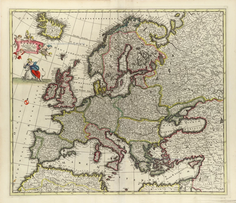
Nova Europa Descriptio. 1689-90
Europe by Frederick de Wit
[Item number: 32974]
new