
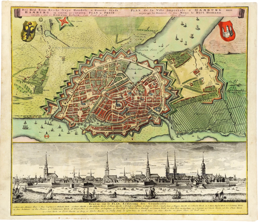
Plan and panoramic view of Hamburg, by Homann Heirs. After c. 1730
The Homann Family
Johann Baptist Homann (1664-1724) was born in Oberkammlach in Southern Germany. Around 1693 Homann moved to Vienna, where he lived and studied printing and copper plate engraving until 1695. In 1702 he founded a map publishing company in Nuremberg, which is recognized as one of the most important German map publishers of the eighteenth century. In the next five years, Homann produced hundreds of maps and developed a distinctive style characterized by heavy detailed engraving, elaborate allegorical cartouche work, and vivid hand colour. He published his first atlas in 1707. Homann's company successfully competed with leading European mapmakers. By 1715 Homann's rising star caught the attention of the Holy Roman Emperor Charles the VI, who appointed him Imperial Cartographer. In the same year, he was also appointed a member of the Royal Academy of Sciences in Berlin. Homann's prestigious title came with several significant advantages, including access to the most up to date cartographic information as well as the "Privilege". In 1716 Homann published his masterpiece Grosser Atlas über die ganze Welt (Grand Atlas of all the World).
After Johann Baptist Homann's death in 1724, Johan Christoph Homann (1703-1730) and other heirs continued the company under the name Homann's Erben (Homann's Heirs) until 1852.
Des Heil: Rom: Reichs freye Handels- u. Hansee Stadt Hamburg in einem accuraten Plan u: Prosp: entworfen u: edirt v: Homaenn: Erben.
Item Number: 33278 new Authenticity Guarantee
Category: Antique maps > Europe > Germany - Cities
Plan and panoramic view of Hamburg, by Homann Heirs.
Title: Des Heil: Rom: Reichs freye Handels- u. Hansee Stadt Hamburg in einem accuraten Plan u: Prosp: entworfen u: edirt v: Homaenn: Erben.
Cum Privil. S.C.M.
Second title in French
Date of the first edition: c. 1730-1740.
Date of this map: After c. 1730.
Copper engraving, printed on paper.
Image size: 495 x 565mm (19½ x 22¼ inches).
Sheet size: 520 x 615mm (20½ x 24¼ inches).
Verso: Blank.
Condition: Original coloured, excellent.
Condition Rating: A+.
Appeared in: Atlas Germaniae Specialis seu Systema Tabularum Geographicarum in quibus Imperium Romano-Germanicum generalibus repraesentationibus ... Nürnberg, Homann's Heirs, 1753-1757.
The Homann Family
Johann Baptist Homann (1664-1724) was born in Oberkammlach in Southern Germany. Around 1693 Homann moved to Vienna, where he lived and studied printing and copper plate engraving until 1695. In 1702 he founded a map publishing company in Nuremberg, which is recognized as one of the most important German map publishers of the eighteenth century. In the next five years, Homann produced hundreds of maps and developed a distinctive style characterized by heavy detailed engraving, elaborate allegorical cartouche work, and vivid hand colour. He published his first atlas in 1707. Homann's company successfully competed with leading European mapmakers. By 1715 Homann's rising star caught the attention of the Holy Roman Emperor Charles the VI, who appointed him Imperial Cartographer. In the same year, he was also appointed a member of the Royal Academy of Sciences in Berlin. Homann's prestigious title came with several significant advantages, including access to the most up to date cartographic information as well as the "Privilege". In 1716 Homann published his masterpiece Grosser Atlas über die ganze Welt (Grand Atlas of all the World).
After Johann Baptist Homann's death in 1724, Johan Christoph Homann (1703-1730) and other heirs continued the company under the name Homann's Erben (Homann's Heirs) until 1852.
Related items

Celeberrimi Fluvii Albis nova delineatio 1642-43
Elbe River - Hamburg by Blaeu W.
[Item number: 18728]
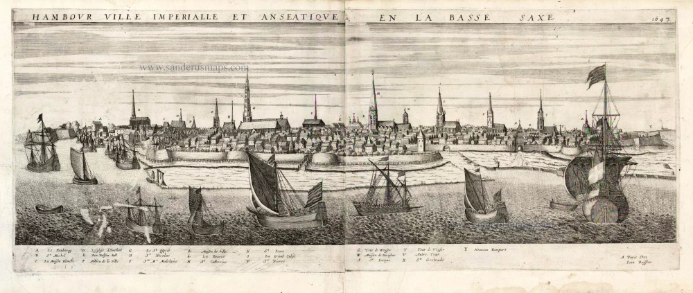
Hambour Ville Imperiale et Anseatique en la Bassa Saxe. 1477 1648
Hamburg by J. Boisseau.
[Item number: 25580]

Lubeca Urbs Imperialis Libera, Civitatum Wandalicarum, et Inclytae Hanseaticae Societatis Caput [on sheet with] Hamburga, Florentissimum Inferioris Saxoniae Emporium, Anglorum frequetatione hoc tepore celeberrimum A° Dñi: M.D.LXXII. 1574
Lubeck - Hamburg, by Georg Braun & Frans Hogenberg.
[Item number: 28037]

Lubeca Urbs Imperialis ... Inclytae Hanseaticae Societatis Caput. [on sheet with] Hamburga, Florentissimum Inferioris Saxoniae Emporium, Anglorum frequetatione hoc tepore celeberrimum A° Dni: M.D.LXXII. 1572
Lubeck and Hamburg, by Georg Braun and Frans Hogenberg.
[Item number: 29419]
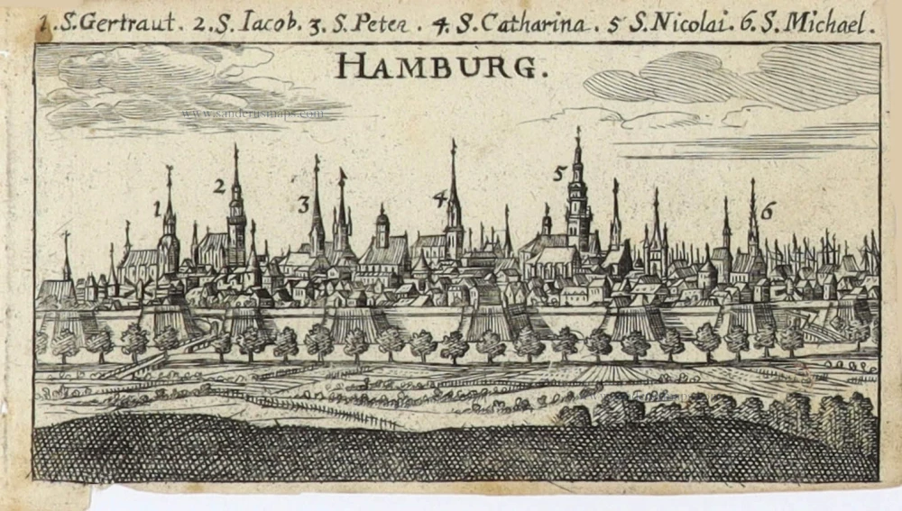
Hamburg. 1686
Hamburg by Christoph Riegel.
[Item number: 32110]

Ducatus Bremae & Ferdae Maximaeque partis Fluminis Visurgis. 1682-88
The Duchies of Bremen and Verden, including Oldenburg and Hamburg on the River Elbe, by Frederick De Wit.
[Item number: 32635]
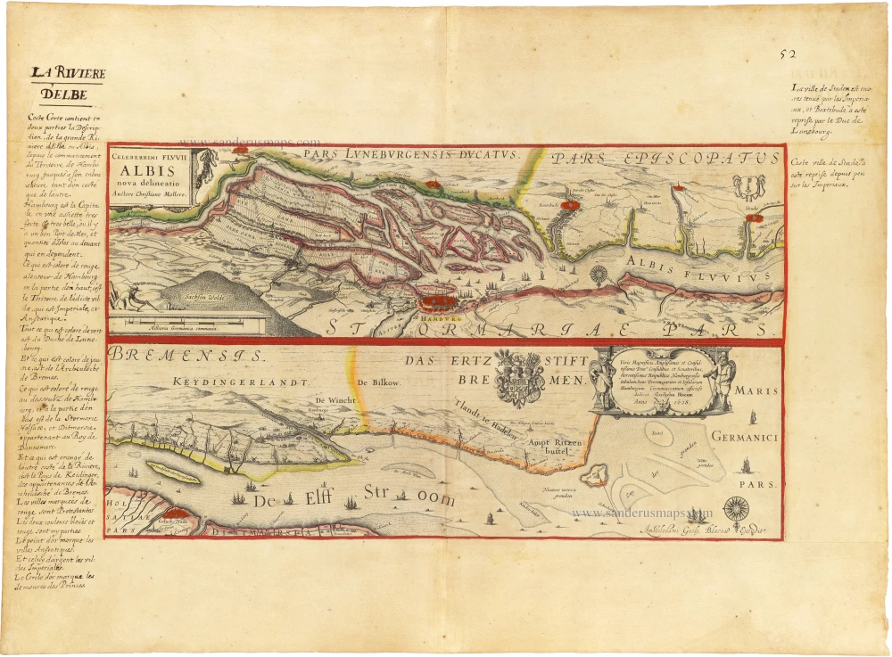
Celeberrimi Fluvii Albis nova delineatio c. 1620-1650
Elbe River - Hamburg by Blaeu W.
[Item number: 33286]
new