
Unrecorded variant of Schut's view of Cologne (Köln), by Carel Allard
View of Cologne (Köln) by Carel Allard. 1673

This is an unrecorded variant of Schut's view of Cologne (Köln). The engraving is printed with a different plate. The most noticeable differences are the various cloud formations with birds in the sky, the different vegetal garlands with fruits, and the absence of the imprint of N. Visscher.
The Allard Family
The founder of this family of map-makers, publishers and print-sellers was Huych (Hugo) Allard (1625-1691). He worked in Amsterdam in 1684 and is supposed to have begun his business as early as 1645. He died in 1691, leaving his shop to his son, Carel Allard (1648-c. 1706). Carel brought out many maps and some atlases. His atlases are mainly composed of maps from the stock of other publishers like Janssonius and De Wit. However, some maps were his original creations. The States of Holland granted him a privilege for these maps in 1683.
One of the sons of Carel, Abraham Allard (1676-c.1730), joined his father in the map trade and was accepted as a member of the ‘Constvercoopers gilde’ (Art dealer’s Guild) in 1708.
The original geographical maps by Allard, designed and cut between 1680 and 1700, are very decorative, well-composed and up-to-date.
CÖLLN.
Item Number: 30553 Authenticity Guarantee
Category: Antique maps > Europe > Germany - Cities
View of Cologne (Köln) by Carel Allard.
Title: CÖLLN.
Date: 1673.
Copper engraving, printed on paper.
Image size: 213 x 270mm (8.39 x 10.63 inches).
Sheet size: 315 x 395mm (12.4 x 15.55 inches).
Verso: Blank.
Condition: Excellent.
Condition Rating: A+.
From: Allard Carolus, De Voornaemste Steden des Werelts. - The Principall Citties of the World. t' Amsterdam by Gerrit Van Schagen, by de Nieuwe Haerlemmer Sluys inde Stuerman. 1673.
A suite of views of important cities & towns, now in the Trinity College Dublin. See: https://www.lbrowncollection.com/cities-towns-carolus-allard-1673-k-2-3/
This is an unrecorded variant of Schut's view of Cologne (Köln). The engraving is printed with a different plate. The most noticeable differences are the various cloud formations with birds in the sky, the different vegetal garlands with fruits, and the absence of the imprint of N. Visscher.
The Allard Family
The founder of this family of map-makers, publishers and print-sellers was Huych (Hugo) Allard (1625-1691). He worked in Amsterdam in 1684 and is supposed to have begun his business as early as 1645. He died in 1691, leaving his shop to his son, Carel Allard (1648-c. 1706). Carel brought out many maps and some atlases. His atlases are mainly composed of maps from the stock of other publishers like Janssonius and De Wit. However, some maps were his original creations. The States of Holland granted him a privilege for these maps in 1683.
One of the sons of Carel, Abraham Allard (1676-c.1730), joined his father in the map trade and was accepted as a member of the ‘Constvercoopers gilde’ (Art dealer’s Guild) in 1708.
The original geographical maps by Allard, designed and cut between 1680 and 1700, are very decorative, well-composed and up-to-date.
Related items

Colonia [on verso:] Augusta 1493
Cologne and Augsburg (recto-verso), by Hartmann Schedel.
[Item number: 2964]

Colonia. 1493
Cologne (Köln), by Hartmann Schedel.
[Item number: 10231]

Berghe Ducatus Marck Comitatus et Coloniensis Dioecesis. 1619
Berg, Mark, and Cologne (Köln) By Gerard Mercator.
[Item number: 12583]

Coloniensis Archiepiscopatus. 1647-50
Cologne (Köln), by Willem Blaeu.
[Item number: 19075]

Profil de la Ville Archiepiscopale et Electorale de Colongne Agripine. 1648
Cologne (Köln) by J. Boisseau
[Item number: 25621]

Cölln. 1658/60
Panoramic view of Köln (Cologne), by N. Visscher & P.H. Schut.
[Item number: 26645]
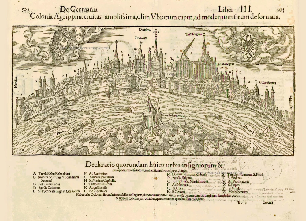
Colonia Agrippina civitas amplissima, olim Ubiorum caput, ad modernum situm deformata. 1552
Cologne (Köln) by Sebastian Münster
[Item number: 27406]

Colonia Agrippina Urbs Ampla ... Inferioris, Sine Secundae Germaniae Caput et Metropolis. 1575
Cologne (Köln), by Georg Braun and Frans Hogenberg.
[Item number: 29417]

Archevesché et Eslectorat de Cologne avec ses Enclaves dans les Pays Circomvoisins. 1692
Cologne (Köln) by N. Sanson, so-called published by Hubert Jaillot. (Pirated edition by Pierre Mortier).
[Item number: 31405]

Cölln. 1686
Köln (Cologne) by Christoph Riegel.
[Item number: 31704]

L'Archevesche de Coulongne. 1633
Cologne (Köln) by Christophe Tassin.
[Item number: 31936]