
Southeastern Germany, by Antonio Zatta. 1779-1785
Antonio Zatta (ca. 1722-1804)
Antonio Zatta was an influential Italian cartographer and publisher based in Venice during the 18th century. As one of the last great mapmakers of the Italian Enlightenment, Zatta played a crucial role in preserving and advancing the art of cartography at a time when Venice's status as a centre for mapmaking was in decline.
Little is known about his early life, but Zatta established himself as a prolific publisher and printer, producing a wide range of works including atlases, city plans, and historical maps. His most celebrated achievement is the Atlante Novissimo, published between 1775 and 1785. This monumental four-volume atlas is considered one of the finest Italian cartographic productions of its time. It combined contemporary geographical knowledge with elegant artistry, featuring detailed hand-coloured maps, elaborate title cartouches, and decorative embellishments characteristic of the late Baroque style.
Zatta’s work is notable for incorporating the latest geographical discoveries alongside classical and historical information, reflecting the Enlightenment's emphasis on reason, exploration, and empirical knowledge. He published maps covering all parts of the known world, including detailed representations of Europe, the Americas, and Asia, often updating older cartographic models with new data from explorers and diplomats.
Among his notable contributions is one of the earliest printed maps depicting the newly independent United States after the American Revolutionary War. Zatta's 1778 map, "Gli Stati Uniti della America Settentrionale," adapted English and French sources, marking a significant moment in the cartographic recognition of the United States.
Antonio Zatta's legacy endures through the beauty and precision of his maps, which continue to be prized by collectors and historians alike for their artistic merit and historical value. His works offer a window into the geographical understanding and visual culture of the 18th century, securing his place among the notable figures of cartographic history.
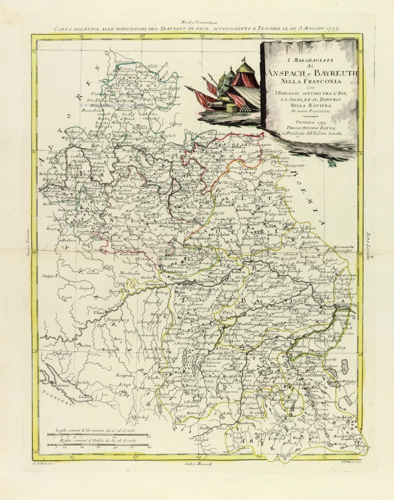
I Margraviati di Anspach, e Bayreuth nella Franconia Con I Bailaggi situati fra l'Inn, La Salza, ed il Danubio nella Baviera.
Item Number: 32317 Authenticity Guarantee
Category: Antique maps > Europe > Germany
Moldavia - Southern Romania, by Antonio Zatta.
Title: Principati di Moldavia, e Vallachia
Tratti dalle Carte dell' Impero Ottomano del Sigr. Rizzi Zanoni.
Venezia 1782 | Presso Antonio Zatta.
Con Privilegio dell' Eccmo Senato.
G. Zuliani inc. G Pitteri scr.
Engraver: Giuliano Zuliani & Giovanni Pitteri.
Date of the first edition: 1779-1785.
Date of this map: 1779-1785.
Date on map: 1782.
Copper engraving, printed on paper.
Image size: 315 x 405mm (12½ x 16 inches).
Sheet size: 390 x 505mm (15¼ x 20 inches).
Verso: Blank.
Condition: Original coloured, excellent.
Condition Rating: A+.
From: noniAtlante novissimo, illustrato ed accresciuto sulle osservazioni, e scoperte fatte dai più celebri e più recenti geografi, che ora per la prima volta si produce. Venice, Antonio Zatta, 1779-1785.
Antonio Zatta (ca. 1722-1804)
Antonio Zatta was an influential Italian cartographer and publisher based in Venice during the 18th century. As one of the last great mapmakers of the Italian Enlightenment, Zatta played a crucial role in preserving and advancing the art of cartography at a time when Venice's status as a centre for mapmaking was in decline.
Little is known about his early life, but Zatta established himself as a prolific publisher and printer, producing a wide range of works including atlases, city plans, and historical maps. His most celebrated achievement is the Atlante Novissimo, published between 1775 and 1785. This monumental four-volume atlas is considered one of the finest Italian cartographic productions of its time. It combined contemporary geographical knowledge with elegant artistry, featuring detailed hand-coloured maps, elaborate title cartouches, and decorative embellishments characteristic of the late Baroque style.
Zatta’s work is notable for incorporating the latest geographical discoveries alongside classical and historical information, reflecting the Enlightenment's emphasis on reason, exploration, and empirical knowledge. He published maps covering all parts of the known world, including detailed representations of Europe, the Americas, and Asia, often updating older cartographic models with new data from explorers and diplomats.
Among his notable contributions is one of the earliest printed maps depicting the newly independent United States after the American Revolutionary War. Zatta's 1778 map, "Gli Stati Uniti della America Settentrionale," adapted English and French sources, marking a significant moment in the cartographic recognition of the United States.
Antonio Zatta's legacy endures through the beauty and precision of his maps, which continue to be prized by collectors and historians alike for their artistic merit and historical value. His works offer a window into the geographical understanding and visual culture of the 18th century, securing his place among the notable figures of cartographic history.
Related items
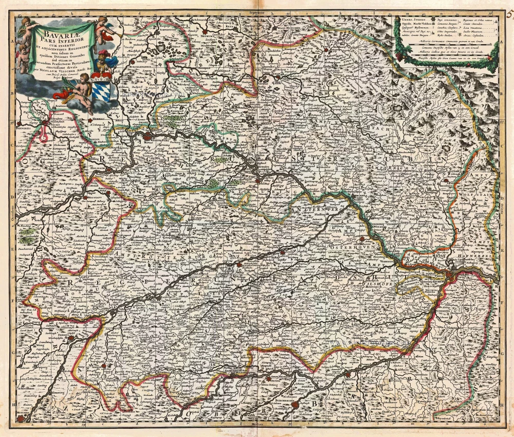
Bavariae Pars Inferior cum insertis et adjacentibus Regionibus ... 1683-1696
Bavaria (Bayern), by N. Visscher.
[Item number: 14590]
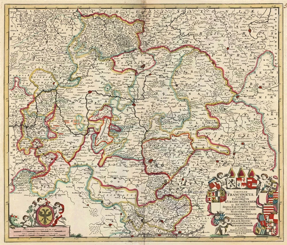
Circulus Franconicus in quo sunt Episcopatus Wurtzburg, Bamberg et Aichstet, Status Equitum Teutonicor Ducatus Coburgensis, Marchionatus Cullembach, et Onspach, Comitatus Henneberg, Wertheim Holach, Reinec, Papenheim, Erpach Schwartzenberg, et Castel, Baronatus Sensheim et Territorium Norinbergensis. c. 1682-96
Bavaria (Bayern) by F. de Wit
[Item number: 14815]

Le Cercle de Baviere subdivisé en tous les Estats qui le composent ... 1721-41
Bavaria (Bayern), by Covens & Mortier.
[Item number: 23814]
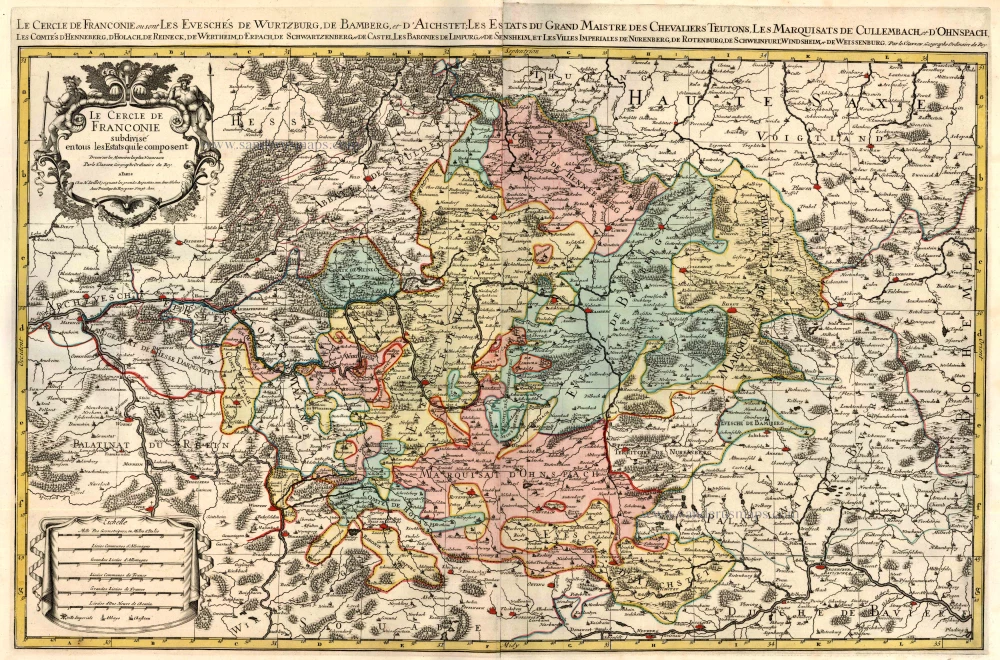
Le Cercle de Franconie subdivisé en tous les Estats qui le composent. c. 1695
Bavaria (Bayern) by Hubert Jaillot - Covens & Mortier.
[Item number: 23819]

Partie Orientale du Cercle de Franconie. 1721-41
Bavaria (Bayern), by Covens & Mortier.
[Item number: 23820]

Circulus Bavaricus in quo sunt Ducatus Electoratus, & Palatinat Bavariae, Archiepisc. Salisburgi, Episcopatus Ratisbonae, Pataviae, & Fruxini, Palatinat Neoburgi & Landgravius Leuchtenbergi. c. 1680
Bayern, by F. De Wit.
[Item number: 24403]

Bavaria Ducatus 1623
Bayern, by G. Mercator.
[Item number: 24950]

La description de Souabe et Baviere. 1555
Bayern, by S. Munster.
[Item number: 25169]

Bavaria Ducatus. 1644
The Duchy of Bayern by Willem Blaeu.
[Item number: 28588]

Bavaria Ducatus. c. 1640
Bayern by Cornelis Danckerts.
[Item number: 29014]

Sueviae et Bavariae Descriptio. 1550
Southern Germany (Schwaben & Bayern), by Sebastian Münster.
[Item number: 29302]

Bavariae superioris et Inferioris nova descriptio. 1653
Bayern by Johannes Janssonius.
[Item number: 30392]