
Ost-Friesland by C. Tassin. 1633

Tassin Christophe Nicolas. (? - 1660)
Christophe Tassin was a French cartographer known for his atlases of France, Spain, Germany, and Switzerland.
He was 'Ingenieur-géographe du roi'. He used this title only between 1633 and 1638. In 1633 Tassin published an atlas of France and Spain, Cartes générales des provinces de France et d’ Espagne; one of Germany, Cartes généralis des royaumes et provinces de la haute et basse Allemagna; and one of the Low Countries, Plans et profils des principales villes du duché de Lorraine, avec les cartes generale et particulieres de chacun gouvernement d’iucelles.
In 1644, Tassin ended his work and sold his copper plates of maps to Antoine de Fer, who published them in many subsequent editions.
La Frise Orientale.
Item Number: 31757 Authenticity Guarantee
Category: Antique maps > Europe > Germany
Ost-Friesland by C. Tassin.
Title: La Frise Orientale.
Date of the first edition: 1633.
Date of this map: 1633.
Copper engraving, printed on paper.
Image size: 105 x 150mm (4¼ x 6 inches).
Sheet size: 155 x 195mm (6 x 7¾ inches).
Verso: Blank.
Condition: Excellent.
Condition Rating: A+.
From: Tassin C. Cartes Generales des Royaumes et Provinces de la Haute et Basse Allemagne. Reveues, corrigées & augmentées par le sieur Tassin Geographe ordinaire de sa Majesté. A Paris, Chez Martin Gobert au Palais en la gallerie des prisonniers. M.DC.XXXIII. (1633). (Pastoureau, p. 445, Tassin IV Aa 1633)
Tassin Christophe Nicolas. (? - 1660)
Christophe Tassin was a French cartographer known for his atlases of France, Spain, Germany, and Switzerland.
He was 'Ingenieur-géographe du roi'. He used this title only between 1633 and 1638. In 1633 Tassin published an atlas of France and Spain, Cartes générales des provinces de France et d’ Espagne; one of Germany, Cartes généralis des royaumes et provinces de la haute et basse Allemagna; and one of the Low Countries, Plans et profils des principales villes du duché de Lorraine, avec les cartes generale et particulieres de chacun gouvernement d’iucelles.
In 1644, Tassin ended his work and sold his copper plates of maps to Antoine de Fer, who published them in many subsequent editions.
Related items

Westfalia Cum Dioecesi Bremensi 1595
Ost-Friesland, Oldenburg, and Bremen by Gerard Mercator.
[Item number: 19091]

Frisia Orientalis [With inset:] Rideriae Portionis. 1612
Ost-Friesland by Ortelius A.
[Item number: 22948]

Frisia Orientalis [With inset:] Rideriae Portionis. 1612
Ost-Friesland by Abraham Ortelius.
[Item number: 23047]
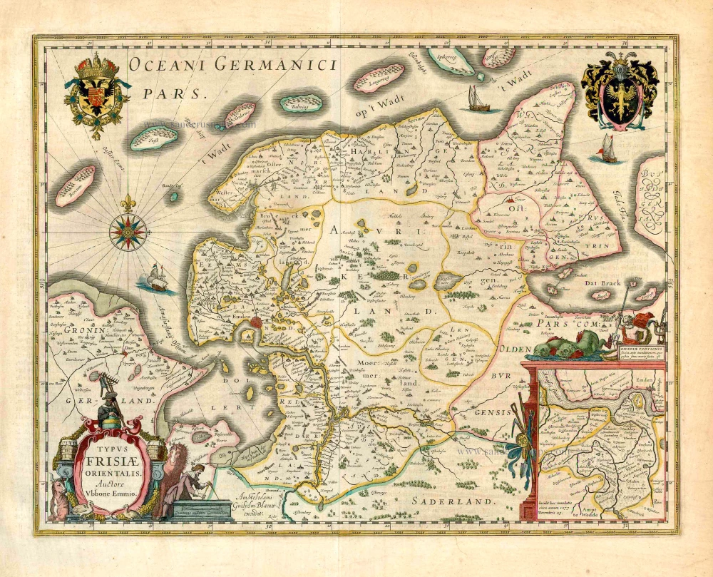
Typus Frisiae Orientalis. 1643
Ost-Friesland, by Willem Blaeu.
[Item number: 27110]
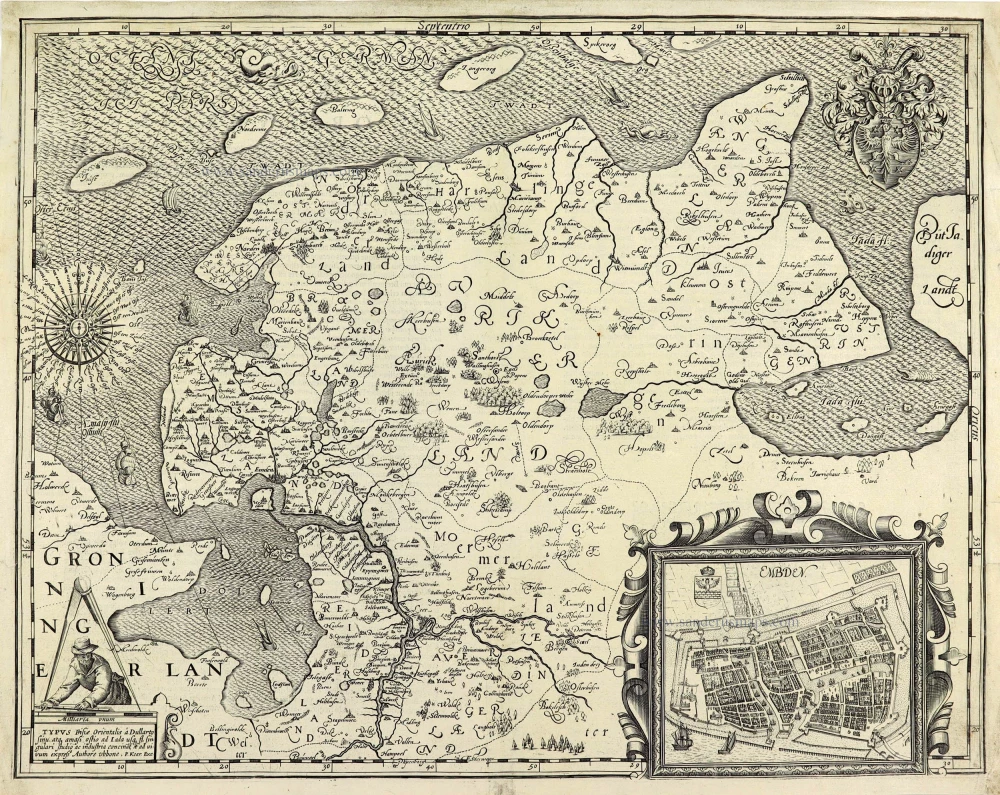
TYPUS Frisiae Orientalis à Dullarto sinu, atq. amasi ostio ad Iada usq fl. singulari studio ac industria concinat et ad vivum expressus. 1622
Ost-Friesland by Petrus Kaerius (Pieter Van den Keere).
[Item number: 28212]
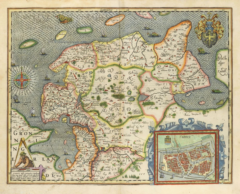
TYPUS Frisiae Orientalis à Dullarto sinu, atq. amasi ostio ad Iada usq fl. singulari studio ac industria concinat et ad vivum expressus. 1622
Ost-Friesland by Petrus Kaerius (Pieter Van den Keere).
[Item number: 28531]

Episcopatus Bremensis cum Adiacentibus. 1653
Ost-Friesland, Oldenburg, and Bremen by Johannes Janssonius after Gerard Mercator.
[Item number: 30374]
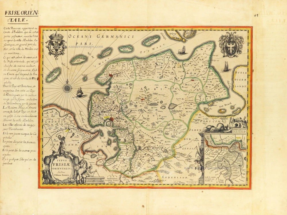
Typus Frisiae Orientalis. c. 1610-1650
Antique map of Ost-Friesland by J. Janssonius.
[Item number: 31218]

Westfalia Cum Dioecesi Bremensi c. 1620-1650
Ost-Friesland, Oldenburg, and Bremen by Gerard Mercator, published by Henricus Hondius
[Item number: 33282]
new