
Southern Netherlands by Frederick de Wit c. 1680
Frederick de Wit (1630-1706)
The engraver and map-seller, Frederick de Wit, was born in Gouda (Netherlands) in 1630 as a son of Hendrick Fredericksz de Wit. Through his marriage with Maria van der Waag of Amsterdam in 1661, he obtained citizenship of the city where he had been working since 1648 and where he became one of the most famous engravers of maps of the second half of the 17th century. Although De Wit was a Catholic, which meant that he was not favoured at the time by the city council, he was awarded the honour of being listed as one of the "excellent citizens" on the roll of the city council in the years 1694-1704. However, his name was not written in the Guild of St. Luke book before 1664. At that time, he lived on the Kalverstraat "in de Witte Pascaert", where he stayed until his death in 1706. His earliest dates on maps engraved are 1659 (Regni Daniae) and 1660 (World map).
Frederick de Wit published several world atlases, a sea atlas, and an atlas of the Netherlands.
The dating of the maps is difficult. However, as a privilege was granted in 1689, the annotation 'cum privilegio' marks an edition after 1688.
Around 1700, Frederick de Wit entered the market with a town atlas. He produced two volumes with a total of 260 plans and views. Most were printed from plates used for Janssonius and Blaeu town atlases.
After he died in 1706, his widow continued the shop until 1709. The plates and stock of De Wit's atlas were sold to Covens & Mortier in 1710, who sold the atlas for an extended period.
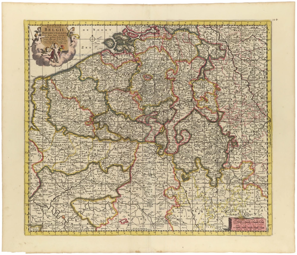
Nova et Accurata Belgii Hispanici Galliciq.
Item Number: 33155 Authenticity Guarantee
Category: Antique maps > Europe > Belgium
Southern Netherlands by Frederick de Wit.
Title: Nova et Accurata Belgii Hispanici Galliciq.
Tabula denuo bene Correcta in Partes perfecte divisa et in lucem edita per F. De Witt.
Amstelodami cum Privilegio D.D. Ordin Holla Westfrisiaeq.
[bottom centre:] Gedruckt tot Amsterdam by Frederick de Wit inde Kalverstraat inde Witte Pascaert.
Date of the first edition: C. 1691.
Date of this map: c. 1680.
Copper engraving, printed on paper.
Image size: 465 x 535mm (18¼ x 21 inches).
Sheet size: 540 x 630mm (21¼ x 24¾ inches).
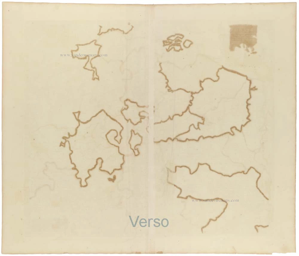
Verso: Blank.
Condition: Original coloured, green colour turned brown, small reinforcements at the back.
Condition Rating: A.
From: Composite Atlas by F. De Wit, c. 1691-96.
Frederick de Wit (1630-1706)
The engraver and map-seller, Frederick de Wit, was born in Gouda (Netherlands) in 1630 as a son of Hendrick Fredericksz de Wit. Through his marriage with Maria van der Waag of Amsterdam in 1661, he obtained citizenship of the city where he had been working since 1648 and where he became one of the most famous engravers of maps of the second half of the 17th century. Although De Wit was a Catholic, which meant that he was not favoured at the time by the city council, he was awarded the honour of being listed as one of the "excellent citizens" on the roll of the city council in the years 1694-1704. However, his name was not written in the Guild of St. Luke book before 1664. At that time, he lived on the Kalverstraat "in de Witte Pascaert", where he stayed until his death in 1706. His earliest dates on maps engraved are 1659 (Regni Daniae) and 1660 (World map).
Frederick de Wit published several world atlases, a sea atlas, and an atlas of the Netherlands.
The dating of the maps is difficult. However, as a privilege was granted in 1689, the annotation 'cum privilegio' marks an edition after 1688.
Around 1700, Frederick de Wit entered the market with a town atlas. He produced two volumes with a total of 260 plans and views. Most were printed from plates used for Janssonius and Blaeu town atlases.
After he died in 1706, his widow continued the shop until 1709. The plates and stock of De Wit's atlas were sold to Covens & Mortier in 1710, who sold the atlas for an extended period.
Related items

Europae (Ae) Bellonae Theatrum Magnum et Fere Perpetuum continens Brabantiam, Flandriam, Namurcum finitimasque Praefecturas ac Toparchias. c. 1730-1760
Southern Netherlands, by Petrus Schenk.
[Item number: 28008]

Carte des Pays Bas Catholiques. [Title above map:] Belgium Regium Accuratissime divisum. &c. ad usum serenissimi Burgundiae Ducis. Aythore G. De L'Isle, Geographe. ca. 1730.
Southern Netherlands by G. De L'Isle, published by Covens & Mortier.
[Item number: 28338]

Belgii Regii accuratissima Tabula. c. 1675
Southern Netherlands (Zuidelijke Nederlanden) by Nicolaes Visscher I.
[Item number: 28518]
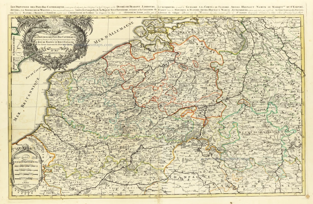
Les provinces des Pays Bas Catholiques distinguées suivant qu'elles sont présentement partagées entre le Roy de France, le Roy d'Espagne et les Estats Genereaux des Provinces-Unies. 1692
The Southern Netherlands, by N. Sanson, so-called published by Hubert Jaillot. (Pirated edition by Pierre Mortier).
[Item number: 31720]

Provincie Meridionali de Paesi Bassi, Intese sotto nome di Fiandra ouero Li Paesi Bassi Cattolici, con li confini di Francia, di Allemagna, e di Hollandia. 1677
Southern Netherlands (Zuidelijke Nederlanden) by Nicolas Sanson, published by Giovanni Giacomo de Rossi.
[Item number: 32903]