
Holland by Gerard de Jode 1578


In 1578 Gerard de Jode published his Speculum Orbis Terrarum, an atlas aimed at competing with the Theatrum of Ortelius. However, the latter had first been issued in 1570 and had already built a commanding market presence, so despite de Jode's long-standing reputation, the atlas did not sell very well. Only a dozen or so examples have survived. Undeterred, he made plans for another expanded edition, and upon his death in 1591, it was taken on by his son Cornelis. The Speculum Orbis Terrae of 1593 likewise did not sell well and was never reissued. Although more examples than the first edition have survived, it too is very scarce. Many of de Jode's maps are judged to be superior to those of Ortelius in detail and style.
Gerard and Cornelis de Jode
Gerard de Jode (Judaeus) (1508(?)-1591), a native of Nijmegen, began his career as a printer and engraver in Antwerp about 1550. He lived near the Bourse on the Catelijne Veste, or on "de Catte". He was in regular contact with Christoffel Plantin, to whom he sold many prints and maps. De Jode's business, which must have been a major one among Antwerp's many booksellers and printers, was represented at the Frankfurt fair, where de Jode bought maps that he later copied or re-sold. Most of the maps sold by De Jode have prototypes of Italian or German origin. Apart from his many separately published maps, Gerard de Jode is known for his atlas, Speculum Orbis Terrarum, published in 1578. Part of the engraving was done by himself, and part by brothers Jan and Lucas van Doetecum.
Gerard de Jode and Abraham Ortelius, who partly lived as map sellers, were competitors and only sometimes on good terms.
After the death of Gerard de Jode in 1591, the business was carried on by his widow, Pascale van Gelder and his son, Cornelis (1568-1600). More a publisher than an engraver, the latter reissued the Speculum in 1593, adding new maps and revising others.
Despite all its deficiencies, the Speculum must have had a good reputation. It is mentioned alongside Mercator's Atlas and Ortelius's Theatrum in Petrus Montanus's preface to the Germania Inferior of Pieter van den Keere.
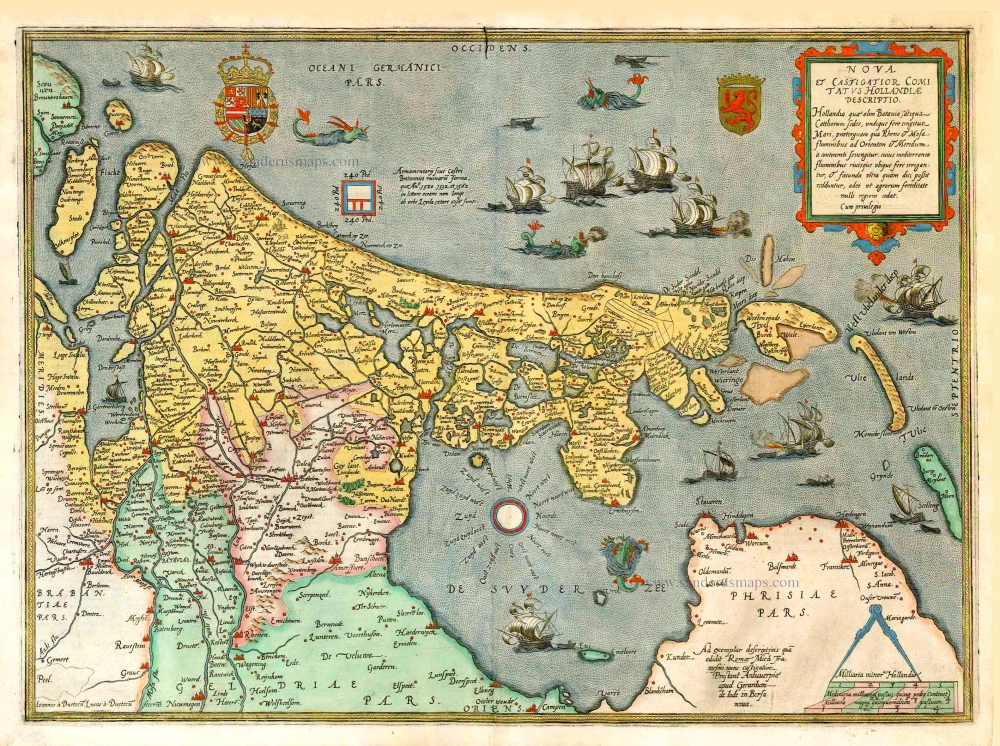
Nova et Castigatior Comitatus Hollandiae Descriptio.
Item Number: 11994 Authenticity Guarantee
Category: Antique maps > Europe > The Netherlands
Old, antique map of Holland, by Gerard de Jode.
Title: Nova et Castigatior Comitatus Hollandiae Descriptio.
Hollandia qua' olim Batavia ãtiqua Cathorum sedes, ...
Cum privilegio.
Ad exemplar descriptinis quã edidit Romae Mich Tramesini nunc castigatior. | Prostant Antuuerpiae
apud Gerardum de Jode in Borse nova.
Oriented to the west.
Cartographer: Jacob van Deventer.
Engraver: Johannes & Lucas Van Deutecum.
Date of the first edition: 1578.
Date of this map: 1578.
Copper engraving, printed on paper.
Size (not including margins): 370 x 510mm (14.57 x 20.08 inches).
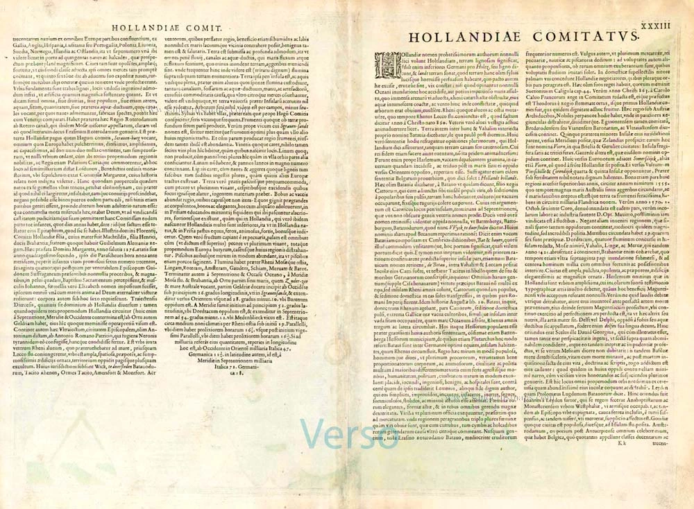
Verso: Latin text.
Condition: Original coloured, lower centrefold split reinforced.
Condition Rating: A+.
References: Van der Krogt 3, 3400:32A b; Blonk, 14; Karrow, 25/4.10; TNH Doet3, 591 II.
From: Speculum Orbis Terrae. Antwerp, G. De Jode, 1578. (Van der Krogt 3, 32:01)
In 1578 Gerard de Jode published his Speculum Orbis Terrarum, an atlas aimed at competing with the Theatrum of Ortelius. However, the latter had first been issued in 1570 and had already built a commanding market presence, so despite de Jode's long-standing reputation, the atlas did not sell very well. Only a dozen or so examples have survived. Undeterred, he made plans for another expanded edition, and upon his death in 1591, it was taken on by his son Cornelis. The Speculum Orbis Terrae of 1593 likewise did not sell well and was never reissued. Although more examples than the first edition have survived, it too is very scarce. Many of de Jode's maps are judged to be superior to those of Ortelius in detail and style.
Gerard and Cornelis de Jode
Gerard de Jode (Judaeus) (1508(?)-1591), a native of Nijmegen, began his career as a printer and engraver in Antwerp about 1550. He lived near the Bourse on the Catelijne Veste, or on "de Catte". He was in regular contact with Christoffel Plantin, to whom he sold many prints and maps. De Jode's business, which must have been a major one among Antwerp's many booksellers and printers, was represented at the Frankfurt fair, where de Jode bought maps that he later copied or re-sold. Most of the maps sold by De Jode have prototypes of Italian or German origin. Apart from his many separately published maps, Gerard de Jode is known for his atlas, Speculum Orbis Terrarum, published in 1578. Part of the engraving was done by himself, and part by brothers Jan and Lucas van Doetecum.
Gerard de Jode and Abraham Ortelius, who partly lived as map sellers, were competitors and only sometimes on good terms.
After the death of Gerard de Jode in 1591, the business was carried on by his widow, Pascale van Gelder and his son, Cornelis (1568-1600). More a publisher than an engraver, the latter reissued the Speculum in 1593, adding new maps and revising others.
Despite all its deficiencies, the Speculum must have had a good reputation. It is mentioned alongside Mercator's Atlas and Ortelius's Theatrum in Petrus Montanus's preface to the Germania Inferior of Pieter van den Keere.
Related items
Novissima Tabula Insular. Dordracensis, Ablasser, ... 1636
Holland (Southeast), by Hondius H.
[Item number: 1235]
Strong impression. Important map.
Comitatus Hollandia 1633
Holland by C.J. Visscher.
[Item number: 2748]
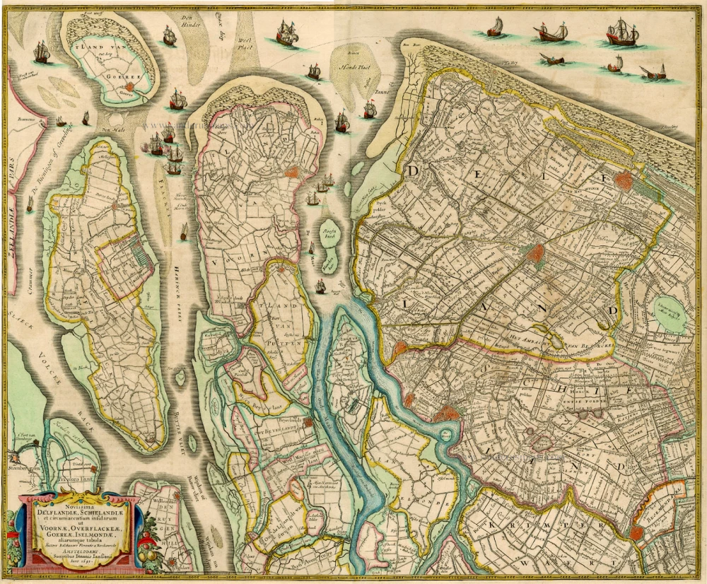
Novissima Delflandiae, Schielandiae et circumiacentium insularum ... 1644-58
Holland, by J. Janssonius
[Item number: 2848]
Rare and important map!
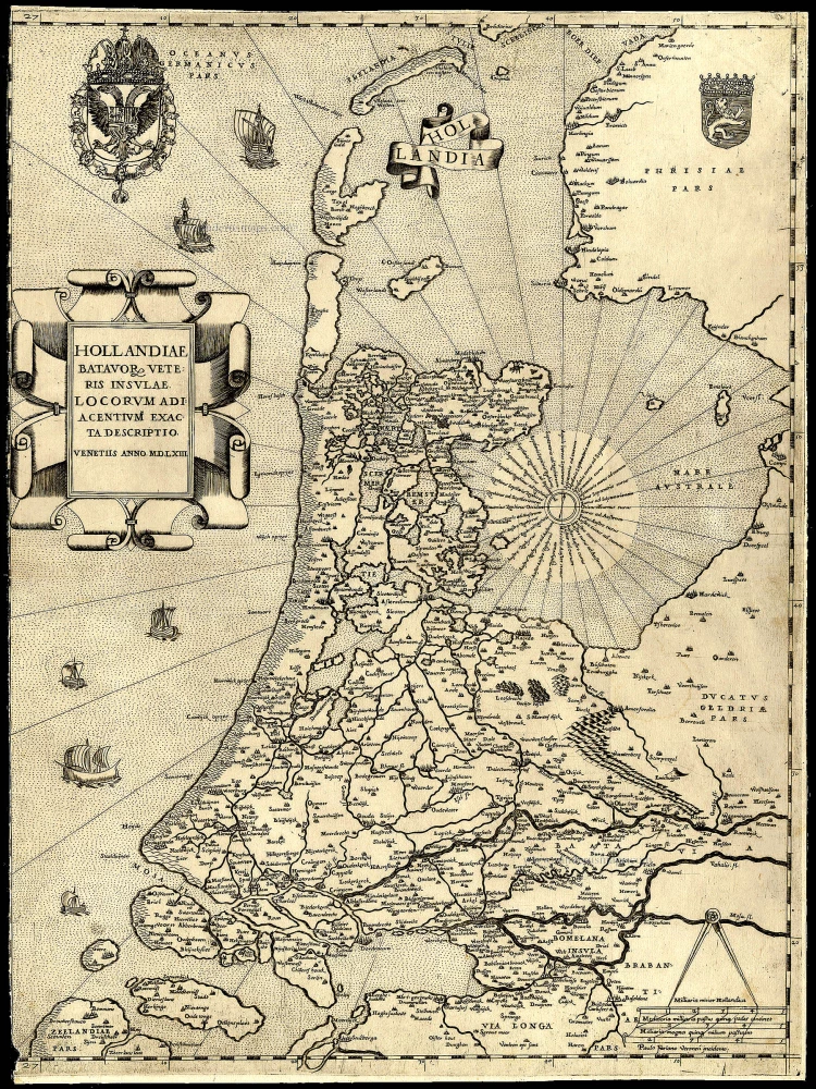
Hollandiae Batavor Veteris Insulae Locorum Adiacentium Exacta Descriptio. 1563
Holland, by Camocio G.F. - Forlani P.
[Item number: 9232]
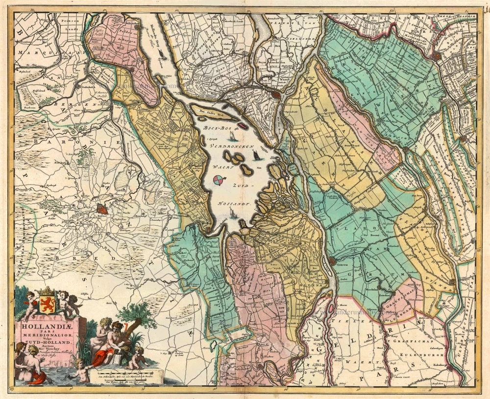
Hollandiae pars Meridionalis, vulgo Zuyd-Holland 1683-1696
Holland (South), by N. Visscher.
[Item number: 10962]
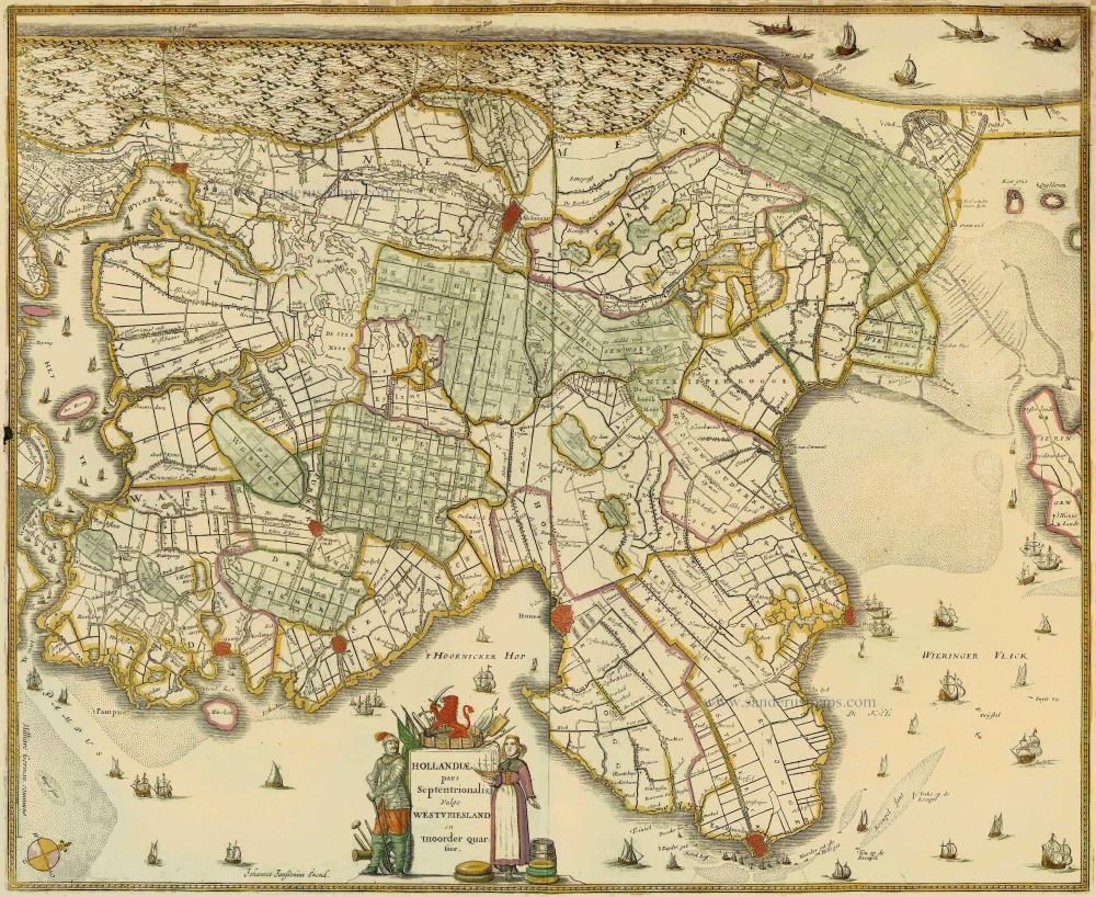
Hollandiae pars Septentrionalis, vulgo Westvriesland en 'tnoorder Quartier 1652-53
Holland (North) by Janssonius J. - Hondius H.
[Item number: 13205]
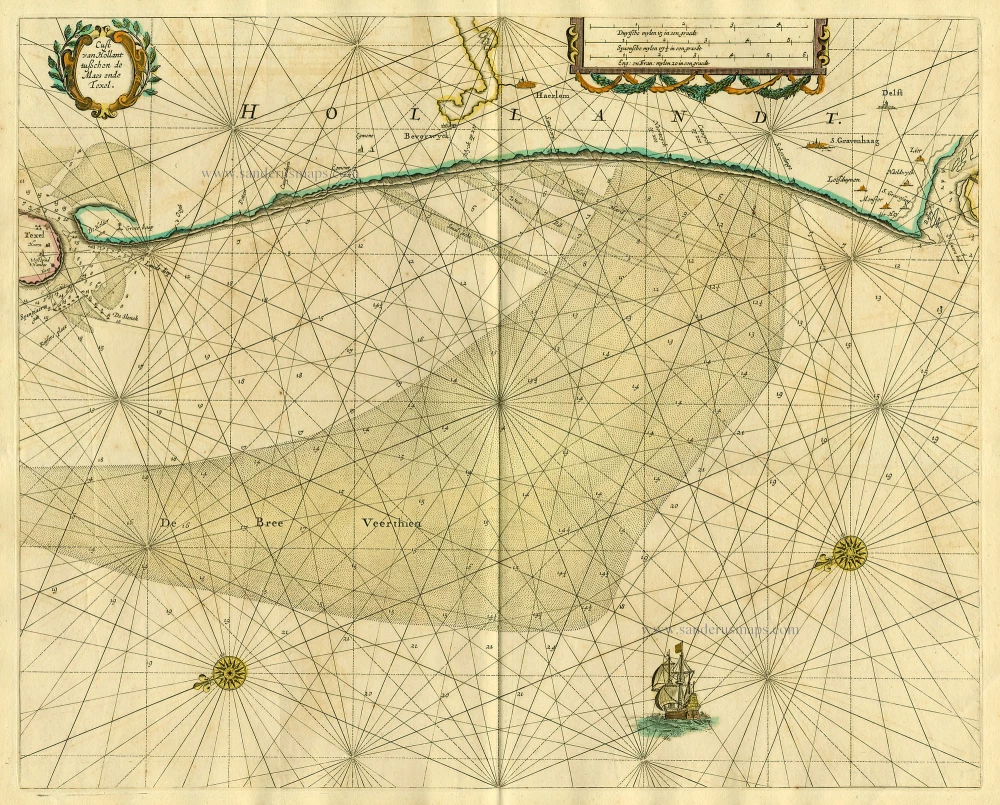
Cust van Hollant tusschen de Maes ende Texel 1667
Sea chart of Holland, by Pieter Goos.
[Item number: 19040]
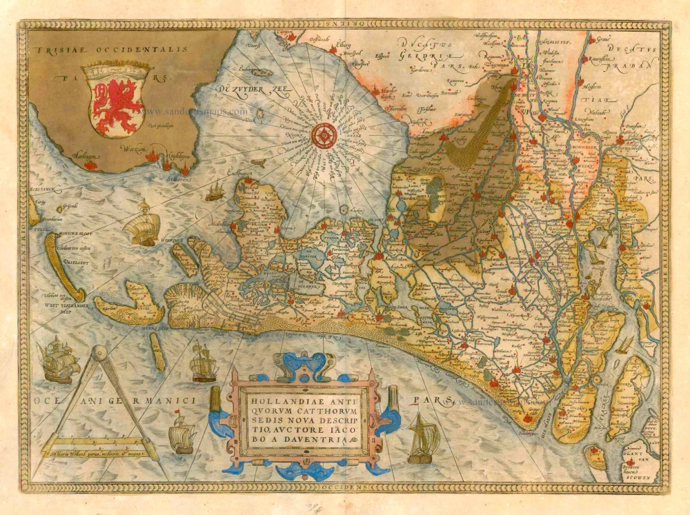
Hollandiae Antiquorum Catthorum Sedis Nova Descriptio. 1579
Holland by Ortelius A
[Item number: 22594]
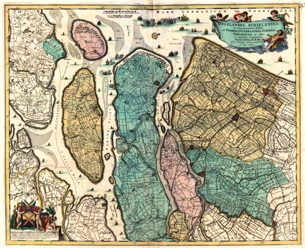
Delflandia, Schielandia et circumjacentes Insulae ... 1680-1710
Holland, by N. Visscher
[Item number: 24417]
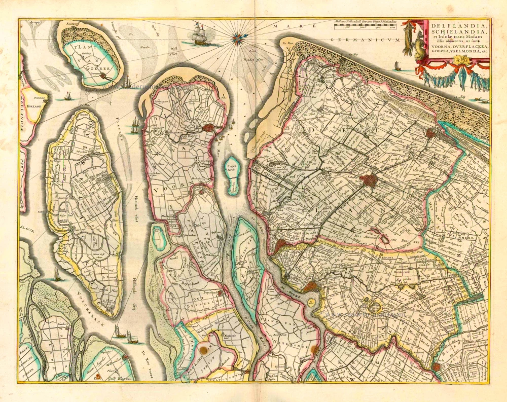
Delflandia, Schielandia et Insulae trans Mosam et Insulae trans Mosam illis objacentes ut sunt Voorna, Overflackea, Goerea, Yselmonda, etc. 1635
Holland (Southwest), by Willem Blaeu.
[Item number: 25352]
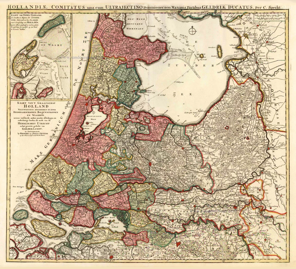
Kaart van 't Graafschap Holland Naauwkeurig Afgedeelt in zyne Heemraadschappen, Baljuwschappen en Waarden, 1730-45
Holland by C. Specht, published by R. & J. Ottens.
[Item number: 25706]
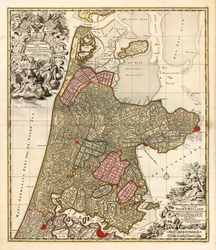
Kennemaria et Westfrisia vulgo et vernaculé Noord-Holland. c. 1700
Noord Holland by Nicolaas Visscher I, published by Petrus Schenk.
[Item number: 25707]
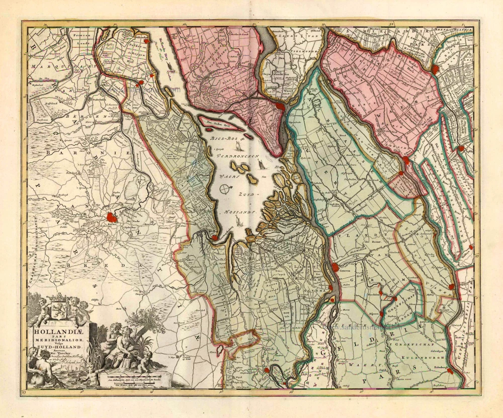
Hollandiae Pars Meridionalior, Vulgo Zuyd-Holland. c. 1740
Southern Holland by Nicolaas Visscher II, published by Petrus Schenk.
[Item number: 25721]
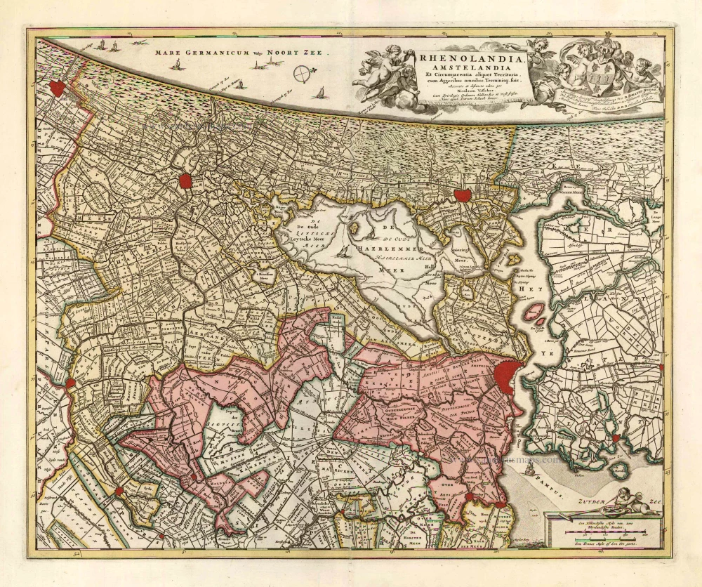
Rhenolandia, Amstelandia et Circumjacentia aliquot Territoria, cum Aggeribus omnibus, Terminiqz fuis. c. 1740
Central Holland by Nicolaas Visscher II, published by Petrus Schenk.
[Item number: 25722]
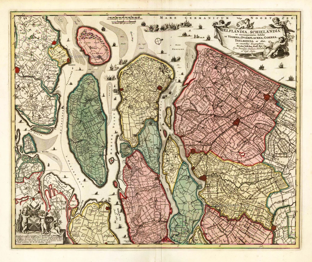
Delflandia, Schielandia et circumjacentes Insulae et circumjacentes Insulae ut Voorna, Overflackea, Goerea, Yselmonda et aliae, 1683-1696
Southwest Holland by Nicolaas Visscher II.
[Item number: 25729]
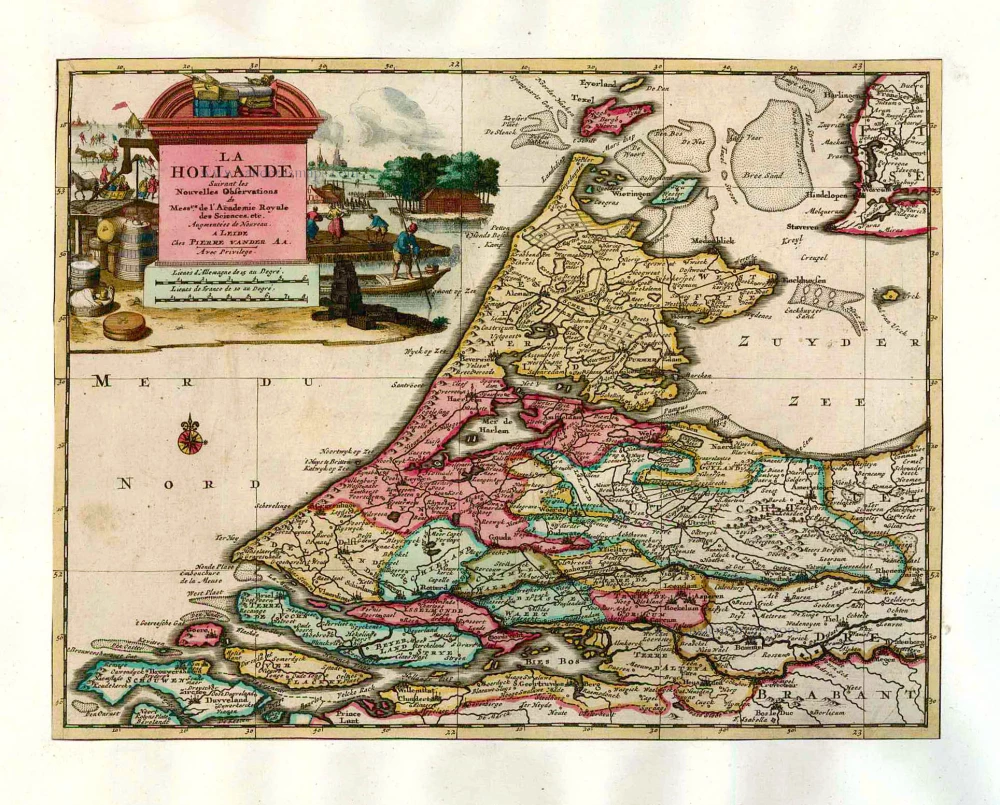
La Hollande. 1713
Holland by Pieter Van der Aa.
[Item number: 26059]
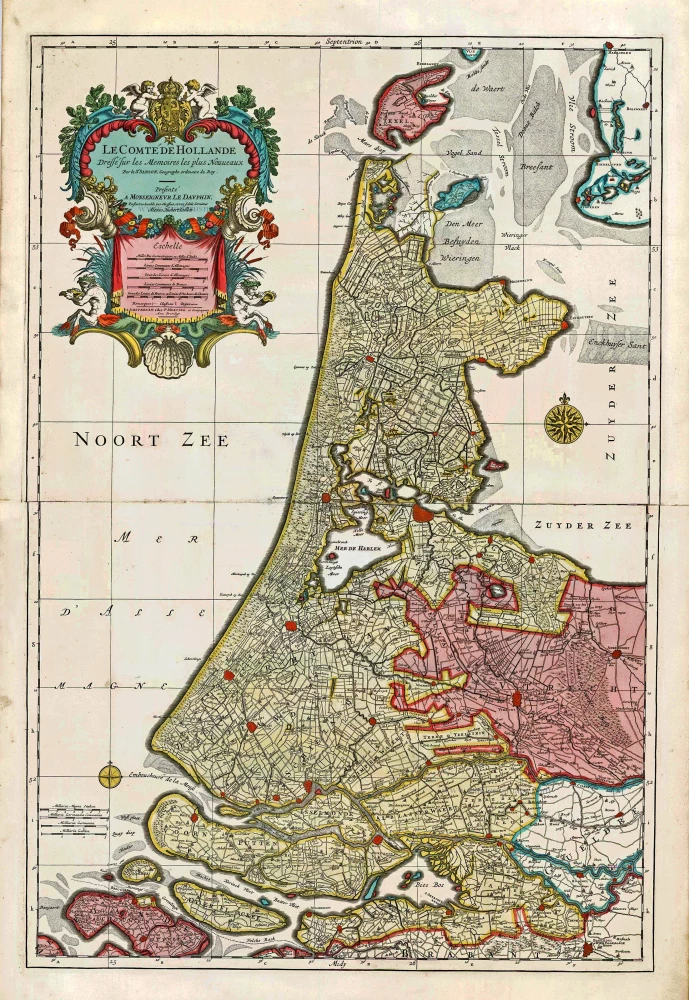
Big and spectacular map
Le Comté de Hollande. c. 1705
Holland, by Pieter Mortier.
[Item number: 27807]