
Sneek, Doccum, Sloten, IJlst, by Braun & Hogenberg. 1599


SNEEK
CARTOUCHE: Sneecha, commonly known as Sneek. A town in West Frisia.
COMMENTARY BY BRAUN (on verso): "The town itself is protected by its natural position rather than by walls: and it is still young, like almost all others in this area, for it has a municipal charter and privileges for less than 200 years."
This is a bird's-eye view from the south of the town, surrounded by a wall and a moat. Very prominent on the left is the late Gothic Grote Kerk or Martinikerk. To the north of this, less clearly identifiable, is the town hall (Stadhuis), which is integrated into a row of houses. The only part of the city wall that has been preserved is the gate at the southwest outlet, known as the Waterpoort, which today is the town's landmark. Sneek probably developed from a settlement on a mound around the Martinikerk. It was first surrounded by a defence wall in 1300 and was granted a municipal charter in 1456. It was made into a fortress in the second quarter of the 16th century.
DOKKUM
COMMENTARY BY BRAUN (on verso): "Dokkum, known to many in Latin Doccerum, lies in the County of Oostergo, two miles north of Leeuwarden [...]. It was occupied by the Gueldrians during the Guelders War and was well fortified by a wall and moats of the type common at that time. But the imperial troops destroyed the wall when they were defeated and driven out. The town remained unfortified until 1581 when the united cities of the Netherlands built new fortifications."
This is a bird's-eye view from the city's south, surrounded by a moat. The Gothic Martinikerk stands out clearly. Dokkum is first recorded in connection with the murder of St Boniface in AD 754, which therefore is considered the year of its founding. It was granted a municipal charter in 1298. A wall was built around the town in 1581/82 because of its strategic importance. From the 18th century onwards, it increasingly lost its character as a coastal town due to land reclamation measures. Dokkum is the northernmost town in the Netherlands.
SLOTEN
COMMENTARY BY BRAUN (on verso): "The little town of Sloten belongs to Sevenwouden and lies to the south in a low, marshy place, hardly a quarter of a mile from the coast, and two miles from Sneek. [...] It is subject to the parish churches of two neighbouring villages, which may surprise some people for it has its own municipal charter, is ruled by its own authorities and in earlier times was well defended by nature and man-made fortifications."
This is a bird's-eye view from the south of the smallest Frisian towns, surrounded by a moat. Its founding can be traced back to the 13th century, and in 1426 it is recorded as a city. In 1523, during the Guelders War, it was the last Frisian stronghold to fall into the hands of the imperial troops; its fortifications were completely rebuilt in 1581/82.
IJLST
COMMENTARY BY BRAUN (on verso): "IJlst, called Ilostum by some, and Iliacum in several old manuscripts, and situated only half an hour on foot from Sneek, is a long, narrow town stretching from north to south, and has only two streets with fairly deep water between them. It has nothing of special note other than its age, which is said to surpass that of Sneek and several other Frisian towns.
This is a bird's-eye view from the south of the little town. The church stands out clearly, as does a mill at the city's north end. IJlst is about 3 km southwest of Sneek and is the second smallest of the Frisian towns. (Taschen)
Braun G. & Hogenberg F. and the Civitates Orbis Terrarum.
The Civitates Orbis Terrarum, also known as the 'Braun & Hogenberg', is a six-volume town atlas and the most excellent book of town views and plans ever published: 363 engravings, sometimes beautifully coloured. It was one of the best-selling works in the last quarter of the 16th century. Georg Braun, a skilled writer, wrote the text accompanying the plans and views on the verso. Many plates were engraved after the original drawings of a professional artist, Joris Hoefnagel (1542-1600). The first volume was published in Latin in 1572 and the sixth in 1617. Frans Hogenberg, a talented engraver, created the tables for volumes I through IV, and Simon van den Neuwel made those for volumes V and VI. Other contributors were cartographers Daniel Freese and Heinrich Rantzau, who provided valuable geographical information. Works by Jacob van Deventer, Sebastian Münster, and Johannes Stumpf were also used as references. Translations appeared in German and French, making the atlas accessible to a broader audience.
Since its original publication of volume 1 in 1572, the Civitates Orbis Terrarum has left an indelible mark on the history of cartography. Seven more editions followed the first volume in 1575, 1577, 1582, 1588, 1593, 1599, and 1612. Vol.2, initially released in 1575, saw subsequent editions in 1597 and 1612. The subsequent volumes, each a treasure trove of historical insights, graced the world in 1581, 1588, 1593, 1599, and 1606. The German translation of the first volume, a testament to its widespread appeal, debuted in 1574, followed by the French edition in 1575.
Several printers were involved: Theodor Graminaeus, Heinrich von Aich, Gottfried von Kempen, Johannis Sinniger, Bertram Buchholtz, and Peter von Brachel, all of whom worked in Cologne.
Georg Braun (1541-1622)
Georg Braun, the author of the text accompanying the plans and views in the Civitates Orbis Terrarum, was born in Cologne in 1541. After his studies in Cologne, he entered the Jesuit Order as a novice, indicating his commitment to learning and intellectual pursuits. In 1561, he obtained his bachelor's degree; in 1562, he received his Magister Artium, further demonstrating his academic achievements. Although he left the Jesuit Order, he continued his studies in theology, gaining a licentiate in theology. His theological background likely influenced the content and tone of the text in the Civitates Orbis Terrarum, adding a unique perspective to the work.
Frans Hogenberg (1535-1590)
Frans Hogenberg was a Flemish and German painter, engraver, and mapmaker. He was born in Mechelen as the son of Nicolaas Hogenberg.
By the end of the 1560s, Frans Hogenberg was employed upon Abraham Ortelius's Theatrum Orbis Terrarum, published in 1570; he is named an engraver of numerous maps. In 1568, he was banned from Antwerp by the Duke of Alva and travelled to London, where he stayed a few years before emigrating to Cologne. He immediately embarked on his two most important works, the Civitates, published in 1572 and the Geschichtsblätter, which appeared in several series from 1569 until about 1587.
Thanks to large-scale projects like the Geschichtsblätter and the Civitates, Hogenberg's social circumstances improved with each passing year. He died as a wealthy man in Cologne in 1590.
Sneecha, vulgo Sneeck ... [on sheet with] Doccum [and] Sloten [and] Ylsta.
Item Number: 22263 Authenticity Guarantee
Category: Antique maps > Europe > The Netherlands - Cities
Antique map with four bird's-eye view plans by Braun and Hogenberg: Sneek, Doccum, Sloten, IJlst.
Title: Sneecha, vulgo Sneeck ... [on sheet with] Doccum [and] Sloten [and] Ylsta.
Cartographer: Jacob van Deventer.
Date of the first edition: 1588.
Date of this map: 1599.
Copper engraving, printed on paper.
Size (not including margins): 350 x 415mm (13.78 x 16.34 inches).
Verso: Latin text.
Condition: Original coloured, excellent.
Condition Rating: A+.
From: Liber quartus Urbium Praecipuarum totius Mundi. Cologne, Bertram Buchholtz, 1599. (Van der Krogt 4, 41:1.4(1599))
SNEEK
CARTOUCHE: Sneecha, commonly known as Sneek. A town in West Frisia.
COMMENTARY BY BRAUN (on verso): "The town itself is protected by its natural position rather than by walls: and it is still young, like almost all others in this area, for it has a municipal charter and privileges for less than 200 years."
This is a bird's-eye view from the south of the town, surrounded by a wall and a moat. Very prominent on the left is the late Gothic Grote Kerk or Martinikerk. To the north of this, less clearly identifiable, is the town hall (Stadhuis), which is integrated into a row of houses. The only part of the city wall that has been preserved is the gate at the southwest outlet, known as the Waterpoort, which today is the town's landmark. Sneek probably developed from a settlement on a mound around the Martinikerk. It was first surrounded by a defence wall in 1300 and was granted a municipal charter in 1456. It was made into a fortress in the second quarter of the 16th century.
DOKKUM
COMMENTARY BY BRAUN (on verso): "Dokkum, known to many in Latin Doccerum, lies in the County of Oostergo, two miles north of Leeuwarden [...]. It was occupied by the Gueldrians during the Guelders War and was well fortified by a wall and moats of the type common at that time. But the imperial troops destroyed the wall when they were defeated and driven out. The town remained unfortified until 1581 when the united cities of the Netherlands built new fortifications."
This is a bird's-eye view from the city's south, surrounded by a moat. The Gothic Martinikerk stands out clearly. Dokkum is first recorded in connection with the murder of St Boniface in AD 754, which therefore is considered the year of its founding. It was granted a municipal charter in 1298. A wall was built around the town in 1581/82 because of its strategic importance. From the 18th century onwards, it increasingly lost its character as a coastal town due to land reclamation measures. Dokkum is the northernmost town in the Netherlands.
SLOTEN
COMMENTARY BY BRAUN (on verso): "The little town of Sloten belongs to Sevenwouden and lies to the south in a low, marshy place, hardly a quarter of a mile from the coast, and two miles from Sneek. [...] It is subject to the parish churches of two neighbouring villages, which may surprise some people for it has its own municipal charter, is ruled by its own authorities and in earlier times was well defended by nature and man-made fortifications."
This is a bird's-eye view from the south of the smallest Frisian towns, surrounded by a moat. Its founding can be traced back to the 13th century, and in 1426 it is recorded as a city. In 1523, during the Guelders War, it was the last Frisian stronghold to fall into the hands of the imperial troops; its fortifications were completely rebuilt in 1581/82.
IJLST
COMMENTARY BY BRAUN (on verso): "IJlst, called Ilostum by some, and Iliacum in several old manuscripts, and situated only half an hour on foot from Sneek, is a long, narrow town stretching from north to south, and has only two streets with fairly deep water between them. It has nothing of special note other than its age, which is said to surpass that of Sneek and several other Frisian towns.
This is a bird's-eye view from the south of the little town. The church stands out clearly, as does a mill at the city's north end. IJlst is about 3 km southwest of Sneek and is the second smallest of the Frisian towns. (Taschen)
Braun G. & Hogenberg F. and the Civitates Orbis Terrarum.
The Civitates Orbis Terrarum, also known as the 'Braun & Hogenberg', is a six-volume town atlas and the most excellent book of town views and plans ever published: 363 engravings, sometimes beautifully coloured. It was one of the best-selling works in the last quarter of the 16th century. Georg Braun, a skilled writer, wrote the text accompanying the plans and views on the verso. Many plates were engraved after the original drawings of a professional artist, Joris Hoefnagel (1542-1600). The first volume was published in Latin in 1572 and the sixth in 1617. Frans Hogenberg, a talented engraver, created the tables for volumes I through IV, and Simon van den Neuwel made those for volumes V and VI. Other contributors were cartographers Daniel Freese and Heinrich Rantzau, who provided valuable geographical information. Works by Jacob van Deventer, Sebastian Münster, and Johannes Stumpf were also used as references. Translations appeared in German and French, making the atlas accessible to a broader audience.
Since its original publication of volume 1 in 1572, the Civitates Orbis Terrarum has left an indelible mark on the history of cartography. Seven more editions followed the first volume in 1575, 1577, 1582, 1588, 1593, 1599, and 1612. Vol.2, initially released in 1575, saw subsequent editions in 1597 and 1612. The subsequent volumes, each a treasure trove of historical insights, graced the world in 1581, 1588, 1593, 1599, and 1606. The German translation of the first volume, a testament to its widespread appeal, debuted in 1574, followed by the French edition in 1575.
Several printers were involved: Theodor Graminaeus, Heinrich von Aich, Gottfried von Kempen, Johannis Sinniger, Bertram Buchholtz, and Peter von Brachel, all of whom worked in Cologne.
Georg Braun (1541-1622)
Georg Braun, the author of the text accompanying the plans and views in the Civitates Orbis Terrarum, was born in Cologne in 1541. After his studies in Cologne, he entered the Jesuit Order as a novice, indicating his commitment to learning and intellectual pursuits. In 1561, he obtained his bachelor's degree; in 1562, he received his Magister Artium, further demonstrating his academic achievements. Although he left the Jesuit Order, he continued his studies in theology, gaining a licentiate in theology. His theological background likely influenced the content and tone of the text in the Civitates Orbis Terrarum, adding a unique perspective to the work.
Frans Hogenberg (1535-1590)
Frans Hogenberg was a Flemish and German painter, engraver, and mapmaker. He was born in Mechelen as the son of Nicolaas Hogenberg.
By the end of the 1560s, Frans Hogenberg was employed upon Abraham Ortelius's Theatrum Orbis Terrarum, published in 1570; he is named an engraver of numerous maps. In 1568, he was banned from Antwerp by the Duke of Alva and travelled to London, where he stayed a few years before emigrating to Cologne. He immediately embarked on his two most important works, the Civitates, published in 1572 and the Geschichtsblätter, which appeared in several series from 1569 until about 1587.
Thanks to large-scale projects like the Geschichtsblätter and the Civitates, Hogenberg's social circumstances improved with each passing year. He died as a wealthy man in Cologne in 1590.
Related items

Nymmegen - Noviomagium sive Nouiomagum vulgo Nijmmegen inclyta quoda Francorum Regia Urbs Gelriae primaria. 1582
Nijmegen, by Braun & Hogenberg.
[Item number: 14229]
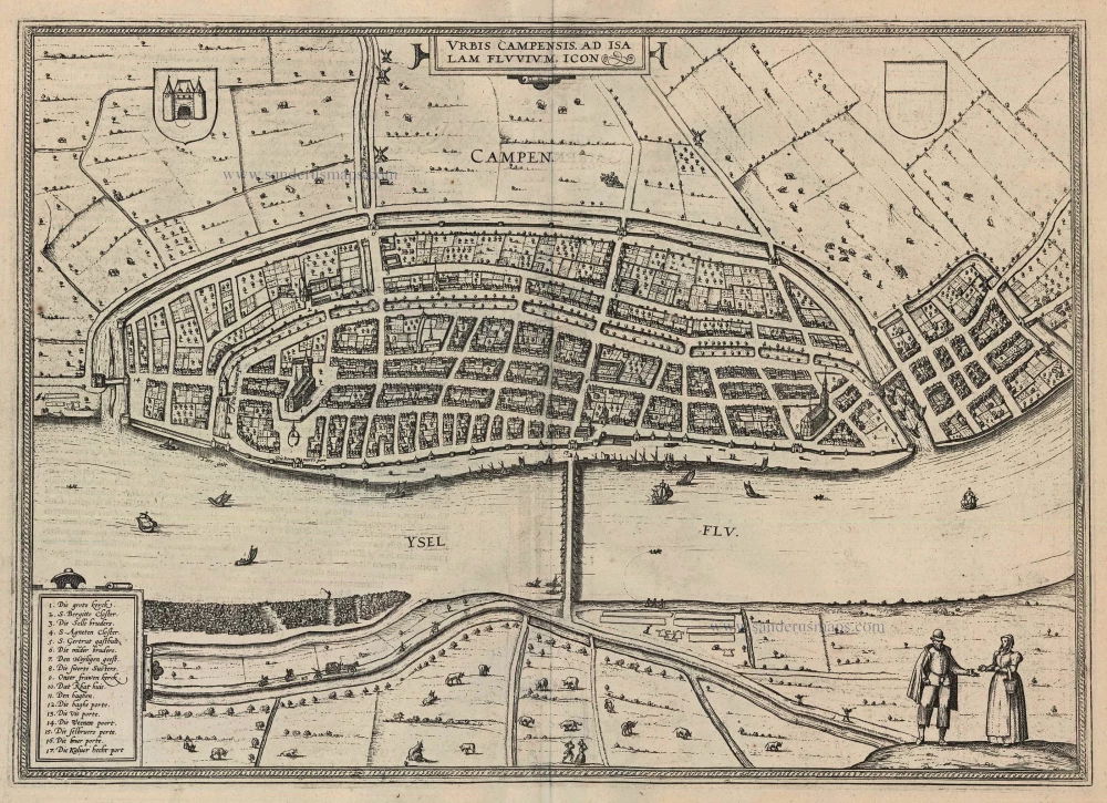
Urbis Campensis ad Isalam Fluvium Icon. 1599
Kampen by Braun and Hogenberg.
[Item number: 24049]