
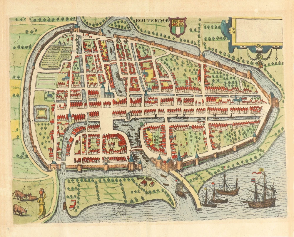
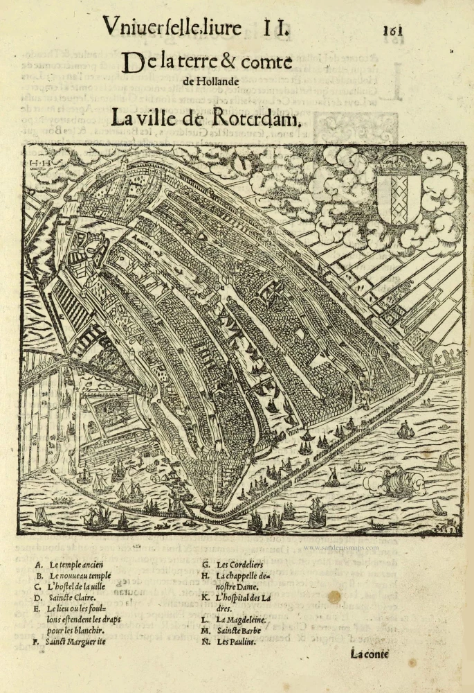
Rotterdam, by Georg Braun and Frans Hogenberg. 1588-97

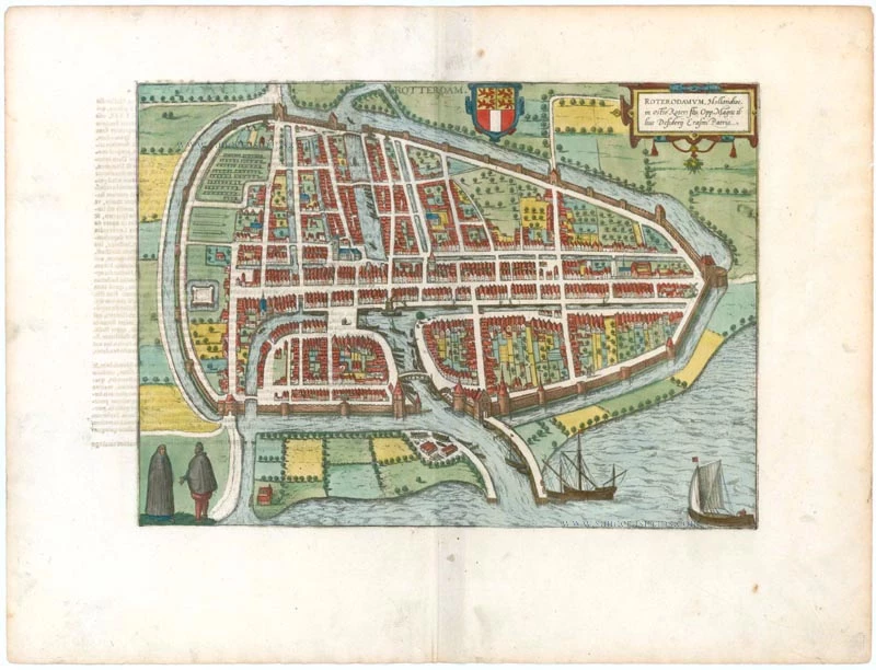
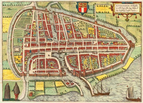

TRANSLATION OF CARTOUCHE TEXT: Rotterdam, at the mouth of the River Roter, is the home town of the great Desiderius Erasmus.
COMMENTARY BY BRAUN: "Rotterdam is a city in northern Holland known far and wide because of the glorious Erasmus of Rotterdam. In Dutch, it is called Rotterdam, like many other cities in this country with names ending in -dam, such as Amsterdam, Sparendam, Munichendam, Edam, Schiedam etc., because they were all built on a dam. Its citizens are wealthy, have a renowned herring fishing industry and conduct trade with foreign countries. For many years they have been inclined towards religious reform and today still adhere to the teaching of Calvin."
This is a bird's-eye view from the city's west, surrounded by a wall erected in 1359. The view is dominated by canals, the mouth of the new Meuse and the tributaries of the Meuse, including the River Rotte, from which the city gets its name. The late Gothic Sint Laurenskerk stands out clearly, and the ocean-going ships reference the city's role as a trading port. After growing up as a fishing village in the early 13th century, Rotterdam was granted a municipal charter in 1340. Canals to the Schie linked the city with Delft, the most important trade centre at that time, from whose wealth it could profit. From 1586 onwards, high numbers of refugees from the Spanish Netherlands settled in the city. The most important commercial activities were tapestry and cloth production; at that time, the port ranked far behind Amsterdam. (Taschen)
Braun G. & Hogenberg F. and the Civitates Orbis Terrarum.
The Civitates Orbis Terrarum, also known as the 'Braun & Hogenberg', is a six-volume town atlas and the most excellent book of town views and plans ever published: 363 engravings, sometimes beautifully coloured. It was one of the best-selling works in the last quarter of the 16th century. Georg Braun, a skilled writer, wrote the text accompanying the plans and views on the verso. Many plates were engraved after the original drawings of a professional artist, Joris Hoefnagel (1542-1600). The first volume was published in Latin in 1572 and the sixth in 1617. Frans Hogenberg, a talented engraver, created the tables for volumes I through IV, and Simon van den Neuwel made those for volumes V and VI. Other contributors were cartographers Daniel Freese and Heinrich Rantzau, who provided valuable geographical information. Works by Jacob van Deventer, Sebastian Münster, and Johannes Stumpf were also used as references. Translations appeared in German and French, making the atlas accessible to a broader audience.
Since its original publication of volume 1 in 1572, the Civitates Orbis Terrarum has left an indelible mark on the history of cartography. Seven more editions followed the first volume in 1575, 1577, 1582, 1588, 1593, 1599, and 1612. Vol.2, initially released in 1575, saw subsequent editions in 1597 and 1612. The subsequent volumes, each a treasure trove of historical insights, graced the world in 1581, 1588, 1593, 1599, and 1606. The German translation of the first volume, a testament to its widespread appeal, debuted in 1574, followed by the French edition in 1575.
Several printers were involved: Theodor Graminaeus, Heinrich von Aich, Gottfried von Kempen, Johannis Sinniger, Bertram Buchholtz, and Peter von Brachel, all of whom worked in Cologne.
Georg Braun (1541-1622)
Georg Braun, the author of the text accompanying the plans and views in the Civitates Orbis Terrarum, was born in Cologne in 1541. After his studies in Cologne, he entered the Jesuit Order as a novice, indicating his commitment to learning and intellectual pursuits. In 1561, he obtained his bachelor's degree; in 1562, he received his Magister Artium, further demonstrating his academic achievements. Although he left the Jesuit Order, he continued his studies in theology, gaining a licentiate in theology. His theological background likely influenced the content and tone of the text in the Civitates Orbis Terrarum, adding a unique perspective to the work.
Frans Hogenberg (1535-1590)
Frans Hogenberg was a Flemish and German painter, engraver, and mapmaker. He was born in Mechelen as the son of Nicolaas Hogenberg.
By the end of the 1560s, Frans Hogenberg was employed upon Abraham Ortelius's Theatrum Orbis Terrarum, published in 1570; he is named an engraver of numerous maps. In 1568, he was banned from Antwerp by the Duke of Alva and travelled to London, where he stayed a few years before emigrating to Cologne. He immediately embarked on his two most important works, the Civitates, published in 1572 and the Geschichtsblätter, which appeared in several series from 1569 until about 1587.
Thanks to large-scale projects like the Geschichtsblätter and the Civitates, Hogenberg's social circumstances improved with each passing year. He died as a wealthy man in Cologne in 1590.
Roterodamum.
Item Number: 22257 Authenticity Guarantee
Category: Antique maps > Europe > The Netherlands - Cities
Old, antique bird’s-eye view plan of Rotterdam, by Georg Braun and Frans Hogenberg.
Title: Roterodamum.
Cartographer: Jacob van Deventer.
Date: 1588-97.
Copper engraving, printed on paper.
Size (not including margins): 285 x 400mm (11.22 x 15.75 inches).
Verso: Latin text.
Condition: Original coloured, excellent.
Condition Rating: A+.
From: Liber quartus Urbium Praecipuarum totius Mundi. Cologne, 1588-97. (Koeman, B&H4, Van der Krogt 4, 41:1.4)
TRANSLATION OF CARTOUCHE TEXT: Rotterdam, at the mouth of the River Roter, is the home town of the great Desiderius Erasmus.
COMMENTARY BY BRAUN: "Rotterdam is a city in northern Holland known far and wide because of the glorious Erasmus of Rotterdam. In Dutch, it is called Rotterdam, like many other cities in this country with names ending in -dam, such as Amsterdam, Sparendam, Munichendam, Edam, Schiedam etc., because they were all built on a dam. Its citizens are wealthy, have a renowned herring fishing industry and conduct trade with foreign countries. For many years they have been inclined towards religious reform and today still adhere to the teaching of Calvin."
This is a bird's-eye view from the city's west, surrounded by a wall erected in 1359. The view is dominated by canals, the mouth of the new Meuse and the tributaries of the Meuse, including the River Rotte, from which the city gets its name. The late Gothic Sint Laurenskerk stands out clearly, and the ocean-going ships reference the city's role as a trading port. After growing up as a fishing village in the early 13th century, Rotterdam was granted a municipal charter in 1340. Canals to the Schie linked the city with Delft, the most important trade centre at that time, from whose wealth it could profit. From 1586 onwards, high numbers of refugees from the Spanish Netherlands settled in the city. The most important commercial activities were tapestry and cloth production; at that time, the port ranked far behind Amsterdam. (Taschen)
Braun G. & Hogenberg F. and the Civitates Orbis Terrarum.
The Civitates Orbis Terrarum, also known as the 'Braun & Hogenberg', is a six-volume town atlas and the most excellent book of town views and plans ever published: 363 engravings, sometimes beautifully coloured. It was one of the best-selling works in the last quarter of the 16th century. Georg Braun, a skilled writer, wrote the text accompanying the plans and views on the verso. Many plates were engraved after the original drawings of a professional artist, Joris Hoefnagel (1542-1600). The first volume was published in Latin in 1572 and the sixth in 1617. Frans Hogenberg, a talented engraver, created the tables for volumes I through IV, and Simon van den Neuwel made those for volumes V and VI. Other contributors were cartographers Daniel Freese and Heinrich Rantzau, who provided valuable geographical information. Works by Jacob van Deventer, Sebastian Münster, and Johannes Stumpf were also used as references. Translations appeared in German and French, making the atlas accessible to a broader audience.
Since its original publication of volume 1 in 1572, the Civitates Orbis Terrarum has left an indelible mark on the history of cartography. Seven more editions followed the first volume in 1575, 1577, 1582, 1588, 1593, 1599, and 1612. Vol.2, initially released in 1575, saw subsequent editions in 1597 and 1612. The subsequent volumes, each a treasure trove of historical insights, graced the world in 1581, 1588, 1593, 1599, and 1606. The German translation of the first volume, a testament to its widespread appeal, debuted in 1574, followed by the French edition in 1575.
Several printers were involved: Theodor Graminaeus, Heinrich von Aich, Gottfried von Kempen, Johannis Sinniger, Bertram Buchholtz, and Peter von Brachel, all of whom worked in Cologne.
Georg Braun (1541-1622)
Georg Braun, the author of the text accompanying the plans and views in the Civitates Orbis Terrarum, was born in Cologne in 1541. After his studies in Cologne, he entered the Jesuit Order as a novice, indicating his commitment to learning and intellectual pursuits. In 1561, he obtained his bachelor's degree; in 1562, he received his Magister Artium, further demonstrating his academic achievements. Although he left the Jesuit Order, he continued his studies in theology, gaining a licentiate in theology. His theological background likely influenced the content and tone of the text in the Civitates Orbis Terrarum, adding a unique perspective to the work.
Frans Hogenberg (1535-1590)
Frans Hogenberg was a Flemish and German painter, engraver, and mapmaker. He was born in Mechelen as the son of Nicolaas Hogenberg.
By the end of the 1560s, Frans Hogenberg was employed upon Abraham Ortelius's Theatrum Orbis Terrarum, published in 1570; he is named an engraver of numerous maps. In 1568, he was banned from Antwerp by the Duke of Alva and travelled to London, where he stayed a few years before emigrating to Cologne. He immediately embarked on his two most important works, the Civitates, published in 1572 and the Geschichtsblätter, which appeared in several series from 1569 until about 1587.
Thanks to large-scale projects like the Geschichtsblätter and the Civitates, Hogenberg's social circumstances improved with each passing year. He died as a wealthy man in Cologne in 1590.
Related items
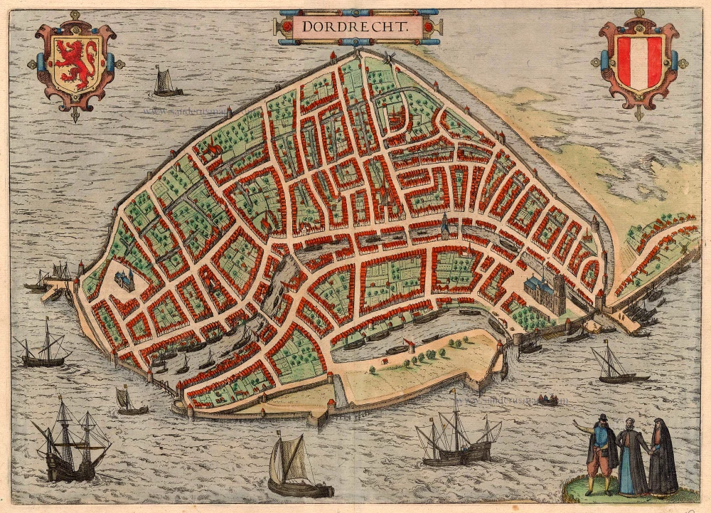
Dordrecht 1616
Dordrecht by Braun and Hogenberg
[Item number: 4158]
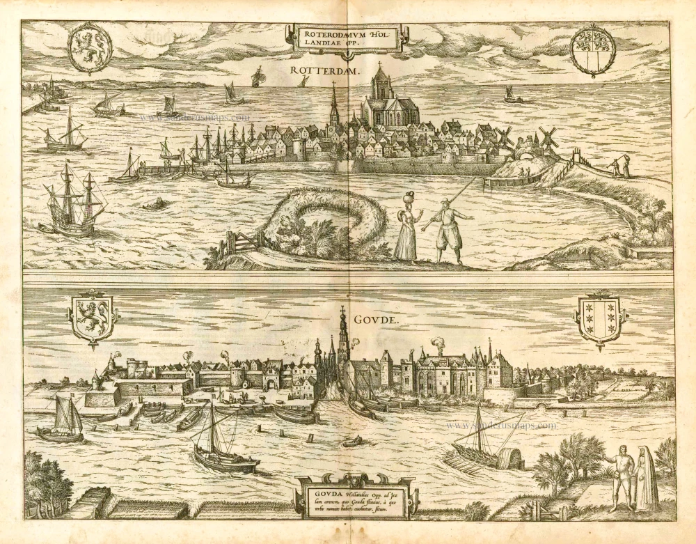
Roterodamum Hollandiae Opp. [on sheet whith:] Goude 1582
Rotterdam - Gouda, by Braun & Hogenberg.
[Item number: 14186]
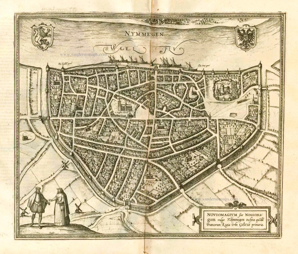
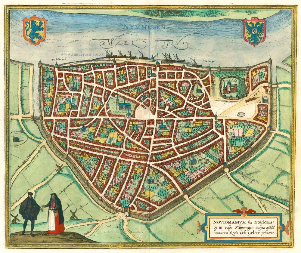
Nymmegen - Noviomagium sive Nouiomagum vulgo Nijmmegen inclyta quoda Francorum Regia Urbs Gelriae primaria. 1582
Nijmegen, by Braun & Hogenberg.
[Item number: 14229]
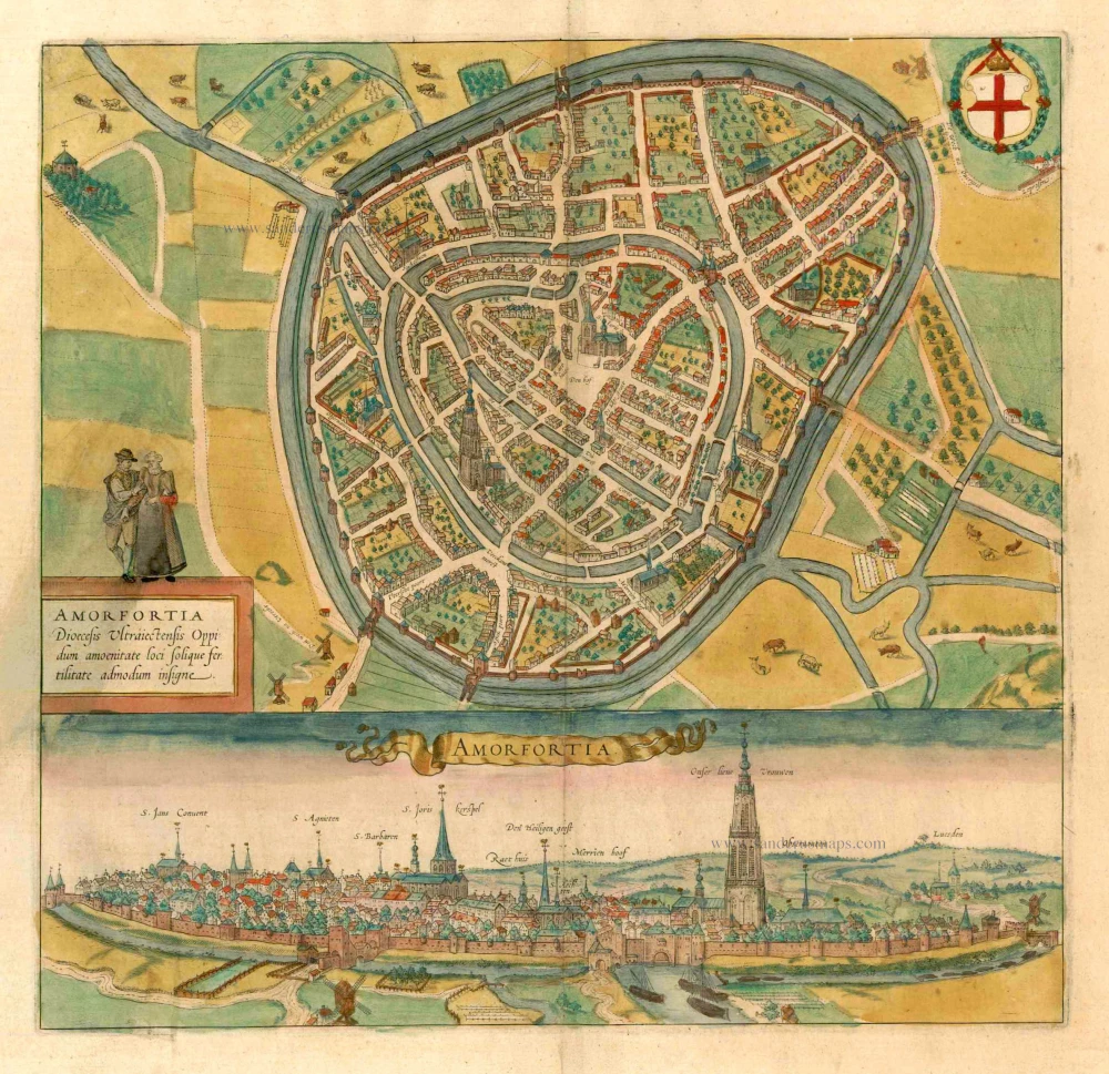
Amorfortia Diocesis Ultraiectensis Oppidum amoenitate loci solique fertilitate admodum insigne. c. 1593
Amersfoort by Braun Georg & Hogenberg Frans
[Item number: 15424]
Rotterdam. 1612
Rotterdam by Guicciardini Lodovico
[Item number: 18455]
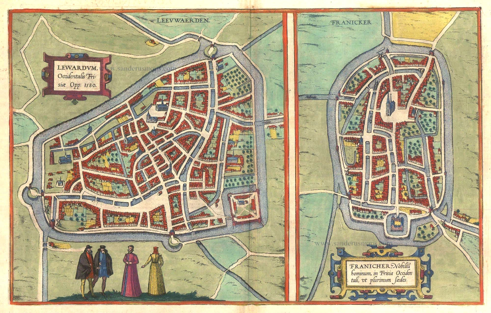
Lewardum. Occidentalis Frisiae Opp: 1580. [on sheet with:] Franicher, Nobiliu hominum, in Frisia Occidentali, ut plurimum saedes. 1581-88
Leeuwarden & Franeker by Braun & Hogenberg.
[Item number: 20439]
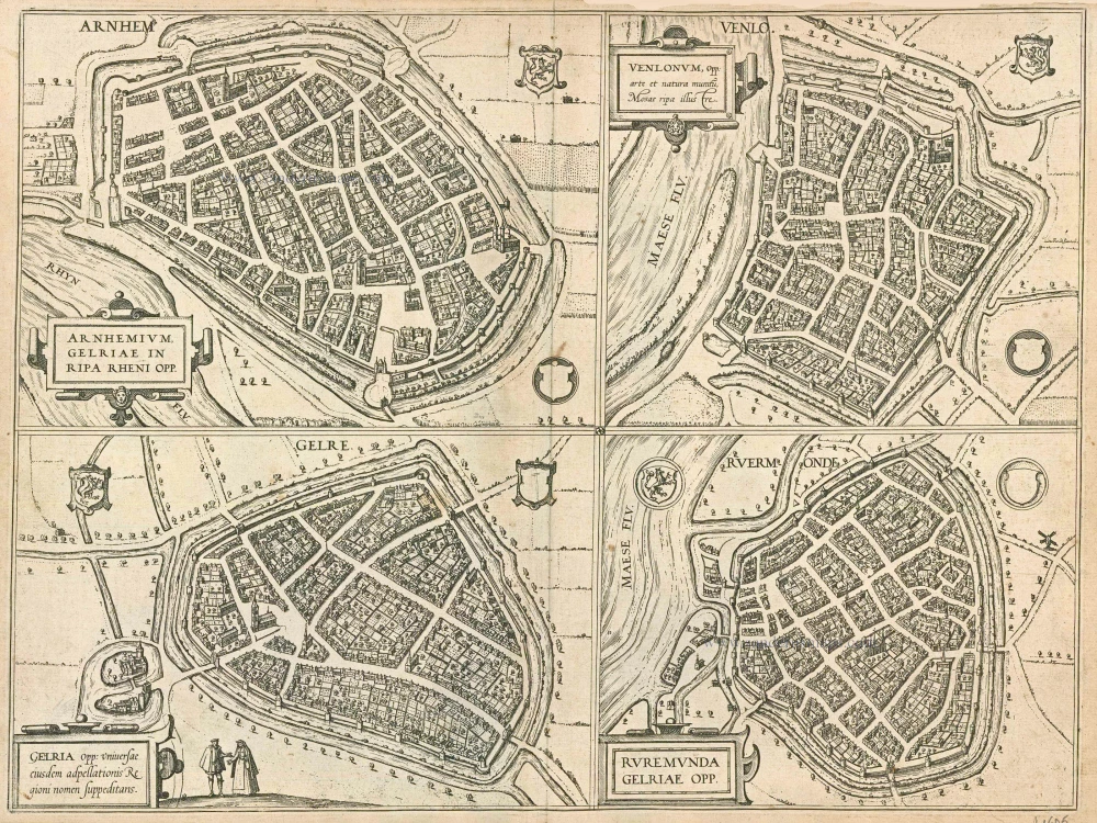
Arnhemium (on sheet with) Venlonum (and) Gelria (and) Ruremunda. 1581-88
Arnhem, Venlo, Gelre and Roermond, by Georg Braun and Frans Hogenberg.
[Item number: 21605]

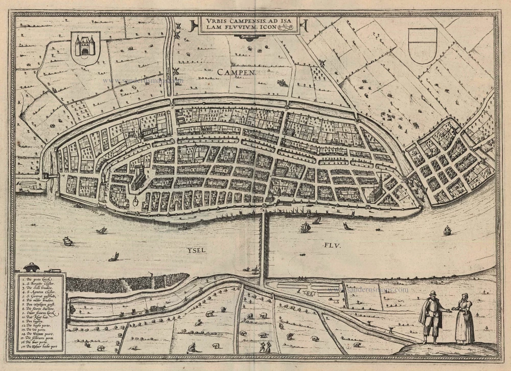
Urbis Campensis ad Isalam Fluvium Icon. 1581-88
Kampen, by Georg Braun and Frans Hogenberg.
[Item number: 22215]
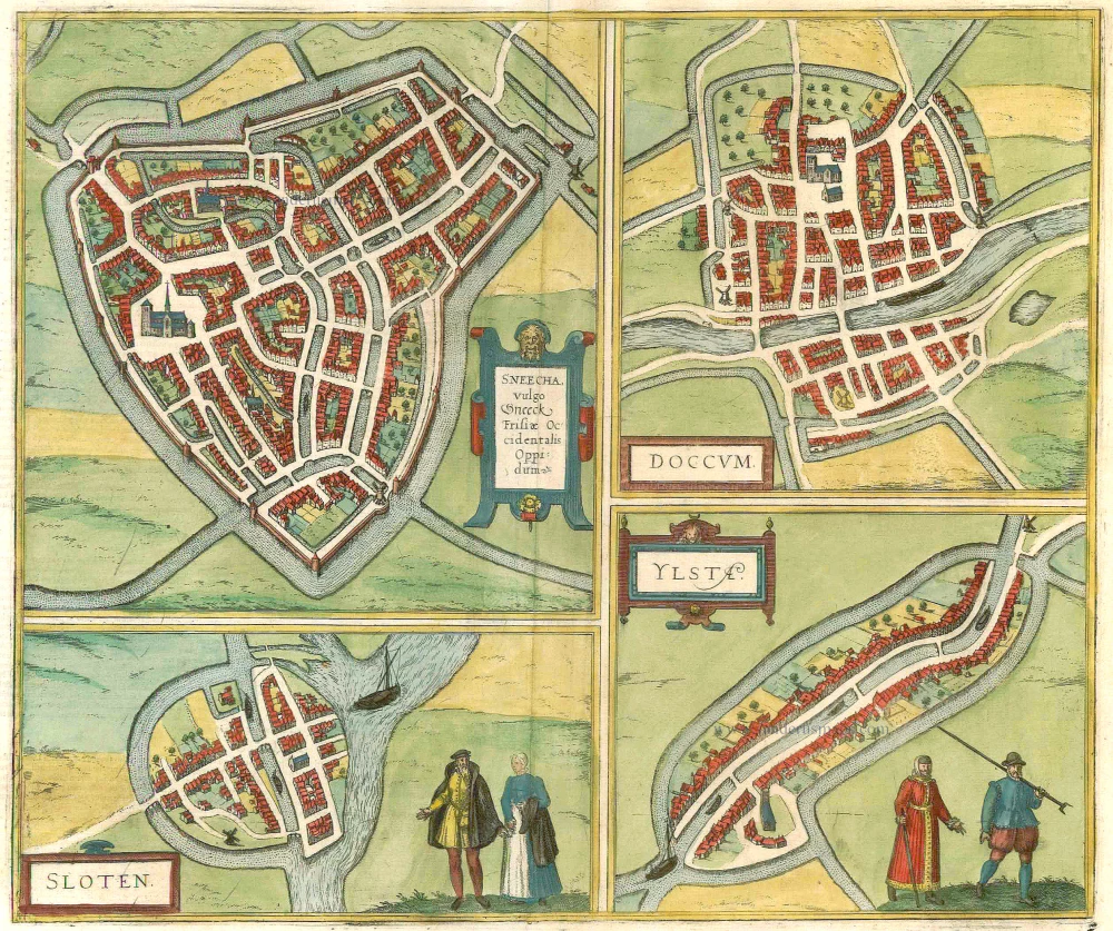
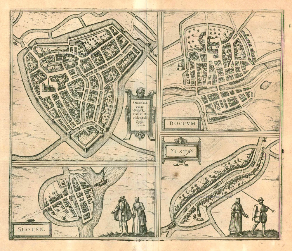
Sneecha, vulgo Sneeck ... [on sheet with] Doccum [and] Sloten [and] Ylsta. 1599
Sneek, Doccum, Sloten, IJlst, by Braun & Hogenberg.
[Item number: 22263]

Bergen op Zoom - Berga, ad Somam, Brabantiae Opp: a fluvi olo sic dicto, ... 1581-88
Bergen-op-Zoom, by Georg Braun and Frans Hogenberg.
[Item number: 23306]
Noviomagium. 1599
Nijmegen, by Georg Braun and Frans Hogenberg.
[Item number: 24033]
Urbis Campensis ad Isalam Fluvium Icon. 1599
Kampen by Braun and Hogenberg.
[Item number: 24049]
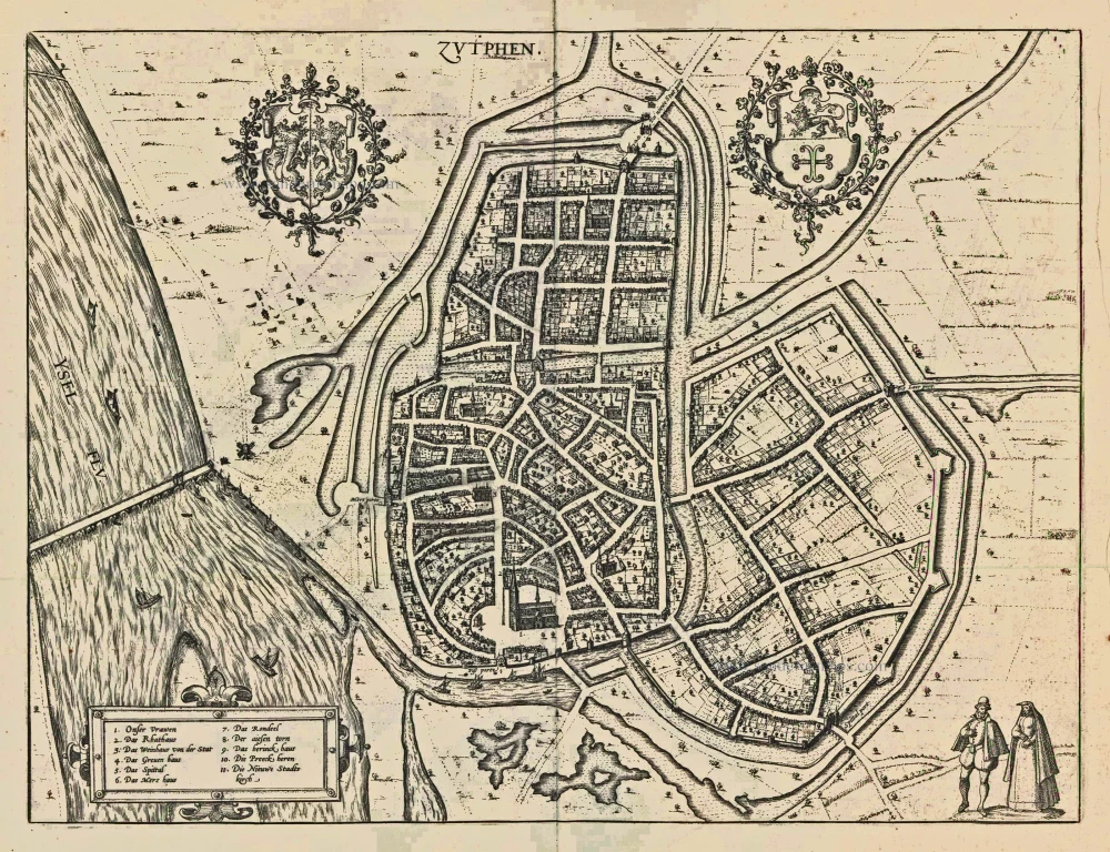
Zutphen. 1599
Zutphen by Braun and Hogenberg, after Jacob van Deventer.
[Item number: 24090]
Sneecha, vulgo Sneeck ... [on sheet with] Doccum [and] Sloten [and] Ylsta. 1599
Sneek, Doccum, Sloten, IJlst, by Georg Braun and Frans Hogenberg.
[Item number: 24092]
La Ville de Roterdam. [sic = Amsterdam] 1552
Amsterdam by Sebastian Münster.
[Item number: 28225]