
First edition
Stockholm, by Georg Braun and Frans Hogenberg. 1588


COMMENTARY BY BRAUN: "Stockholm, which is celebrated for its commerce, large fairs and royal residences, is, however, an elegant city and, by its natural situation, one of the most secure cities in the entire Kingdom of Sweden because it is situated on a strait, which, moreover, is very deep, so that it is navigable by even the largest ships. [...] In the foreground on the narrow neck of this strait is a castle, but on the opposite side the mouth of the strait has been so narrowed by pilings driven into the seabed with crossbeams set above them that those seeking to sail in or out can be easily overcome artillery."
The top engraving, showing the timber houses so typical of Scandinavia, is a view from the northeast across what was then the suburb of Norrmalm and is now the city centre, to the city located on islands, with the Baltic on the left and Lake Mälaren on the right. Stockholm started as an entrepôt between the lake and the inland waterways. The town was first mentioned in 1252 by the statesman Birger Jarl. A mighty keep with a fortified inner bailey was laid out in the late 13th century. Further, the complex is dominated by what is now the Cathedral of St Nicholas. In 1270, a Franciscan monastery (right) was founded in the western part of the city. Construction on the nearby Riddarholmen church, which is still in use, began in 1280. The bottom engraving shows Stockholm from the southwest, focusing on what was once the mercantile city as well as the port with its quay; an embankment causeway links the island with the mainland. The Hanseatic League had a trading post here since the 14th century, and the presence of German merchants was strongly felt in the city. Trade was in iron and copper from the inland mines. The warship in the foreground signifies that the city did not need fortifications on the sea for its powerful fleet. (Taschen)
Braun G. & Hogenberg F. and the Civitates Orbis Terrarum.
The Civitates Orbis Terrarum, also known as the 'Braun & Hogenberg', is a six-volume town atlas and the most excellent book of town views and plans ever published: 363 engravings, sometimes beautifully coloured. It was one of the best-selling works in the last quarter of the 16th century. Georg Braun, a skilled writer, wrote the text accompanying the plans and views on the verso. Many plates were engraved after the original drawings of a professional artist, Joris Hoefnagel (1542-1600). The first volume was published in Latin in 1572 and the sixth in 1617. Frans Hogenberg, a talented engraver, created the tables for volumes I through IV, and Simon van den Neuwel made those for volumes V and VI. Other contributors were cartographers Daniel Freese and Heinrich Rantzau, who provided valuable geographical information. Works by Jacob van Deventer, Sebastian Münster, and Johannes Stumpf were also used as references. Translations appeared in German and French, making the atlas accessible to a broader audience.
Since its original publication of volume 1 in 1572, the Civitates Orbis Terrarum has left an indelible mark on the history of cartography. Seven more editions followed the first volume in 1575, 1577, 1582, 1588, 1593, 1599, and 1612. Vol.2, initially released in 1575, saw subsequent editions in 1597 and 1612. The subsequent volumes, each a treasure trove of historical insights, graced the world in 1581, 1588, 1593, 1599, and 1606. The German translation of the first volume, a testament to its widespread appeal, debuted in 1574, followed by the French edition in 1575.
Several printers were involved: Theodor Graminaeus, Heinrich von Aich, Gottfried von Kempen, Johannis Sinniger, Bertram Buchholtz, and Peter von Brachel, all of whom worked in Cologne.
Georg Braun (1541-1622)
Georg Braun, the author of the text accompanying the plans and views in the Civitates Orbis Terrarum, was born in Cologne in 1541. After his studies in Cologne, he entered the Jesuit Order as a novice, indicating his commitment to learning and intellectual pursuits. In 1561, he obtained his bachelor's degree; in 1562, he received his Magister Artium, further demonstrating his academic achievements. Although he left the Jesuit Order, he continued his studies in theology, gaining a licentiate in theology. His theological background likely influenced the content and tone of the text in the Civitates Orbis Terrarum, adding a unique perspective to the work.
Frans Hogenberg (1535-1590)
Frans Hogenberg was a Flemish and German painter, engraver, and mapmaker. He was born in Mechelen as the son of Nicolaas Hogenberg.
By the end of the 1560s, Frans Hogenberg was employed upon Abraham Ortelius's Theatrum Orbis Terrarum, published in 1570; he is named an engraver of numerous maps. In 1568, he was banned from Antwerp by the Duke of Alva and travelled to London, where he stayed a few years before emigrating to Cologne. He immediately embarked on his two most important works, the Civitates, published in 1572 and the Geschichtsblätter, which appeared in several series from 1569 until about 1587.
Thanks to large-scale projects like the Geschichtsblätter and the Civitates, Hogenberg's social circumstances improved with each passing year. He died as a wealthy man in Cologne in 1590.
Stockholm.
Item Number: 30937 Authenticity Guarantee
Category: Antique maps > Europe > Northern Europe
Stockholm, by Georg Braun and Frans Hogenberg.
Title: Stockholm.
Cartographer: Hieronymus Scholäus.
Date of the first edition: 1588.
Date of this map: 1588.
Copper engraving, printed on paper.
Image size: 325 x 470mm (12.8 x 18.5 inches).
Sheet size: 400 x 525mm (15.75 x 20.67 inches).
Verso: Latin text.
Condition: Original coloured, small tear in lower left margin closed.
Condition Rating: A.
From: Liber Quartus Urbium Praecipuarum Totius Mundi. Cologne, 1588. (Koeman, B&H4, Van der Krogt 4, 41:1.4)
COMMENTARY BY BRAUN: "Stockholm, which is celebrated for its commerce, large fairs and royal residences, is, however, an elegant city and, by its natural situation, one of the most secure cities in the entire Kingdom of Sweden because it is situated on a strait, which, moreover, is very deep, so that it is navigable by even the largest ships. [...] In the foreground on the narrow neck of this strait is a castle, but on the opposite side the mouth of the strait has been so narrowed by pilings driven into the seabed with crossbeams set above them that those seeking to sail in or out can be easily overcome artillery."
The top engraving, showing the timber houses so typical of Scandinavia, is a view from the northeast across what was then the suburb of Norrmalm and is now the city centre, to the city located on islands, with the Baltic on the left and Lake Mälaren on the right. Stockholm started as an entrepôt between the lake and the inland waterways. The town was first mentioned in 1252 by the statesman Birger Jarl. A mighty keep with a fortified inner bailey was laid out in the late 13th century. Further, the complex is dominated by what is now the Cathedral of St Nicholas. In 1270, a Franciscan monastery (right) was founded in the western part of the city. Construction on the nearby Riddarholmen church, which is still in use, began in 1280. The bottom engraving shows Stockholm from the southwest, focusing on what was once the mercantile city as well as the port with its quay; an embankment causeway links the island with the mainland. The Hanseatic League had a trading post here since the 14th century, and the presence of German merchants was strongly felt in the city. Trade was in iron and copper from the inland mines. The warship in the foreground signifies that the city did not need fortifications on the sea for its powerful fleet. (Taschen)
Braun G. & Hogenberg F. and the Civitates Orbis Terrarum.
The Civitates Orbis Terrarum, also known as the 'Braun & Hogenberg', is a six-volume town atlas and the most excellent book of town views and plans ever published: 363 engravings, sometimes beautifully coloured. It was one of the best-selling works in the last quarter of the 16th century. Georg Braun, a skilled writer, wrote the text accompanying the plans and views on the verso. Many plates were engraved after the original drawings of a professional artist, Joris Hoefnagel (1542-1600). The first volume was published in Latin in 1572 and the sixth in 1617. Frans Hogenberg, a talented engraver, created the tables for volumes I through IV, and Simon van den Neuwel made those for volumes V and VI. Other contributors were cartographers Daniel Freese and Heinrich Rantzau, who provided valuable geographical information. Works by Jacob van Deventer, Sebastian Münster, and Johannes Stumpf were also used as references. Translations appeared in German and French, making the atlas accessible to a broader audience.
Since its original publication of volume 1 in 1572, the Civitates Orbis Terrarum has left an indelible mark on the history of cartography. Seven more editions followed the first volume in 1575, 1577, 1582, 1588, 1593, 1599, and 1612. Vol.2, initially released in 1575, saw subsequent editions in 1597 and 1612. The subsequent volumes, each a treasure trove of historical insights, graced the world in 1581, 1588, 1593, 1599, and 1606. The German translation of the first volume, a testament to its widespread appeal, debuted in 1574, followed by the French edition in 1575.
Several printers were involved: Theodor Graminaeus, Heinrich von Aich, Gottfried von Kempen, Johannis Sinniger, Bertram Buchholtz, and Peter von Brachel, all of whom worked in Cologne.
Georg Braun (1541-1622)
Georg Braun, the author of the text accompanying the plans and views in the Civitates Orbis Terrarum, was born in Cologne in 1541. After his studies in Cologne, he entered the Jesuit Order as a novice, indicating his commitment to learning and intellectual pursuits. In 1561, he obtained his bachelor's degree; in 1562, he received his Magister Artium, further demonstrating his academic achievements. Although he left the Jesuit Order, he continued his studies in theology, gaining a licentiate in theology. His theological background likely influenced the content and tone of the text in the Civitates Orbis Terrarum, adding a unique perspective to the work.
Frans Hogenberg (1535-1590)
Frans Hogenberg was a Flemish and German painter, engraver, and mapmaker. He was born in Mechelen as the son of Nicolaas Hogenberg.
By the end of the 1560s, Frans Hogenberg was employed upon Abraham Ortelius's Theatrum Orbis Terrarum, published in 1570; he is named an engraver of numerous maps. In 1568, he was banned from Antwerp by the Duke of Alva and travelled to London, where he stayed a few years before emigrating to Cologne. He immediately embarked on his two most important works, the Civitates, published in 1572 and the Geschichtsblätter, which appeared in several series from 1569 until about 1587.
Thanks to large-scale projects like the Geschichtsblätter and the Civitates, Hogenberg's social circumstances improved with each passing year. He died as a wealthy man in Cologne in 1590.
Related items
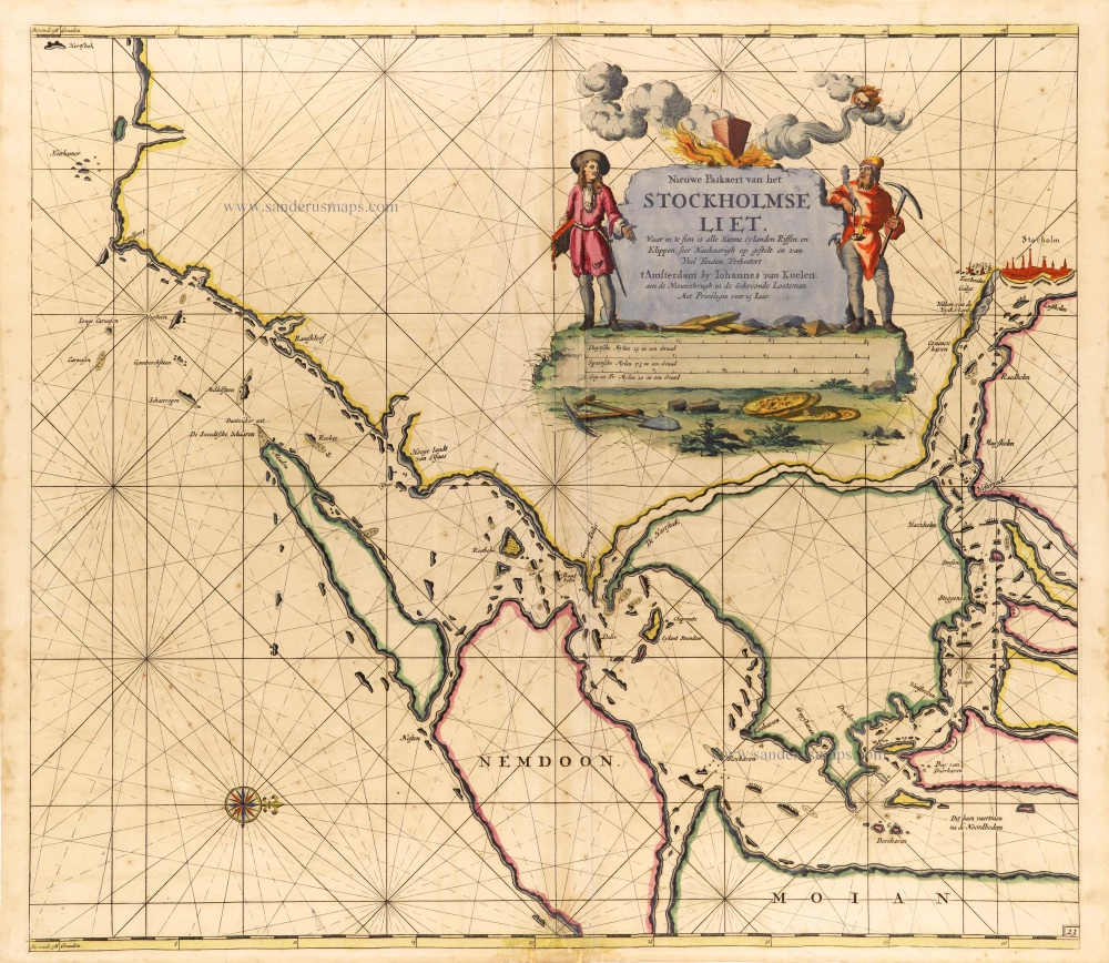
Nieuwe Paskaert van het Stockholmse Liet 1697-1709
Sweden - Stockholm, by Johannes Van Keulen.
[Item number: 12460]
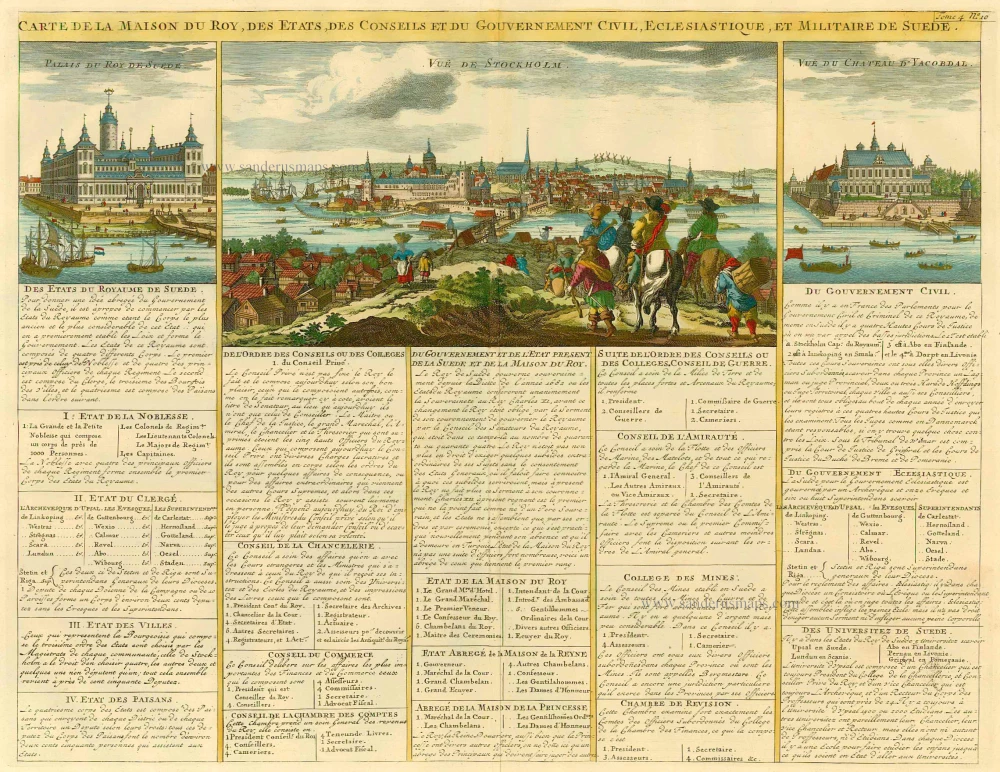
Carte de la Maison du Roy, des Etats, des Conseils et du Gouvernement Civil, Ecclesiastique, et militaire de Suède. 1713-1719
Sweden - Stockholm, by Zacharias Châtelain.
[Item number: 21340]
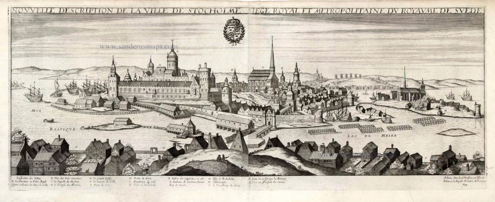
Nouvelle Description de la Ville de Stockholme Siege Royal et Metropolitaine du Royaume de Suede. 1648
Stockholm by Jean Boisseau
[Item number: 25690]

Stockholmia metropolis regni Sueciae et sedes regia qua parte Occidentem Spectat. 1660-1715
Stockholm, by E. Dahlberg.
[Item number: 28009]

Rare
Stokholm - Stocholmia totius Suetia metropolis, est admodum coelebris ... c. 1678
Gerard Jollain, Stockholm panoramic view
[Item number: 31340]