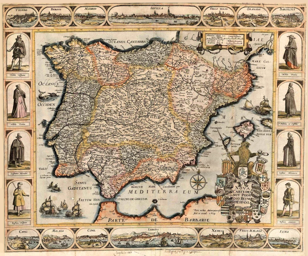
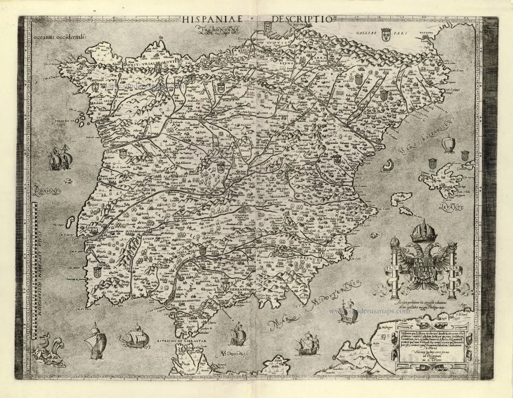
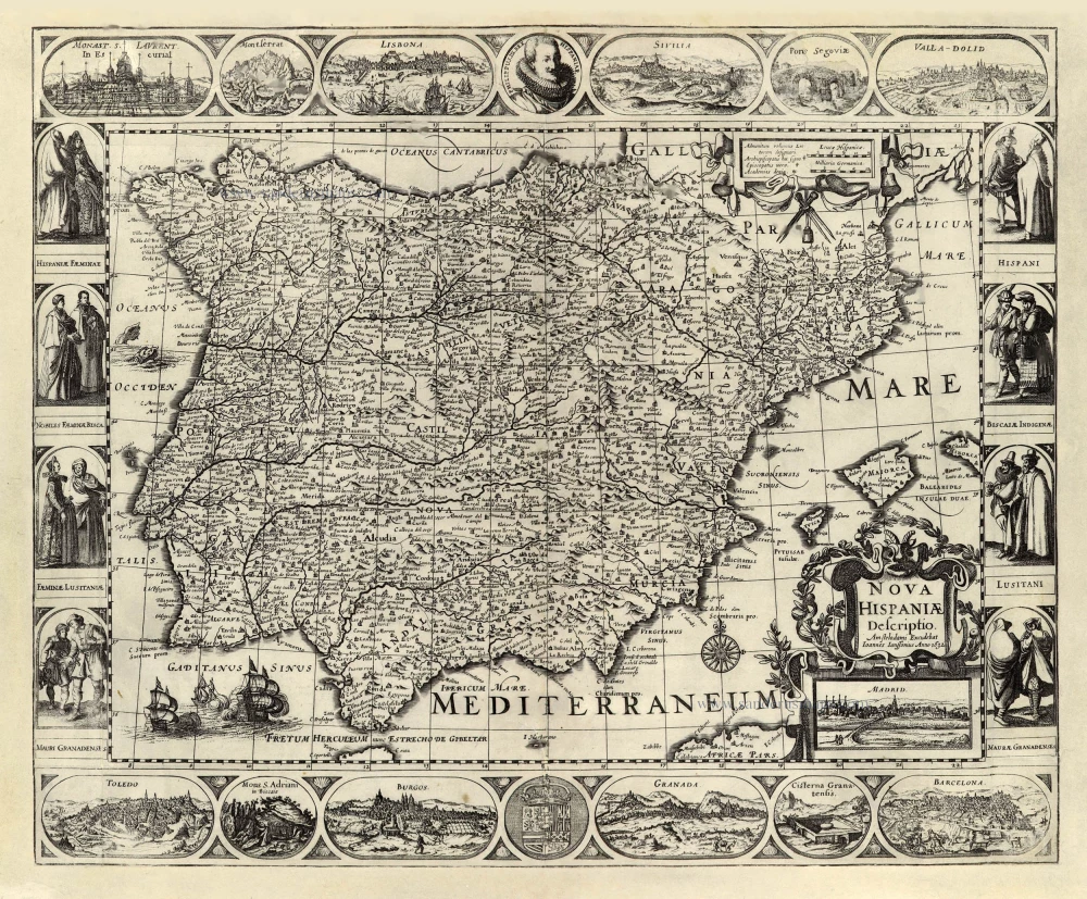
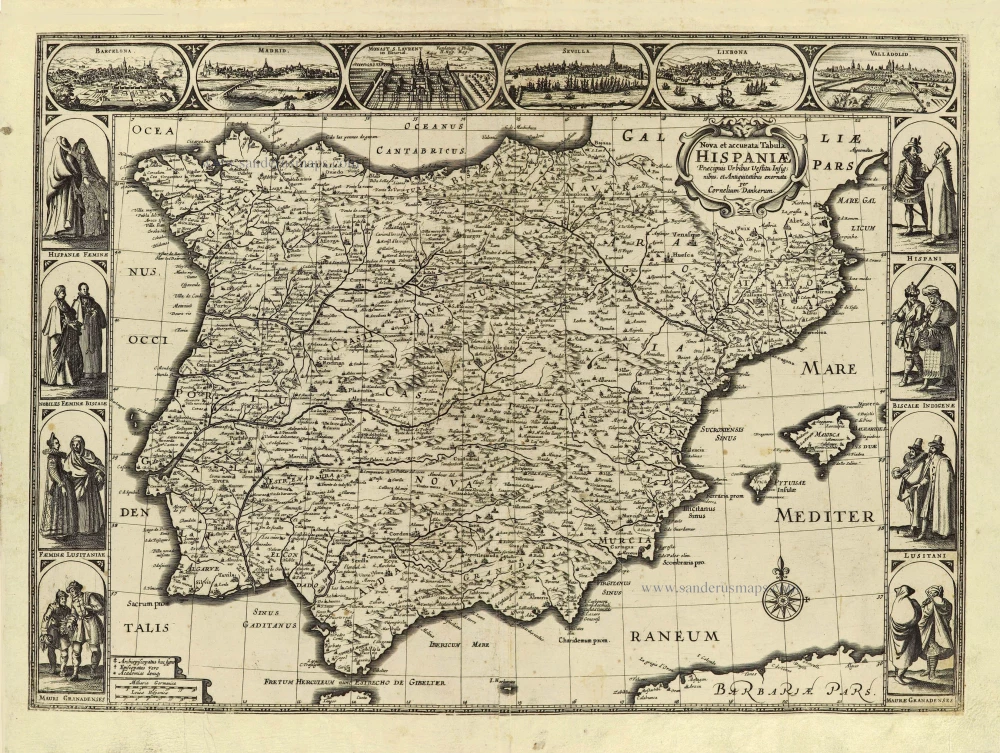
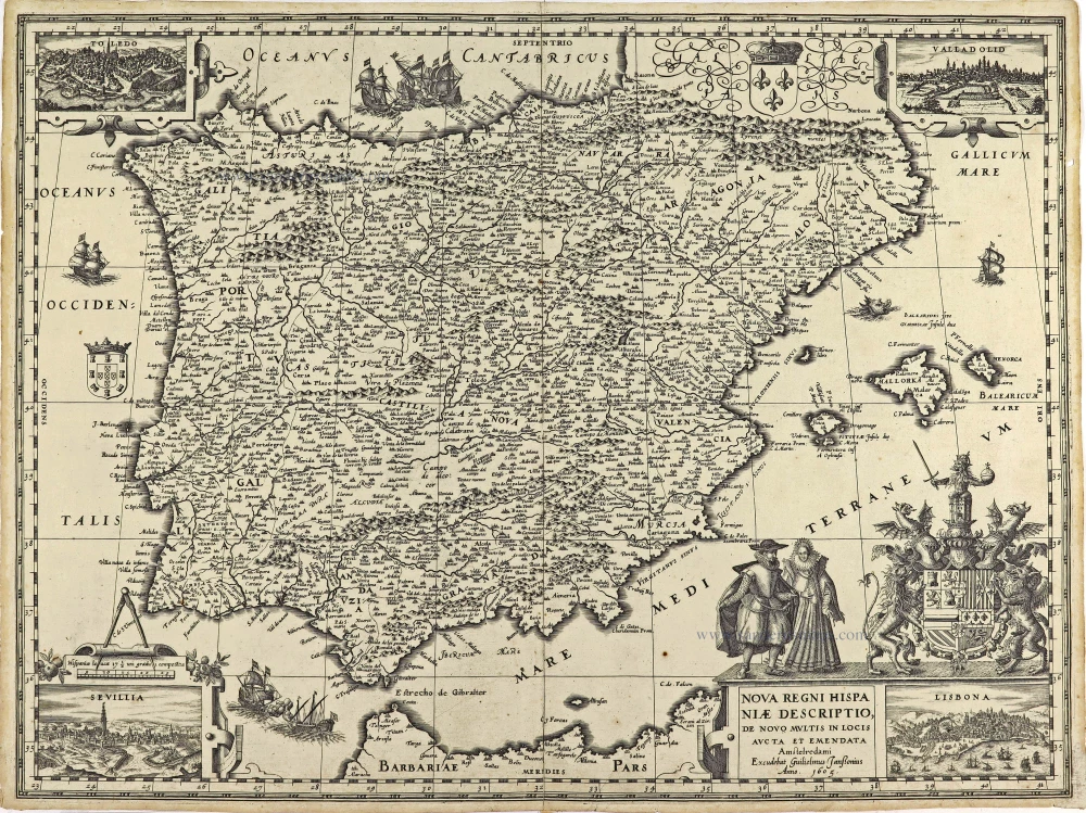
The Iberian Peninsula (Spain and Portugal), by Pieter Verbiest. 1629
EXTREMELY RARE MAP OF SPAIN, BY PIETER VERBIEST
The map is surrounded by a series of engraved views of towns in oval frames and by figures in costume. Top border: Toledo - Burgos - Madrid - Sevilla - Valadolid - Granada. Bottom border: Cadiz - Malaga - Conil - Lisbona - Xeres - Velis Malaga - Ecila. Left and right: Costumed figures. Schilder quotes three copies of this first edition with four borders: Paris, Bibl. Nat.; Wien, Osterreichische Nat.bibliothek; and Private Coll. He also mentions a copy without the bottom border. There is also a second edition (1649) with one recorded copy.
Pieter Verbiest (Petrus Verbist) and Isaak Verbiest (Isack Verbist)
Pieter Verbiest (Antwerpen, 1607-1674) was an Antwerp cartographer and engraver. Little is known about his life.
One of his most important works is the Novus Tabularum Geographicorum Belgicae (Antwerp, 1636), a pocket atlas of which two more editions were published later (1644 and 1652). Isaak Verbiest, probably a brother of Pieter, drew and engraved certain maps. Their collaboration also led to the production of two rare world maps.
Pieter Verbiest also published folio maps as separate publications. Koeman describes three editions of a Verbiest atlas of the Netherlands, published between 1636 and 1652. Only one copy of each of these atlases is known.
Verbiest-maps, some with beautiful decorative borders with city views, costumed figures and coats of arms, were sometimes bound in composite atlases. Occasionally, copies of these scarce maps come onto the market.
Nova Carte del muy Podr Oso Reyno D'Espania.
Item Number: 27739 Authenticity Guarantee
Category: Antique maps > Europe > Spain and Portugal
** Extremely rare map of the Iberian Peninsula (Spain and Portugal) by Pieter Verbiest. ***.
Title: Nova Carte del muy Podr Oso Reyno D'Espania.Date of the first edition: 1629.
Date of this map: 1629.
Copper engraving, printed on paper.
Map size: 455 x 555mm (17.91 x 21.85 inches).
Sheet size: 470 x 565mm (18.5 x 22.24 inches).
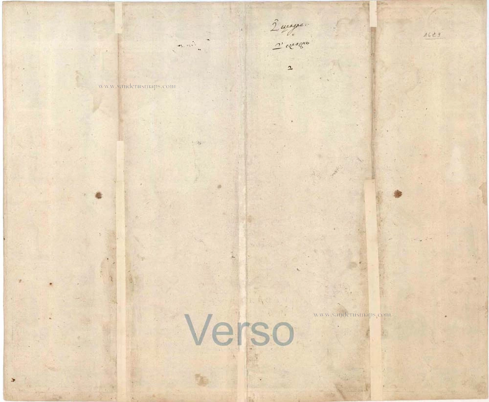
Verso: Blank.
Condition: Original coloured, two additional vertical folds, reinforcements to folds at the back, good copy.
Condition Rating: A+.
Separate publication.
EXTREMELY RARE MAP OF SPAIN, BY PIETER VERBIEST
The map is surrounded by a series of engraved views of towns in oval frames and by figures in costume. Top border: Toledo - Burgos - Madrid - Sevilla - Valadolid - Granada. Bottom border: Cadiz - Malaga - Conil - Lisbona - Xeres - Velis Malaga - Ecila. Left and right: Costumed figures. Schilder quotes three copies of this first edition with four borders: Paris, Bibl. Nat.; Wien, Osterreichische Nat.bibliothek; and Private Coll. He also mentions a copy without the bottom border. There is also a second edition (1649) with one recorded copy.
Pieter Verbiest (Petrus Verbist) and Isaak Verbiest (Isack Verbist)
Pieter Verbiest (Antwerpen, 1607-1674) was an Antwerp cartographer and engraver. Little is known about his life.
One of his most important works is the Novus Tabularum Geographicorum Belgicae (Antwerp, 1636), a pocket atlas of which two more editions were published later (1644 and 1652). Isaak Verbiest, probably a brother of Pieter, drew and engraved certain maps. Their collaboration also led to the production of two rare world maps.
Pieter Verbiest also published folio maps as separate publications. Koeman describes three editions of a Verbiest atlas of the Netherlands, published between 1636 and 1652. Only one copy of each of these atlases is known.
Verbiest-maps, some with beautiful decorative borders with city views, costumed figures and coats of arms, were sometimes bound in composite atlases. Occasionally, copies of these scarce maps come onto the market.

