
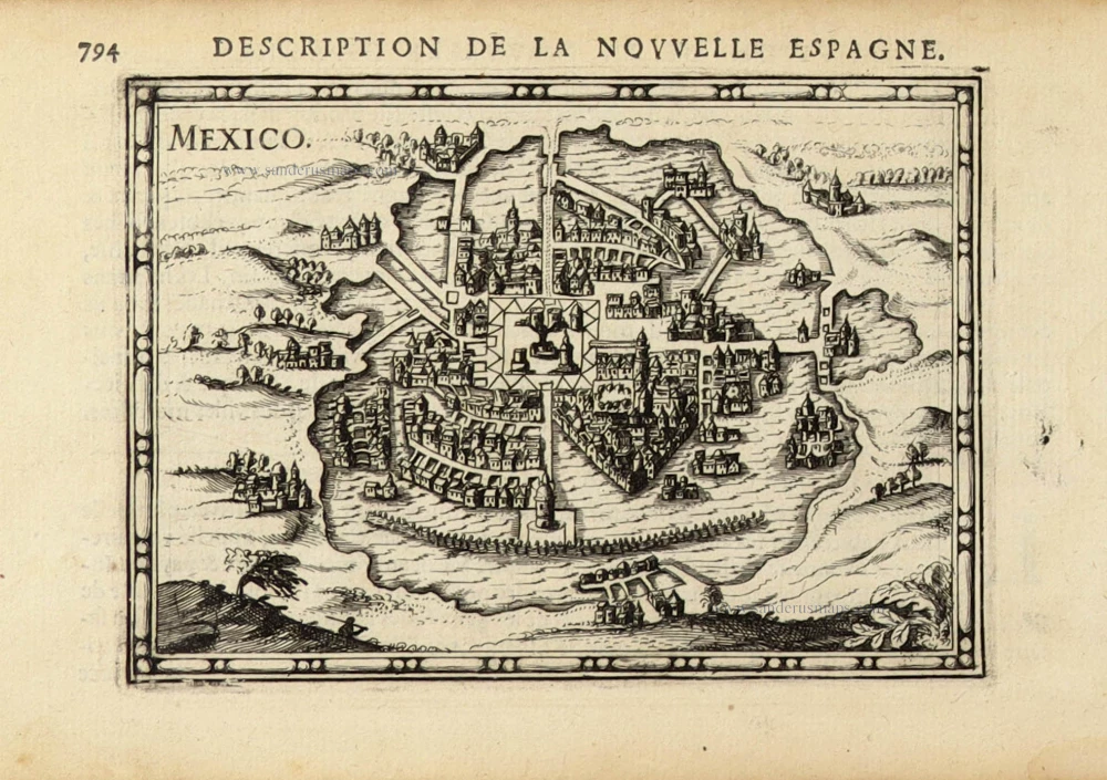
Mexico and Cusco by Georg Braun and Frans Hogenberg. 1612
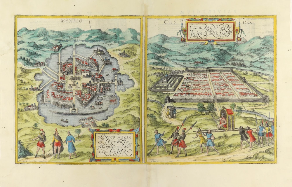
MEXICO
Translation of cartouche text: Mexico, the royal and famous city of New Spain.
COMMENTARY BY BRAUN: "Mexico, or Tenochtitlan, is a rich and important city in New Spain in the Mexican provinces, lying in a saltwater lake. There are many heathen temples here, where their priests live; the most important amongst them is a temple whose quite incredible magnificence Hernan Cortés describes in detail. They make their heathen images out of flour and human blood, and every day sacrifice a large number of human hearts to them, which they cut out of the living bodies. A magnificent palace belonging to the most powerful lord, Moctezuma, also stands here."
Tenochtitlan was founded around 1325 on an island in Lake Texcoco by wandering Aztec tribes. As the city's population grew to over 100,000 over the next 200 years, the city spread across ever more of the lake's islets, which were linked by dams and bridges and drained by canals. The plate shows the magnificent central square with the palace of Moctezuma II and the Templo Mayor dedicated to the god Huitzilopochtli, where human sacrifice was performed. Reports of cannibalism and human sacrifice are a recurring theme of contemporary European accounts and were used to justify the Spanish conquest. Although the Aztecs were able to hold off Cortés and his troops in 1519, Tenochtitlan was taken by the Spanish in 1520, and the Aztec rulers were put to death. The temple and the city were extensively damaged, and a church and a palace for the viceroy of New Spain were built on the central square. The new town was called Mexico City, one of the names the Aztecs used for themselves.
CUSCO (CUZCO)
Cartouche: Cusco, capital of the Kingdom of Peru in the New World.
Commentary by Braun: "The capital of Peru in the south of the New World is Cusco, a city so large, powerful and beautiful that it can easily rank alongside the most important cities in Spain and France [...] The streets are generally very straight, with numerous crossroads and a stream running down most of them. The city is particularly embellished by a wonderful palace that lies on a steep hill and has no equal in Europe." The engraving offers a steep bird's-eye view of Cusco. Its straight roads are clearly visible, although the blocks of houses are slightly too small and are drawn in a distorted perspective. According to legend, Cusco was founded around 1200 by Manco Capac, the Quechua Indian who became the first Inca: the Quechua name for the city is Qusqu, meaning "navel of the world". On 15 November 1533, Cusco was conquered by the Spanish under the command of Francisco Pizarro, who tried to manipulate the Inca rulers to his own ends. The latter broke their alliance with the Spanish in 1536, and the ensuing Inca uprising lasted until 1572. (Taschen)
Braun G. & Hogenberg F. and the Civitates Orbis Terrarum.
The Civitates Orbis Terrarum, also known as the 'Braun & Hogenberg', is a six-volume town atlas and the most excellent book of town views and plans ever published: 363 engravings, sometimes beautifully coloured. It was one of the best-selling works in the last quarter of the 16th century. Georg Braun, a skilled writer, wrote the text accompanying the plans and views on the verso. Many plates were engraved after the original drawings of a professional artist, Joris Hoefnagel (1542-1600). The first volume was published in Latin in 1572 and the sixth in 1617. Frans Hogenberg, a talented engraver, created the tables for volumes I through IV, and Simon van den Neuwel made those for volumes V and VI. Other contributors were cartographers Daniel Freese and Heinrich Rantzau, who provided valuable geographical information. Works by Jacob van Deventer, Sebastian Münster, and Johannes Stumpf were also used as references. Translations appeared in German and French, making the atlas accessible to a broader audience.
Since its original publication of volume 1 in 1572, the Civitates Orbis Terrarum has left an indelible mark on the history of cartography. Seven more editions followed the first volume in 1575, 1577, 1582, 1588, 1593, 1599, and 1612. Vol.2, initially released in 1575, saw subsequent editions in 1597 and 1612. The subsequent volumes, each a treasure trove of historical insights, graced the world in 1581, 1588, 1593, 1599, and 1606. The German translation of the first volume, a testament to its widespread appeal, debuted in 1574, followed by the French edition in 1575.
Several printers were involved: Theodor Graminaeus, Heinrich von Aich, Gottfried von Kempen, Johannis Sinniger, Bertram Buchholtz, and Peter von Brachel, all of whom worked in Cologne.
Georg Braun (1541-1622)
Georg Braun, the author of the text accompanying the plans and views in the Civitates Orbis Terrarum, was born in Cologne in 1541. After his studies in Cologne, he entered the Jesuit Order as a novice, indicating his commitment to learning and intellectual pursuits. In 1561, he obtained his bachelor's degree; in 1562, he received his Magister Artium, further demonstrating his academic achievements. Although he left the Jesuit Order, he continued his studies in theology, gaining a licentiate in theology. His theological background likely influenced the content and tone of the text in the Civitates Orbis Terrarum, adding a unique perspective to the work.
Frans Hogenberg (1535-1590)
Frans Hogenberg was a Flemish and German painter, engraver, and mapmaker. He was born in Mechelen as the son of Nicolaas Hogenberg.
By the end of the 1560s, Frans Hogenberg was employed upon Abraham Ortelius's Theatrum Orbis Terrarum, published in 1570; he is named an engraver of numerous maps. In 1568, he was banned from Antwerp by the Duke of Alva and travelled to London, where he stayed a few years before emigrating to Cologne. He immediately embarked on his two most important works, the Civitates, published in 1572 and the Geschichtsblätter, which appeared in several series from 1569 until about 1587.
Thanks to large-scale projects like the Geschichtsblätter and the Civitates, Hogenberg's social circumstances improved with each passing year. He died as a wealthy man in Cologne in 1590.
Mexico, Regia et Celebris Hispaniae Novae Civitas ... [on sheet with] Cusco, Regni Peru in Novo Orbe Caput
Item Number: 32693 new Authenticity Guarantee
Category: Antique maps > America > North America
Mexico and Cusco by Georg Braun and Frans Hogenberg.
Title: Mexico, Regia et Celebris Hispaniae Novae Civitas ... [on sheet with] Cusco, Regni Peru in Novo Orbe Caput
Cum Privilegio.
Date of the first edition: 1572.
Date of this map: 1612.
Copper engraving, printed on paper.
Image size: 270 x 480mm (10¾ x 19 inches).
Sheet size: 405 x 520mm (16 x 20½ inches).
Verso: Latin text.
Condition: Hand-coloured, excellent.
Condition Rating: A+.
From: Civitates Orbis Terrarum, Liber Primus. Cologne, Petrus von Brachel, 1612. (Van der Krogt 4, 41:1.1(1612))
MEXICO
Translation of cartouche text: Mexico, the royal and famous city of New Spain.
COMMENTARY BY BRAUN: "Mexico, or Tenochtitlan, is a rich and important city in New Spain in the Mexican provinces, lying in a saltwater lake. There are many heathen temples here, where their priests live; the most important amongst them is a temple whose quite incredible magnificence Hernan Cortés describes in detail. They make their heathen images out of flour and human blood, and every day sacrifice a large number of human hearts to them, which they cut out of the living bodies. A magnificent palace belonging to the most powerful lord, Moctezuma, also stands here."
Tenochtitlan was founded around 1325 on an island in Lake Texcoco by wandering Aztec tribes. As the city's population grew to over 100,000 over the next 200 years, the city spread across ever more of the lake's islets, which were linked by dams and bridges and drained by canals. The plate shows the magnificent central square with the palace of Moctezuma II and the Templo Mayor dedicated to the god Huitzilopochtli, where human sacrifice was performed. Reports of cannibalism and human sacrifice are a recurring theme of contemporary European accounts and were used to justify the Spanish conquest. Although the Aztecs were able to hold off Cortés and his troops in 1519, Tenochtitlan was taken by the Spanish in 1520, and the Aztec rulers were put to death. The temple and the city were extensively damaged, and a church and a palace for the viceroy of New Spain were built on the central square. The new town was called Mexico City, one of the names the Aztecs used for themselves.
CUSCO (CUZCO)
Cartouche: Cusco, capital of the Kingdom of Peru in the New World.
Commentary by Braun: "The capital of Peru in the south of the New World is Cusco, a city so large, powerful and beautiful that it can easily rank alongside the most important cities in Spain and France [...] The streets are generally very straight, with numerous crossroads and a stream running down most of them. The city is particularly embellished by a wonderful palace that lies on a steep hill and has no equal in Europe." The engraving offers a steep bird's-eye view of Cusco. Its straight roads are clearly visible, although the blocks of houses are slightly too small and are drawn in a distorted perspective. According to legend, Cusco was founded around 1200 by Manco Capac, the Quechua Indian who became the first Inca: the Quechua name for the city is Qusqu, meaning "navel of the world". On 15 November 1533, Cusco was conquered by the Spanish under the command of Francisco Pizarro, who tried to manipulate the Inca rulers to his own ends. The latter broke their alliance with the Spanish in 1536, and the ensuing Inca uprising lasted until 1572. (Taschen)
Braun G. & Hogenberg F. and the Civitates Orbis Terrarum.
The Civitates Orbis Terrarum, also known as the 'Braun & Hogenberg', is a six-volume town atlas and the most excellent book of town views and plans ever published: 363 engravings, sometimes beautifully coloured. It was one of the best-selling works in the last quarter of the 16th century. Georg Braun, a skilled writer, wrote the text accompanying the plans and views on the verso. Many plates were engraved after the original drawings of a professional artist, Joris Hoefnagel (1542-1600). The first volume was published in Latin in 1572 and the sixth in 1617. Frans Hogenberg, a talented engraver, created the tables for volumes I through IV, and Simon van den Neuwel made those for volumes V and VI. Other contributors were cartographers Daniel Freese and Heinrich Rantzau, who provided valuable geographical information. Works by Jacob van Deventer, Sebastian Münster, and Johannes Stumpf were also used as references. Translations appeared in German and French, making the atlas accessible to a broader audience.
Since its original publication of volume 1 in 1572, the Civitates Orbis Terrarum has left an indelible mark on the history of cartography. Seven more editions followed the first volume in 1575, 1577, 1582, 1588, 1593, 1599, and 1612. Vol.2, initially released in 1575, saw subsequent editions in 1597 and 1612. The subsequent volumes, each a treasure trove of historical insights, graced the world in 1581, 1588, 1593, 1599, and 1606. The German translation of the first volume, a testament to its widespread appeal, debuted in 1574, followed by the French edition in 1575.
Several printers were involved: Theodor Graminaeus, Heinrich von Aich, Gottfried von Kempen, Johannis Sinniger, Bertram Buchholtz, and Peter von Brachel, all of whom worked in Cologne.
Georg Braun (1541-1622)
Georg Braun, the author of the text accompanying the plans and views in the Civitates Orbis Terrarum, was born in Cologne in 1541. After his studies in Cologne, he entered the Jesuit Order as a novice, indicating his commitment to learning and intellectual pursuits. In 1561, he obtained his bachelor's degree; in 1562, he received his Magister Artium, further demonstrating his academic achievements. Although he left the Jesuit Order, he continued his studies in theology, gaining a licentiate in theology. His theological background likely influenced the content and tone of the text in the Civitates Orbis Terrarum, adding a unique perspective to the work.
Frans Hogenberg (1535-1590)
Frans Hogenberg was a Flemish and German painter, engraver, and mapmaker. He was born in Mechelen as the son of Nicolaas Hogenberg.
By the end of the 1560s, Frans Hogenberg was employed upon Abraham Ortelius's Theatrum Orbis Terrarum, published in 1570; he is named an engraver of numerous maps. In 1568, he was banned from Antwerp by the Duke of Alva and travelled to London, where he stayed a few years before emigrating to Cologne. He immediately embarked on his two most important works, the Civitates, published in 1572 and the Geschichtsblätter, which appeared in several series from 1569 until about 1587.
Thanks to large-scale projects like the Geschichtsblätter and the Civitates, Hogenberg's social circumstances improved with each passing year. He died as a wealthy man in Cologne in 1590.
Related items

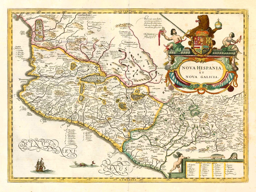
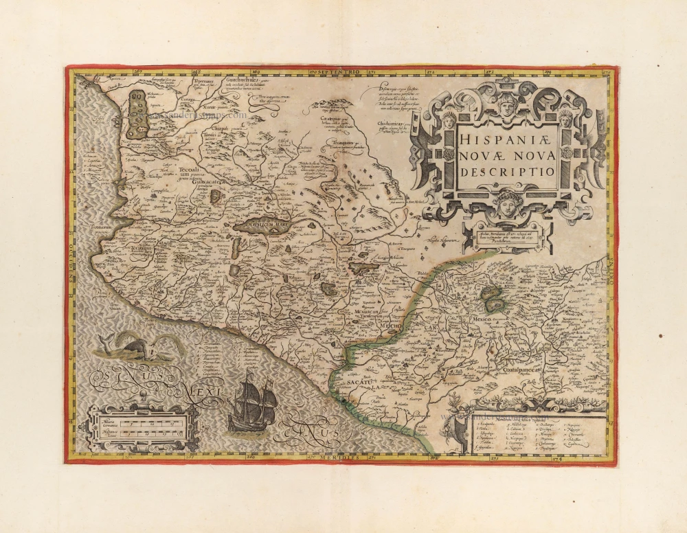
Nova Hispania, Et Nova Galicia. 1633
New Spain (Mexico) by J. Janssonius.
[Item number: 7787]
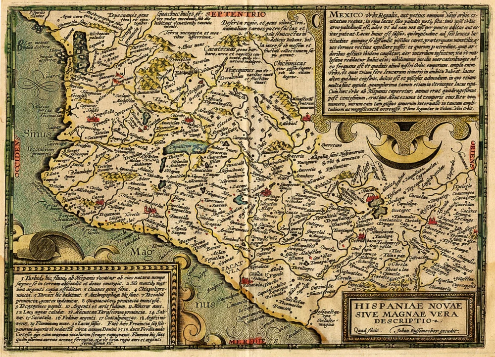
Hispaniae Novae sive Magnae Vera Descriptio. 1608
Mexico, by Quad M.-Bussemacher J.
[Item number: 15869]
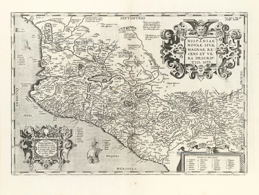
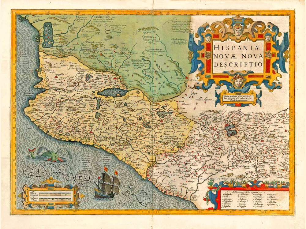
Hispaniae Novae sivae Magnae, recens et vera descriptio. 1612
New Spain (Mexico) by Abraham Ortelius.
[Item number: 23112]
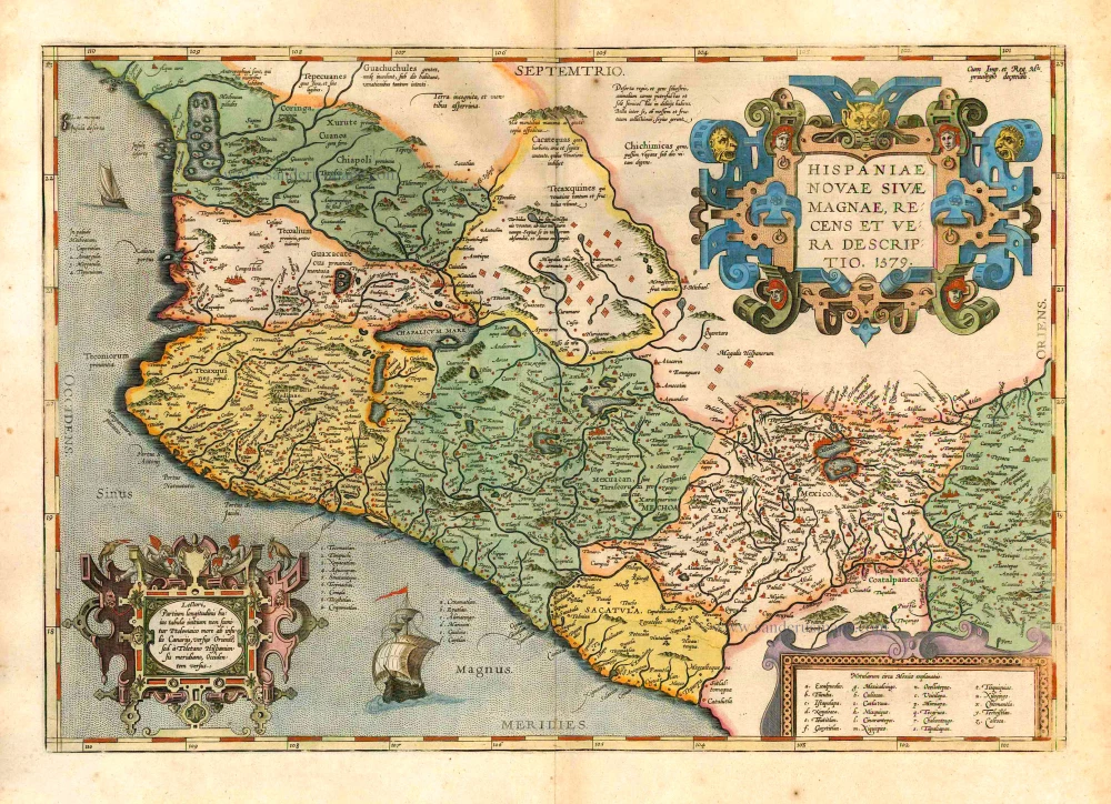
Hispaniae Novae sivae Magnae, recens et vera descriptio. 1579. 1595
New Spain (Mexico) by Abraham Ortelius.
[Item number: 26297]
Nova Hispania et Nova Galicia. 1641
New Spain (Mexico), by Johannes Janssonius.
[Item number: 26463]
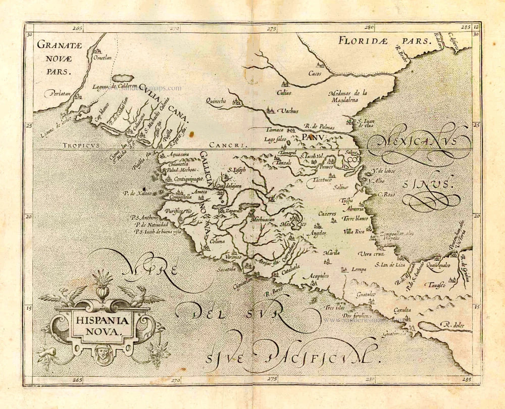
Hispania Nova. 1607
Mexico, by C. van Wytfliet.
[Item number: 26501]
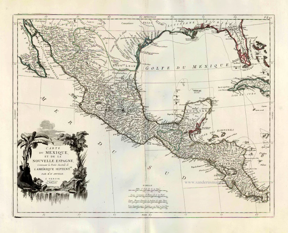
Carte du Mexique, et de la Nouvelle Espagne, Contenant la Partie Australe de l'Amérique Septentle. 1776-79
Mexico, by Paolo Santini.
[Item number: 27009]
Hispaniae Novae Nova Descriptio. 1623
New Spain (Mexico) by Jodocus Hondius.
[Item number: 27817]
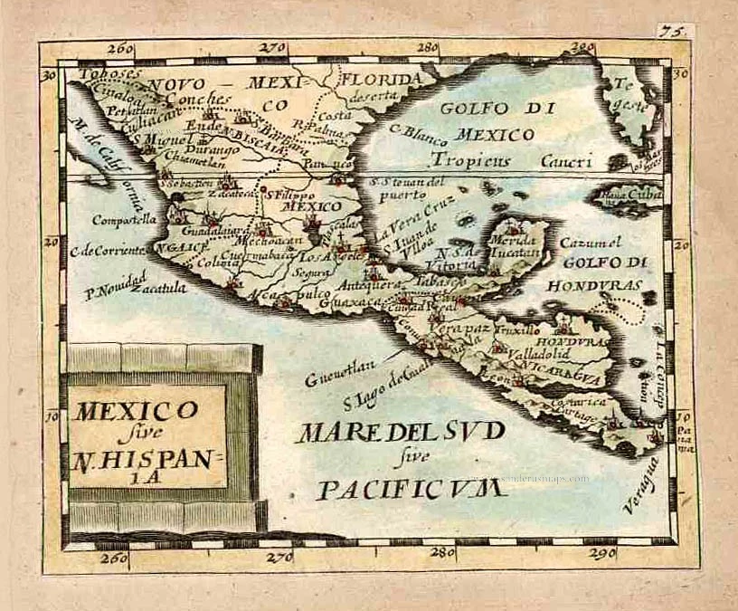
Mexico sive N. Hispania. 1661
Mexico, by Pierre Duval.
[Item number: 27839]
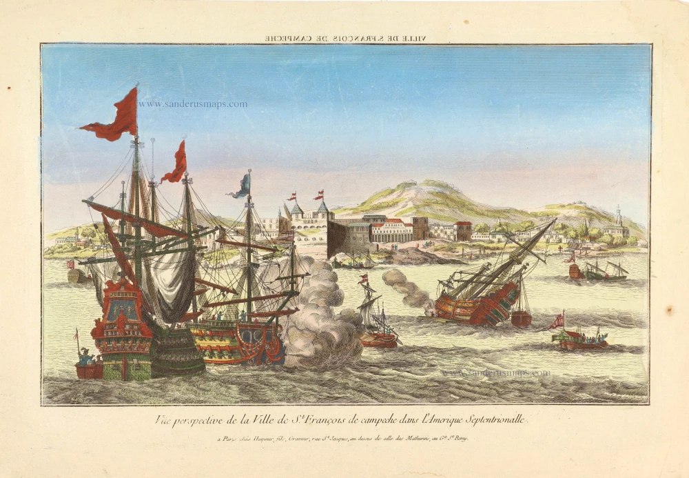
Vue prespective de la Ville de St. François de campech dans L'Amerique Septentrionalle. ca. 1780
Perspective view of a naval battle off the town of St. François (Campeche - Mexico).
[Item number: 28994]
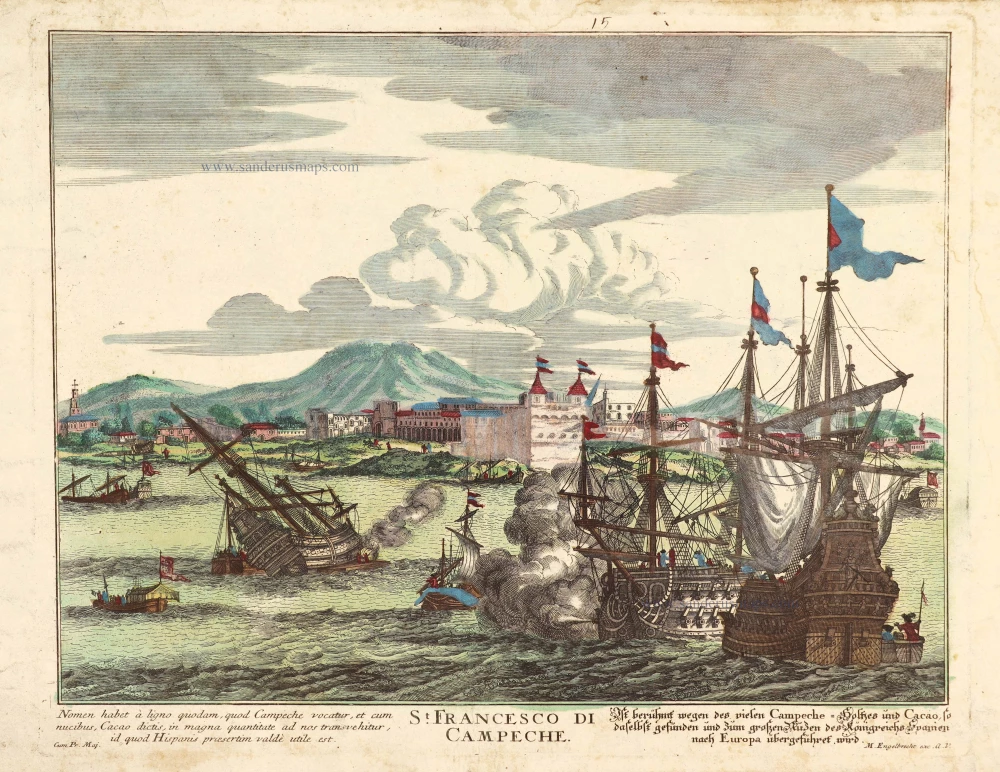
St. Francesco di Campeche. c. 1770
Optical view of a sea battle before Campeche (Mexico).
[Item number: 29061]
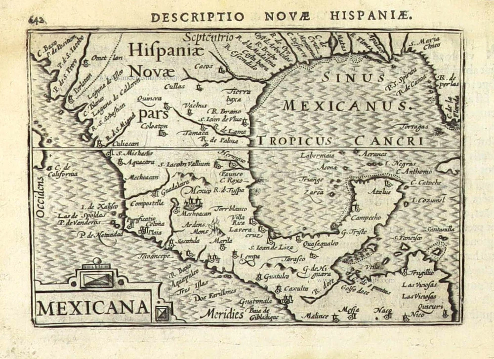
Mexicana. 1602
Mexico, Texas & Florida by Bertius Petrus
[Item number: 29492]
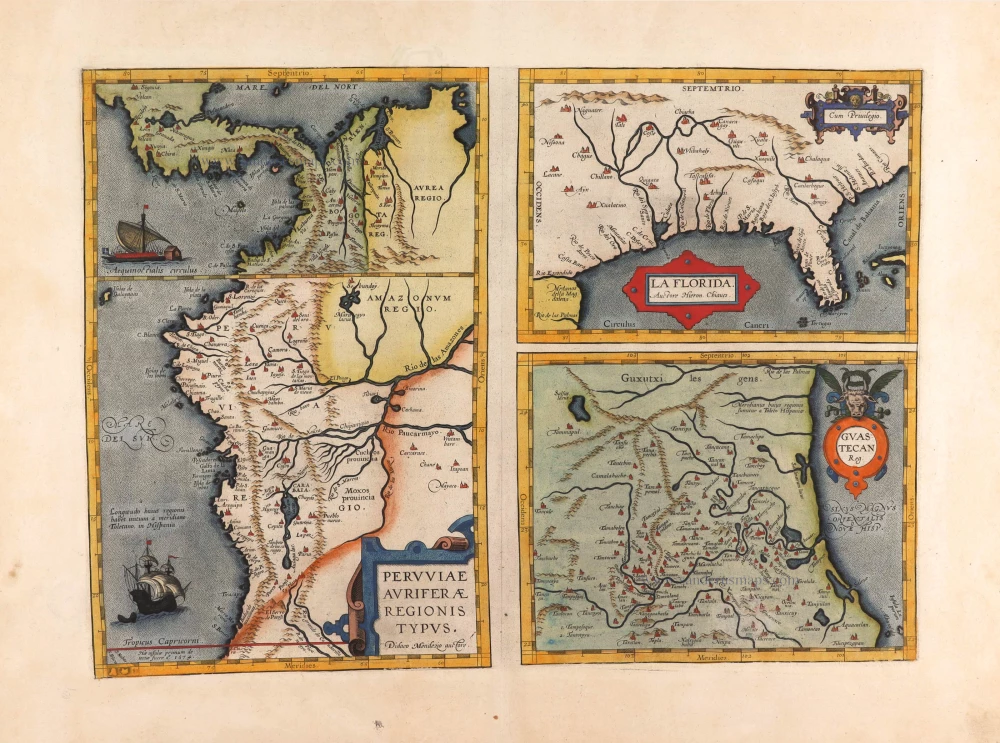
Peruviae Auriferae Regionis Typus. - La Florida - Guastecan ... 1595
Florida, Peru and Mexico by Abraham Ortelius.
[Item number: 29711]
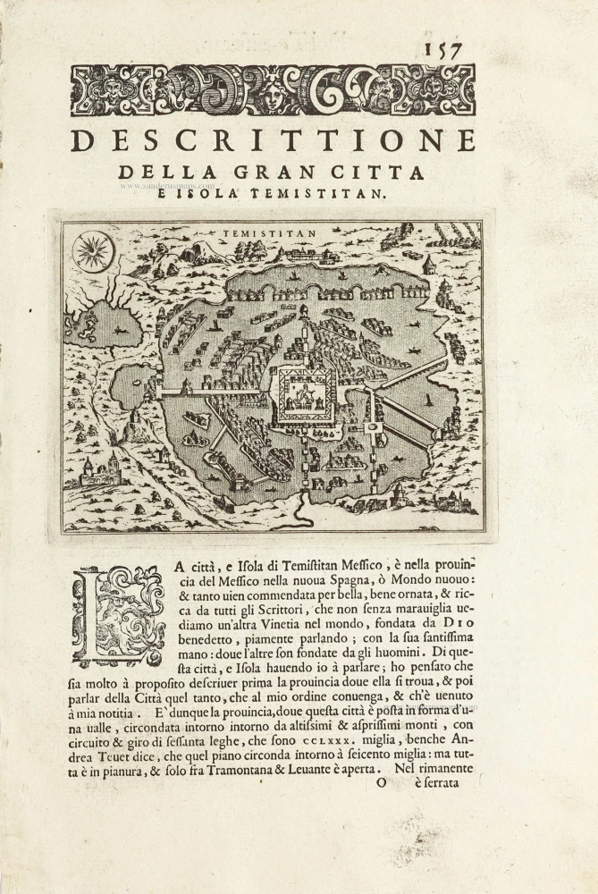
Temistitan - [Above map :] Descrittione della Gran Citta e Isola Temistitan. 1590
Mexico City by Tommaso Porcacchi.
[Item number: 29826]
Very rare.
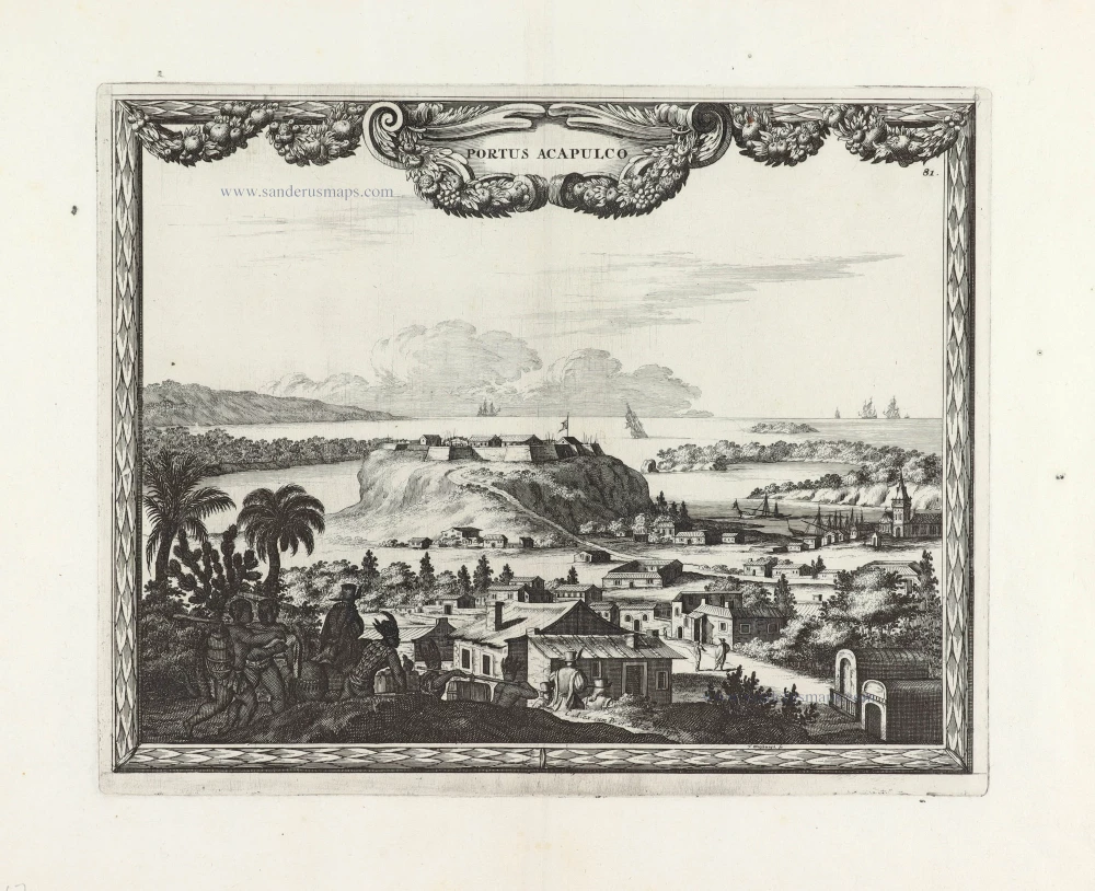
Portus Acapulco. 1685/90
View of Acapulco (Mexico) by Carel Allard.
[Item number: 30548]
SCARCE !
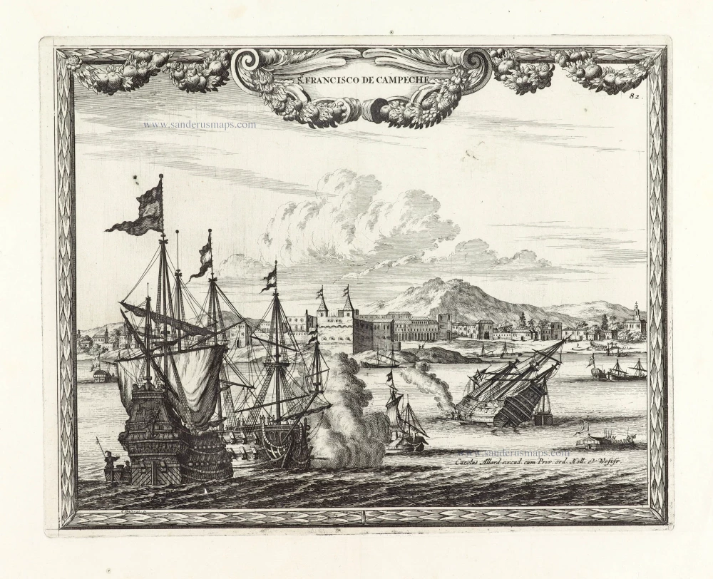
S. Francisco de Campeche. 1685/90
View of Mexico - Campeche, by Carel Allard.
[Item number: 30577]
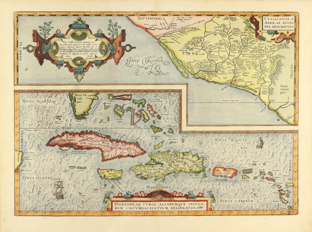
Culiacanae Americae Regionis Descriptio. - Hispaniolae, Cubae, Aliarumquae Insularum Circumiacentium, delineatio. 1584
Antilles by Abraham Ortelius.
[Item number: 30904]
Hispaniae Novae Nova Descriptio. c. 1610-1650
New Spain (Mexico) by Jodocus Hondius.
[Item number: 31323]
Mexico 1618
Mexico City, by Petrus Bertius.
[Item number: 32336]

Nova Hispania 1618
Mexico, by Petrus Bertius.
[Item number: 32337]