This product is successfully added to your cart
Questions about this product? (#30329)

Authenticity Guarantee
All items are guaranteed authentic prints (woodcuts or engravings) or manuscripts made at or about (c.) the given date and in good condition unless stated otherwise. We don’t sell facsimiles or reproductions. We deliver every map with a Certificate of Authenticity containing all the details.

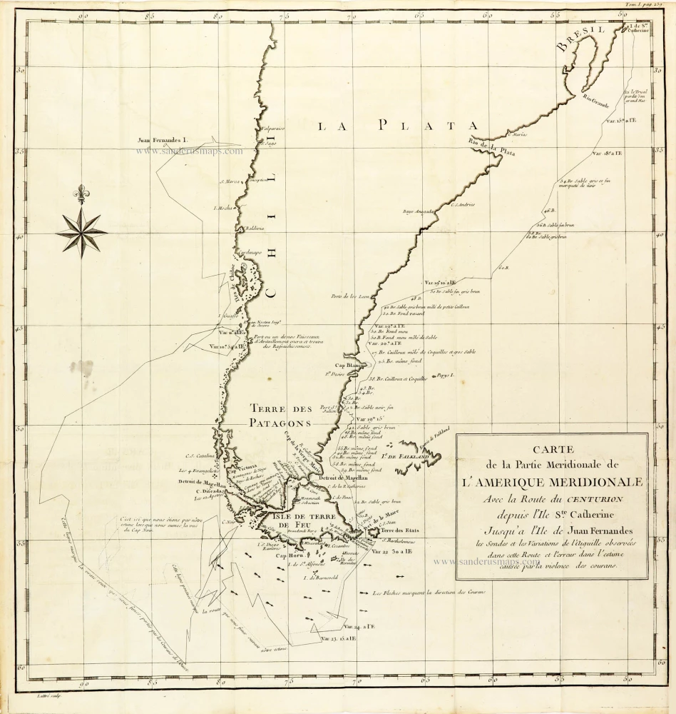
Map of Southern South America, showing a part of the path of George Anson's voyage around the world. 1748

 
The chart shows the tracks of Anson's ships around South America & Cape Horn to the Juan Fernandes Islands.

Captain George Anson (1697-1762)

Circumnavigator in 1740-44. Later Admiral of the Fleet. 

Captain George Anson led a squadron of eight ships on a mission to disrupt or capture the Pacific Ocean possessions of the Spanish Empire. He left Hampshire, England, in 1740 and returned to Britain in 1744 through China, thus completing a circumnavigation of the globe.

back

Carte de la Partie Méridionale de l'Amérique Méridionale. Avec la Route du Centurion depuis l'Ile Ste Catherine Jusqu'à l'Ile de Juan Fernandes.

SOLD

Item Number:  30329 Authenticity Guarantee

Category:  Antique maps > America > South America

Map of Southern South America, showing a part of the path of George Anson's voyage around the world.

Title: Carte de la Partie Méridionale de l'Amérique Méridionale. Avec la Route du Centurion depuis l'Ile Ste Catherine Jusqu'à l'Ile de Juan Fernandes.
les Sondes et les Variations de l'Auguille observées dans cette Route et l'erreur dans l'estime causée par la violence des courans

Engraver: Jean Lattré.

Date: 1748.

Copper engraving, printed on paper.
Image size: 430 x 410mm (16.93 x 16.14 inches).
Sheet size: 450 x 435mm (17.72 x 17.13 inches).
Verso: Blank.
Condition: Folds as issued.
Condition Rating: A+.

From: Anson G. Voyage autour du monde. Paris, 1748.

 
The chart shows the tracks of Anson's ships around South America & Cape Horn to the Juan Fernandes Islands.

Captain George Anson (1697-1762)

Circumnavigator in 1740-44. Later Admiral of the Fleet. 

Captain George Anson led a squadron of eight ships on a mission to disrupt or capture the Pacific Ocean possessions of the Spanish Empire. He left Hampshire, England, in 1740 and returned to Britain in 1744 through China, thus completing a circumnavigation of the globe.
Related items

South America, by Ottens R. & J.

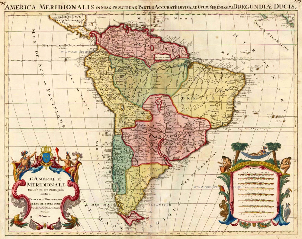
L'Amerique Meridionale Divisee en ses Principales Parties. 1756
South America, by Ottens R. & J.
[Item number: 23510]

€500  ($545 / £420)
Rare chart showing the route taken by Schouten and le Maire from South America to New Guinea, by Michiel Colijn.

Caerte van de zeylage van Jacob le Maire over de Zuydzee, vertonende de Eylanden ende Landen aldaer by hem ghesien ende aenghedaen. / Tabula, ductum navigationis, quem in Mari Australi tenuit Iacobus Le Maire ... 1622
Rare chart showing the route taken by Schouten and le Maire from South America to New Guinea, by Michiel Colijn.
[Item number: 25104]

€850  ($926.5 / £714)
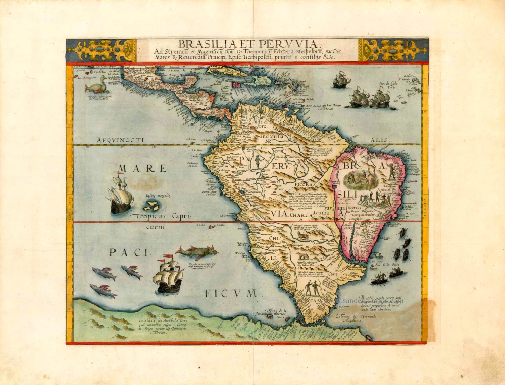
South America, by Cornelis de Jode.

Important and rare map
Brasilia et Peruvia ... 1593
South America, by Cornelis de Jode.
[Item number: 25240]

€9200  ($10028 / £7728)
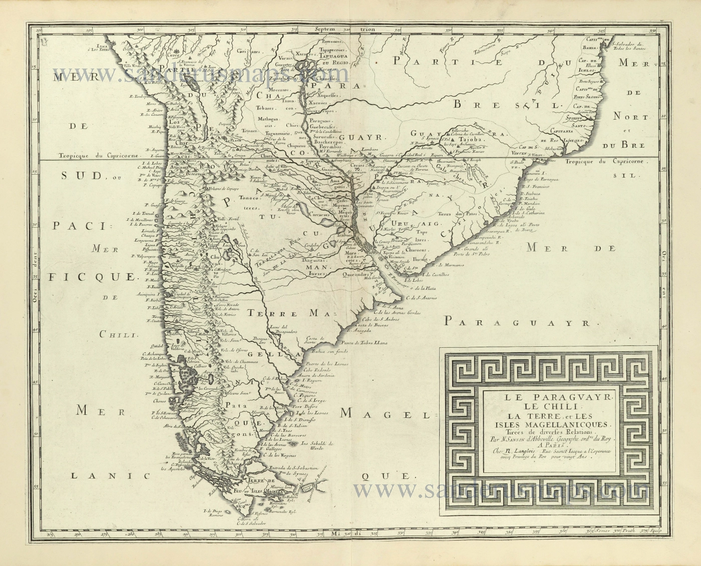
Southern South America by Nicolas Sanson.

Le Paraguayr, Le Chili, la Terre, et les Isles Magellanicques. 1692
Southern South America by Nicolas Sanson.
[Item number: 28502]

€520  ($566.8 / £436.8)
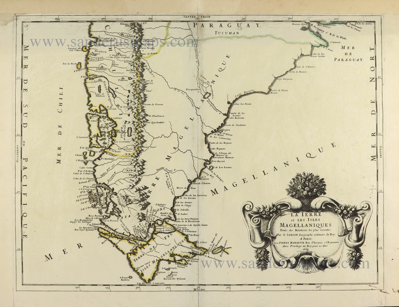
Southern South America with the Straits of Magellan, by Guillaume Sanson.

La Terre et les Isles Magellaniques. 1670
Southern South America with the Straits of Magellan, by Guillaume Sanson.
[Item number: 28510]

€680  ($741.2 / £571.2)
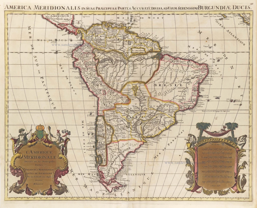
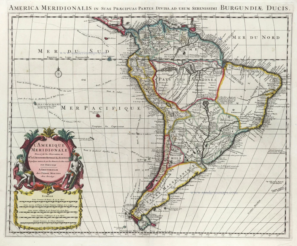
South America, by Hubert Jaillot.

L'Amerique Meridionale Divisee en ses Principales Parties. [Above map:] America Meridionalis in suas Praecipuas Partes Accurate Divisa, ad Usum Serenissimi Burgundiae Ducis. c. 1691-97
South America, by Hubert Jaillot.
[Item number: 29153]

€360  ($392.4 / £302.4)
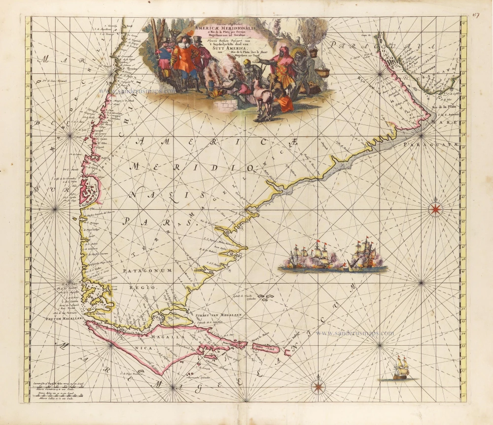
Sea chart of the Southern Coasts of South America, by Frederick de Wit.

Tractus Australior Americae Meridionalis, a Rio del a Plata per Fretum Magellanicum ad Toraltum. = Nieuwe Perfecte Pascaert van 't Suyderlyckste deel van Suyt America. van Rio de la Plata door de straet Magellaen tot Toral. c. 1690-91
Sea chart of the Southern Coasts of South America, by Frederick de Wit.
[Item number: 29239]

€750  ($817.5 / £630)
Southern South America, by Zacharias Châtelain.

Carte du Paraguai, du Chili, du Detroit de Magellan &c. 1719
Southern South America, by Zacharias Châtelain.
[Item number: 29361]

€320  ($348.8 / £268.8)
South America by Guillaume Delisle, published by Pierre Mortier.

L'Amerique Meridionale. 1708
South America by Guillaume Delisle, published by Pierre Mortier.
[Item number: 29511]

€600  ($654 / £504)
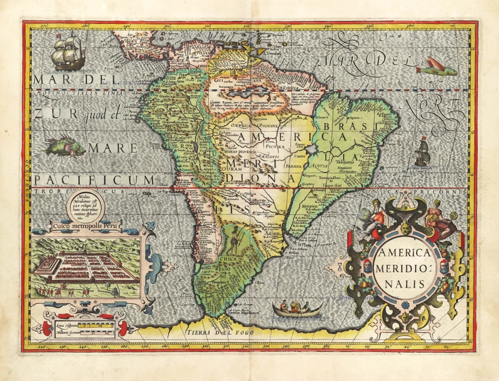
South America by Jodocus Hondius.

America Meridionalis. 1609
South America by Jodocus Hondius.
[Item number: 29847]

€1900  ($2071 / £1596)
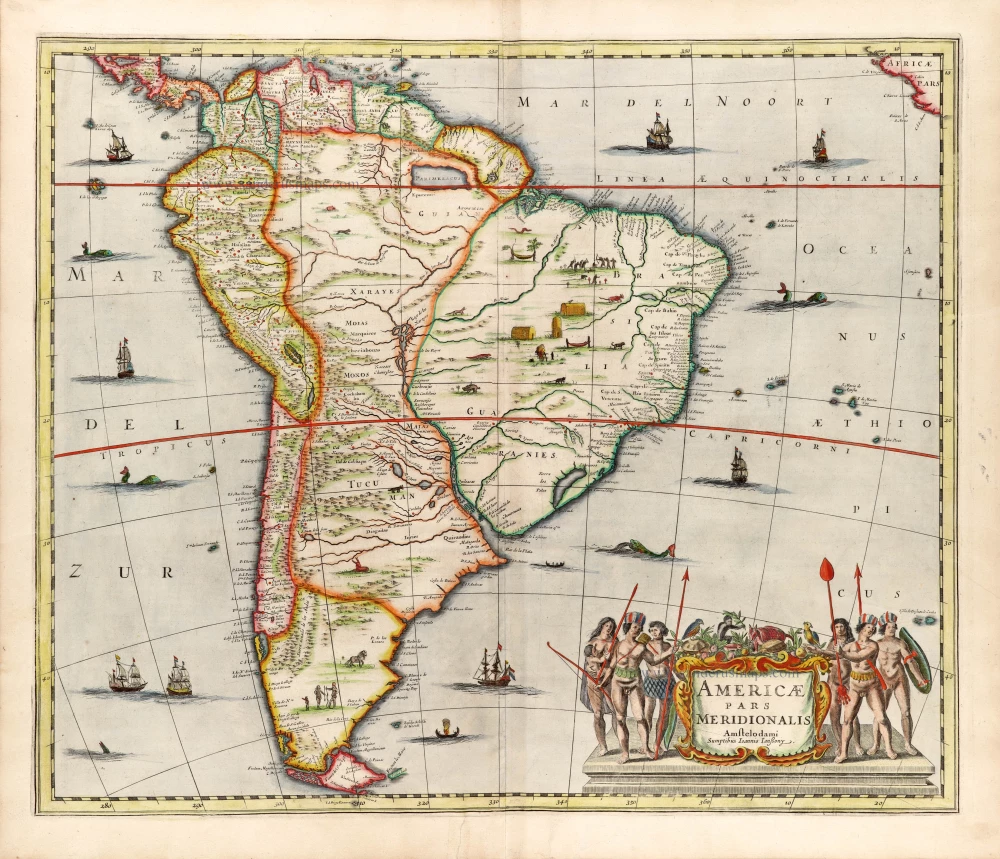
South America by Johannes Janssonius

In luxury colouring
Americae Pars Meridionalis. 1666
South America by Johannes Janssonius
[Item number: 30078]

€1300  ($1417 / £1092)