
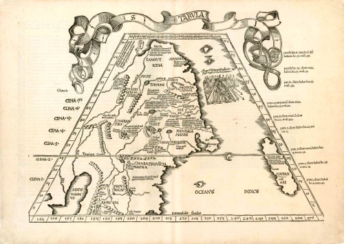
Old antique Ptolemy map of China, Tartary and Japan by M. Waldseemüller & L. Fries. 1522


Very rare first edition. (Only this first edition has a titel in a banderole).
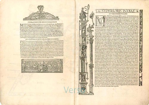
This is the first printed map of China, Northern Southeast Asia and Japan (called "Zipangri"). According to the text on the verso, this map was drawn from primary information from Marco Polo (1254-1324). A vignette is located East of of the Chinese province Cathai, it shows the Great Kublai Khan (1215-1324) seated in a tent holding two swords. Marco Polo met Kublai Khan in 1269.
S Tabula [on verso:] Ta Superioris Indiae et Tartariae Maioris.
Item Number: 6704 Authenticity Guarantee
Category: Antique maps > Asia > China
Old, antique Ptolemy map of China, Tartary and Japan by L. Fries.
Date of the first edition: 1522
Date of this map: 1522
Woodcut
Size: 33 x 46cm (12.9 x 17.9 inches) Sheet size: 38 x 53.5cm (14.8 x 20.9 inches)
Verso text: Latin
Condition: Excellent.
Condition Rating: A+
References: Karrow, 28/46; Suarez (SE Asia), p.118-119; Walter L., 3.
From: L. Fries, Opus Geographiae. Strasbourg, J. Grüninger, 1522. (Shirley (Brit. Lib.), T.PTOL.7a))
Very rare first edition. (Only this first edition has a title in a banderole).
This is the first printed map of China, Northern Southeast Asia and Japan (called "Zipangri"). According to the text on the verso, this map was drawn from primary information from Marco Polo (1254-1324). A vignette is located East of of the Chinese province Cathai, it shows the Great Kublai Khan (1215-1324) seated in a tent holding two swords. Marco Polo met Kublai Khan in 1269.
Very rare first edition. (Only this first edition has a titel in a banderole).
This is the first printed map of China, Northern Southeast Asia and Japan (called "Zipangri"). According to the text on the verso, this map was drawn from primary information from Marco Polo (1254-1324). A vignette is located East of of the Chinese province Cathai, it shows the Great Kublai Khan (1215-1324) seated in a tent holding two swords. Marco Polo met Kublai Khan in 1269.
Related items
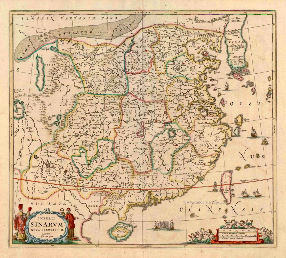
Imperii Sinarum Nova Descriptio. c. 1680.
China with Japan, Korea and Taiwan, by J. Janssonius.
[Item number: 2618]
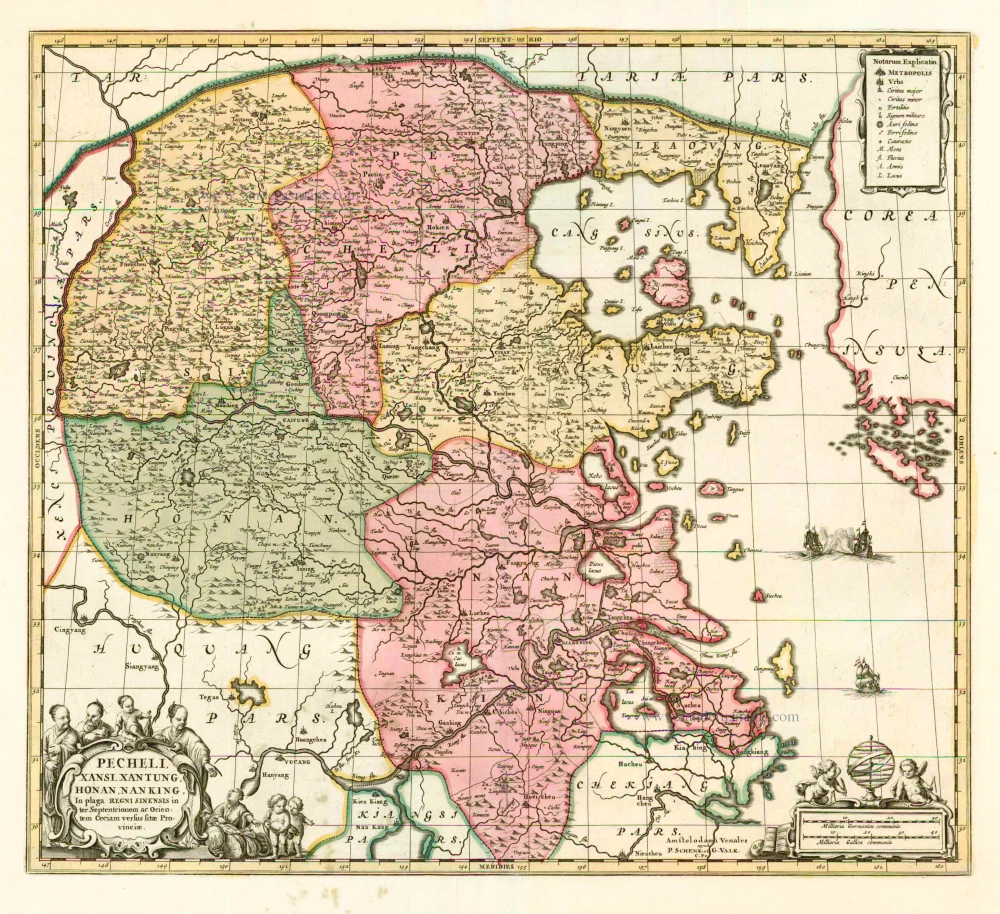
Pecheli, Xansi, Xantung, Honan, Nanking, In plaga Regni Sinensis in ter Septentrionem ac OrientemCeciam versus sitae Provinciae. c. 1700
Northeastern China, by Valk G. & Schenk P.
[Item number: 2694]
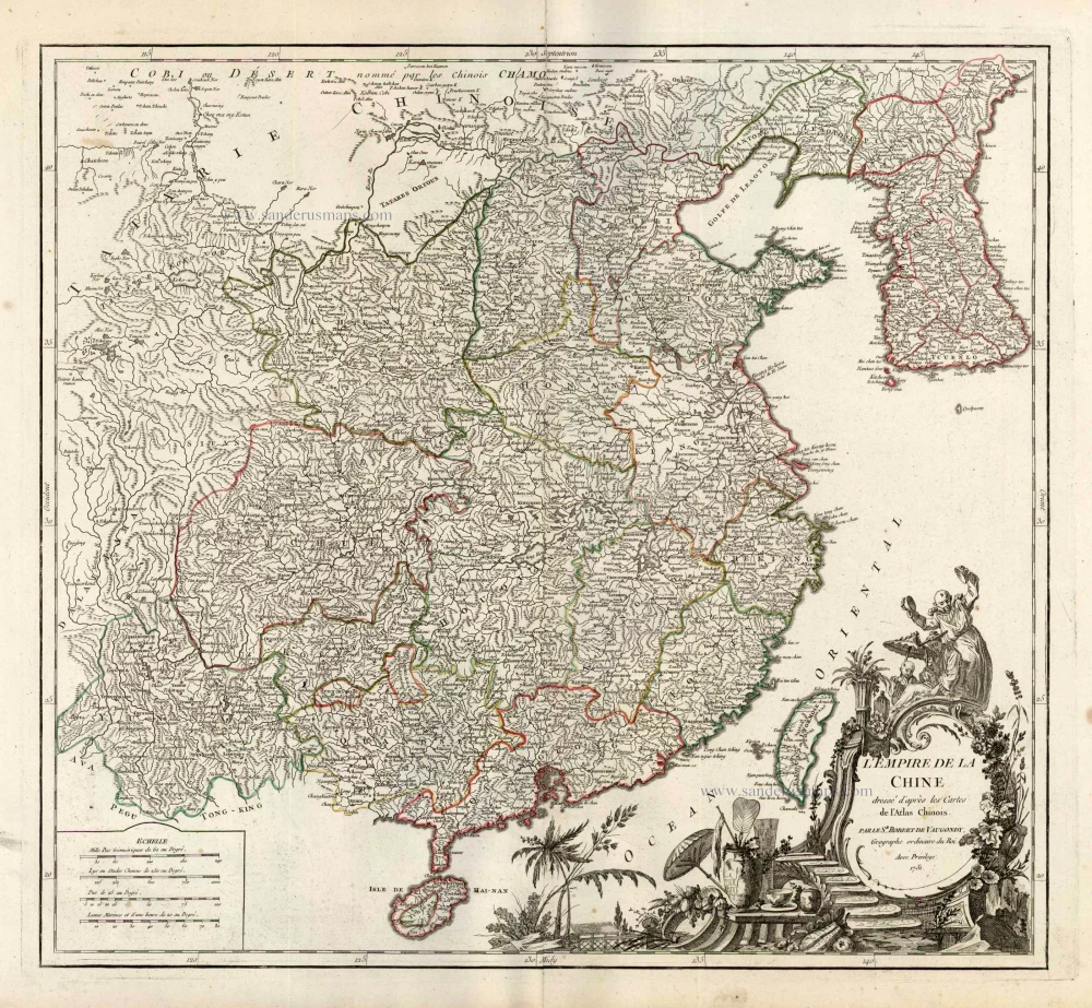
L'Empire de la Chine Dresse d'apres les Cartes de l'Atlas Chinois ... c. 1757
China, by Robert de Vaugondy.
[Item number: 5093]

With Korea as an island.
China 1619
China, Korea and Japan by J. Hondius.
[Item number: 6494]
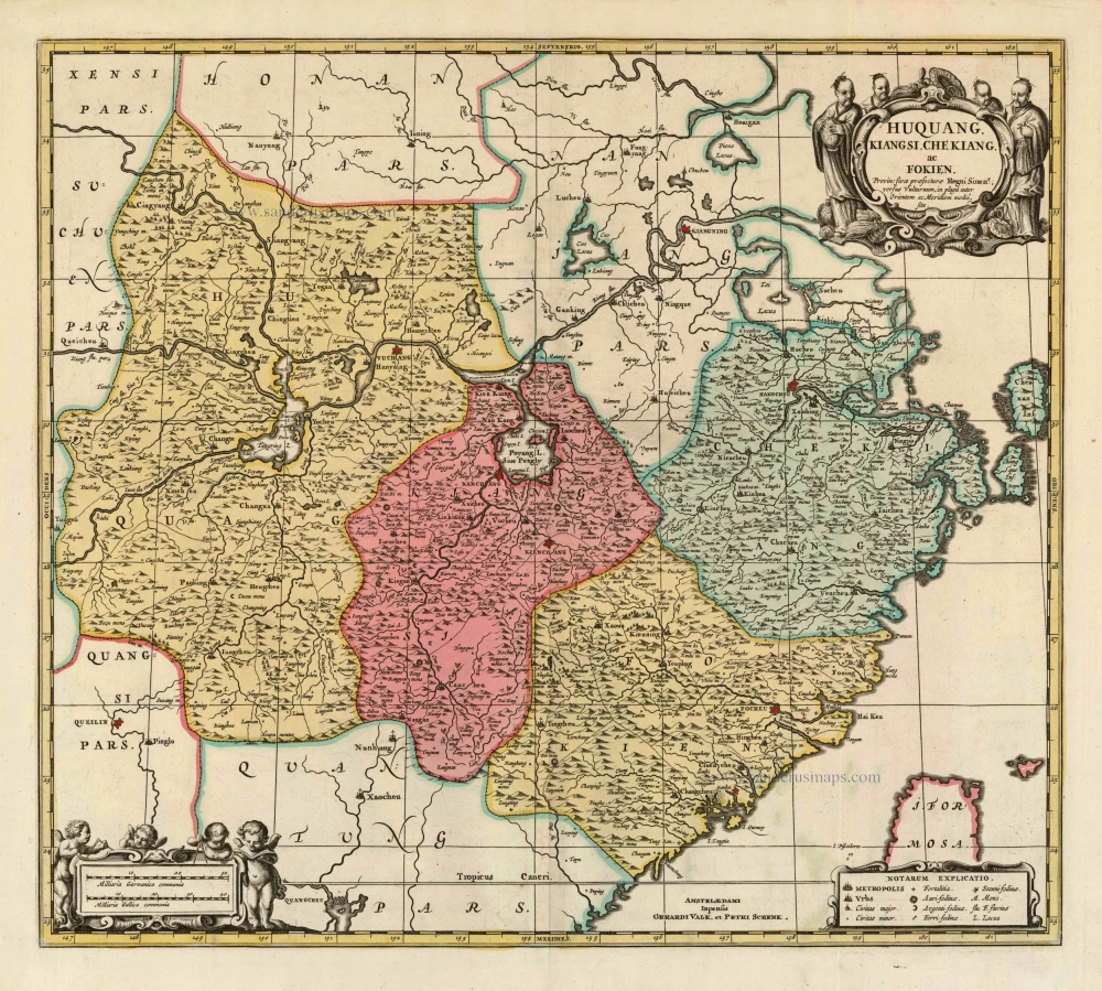
Huquang, Kiangsi, Che Kiang, ac Fokien. Provin: sivae praefecturae Regni Sinen:s, versus Vulturnum, in plaga inter Orientem ac Meridiem media, sitae. c. 1700
Eastern China, by Valk and Schenk.
[Item number: 8453]