
SCARCE !
View of Tianjin (Tientsin - China), by Carel Allard. 1685/90

The Allard Family
The founder of this family of map-makers, publishers and print-sellers was Huych (Hugo) Allard (1625-1691). He worked in Amsterdam in 1684 and is supposed to have begun his business as early as 1645. He died in 1691, leaving his shop to his son, Carel Allard (1648-c. 1706). Carel brought out many maps and some atlases. His atlases are mainly composed of maps from the stock of other publishers like Janssonius and De Wit. However, some maps were his original creations. The States of Holland granted him a privilege for these maps in 1683.
One of the sons of Carel, Abraham Allard (1676-c.1730), joined his father in the map trade and was accepted as a member of the ‘Constvercoopers gilde’ (Art dealer’s Guild) in 1708.
The original geographical maps by Allard, designed and cut between 1680 and 1700, are very decorative, well-composed and up-to-date.
Kuching.
Item Number: 30585 Authenticity Guarantee
Category: Antique maps > Asia > China
View of Tianjin (Tientsin - China), by Carel Allard.
Title: Kuching.
Top right: '37'
Date: 1685/90.
Copper engraving, printed on paper.
Image size: 215 x 270mm (8.46 x 10.63 inches).
Sheet size: 315 x 395mm (12.4 x 15.55 inches).
Verso: Blank.
Condition: Excellent.
Condition Rating: A+.
From: Ludolph Smids, Orbis habitabilis oppida et vestitus. Amsterdam, Carel Allard, ca. 1685/90. (Van der Krogt 4, p. 532, 453:1)
The Allard Family
The founder of this family of map-makers, publishers and print-sellers was Huych (Hugo) Allard (1625-1691). He worked in Amsterdam in 1684 and is supposed to have begun his business as early as 1645. He died in 1691, leaving his shop to his son, Carel Allard (1648-c. 1706). Carel brought out many maps and some atlases. His atlases are mainly composed of maps from the stock of other publishers like Janssonius and De Wit. However, some maps were his original creations. The States of Holland granted him a privilege for these maps in 1683.
One of the sons of Carel, Abraham Allard (1676-c.1730), joined his father in the map trade and was accepted as a member of the ‘Constvercoopers gilde’ (Art dealer’s Guild) in 1708.
The original geographical maps by Allard, designed and cut between 1680 and 1700, are very decorative, well-composed and up-to-date.
Related items

Pecheli, Xansi, Xantung, Honan, Nanking, In plaga Regni Sinensis in ter Septentrionem ac OrientemCeciam versus sitae Provinciae. c. 1700
Northeastern China, by Valk G. & Schenk P.
[Item number: 2694]
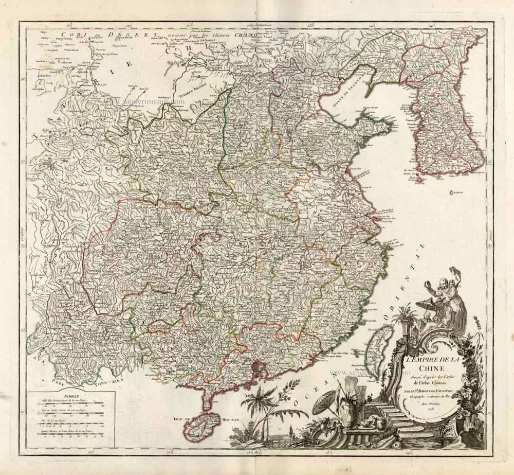
L'Empire de la Chine Dresse d'apres les Cartes de l'Atlas Chinois ... c. 1757
China, by Robert de Vaugondy.
[Item number: 5093]
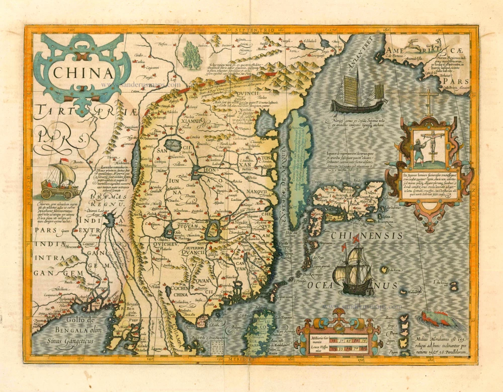
With Korea as an island.
China 1619
China, Korea and Japan by J. Hondius.
[Item number: 6494]

Kuchin een Sineesche stadt in het lantschap Peking, aen de rivier Guci, de gemeene vryplaets des vluchtelingen van Sina en Korea = Kuchin Urbs regionis Peking, ... 1702
Tianjin (Tientsin - China), by Petrus Schenk.
[Item number: 26659]

China Veteribus Sinarum Regio Nunc Incolis Tame Dicta. 1649-55
China - Japan - Korea, by Willem & Joan Blaeu.
[Item number: 27043]

La Chine, Suivant les Nouvelles Observations. 1713
China, by Pieter van der Aa.
[Item number: 27095]

From the Martini atlas
Imperii Sinarum Nova Descriptio. c. 1691-97
China by Joan Blaeu, published by Frederick de Wit.
[Item number: 29431]
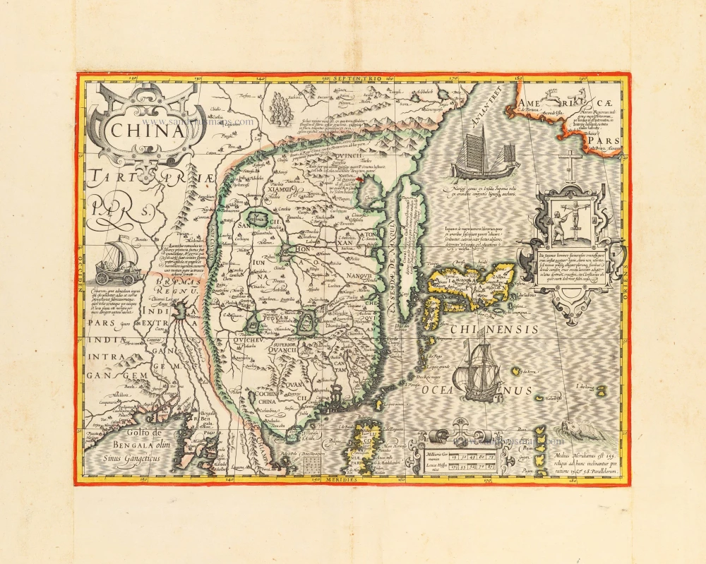
With Korea as an island.
China c. 1630-1650
China, Korea and Japan by J. Hondius.
[Item number: 30856]
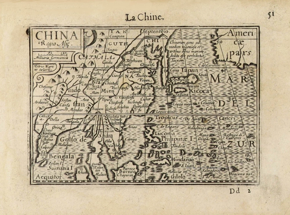
China Regio Asiae. c. 1600
China by Barent Langenes.
[Item number: 32299]

Afrique. 1659
Africa by Nicolas Sanson.
[Item number: 33215]
new
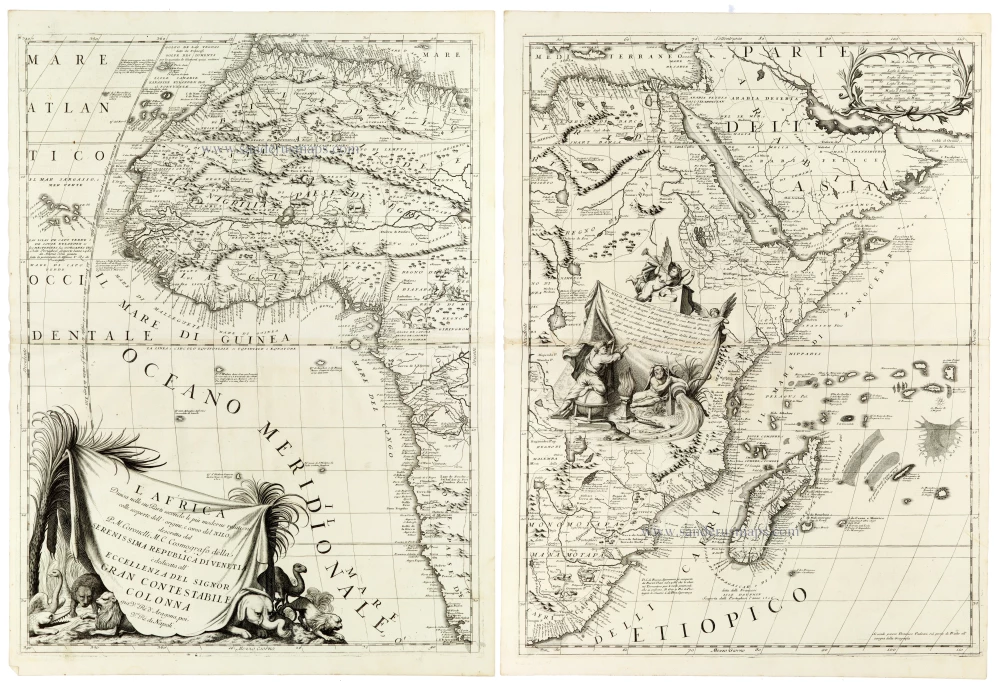
An outstanding example of late seventeenth-century Italian cartography
L'Africa Divisa nelle sue Parti Secondo le Piu Moderne Relationi colle scoperte dell' origine, e corso del Nilo, 1691
Africa by Coronelli V.M.
[Item number: 33307]
new